Scan the QR code and open PeakVisor on your phone
The Superior Upland is a geographic region that covers the parts of the US that are located to the west and south of Lake Superior, including portions of Minnesota, Michigan, and Wisconsin. There are 244 named mountains and hills in the Superior Upland, the highest and most prominent of which is Eagle Mountain.
The Superior Upland is a southern extension of the Laurentian Upland, a geologically distinct province of the much larger Canadian Shield. The Canadian Shield is a massive geologic region that covers more than half of present-day Canada, most of Greenland, and portions of the northern US.
While the Superior Upland is not particularly mountainous, it's far more rugged than other areas of the Midwest. The hilliest parts of Minnesota, Michigan, and Wisconsin all lie in the Superior Upland region.
The Superior Upland covers the northern third of the state of Wisconsin, in a geographic region known as the Northern Highlands. The upland is dominated by rolling hills, massive hardwood and coniferous forests, and contains thousands of glacial lakes.
The Superior Upland region is generally much higher in elevation than the rest of the state. Elevations in the region range from lows of around 700 feet (213 m) to just under 2,000 feet (610 m) at the summit of Timms Hill, the highest point in Wisconsin.
There are many protected lands in Wisconsin’s Superior Upland region. These include:
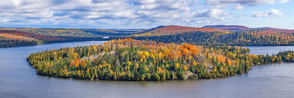
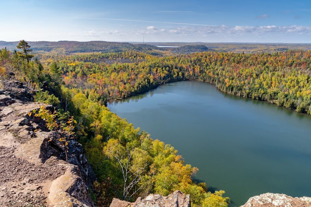
The Superior Upland covers the upper northeast corner of Minnesota. It is often referred to as ‘Arrowhead Country’ due to its unique pointed shape. This part of Minnesota is dotted with thousands of lakes that are surrounded by countless acres of boreal forest.
There are a number of relatively low-lying ranges in the area, including the Mesabi Range and the Vermillion Range, both of which are known for their sizable iron ore deposits. The Superior Upland region also contains Minnesota’s only mountain range, the Sawtooth Mountains, and the state’s highest point, Eagle Mountain.
Protected areas in Minnesota’s Superior Upland region include:
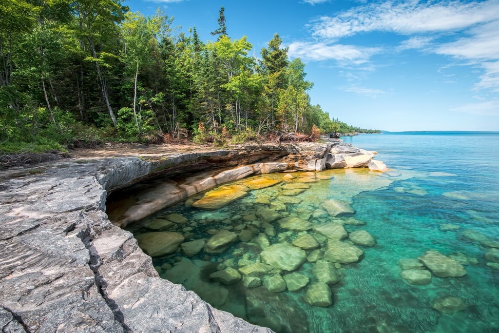
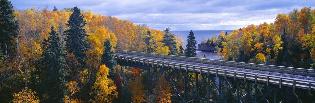
In Michigan, the Superior Upland covers the western half of the Upper Peninsula, a forested region that accounts for 16,542 square miles (42,844 sq. km.) of the state’s total landmass. The Superior Upland runs along the banks of Lake Superior and into the Porcupine Mountains.
This area is far more rugged than the eastern Great Lakes Plain region of the state, and it contains many of Michigan’s highest peaks. Mount Arvon, the highest mountain in Michigan, and Mount Curwood, the second-highest summit in the state, both lie in the Huron Mountains in the Superior Upland Region.
Protected areas in Michigan’s Superior Upland region include:
The Superior Upland is the southern extension of Laurentian Upland province, which is one of several physiographic regions of the Canadian Shield. For the most part, the Canadian Shield extends from Minnesota in the southwest to Nunavut in the northwest and from Greenland in the northeast to New York in the southeast
The Canadian Shield contains rocks that form the ancient geologic core of what’s now the continent of North America. Folds and faults in the region date back to the Precambrian and they are the results of several episodes of mountain building in the Superior Upland region and elsewhere throughout the Canadian Shield. Additionally, the Canadian Shield experienced substantial glaciation during the Pleistocene.
Though the structure of the rock found in the Superior Upland is extremely complex, geologists generally agree that the rocks in this region are mostly Precambrian igneous and metamorphic rocks. Much of this ancient rock is covered with a thin layer of sediment that was left behind as the glaciers melted at the end of the Pleistocene.
During the Late Wisconsin Glacial Episode, a massive continental ice sheet expanded southward, engulfing the region that is now the Superior Upland as it moved through the Superior basin. When the continental ice sheets melted, they left behind an assortment of glacial sediment that covers much of the Superior Upland to this day.
In the Superior Upland region of western Michigan, erosion-resistant mountain cores in the Porcupine and Huron Mountains are evidence of an old Precambrian Shield that extends north into Canada.
There is also an extensive history of mining for valuable minerals in the Superior Upland. In northeastern Minnesota, the Iron Range, which is a collection of Precambrian sedimentary formations, is home to one of the largest deposits of iron ore in the country. The Keweenaw Peninsula in Michigan has also yielded massive amounts of iron ore and copper over the past few centuries.
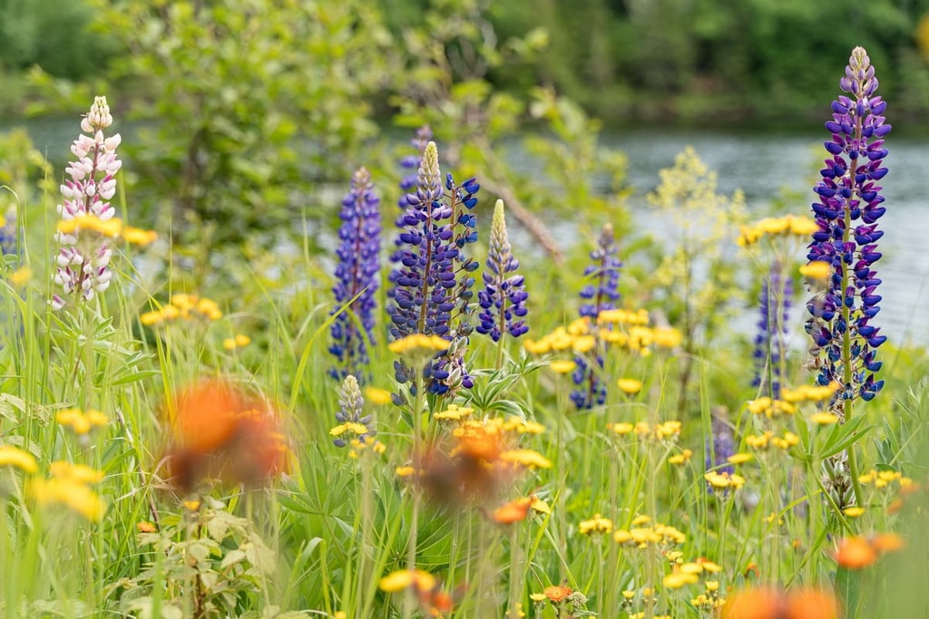
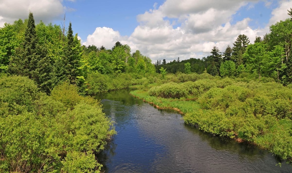
The Superior Upland lies in the Northern Lakes and Forest ecoregion, which covers northern Wisconsin, Minnesota, and Michigan. Much of the area is characterized by nutrient-poor glacial soils, coniferous and northern hardwood forests, undulating till plains, morainal hills, large lake basins, and broad areas of sandy outwash plains.
Nutrient-poor soil and lower annual temperatures hinder agricultural productivity in the Superior Upland region. Woodland and forests are the predominant land use and cover in the region. The area is also significant for its large concentration of glacial lakes and critical wetland habitats, many of which sustain rare aquatic species.
The Northern Lakes and Forests ecoregion has historically been one of the most intensively logged geographic areas in the US. The region’s vast white and red pine forests were extensively logged through the early 1900s.
Today, forests in the region feature a mix of both coniferous and northern hardwood deciduous trees. Mixed broadleaf-coniferous forests in the Superior Uplands typically boast stands of jack pine, balsam fir, black spruce, and white spruce. Common hardwoods include quaking aspen, sugar maple, red maple, yellow birch, and oak.
As far as wildlife in the Superior Upland region goes, some of the many animals found in the region include black bears, whitetail deer, elk, moose, and a growing population of timber wolves.
The Superior Upland region has been continuously inhabited by humans for thousands of years. Many Indigenous communities and nations have thrived in these woodlands over the course of millennia, including the Menominee (omǣqnomenēwak), Ho-Chunk (Hoocągra), Odawa, Ojibwe (Chippewa), and Potawatomi.
Though the many Tribes of the Superior Upland region were and are different in many ways, they all traditionally relied heavily on hunting, fishing, and gathering for survival. Many Tribes who historically lived around the Superior Upland were also skilled at agriculture, and many communities in the area grew corn, squash, and beans.
The exact date that Indigenous peoples in the region first made contact with Europeans is unknown. However, during the early 1500s, Europeans off the coast of northeastern Canada were known to trade with Tribal Nations in the Great Lakes region.
French fur traders and trappers were in regular contact with the Ojibwe in the Great Lakes region as far back as the early seventeenth century. The Ojibwe allied themselves with the French, both economically and militarily, which allowed them to take control of nearly all of present-day Michigan, northern Wisconsin, and Minnesota by the eighteenth century.
Between the late 1700s and mid-1800s, the Great Lakes region was claimed by both the French and British. The final conflict, the French and Indian War (also known as the Seven Years’ War), ended with the British gaining control of the area.
Not long afterward, the British signed the Treaty of Paris in the aftermath of the American Revolutionary War. As a result of this treaty, the British surrendered nearly all of their claimed territory to the east of the Mississippi River and to the south of the Great Lakes to the US.
The Ojibwe, along with other Great Lakes Tribes, would later sign a series of land cession treaties throughout the nineteenth century. Many of these treaties came with the contingency that the Tribes reserved the right to remain on their homelands to hunt, fish, and gather wild rice.
Unfortunately, these treaties were not honored in the long run. The Ojibwe were subsequently forced to fight for their land and for their hunting and fishing rights for decades to come.
By 1871, most Indigenous people in the region had been removed from their homelands and forced onto reservations throughout Michigan, Wisconsin, and Minnesota. Today, many members of the region’s federally recognized tribes live on reservations in the Superior Upland region.
These reservations include the Lac du Flambeau Ojibwe Reservation, Bad River Ojibwe Reservation, and Mole Lake Ojibwe Reservation in Wisconsin; the Grand Portage Reservation and Fond du Lac Reservation in Minnesota; and the Lac Vieux Desert Reservation, L'Anse Reservation, Ontonagon Reservation, Hannahville Community, and Bay Mills Community (also known in Ojibwe as Gnoozhekaaning) in Michigan.
The Superior Upland region contains a huge variety of outdoor recreation opportunities. These are some of the best places to check out during your next visit to the area.
Located at the headwaters of the Wisconsin, Flambeau, and Manitowish Rivers, the Northern Highland-American Legion State Forest protects 236,000 acres (95,506 ha) and more than 900 lakes in Wisconsin’s Superior Upland region.
Beaches, boat launches, scenic hiking trails, and dozens of remote campsites are scattered throughout the state forest. The park also boasts more than 70 miles (113 km) of cross-country ski trails and 400 miles (644 km) of snowmobile trails, making it an outstanding winter recreation destination.
Popular trails and attractions in the forest include the Tom Roberts Nature Trail, North Trout Nature Trail, Raven Nature Trail, Star Lake Nature Trail, Lumberjack Trail, Shannon Lake, and Clear Lake.
The Chequamegon-Nicolet National Forest encompasses more than 1.5 million acres (607,028 ha) of northern Wisconsin. The national forest, which is spread out across a dozen counties, is technically two distinct, jointly administered forests that have been divided into several individual units.
In particular, the Chequamegon National Forest in north-central Wisconsin contains two federally designated wilderness areas—the Porcupine Lake Wilderness and Rainbow Lake Wilderness. The Nicolet National Forest in northeastern Wisconsin contains three designated wilderness areas—Blackjack Springs Wilderness, Headwaters Wilderness, and Whisker Lake Wilderness.
Dozens of lakes, campgrounds, and hiking trails offer visitors a plethora of outdoor recreation opportunities in the national forest. Popular trails and attractions in the forest include Morgan Falls, Anvil Lake, the Nicolet State trail, Chute Pond Overlook, Fanny Lake, Black Lake, and the North Country Trail.
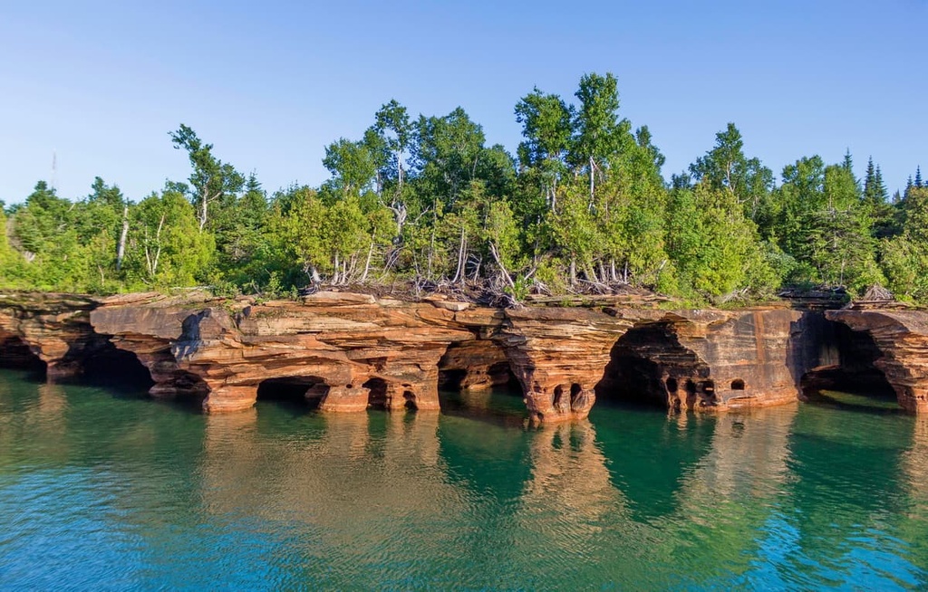
The Apostle Islands National Lakeshore is a collection of 21 islands and 12 miles (19 km) of mainland coastline in northern Wisconsin. Encompassing more than 69,300 acres (28,045 ha), the park is both culturally significant and filled with natural beauty.
More than 50 miles (80 km) of maintained hiking trails and 9 historic lighthouses are spread out across the archipelago within the national lakeshore. There are also plenty of opportunities for water-based recreation, including scuba diving, fishing, canoeing, and kayaking, in the region.
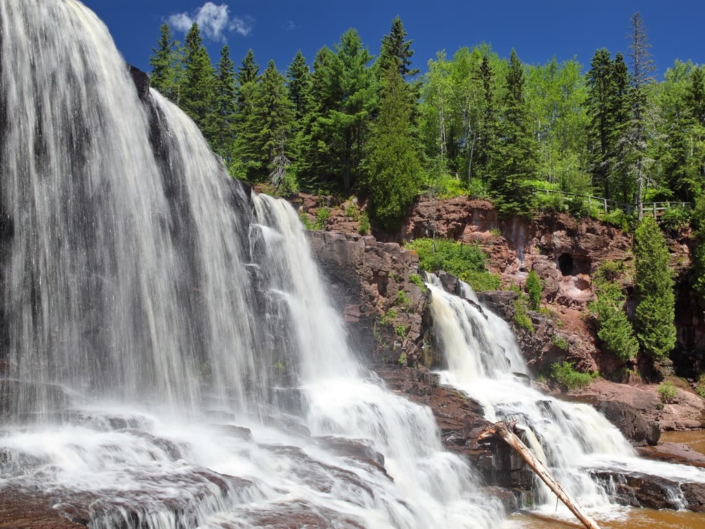
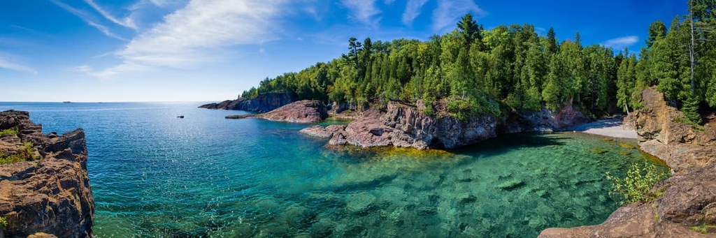
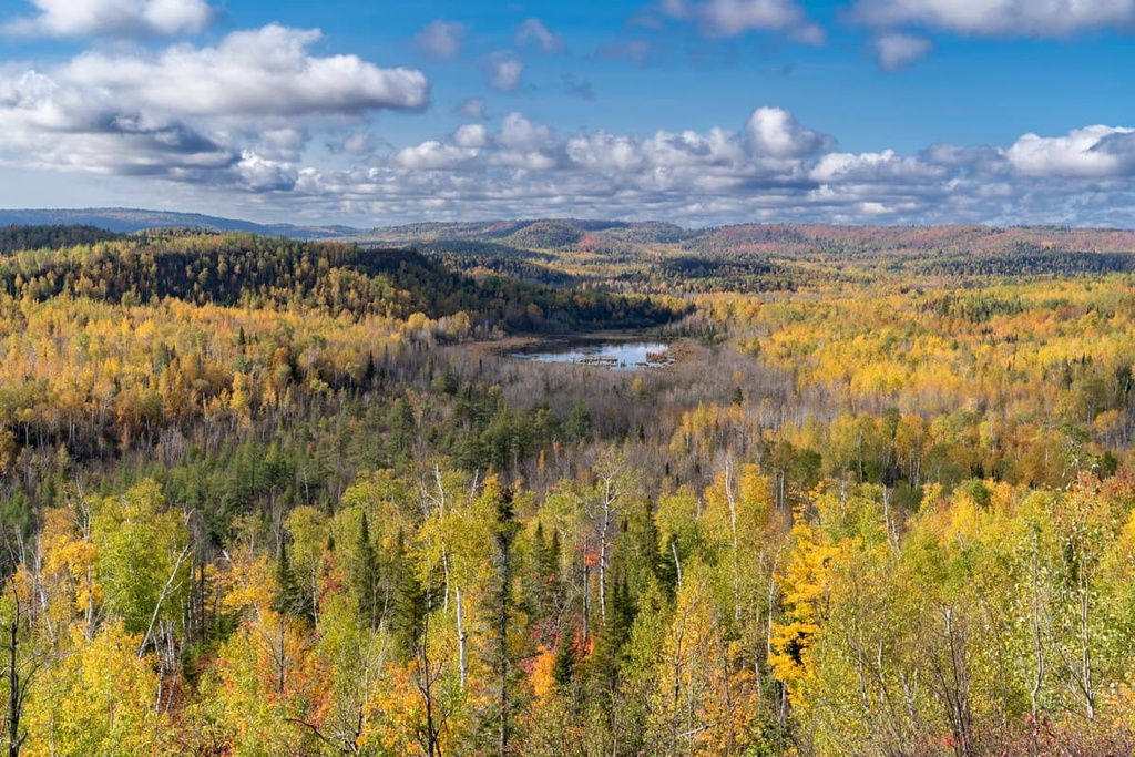
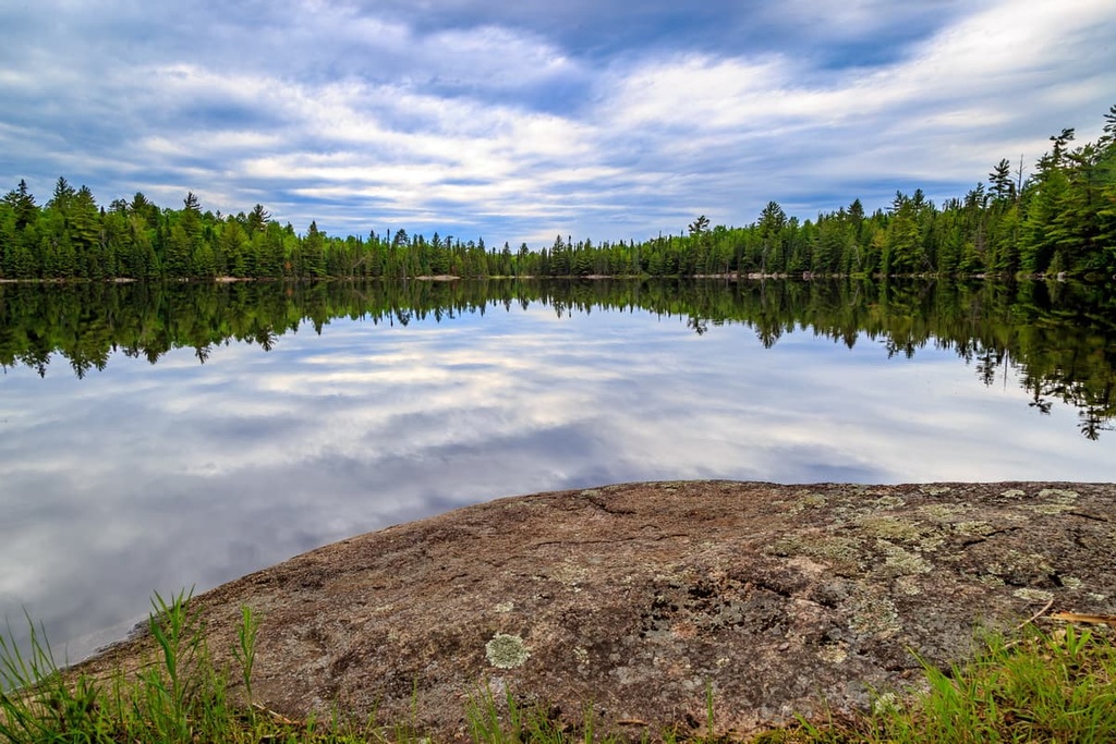
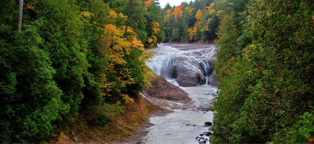
Located in Minnesota’s Arrowhead Region, the Superior National Forest protects over 3.9 million acres (1.6 million ha) of wilderness and water between the Canada–US border and the northern shore of Lake Superior.
The Superior National Forest contains roughly 2,000 lakes and rivers, 1,300 miles (2,092 km) of cold-water streams, and 950 miles (1,529 km) of warm water streams. Just over a quarter of the forest is set aside as the Boundary Waters Canoe Area Wilderness, where canoeists can explore interconnected freshwater lakes and travel along historic portages.
The forest also contains more than 2,000 miles (3,219 km) of trails designated for hiking, riding, and backpacking. Some of the most popular trails in the area include the Oberg Mountain Loop, Eagle Mountain, Pincushion Mountain Overlook, Honeymoon Bluff, and Caribou Rock.
Established in 1975, Voyageurs National Park protects over 200,000 acres (81,000 ha) of scenic rock ridges, wetlands, forests, streams, and lakes. The park is most notable for its outstanding water recreation opportunities, but it also contains more than 50 miles (80 km) of varied hiking trails and over 200 campsites.
Most of the park is only accessible by boat or, in the winter, by snowmobile, ski, or snowshoe. However, guided tours and boat charters are available for anyone who would rather not coordinate their own travel.
Some of the most popular attractions in the park include Sullivan Bay, Ellsworth Rock Garden, Grassy Bay Cliffs, Gold Portage, Kettle Falls, Kabetogama Lake, and Junction Bay Falls.
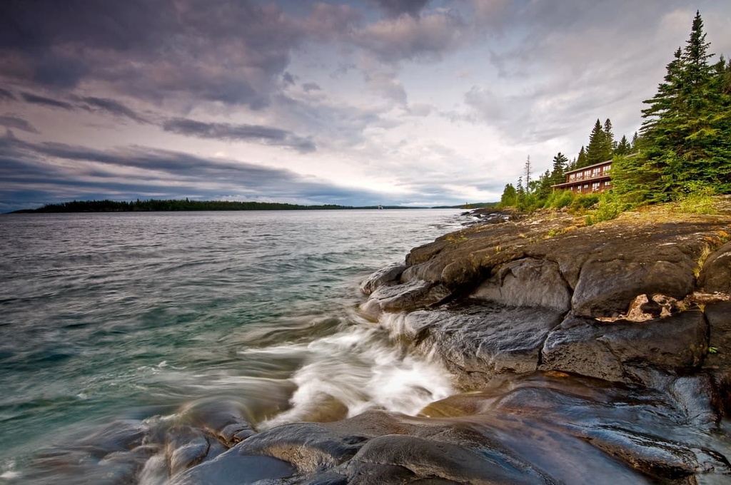
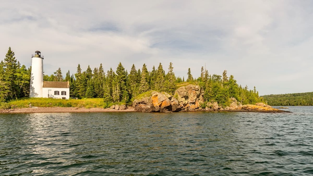
Despite receiving National Park designation in 1940, Isle Royale has remained a vast, mostly undeveloped, car-free, and remote wilderness that’s packed with wildlife, crystalline lakes, babbling waterways, and lush forests.
The park protects Isle Royale, the second-largest island in the Great Lakes, and more than 400 adjacent islands. It is perhaps best known for its population of timber wolves and moose, both of which freely roam the island.
Although Isle Royale National Park is located closer to Minnesota and Ontario than it is to Michigan, it is technically located in Michigan. Additionally, most of the ferries that take you from the mainland to Isle Royale operate from Copper Harbor and Houghton in Michigan, though there are some ferries from Grand Portage and Grand Marais in Minnesota.
Isle Royale National Park is unique as it is the only US national park that officially closes in the winter months. No ferries operate to the park from November to mid-April of each year and the island is fully closed to visitors during this time. However, if you get a chance to visit Isle Royale during the spring, summer, or fall, it’s sure to be the trip of a lifetime!
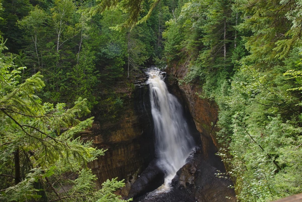
The Ottawa National Forest protects nearly a million acres of the western Upper Peninsula in Michigan. The forest is filled with natural treasures, including more than 500 lakes, 2,000 miles (3,219 km) of streams and rivers, dozens of waterfalls, and acres upon acres of lush forest.
There are three designated wilderness areas in the Ottaway National Forest: Sylvania Wilderness, Sturgeon River Gorge Wilderness, and McCormick Wilderness. Popular trails and attractions in the forest include the Cascade Falls Trail, Rainbow Falls, Potawatomi Falls, Great Conglomerate Falls, Gorge Falls, and Copper Peak.
The Superior Upland region is not densely populated. However, many charming communities and seaside port cities are scattered throughout the area. If you’re looking for somewhere to stay during your visit to the Superior Upland region, here are some of the best cities to consider as you plan your adventures.
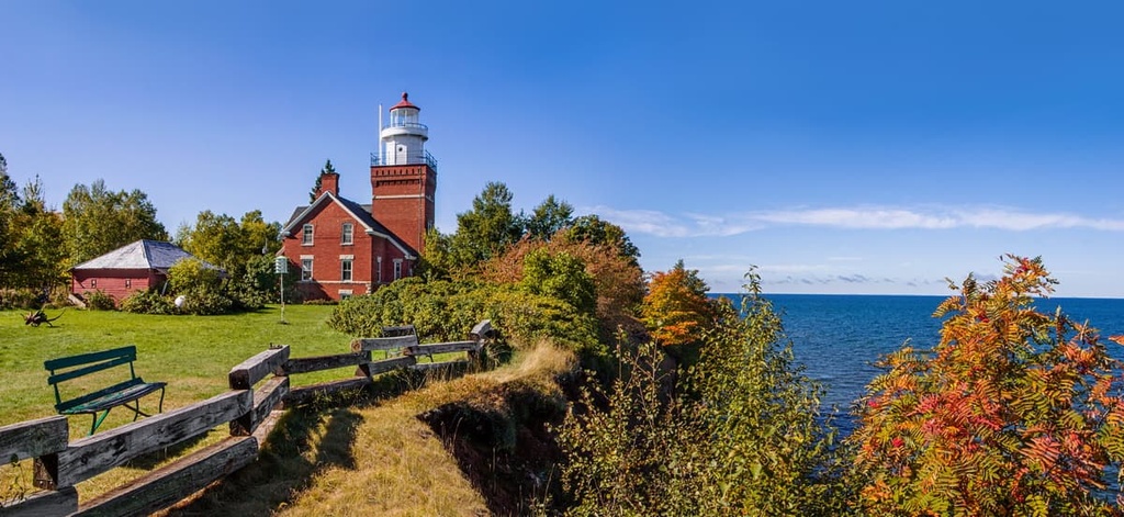
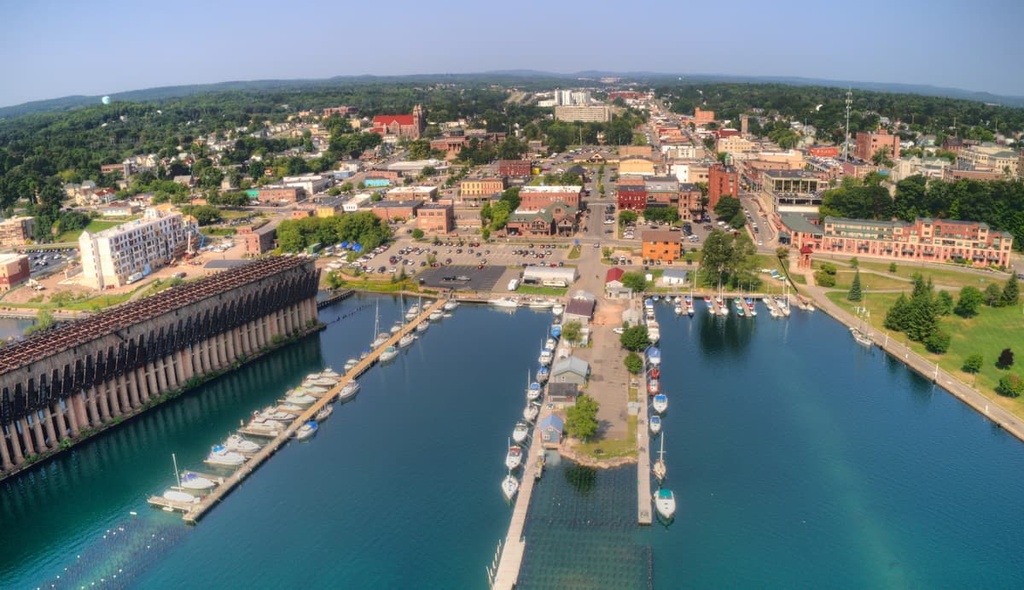
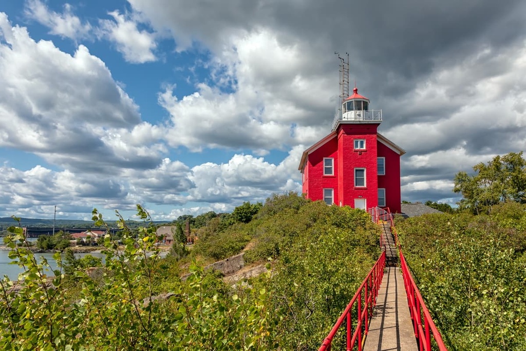
With a population of over 21,000 people, Marquette is the biggest city in Michigan’s Upper Peninsula. Marquette is a major port city located on the shores of Lake Superior, and it is known primarily for its importance in the iron ore shipping industry.
The city also boasts miles of scenic shoreline, and it is an excellent destination for outdoor recreation. Nearby natural attractions include Pictured Rocks National Lakeshore, Canyon Falls, and Kitch-iti-kipi. Visitors are also welcomed to learn about the city’s maritime history by visiting Marquette’s many museums and historic lighthouses.
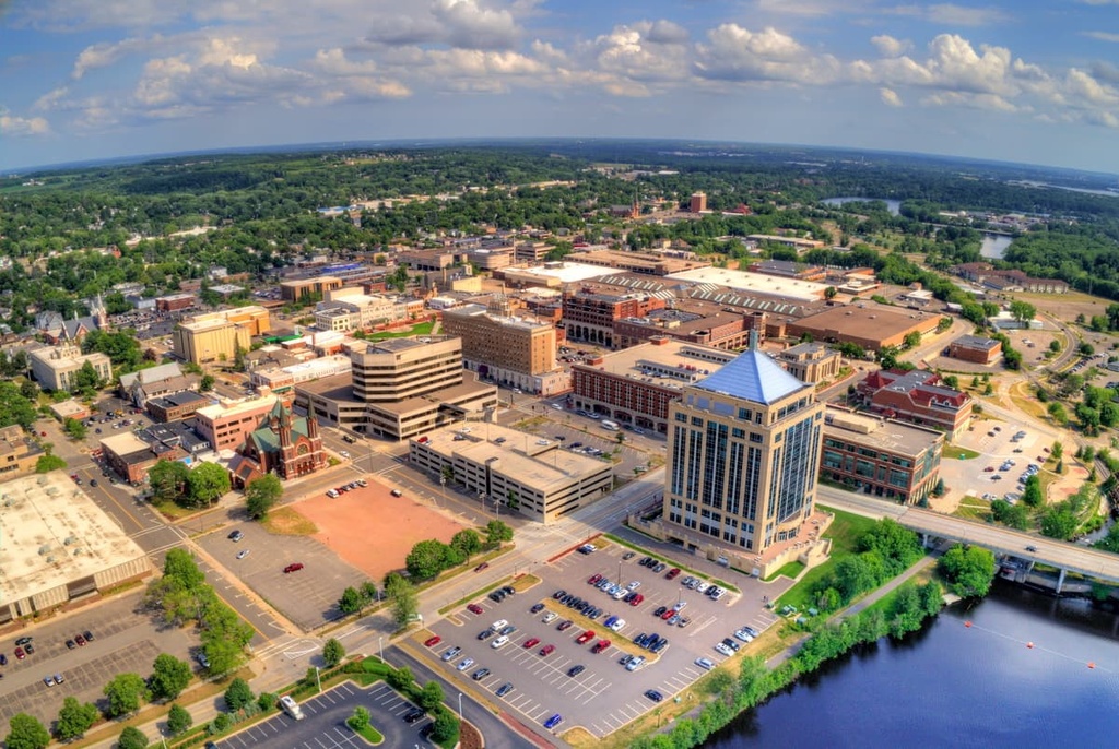
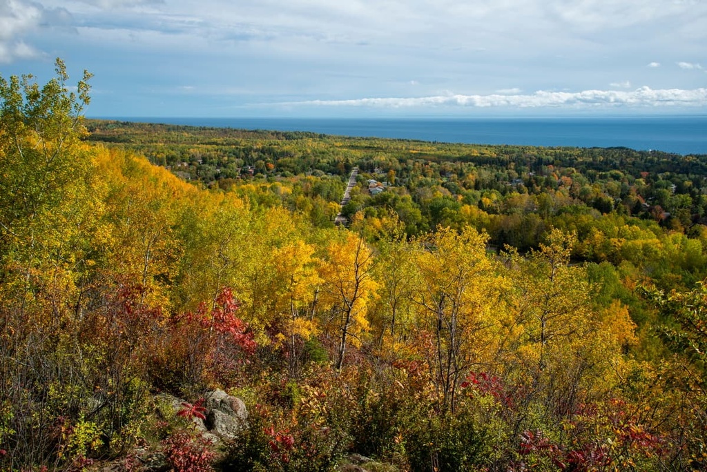
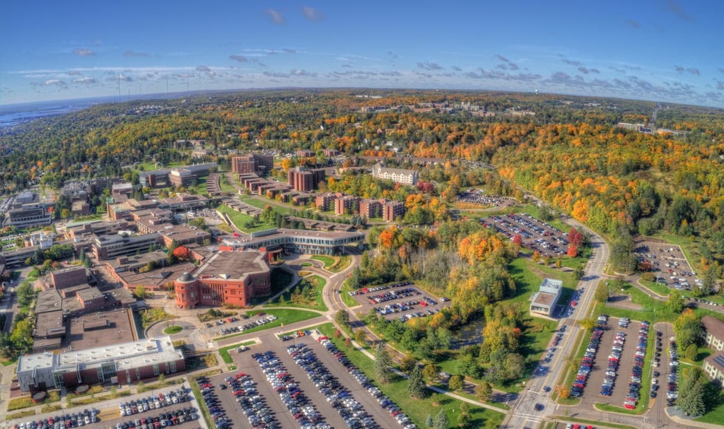
Together, with neighboring Superior, Duluth forms Minnesota’s second largest metropolitan area. It lies on the north shore of Lake Superior at the westernmost point of the Great Lakes.
Home to a population of roughly 86,000 residents, Duluth is best-known for its maritime history and harborside attractions. It’s also located just 65 miles (105 km) away from the Superior National Forest and the Sawtooth Mountains, making it an outstanding destination for hiking, camping, and sightseeing.
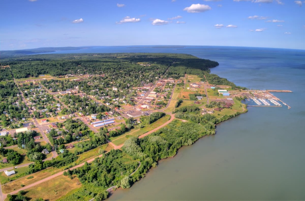
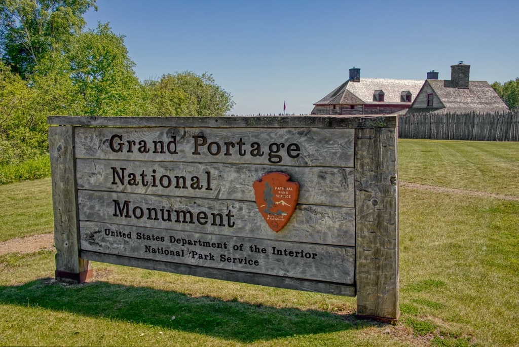
Grand Portage is a small community located in the northeast corner of Minnesota, near the state’s border with Ontario in Canada. Though the city is home to fewer than 1,000 permanent residents, it’s frequented by travelers looking to adventure in northern Minnesota’s vast wilderness.
Visitors to Grand Portage can experience the “Niagara of Minnesota,” High Falls, which is located in Grand Portage State Park. Other fun things to do in town include taking a ferry ride to Isle Royale National Park and visiting the Grand Portage National Monument.
Known locally as one of the best places to play in the snow, the town of Wausau, Wisconsin is the home to a plethora of outdoor recreation areas, including Rib Mountain State Park, Granite Peak Ski Area, Nine Mile Forest, and Sylvan Hill.
It’s also located just south of Chequamegon-Nicolet National Forest, making it a popular destination for hiking, camping, backpacking, and water recreation. In addition to its central location near many of the region’s most spectacular landscapes, Wausau also offers a wide selection of restaurants, amenities, and accommodation options for visitors to enjoy.