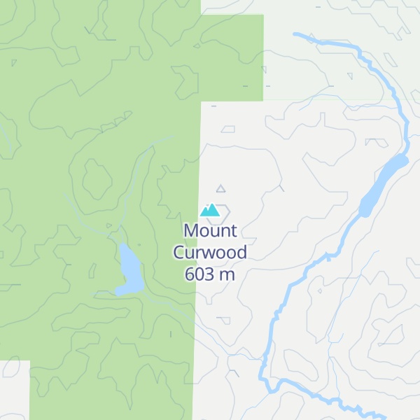
Mount Curwood, elevation 1,978 feet (603 m), in L'Anse Township, Baraga County, is the second highest point in the U.S. state of Michigan. Mount Curwood is a part of the Huron Mountains range.
Named in honor of Michigan author James Oliver Curwood, Mount Curwood was long designated as Michigan's highest point until a survey in 1982 with modern technology determined that nearby Mount Arvon is actually 1,979 feet (603 m) high—one foot taller than Mount Curwood.
There's a trail leading to the summit.
By elevation Mount Curwood is
# 3 out of 338 in Michigan # 3 out of 6 in Baraga County # 15 out of 243 in the Superior Upland
We use GPS information embedded into the photo when it is available.
3D mountains overlay
Adjust mountain panorama to perfectly match your photos because recorded by camera photo position might be imprecise.
Move tool
Rotate tool
Zoom
More customization
Choose which peak labels should make into the final photo and what photo title should be.
Next
Photo Location
Satellitte
Flat map
Relief map
Latitude
Longitude
Altitude
OR
Latitude
°'''
Longitude
°'''
Apply
Register Peak
Peak Name
Latitude
Longitude
Altitude
Register
Teleport
PeakVisor
This 3D model of Sagarmatha National Park in Nepal was made using the PeakVisor app topographic data. The mobile app features higher precision models worldwide, more topographic details, and works offline. Download PeakVisor maps today.
Download OBJ model
PeakVisor
The download should start shortly. If you find it useful please consider supporting the PeakVisor app.
PeakVisor for iOS and Android
Be a superhero of outdoor navigation with state-of-the-art 3D maps and mountain identification in the palm of your hand!