
Scan the QR code and open PeakVisor on your phone
Isle Royale National Park has 16 named peaks. The highest is Mount Desor at 423 m. Other notable peaks include Ishpeming Point, Sugar Mountain and Red Oak Ridge.
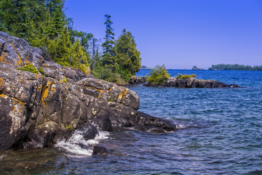
Isle Royale National Park occupies the northwest portion of Lake Superior in Michigan, USA. The park boundary includes the main island and more than 400 smaller islands, peppered with backpacking trails, campsites, and numerous ways to get out and enjoy the largest freshwater lake, by surface area, in the world. There are 16 named mountains in the park. Mount Desor is the tallest (1,388 ft / 423 m) and most prominent (787 ft / 240 m).
Isle Royale National Park covers 132,018 acres (53,426 ha) of land across one main island and more than 400 small islands in northwestern Lake Superior. Including water, the park’s total area is 850 mi2 (2,200 km2). The national park is part of Michigan, although the closest mainland is Canada, 12 mi (20 km) to the north.
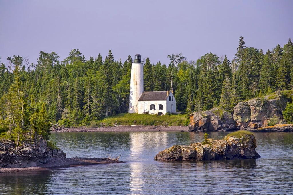
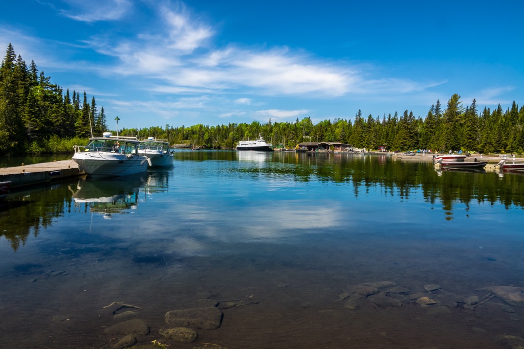
First established as a national park in 1931, almost the entire park was declared a wilderness area in 1976, and in 1980 became an International Biosphere Reserve. The park is only accessible by float plane or boat. The ferry service from Copper Harbor takes about three hours. Rock Harbor is the primary ferry stop, with several other harbors around the main island.
The gateway to the national park, Copper Harbor, holds the distinction of being the town furthest from an interstate highway in the Lower 48. The park is closed from October 30 to April 15 each year.
The tallest points on the island are Mount Desor (1,388 ft / 423 m), Ishpeming Point (1,368 ft / 417 m), Sugar Mountain (1,362 ft / 415 m), and Red Oak Ridge (1,322 ft / 403 m).
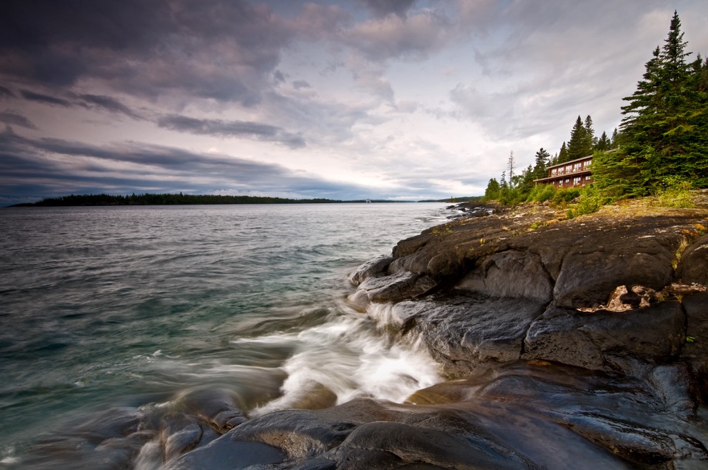
Isle Royale exists thanks to a geologic syncline, a fold within rock layers. One end of the fold makes up Isle Royale, while the other forms the Keweenaw Peninsula. The island contains two main bedrock formations. The Portage Lake Lava series composes 85% of the island, and Copper Harbor Conglomerates cover the other 15%.
Four glacial periods have carved out the island and surrounding region, the most recent one ending 12,000 years ago. They left behind thin layers of glacial deposit, and melting glacial ice formed the numerous lakes in the region.
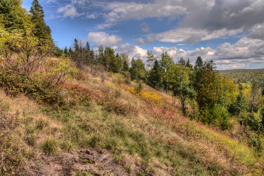
Most of the island’s hiking trails cross over exposed bedrock in areas with little or no soil horizon. The Greenstone Ridge, the island's backbone, is considered by many geologists to be part of the most significant lava flow on Earth.
The island's terrestrial ecosystem contains boreal conifer and northern hardwood forests. Balsam fir, white spruce, and paper balsam are common in cooler, wetter areas near the lake. Sugar maple and yellow birch prefer the warmer and drier parts of the island. In total, the island supports over 900 species of plants.
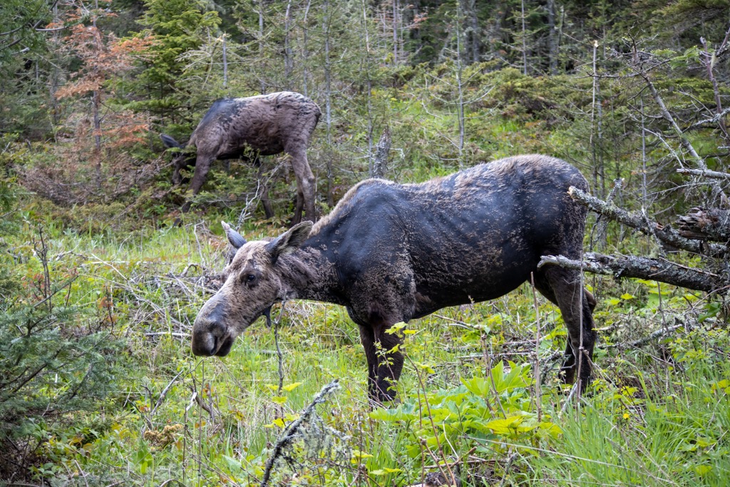
Nineteen species of mammals live on the island, which is less diverse than mainland Michigan due to its remote nature. Among the mammals that make their home on the island are wolves, moose, foxes, lynx, river otters, martens, ermines, minks, bats, snowshoe hares, beavers, muskrats, chipmunks, and squirrels.
Naturally, birds have an easier time crossing the water barrier to reach the island’s abundant resources. Two hundred forty-seven species have been recorded within the park, including hawks, harriers, kites, osprey, ducks, teals, geese, swans, mergansers, plovers, killdeer, terns, gulls, peregrine falcons, loons, crows, ravens, swallows, owls, and grebes.
The surrounding waters support 60 fish species, such as chub, shiner, sturgeon, salmon, trout, and sculpin.
The national park has been the site of a long-standing study of predator-prey relations, particularly the relationship between wolves and moose. Caribou previously lived on the island but died out in the early 1900s, leaving moose as wolves’ primary food source.
Wolves have been the sole apex predator on the island since the 1940s. Due to its isolated nature, low genetic diversity and inbreeding negatively affected the population. In 2018, the first wolves were introduced into the ecosystem to improve the overall health of the island’s population.
The Isle Royale archipelago is the ancestral land of the Ojibwe tribe, part of the Grand Portage Band of Lake Superior Chippewa. For centuries, Native Americans have fished, harvested plants, and held spiritual ties to the region.
Fisheries on the island began in the 1830s and continued for nearly a century. In the 1930s, the federal government purchased the fisheries as they established the park, although some families retain special permission to return to fish each year.
Another significant period in the island’s history was the copper mining boom. Multiple cycles occurred from 1843 to 1855, 1873 to 1881, and 1889 to 1893. When copper was first discovered in the area, several hopeful mining companies set up shop. For the most part, the mining industry was only modestly successful.
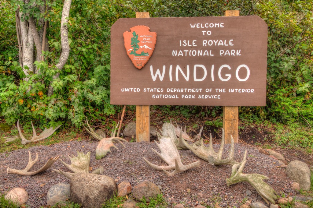
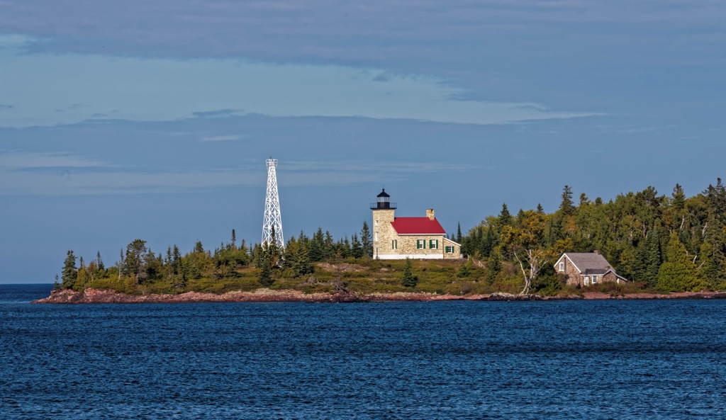
Today remains from abandoned mining operations litter the islands. For example, visitors can observe shaft holes near Rock Harbor and exploration trenches near Windigo. The National Park Service has given signage to many old mining sites so visitors can learn about this aspect of the island’s history.
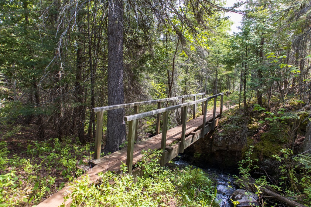
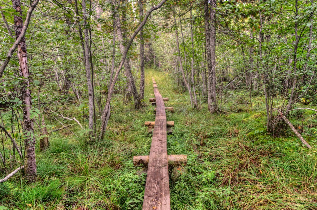
Visitors can explore Isle Royale by foot, canoe, or kayak. Although a handful of day hikes are available, many visitors choose to embark on multi-day backpacking trips around the island, going from campsite to campsite.
Check here for a complete list of day hikes that leave from Rock Harbor and Windigo. The park has a daily entrance fee of $7 and no additional overnight fee. However, permits are required for all overnight stays. These are free for groups of six or less. Larger groups should book permits in advance.
The Greenstone Ridge Trail is slightly over 40 mi (65 km), including spur trails to campsites. It is rated as intermediate and typically takes three to four days to complete. There are trailheads at Rock Harbor and Windigo. Another trailhead at Hidden Lake is only accessible by private boat or water taxi. The national park website for this trail provides day-by-day itineraries, including campsites and daily mileage, depending on which trailhead visitors start at.
The Minong Ridge Trail measures about 32 mi (50 km), including spur trails to campsites. It’s considered a challenging route and best for experienced backpackers with solid navigation skills. The trail is primitive and receives limited maintenance. Most people complete this route in five days.
Access points to this trail are at McCargoe Cove, Rock Harbor via the Greenstone Ridge, and Windigo. Like other routes, the national park website breaks down this backpacking loop with day-by-day details on campsites and mileages.
One of the day hike options travels from Rock Harbor to Suzy’s Cave. This easy trail leads to a cliff weathered by waves and an inland sea arch on the island's eastern side. It is a quick and straightforward way to get into some of Isle Royale’s natural beauty.
On the island, the options for sleeping over are backpacking, having a basecamp, or staying at Rock Harbor Lodge or Windigo Camper Cabins. The Lighthouse Restaurant and Greenstone Grill are the two island dining establishments. Stores offer basic supplies and food staples at Rock Harbor and Windigo. Most visitors bring their own food.
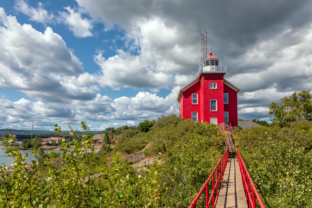
Copper Harbor, the gateway to the national park, is the furthest place in the Lower 48 from an interstate. Getting from larger cities to Isle Royale National Park is a bit of a trek.
Copper Harbor has a population of only 125 people but, as home to the ferry service to Isle Royale, sees many more people passing through annually. The ferry ride takes around three hours and is offered daily during the national park’s open season.
In addition to being the gateway to the national park, the appeal of this small town is the surrounding nature. There are endless ways to enjoy Lake Superior and its beaches, as well as nearby forests, waterfalls, wildflowers, and wildlife.
The town has a few restaurants, with local whitefish, trout, and thimbleberries often featured on the menus. Guests can find a place to stay at nearby mountain lodges, rustic lakeside resorts, cabins, motels, or B&Bs.
A three-hour drive from Copper Harbor, Marquette has a population of 20,000 and is the largest city in Michigan’s Upper Peninsula. Surrounded by more than 150 mi (240 km) of hiking, biking, and running trails and numerous opportunities for paddling, swimming, and fishing, this town is an outdoor lover’s paradise.
If you want to stay in town, visit one of the historic lighthouses, a maritime museum, or the regional history museum. You can grab a bite to eat at coffee shops, food trucks, local bars, and breweries and find options such as pizza, tacos, and burgers. Lodging includes affordable inns and motels, waterfront hotels, fancy suites, and plenty of campsites nearby.
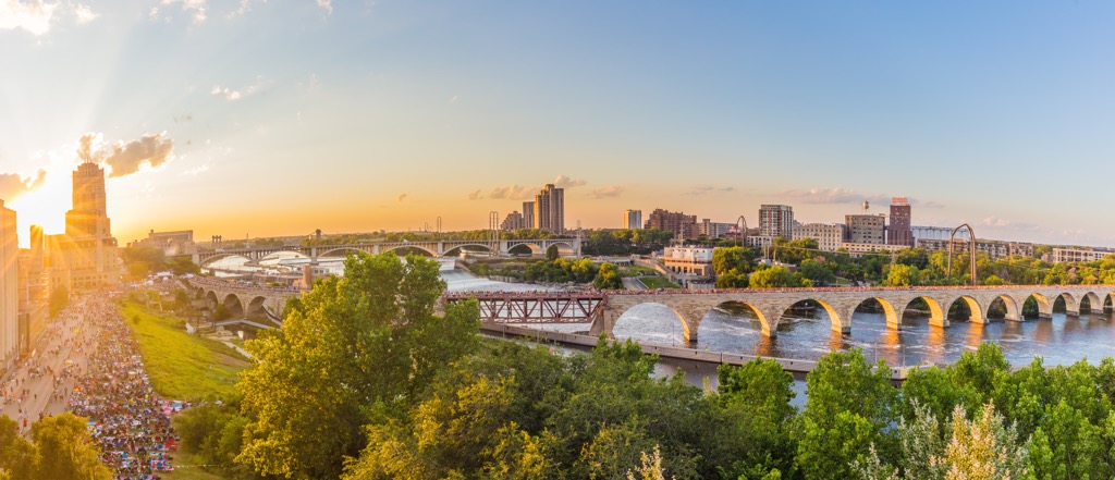
A seven-hour drive from Copper Harbor, Minneapolis, Minnesota, is the closest large city by car. With a population of 425,000, the city has a wide range of cultural offerings, from concert series to museums to professional sporting events. The Chain of Lakes is a nearby attraction with miles of trails for some fresh air.
Minneapolis has a diverse and vibrant dining scene, with flavors ranging from Somali to Caribbean to classic American joints. The city has a wide variety of accommodations to suit all budgets.


The highest peak in Isle Royale National Park is Mount Desor, at 423 m.
Notable peaks in Isle Royale National Park include Mount Desor, Ishpeming Point, Sugar Mountain, Red Oak Ridge and Mount Siskiwit.


