
Scan the QR code and open PeakVisor on your phone
Minnesota is home to 176 named mountains. The highest is Eagle Mountain at 701 m.
Lovingly known as the Land of 10,000 Lakes, the US state of Minnesota is located in the north-central part of the country. Although it's not particularly known for its mountains, Minnesota is home to 176 named highpoints, the highest and most prominent of which is Eagle Mountain (2,297ft/700m).
The state of Minnesota is located in the northern part of the US midwest, which is often called the Upper Midwest. Minnesota is the 12th largest state in the country, with an area of about 87,014 square miles (225,370 sq. km), or about 2.26% of the United States' total area.
It is bordered to the east by Wisconsin and to the south by the state of Iowa. Meanwhile, to the west, Minnesota is bordered by both South Dakota and North Dakota.
Minnesota is located along the border between the United States and Canada. It shares a land border with both Manitoba to the northwest and Ontario to the northeast. By a fun technicality, it also technically has a maritime border with the state of Michigan, whose Upper Peninsula (or U.P.) is located right across Lake Superior.
Interestingly, Minnesota is the northernmost state in the contiguous US (i.e., excluding Alaska). It is actually the only state besides Alaska that is partially located above the 49th parallel. Indeed, there's a very small section of Minnesota known as the Northwest Angle, that's located north of Lake of the Woods, which borders both Ontario and Manitoba.

The state's 87 counties are split up into a number of unofficial regions, which total anywhere between 6 and 10, depending on who you ask. According to the state government of Minnesota, there are 7 regions in the state, includi the northeast, northwest, central, southwest, south central, southeast, and the Twin Cities Metro area.
For the most part, Minnesota is sparsely populated outside of the Twin Cities (Minneapolis-Saint Paul), which is home to about 60% of the state's population.
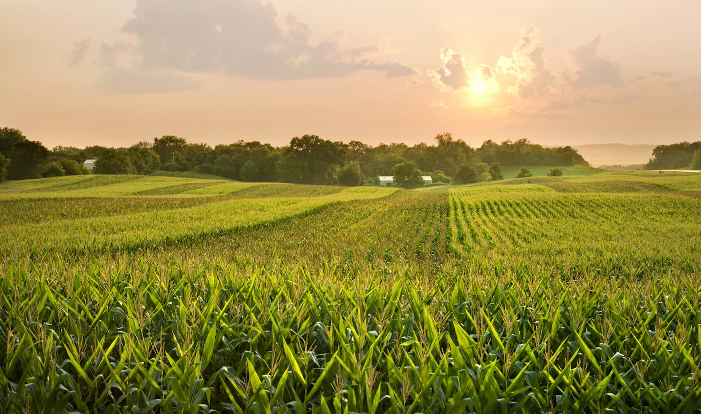
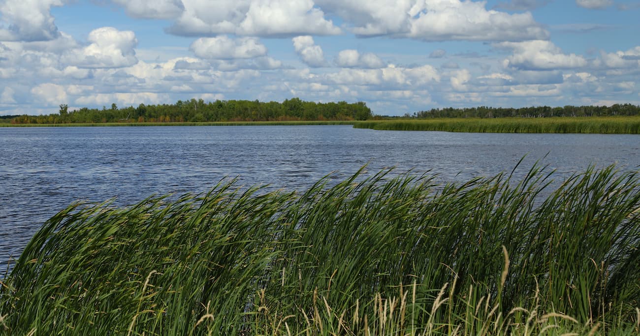
Moreover, much of Minnesota is low-lying, mostly flat terrain which is particularly great for agriculture. That being said, there are some smaller upland areas throughout the state, as well as some world-class outdoor recreation opportunities (particularly if you like watersports).
With that in mind, most of Minnesota's hills are not part of any chain of mountains, with the exception of the Superior Upland to the northeast. The Superior Upland covers a wide swath of land, including parts of northeastern Minnesota, northern Wisconsin, and the Upper Peninsula of Michigan.
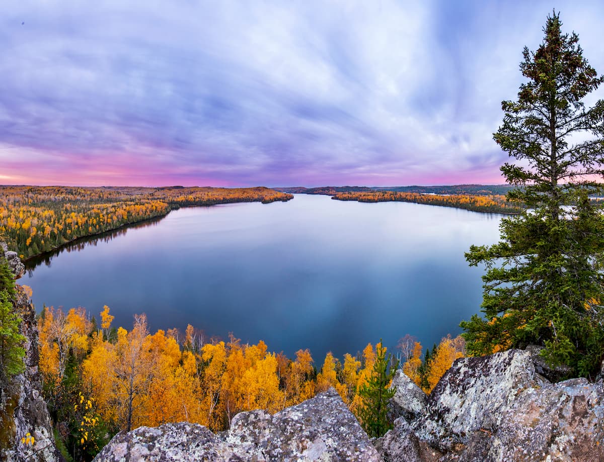
Despite having relatively few highpoints, Minnesota does have plenty of parks and outdoor recreation areas, including Voyageurs National Park, the famous Boundary Waters Canoe Area, Superior National Forest, Grand Portage National Monument, and the Tamarac National Wildlife Refuge.
The state also has a number of forests, such as:
White Earth State Forest
Nemadji State Forest
Solana State Forest
Foothills State Forest
Hill River State Forest
Savanna State Forest
Snake River State Forest
Two Inlets State Forest
Kabetogama State Forest
Pine Island State Forest
Additionally, Minnesota has a great collection of state parks, which include:
Jay Cooke State Park
Banning State Park
Saint Croix State Park
Rice Creek Chain of Lakes Park
George Crosby Manitou State Park
Whitewater State Park
Forestville State Park
Beaver Creek Valley State Park
Lake Louise State Park
Myre-Big Island State Park
Blue Mounds State Park
Lake Shetek State Park
Camden State Park
Sibley State Park
Itasca State Park
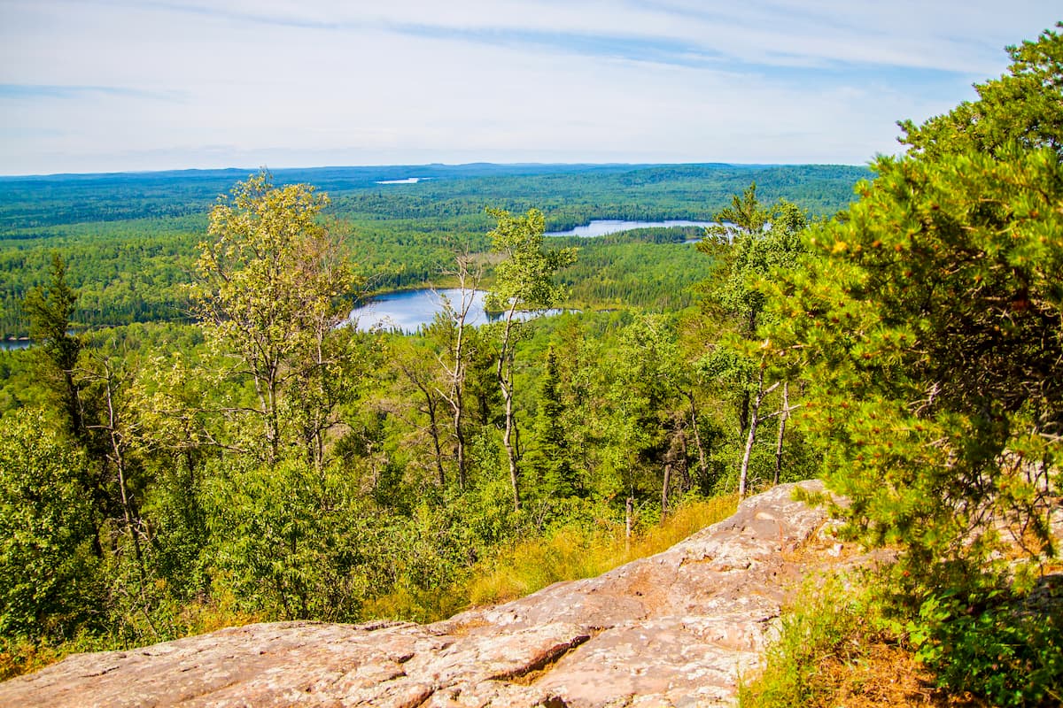
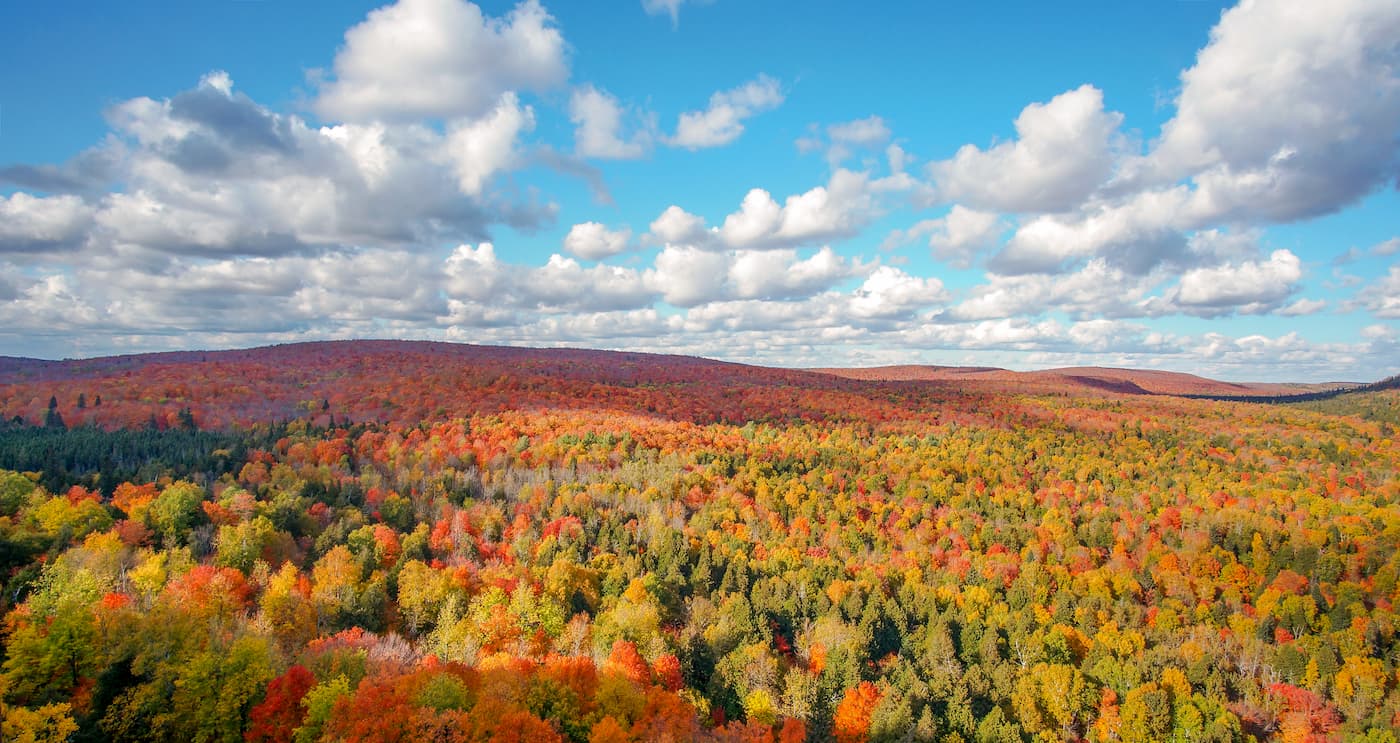
As a whole, Minnesota is not known for its mountainous terrain. Indeed, the majority of the state is relatively flat with rolling hills and rocky outcroppings in the north. That being said, the most topographically rugged sections of the state are located in the northeastern and the southeastern corners.
The bedrock that underlies the majority of the state dates back to the Precambrian and is part of the North American Craton.
Throughout the state, with the exception of the northern region, these rocks are covered by layers of Phanerozoic sedimentary rock and, in some areas, Quaternary debris. For the most part, Minnesota's surface geology includes various shales, sandstones, mudstones, siltstones, and limestones.
However, the northeasternmost portion of the state is home to igneous rocks that are part of the Keweenawan Supergroup from the Middle Proterozoic. This region is also home to the state's portion of the Iron Range, which is an iron ore mining district that's located on the western shores of Lake Superior.
Much of the Quaternary debris that covers the state was the result of the extensive glacial ice that covered Minnesota during the Pleistocene. The Laurentide Ice Sheet was responsible for creating many of the surface features that we see in the state today. This includes large quantities of glacial settlement and kettle lakes.
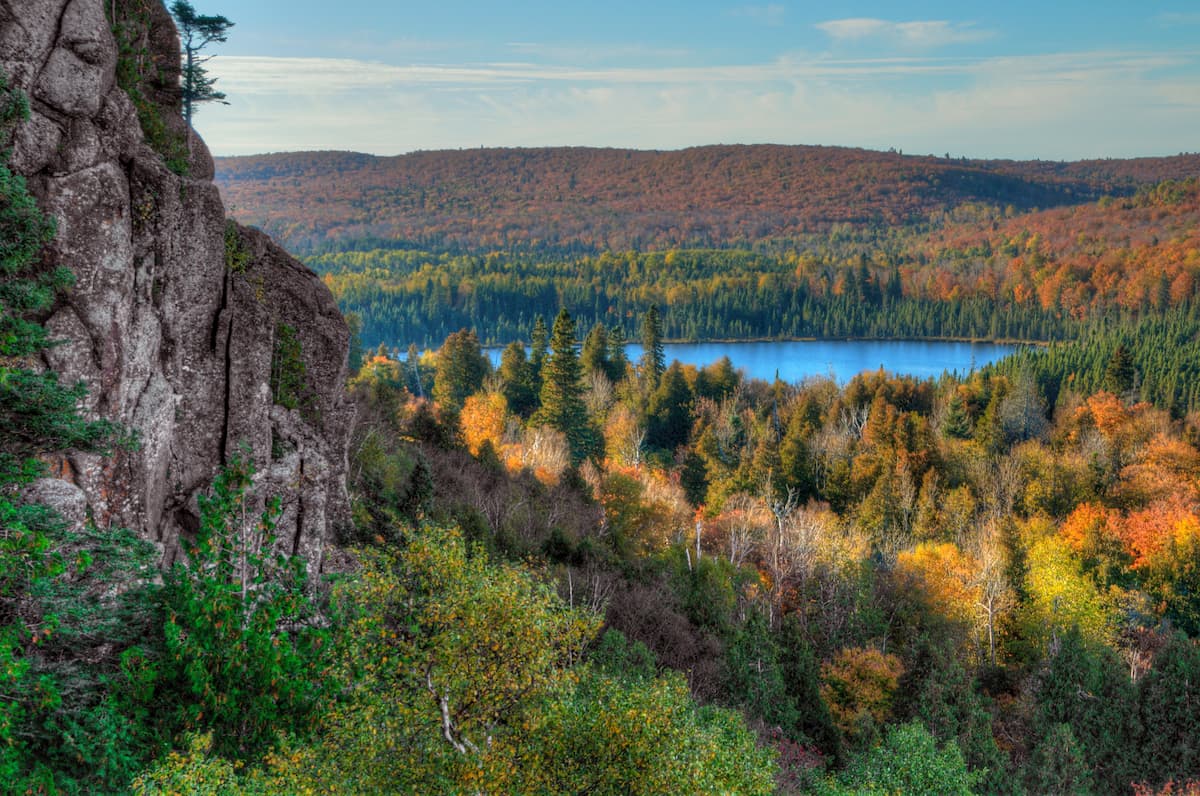
Some of the state's highest points include Eagle Mountain, Lima Mountain, Brule Mountain, Pine Mountain, and Kelso Mountain.
Minnesota is a large state with a wide range of different ecosystems. There are seven Level III ecoregions within the state of Minnesota, as defined by the EPA, including the North Glaciated Plains, the Western Corn Belt Plains, the Lake Agassiz Plain, the Northern Minnesota Wetlands, the Northern Lakes and Forests, and the North Central Hardwood Forests, each with their own unique flora and fauna.
Situated in the southwest of Minnesota, the North Glaciate Plains are generally quite flat, though there are some rolling hills, most of which are the result of deposited glacial till from the last glacial maximum.
This region is predominantly grassy, with various shortgrass and tallgrass prairie. However, there are both temporary and seasonal wetlands throughout the ecoregion, which offer great habitat for waterfowl, both in terms of seasonal migration and nesting. Additionally, this region is home to some very fertile soils, so the area is highly agricultural.
Historically, the Western Corn Belt Plains, which cover the majority of the south-central part of Minnesota, were dominated by tallgrass prairie. However, some 75% of the region is now agricultural, and the areas that aren't used for croplands are frequently used for grazing.
Throughout this region, the landscape is flat or rolling, thanks to the sizable glacial till deposits and loess plains (which, by the way, you can also find in northwestern Iowa).
The Western Corn Belt Plains are aptly named because they have a great mix of precipitation, sunshine, and fertile soils which are exceptionally conducive for the production of soy and corn. Indeed, this region is one of the world's largest soy and corn producers in the United States, though it is also a cause for concern when it comes to groundwater contamination from pesticides, fertilizers, and livestock.
Named after a proglacial lake that once filled the Red River Valley, the Lake Agassiz Plain is located along a thin sliver of the western edge of northern Minnesota, along its border with North Dakota. Interestingly, the thick beds of sediment left behind by Lake Agassiz have created a very flat area that persists to this day.
That being said, much of the tallgrass prairie that once dominated this region has been replaced by large fields of crops, particularly sugar beets, wheat, corn, soy, and potatoes.
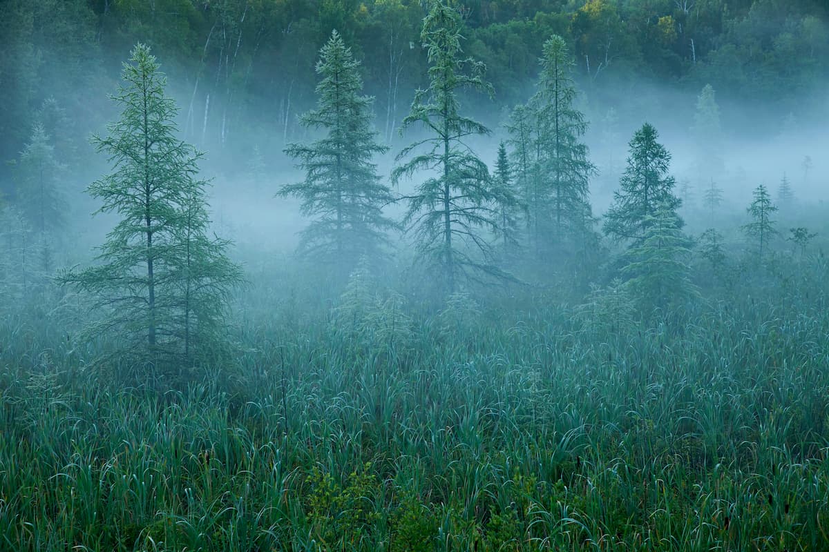
Covering most of northwestern and north central Minnesota, including the Northwest Angle, the Northern Minnesota Wetlands is predominantly a flat, marshy area. Due to the swampy and boreal vegetation that covers the ecoregion, it is fairly sparsely inhabited.
Standing water is prevalent in the area, especially in flat terrain. Interestingly, the flat terrain of the Northern Minnesota Wetlands is the result of past broad glacial lakes that once covered much of the region.
The northeastern part of Minnesota, which is often called the Arrowhead Region, is included within the Northern Lakes and Forests ecoregion. This ecoregion is defined by its poor glacial soils, undulating topography and sandy outwash plains, all of which is evidence of the region's glacial past.
Throughout this area, there are coniferous and northern hardwood forests, which manage to grow in the nutrient-poor glacial soils. There are some sizable lakes in the region, but they tend to be less ecologically productive than those to the south.
Fishing and boating are particularly popular pastimes in this region, as much of it, particularly in the north, is only accessible by boat, ski, or snowmobile.
Located throughout the central part of Minnesota is the North Central Hardwood Forests. Here, the landscape serves as a transitional ecoregion between the agricultural areas to the south and the forests and wetlands of the north. As a result, there is a mosaic of different land uses here, with some regions protected as forests, lakes, and wetlands, and others used for agriculture.
Finally, we have the Driftless Area in the southeastern corner of the state of Minnesota. While this may sound a bit like a region that's in the midst of an existential crisis, it's actually just one of the few areas in the midwest that wasn't bulldozed by glaciers during the last glacial maximum.
It is surprisingly hilly, with karst formations and deeply carved river valleys. There are plenty of forests, waterfalls, and even trout streams, all of which are much more reminiscent of New England and the northern Great Lakes than the surrounding Midwestern plains. However, there are still some areas of tallgrass prairie and savanna, though there were sizable stands of sugar maple, basswood, and oak forests before European settlement.

Like much of midwestern North America, the area that would later become the state of Minnesota has been continuously inhabited for thousands of years. Indeed, countless groups have called the region home over the millenia, including the Sioux, Wahpeton, Wahpekute, Yankton-Yanktonai, Mdewakanton, Anishinabewaki, Sisseton, Métis, and Ojibwe, as well as their descendents.
Some of the earliest non-Indigenous peoples to visit in the region were French fur traders and trappers. Perhaps the first were Pierre Esprit Radisson and Médard des Groseilliers, who may have visited what would later become Minnesota during their travels down the shore of Lake Superior in the 17th century. This eventually led to a number of treaties between the French and the first peoples in the region to allow for trade and hunting.
Eventually, the region came under the purview of the young United States government in the mid-1800s, however the British had previously laid claim to the northwestern portion of the state, which was inhabited by the Métis people.
Interestingly, Minnesota's Fort Snelling (the first major US military location within the state) plaid a major role in the now-infamous Dred Scott v Sanford in 1857 as Dred Scott and his family were taken to the fort as enslaved peoples even though slavery was porhibited in the region.
The establishment of Fort Snelling eventually paved the way for the creation of the cities of Minneapolis and Saint Paul, as well as the greater Twin Cities region. Although fur trapping and trading were the major economies in the region during the early period of French influence, the region's economy eventually shifted toward logging, mining, and agriculture, all of which continue in some form to this day.
That being said, outside of the Twin Cities, Minnesota remains relatively sparsely populated. With a total population of about 5.6 million, some 4 million of which live within the Twin Cities Combined Census Area, the vast majority of Minnesotans live very close to the state's capital.
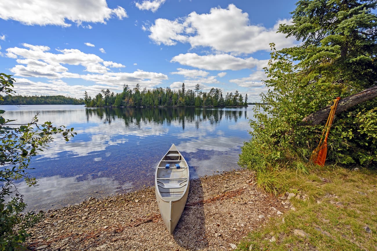
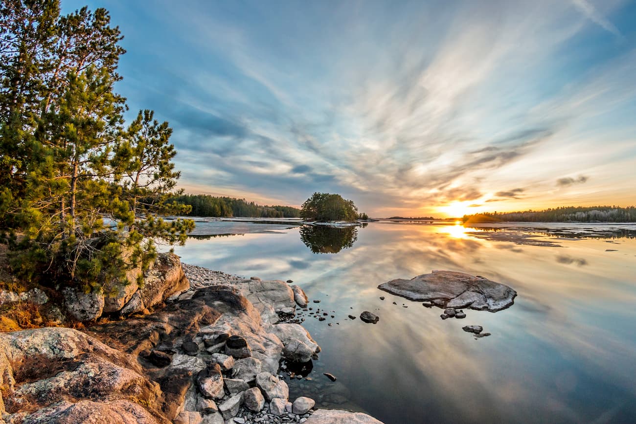
In the north, Minnesota is home to some truly fantastic outdoor recreation destinations, though the most popular activities are canoeing, boating, and fishing, rather than mountaineering or climbing, due to the region's abundance of lakes.
Minnesota's most popular outdoor recreation areas are better known for their watersports opportunities, however, there is one particularly notable hiking trail in the state: the Superior Hiking Trail.
The Superior Hiking Trail is 310 miles (500km) long, and it traverses the shortest of Lake Superior from Minnesota's border with Wisconsin near Jay Cooke State Park all the way to the 270 Degree Overlook near the Canadian border.
It is a popular trail both for thru-hiking and section-hiking, particularly during the summer months. The trail is also now a section of the North Country National Scenic Trail, which is approximately 4,600 miles (7,400km) long and connects North Dakota to Vermont.
Besides the Superior Hiking Trail, Minnesota also has a great network of state parks and forests. In addition to these parks, the state is home to the Superior National Forest and Voyageurs National Park.
Voyageurs National Park is located along the US/Canada border near the town of International Falls. It is exceptionally popular for watersports, such as canoeing and kayaking, and for fishing. There are also 50 miles of hiking trails within the park to check out.
To the east of Voyageurs National Park and to the south of Canada's Quetico Provincial Park and La Verendrye Provincial Park is the Superior National Forest. Superior National Forest is perhaps best known for its Boundary Waters Canoe Area Wilderness which is, as the name suggests, very popular for canoeing.
Within the wilderness, there are hundreds of thousands of acres of old growth forest, fantastic wildlife spotting opportunities, and plenty of chances for a good adventure. There are thousands of backcountry campsites in the wilderness, though permits are required for all overnight stays in the Boundary Waters.
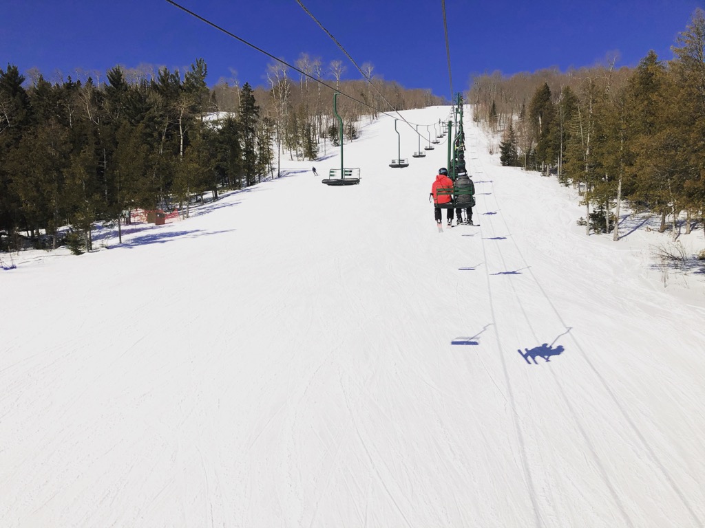
For skiing and snowboarding enthusiasts, there are more than 15 ski resorts in Minnesota.
The largest ski resort is Lutsen Mountains Ski Resort with more than 30 km 62 (mi) of ski slopes and 7 ski lifts. Other areas for skiing in Minnesota include Buck Hill, Mount Kato Ski Area, Wild Mountain, and others. The main ski resort near Minneapolis is Afton Alps.
Check the Minnesota ski resorts map and the larger USA ski resorts map in the World Mountain Lifts section of the site. It includes information about open ski lifts / slopes in Minnesota in real-time with opening dates and hours. There are also year-round cable cars, funiculars, cog railways, aerial tramways, and all other types of mountain lifts.
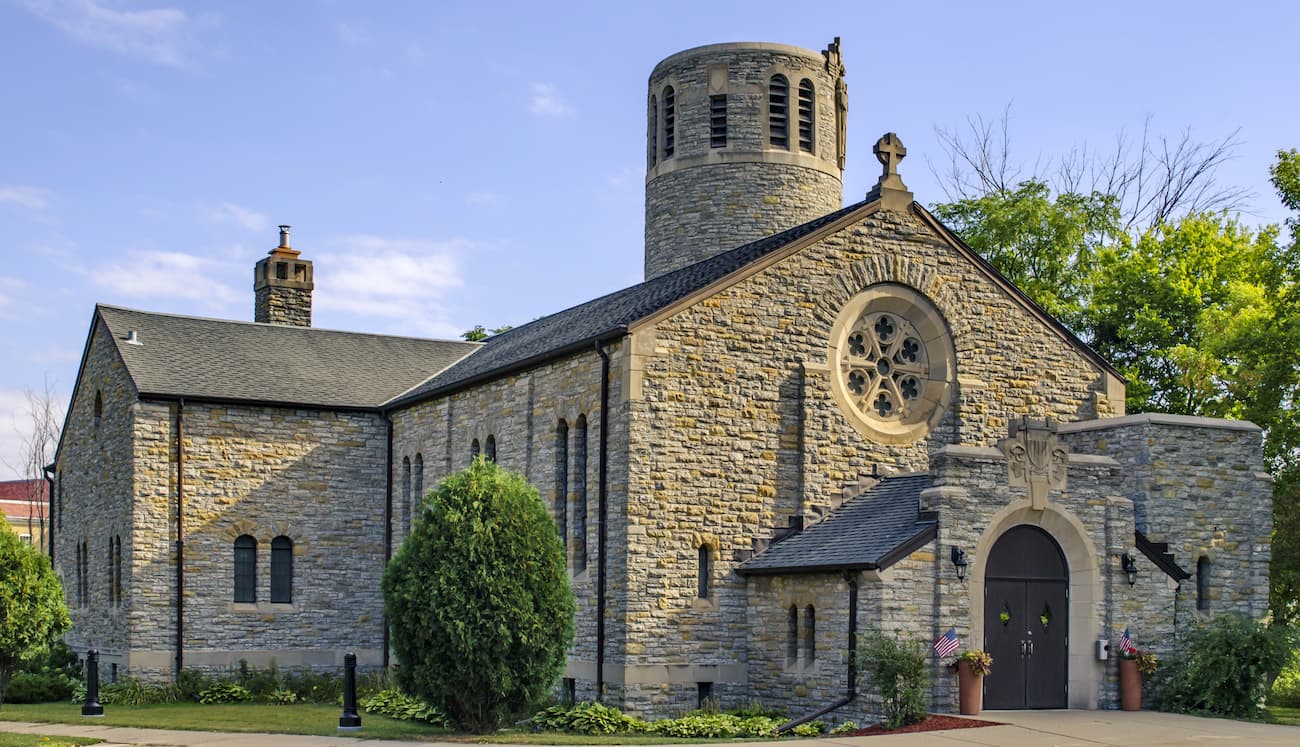
Here are some of the best places to stay if you're headed to Minnesota:
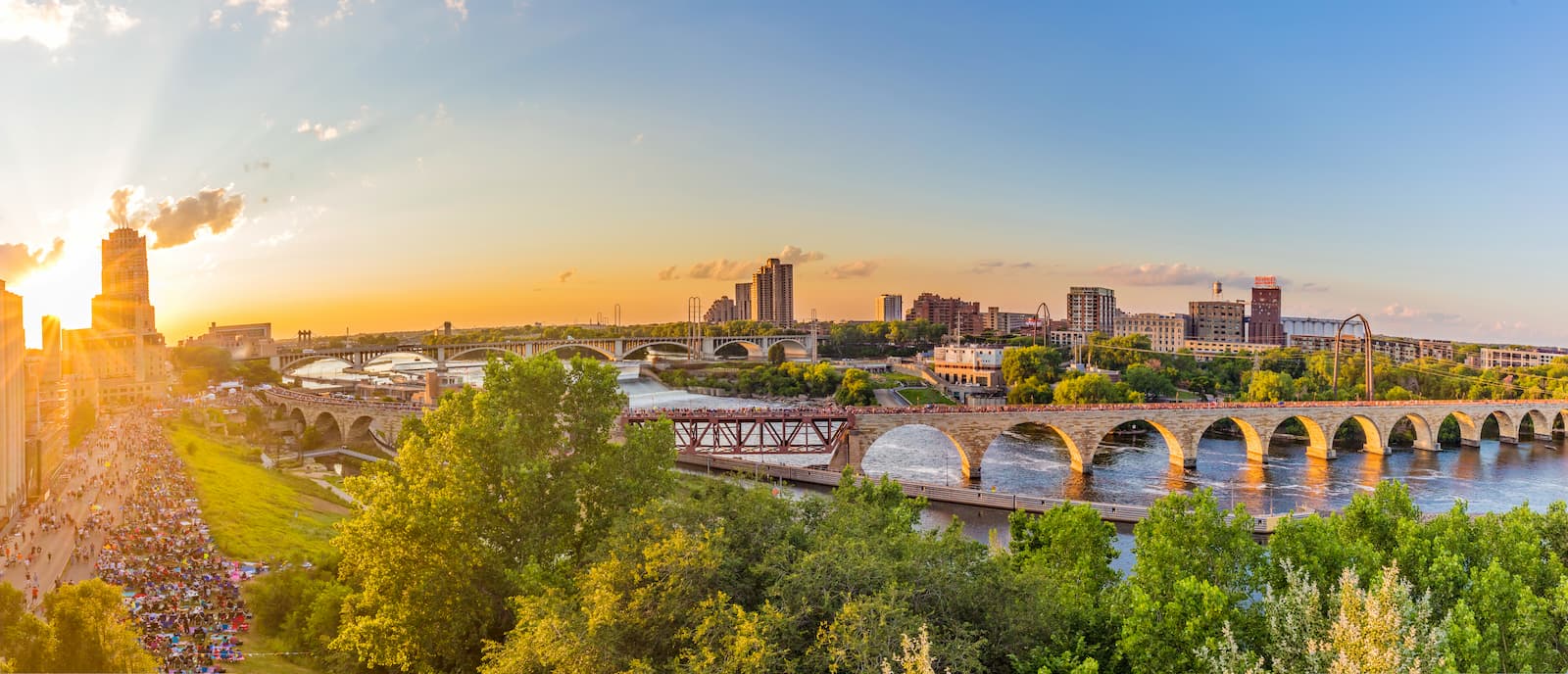
The Twin Cities of Minneapolis and Saint Paul are by and large the most populated region of Minnesota. Some 4 million of the state's 5.6 million residents live in the cities' metro region, which is located along the confluence of the Mississippi, St. Croix, and Minnesota Rivers.
The cities are fairly easy to get to by road or air. Indeed, the Minneapolis-Saint Paul International Airport is a Delta Airlines and Sun Country Airlines hub, offering flights to major cities around the world.
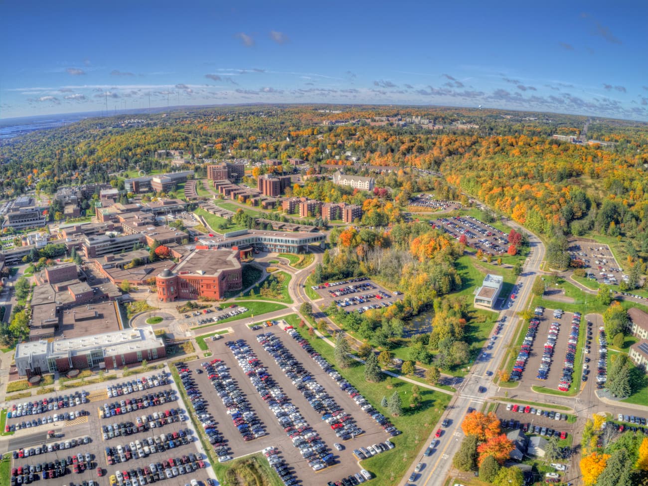
Duluth is located in the northeastern region of Minnesota and is home to about 85,000 residents. The city is located next to Superior, Wisconsin and is a major port along Lake Superior. Interestingly, it is also the location of the furthest inland navigable port in the world, as it is accessible via the Saint Lawrence Seaway.
Duluth hosts an annual sled dog race, which is seen as a training opportunity for Alaska's annual Iditarod Trail Sled Dog Race. It is also home to the second largest ski hill in the state, Spirit Mountain.
The city is accessible, of course, by boat, and it is also the northern terminus of I-35, which originates in Texas. Duluth also has an international airport that offers regular connections to Chicago and Minneapolis.
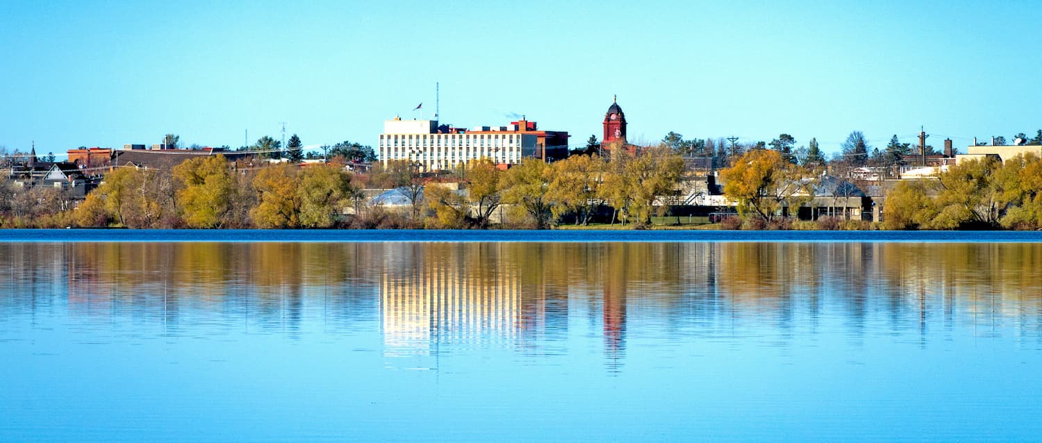
While Bemidji isn't among the largest cities in Minnesota, it is well positioned for anyone looking to visit the state's more northerly regions. Bemidji is located in north-central Minnesota and is home to approximately 15,000 people. This makes it one of the largest commercial centers between North Dakota and Duluth.
Bemidji is also very close to the White Earth Indian Reservation, the Leech Lake Indian Reservation, and the Red Lake Indian Reservation. Residents of the city also claim that it is the birthplace of Paul Bunyan.
The city is accessible by road and by the Bemidji Airport. There are regular flights from the city to Minneapolis/Saint Paul.


Yes. Minnesota has 176 named mountains. The highest is Eagle Mountain at 701 m.
The highest mountain in Minnesota is Eagle Mountain, at 701 m.
Minnesota has 176 named mountains.


