
Scan the QR code and open PeakVisor on your phone
Famous for its bluegrass music, magnolias, and southern charm, the state of Mississippi is located in the Deep South region of the United States. It contains 231 named mountains, the highest of which is Woodall Mountain (804ft/245m) and the most prominent of which is Lebanon Mountain (791ft/241m).
The state of Mississippi is located in the southeastern United States, in a region known as the Deep South. It shares a border with 4 other states - Louisiana, Arkansas, Tennessee, and Alabama - and it has a small amount of coastline along the Gulf of Mexico.
With a total area of 48,430 square miles (125,443 sq. km) and a water area of 1,521 square miles (3,940 sq. km), the state of Mississippi is the 32nd largest state in the country by area. Mississippi is also the 34th most populous state and the 32nd most densely populated.
However, it is generally ranked quiet poorly in terms of median household income. Mississippi generally trails closely behind its neighboring states of Louisiana and Arkansas in terms of median household income, though it competes with West Virginia for the bottom spot in the annual median household income rankings.
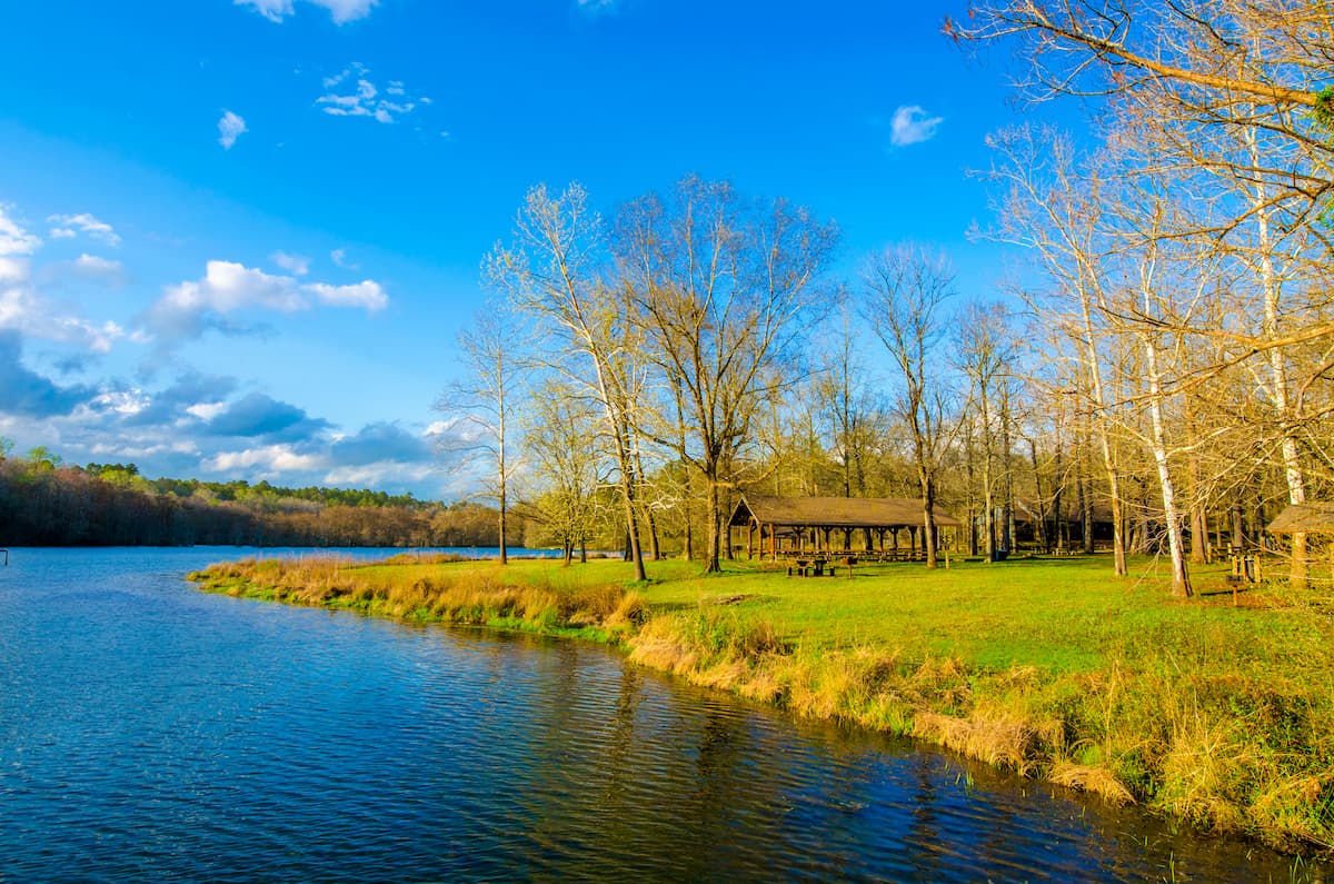
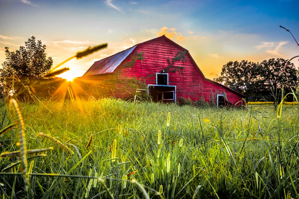
The geography of the state of Mississippi can be characterized in a number of different ways based on cultural, political, geological, and historical boundaries. That being said, perhaps one of the best ways to characterize the state is by cultural region. There are 6 primary cultural regions within the state: the Delta, the Piney Woods, the Red Clay Hills, the Appalachian Foothills, the Black Prairie, and the Gulf Coast.
Nestled in the northernmost part of Mississippi, the Appalachian Foothills region is, indeed, home to some of the Appalachian Mountains. This area is dominated by a series of plateaus, which are part of the Cumberland Plateau of the Appalachian Plateaus physiographic region.
Culturally, this part of Mississippi has more in common with the central part of Tennessee and the states to the north than to other parts of the Deep South. Due to the region’s poor soils, agriculture is limited, though it has a fairly strong industrial economy.
Perhaps the most famous person from the Appalachian Foothills is the singer Elvis Presely, who was born in the city of Tupelo in Lee County in 1935.
In the Appalachian Foothills, you can find a few smaller parks, including:
The Black Prairie region surrounds the Appalachian Foothills on all sides and it includes the city of Columbus. Similar to the Black Belt Region of Alabama, the name “Black Prairie” is a reference to the region’s darkly colored soils.
These fertile soils helped to support the region’s very strong cotton industry in the Antebellum years as well as the establishment of many large slave-owning plantations. However, these days, cattle and soybeans are more commonly grown in the region.
Like the rest of Mississippi outside the Appalachian Foothills, the Black Prairie isn’t exactly known for its mountains. Though, it doesn have quite a few high points that are part of the Piedmont-Southeast Coast system. Moreover, it includes part of the Tombigbee National Forest.
Covering much of north-central Mississippi, the aptly named Red Clay Hills region is home to reddish-colored clay soils. Unlike the fertile Black Prairie to the east, the soils of the Red Clay Hills are not very conducive to agriculture, so plantations were few and far between in this region.
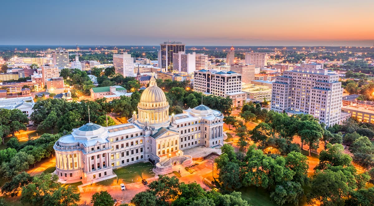
That being said, cattle and livestock raising, logging, and manufacturing are all big industries in this region. This part of the state extends as far south as the cities of Meridian and Jackson, the latter of which is the capital and largest city in Mississippi.
There are a handful of major public parks and forests in the Red Clay Hills, including:
Situated to the south of the Red Clay Hills, the Piney Woods Region includes nearly all of southern Mississippi except the very low-lying coastal area, which is part of the Gulf Coast Region. It is roughly bounded by I-10 to the south and I-20 to the north.
Major cities in this region include Hattiesburg and Natchez, though, like most of the state, there are some scattered hills which are part of the Piedmont-Southeast Coast. The Piney Woods have sandy soils which aren’t great for farming, so the region’s economy is more heavily dependent on timber and manufacturing.
The Piney Woods contain 2 of Mississippi’s national forests: Homochitto National Forest and De Soto National Forest.
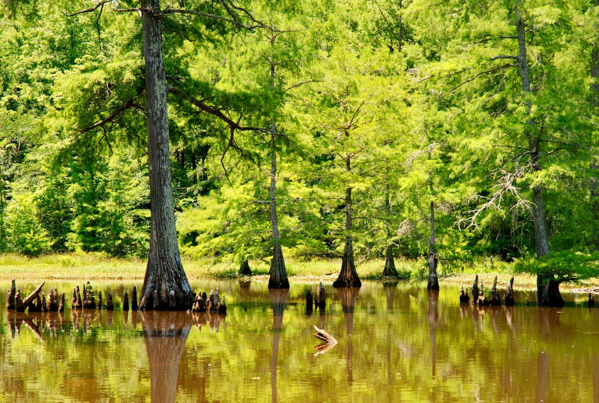
Although it’s not a real delta, which is a sediment-filled wetland that forms near the mouth of a river, the Delta Region of Mississippi is located along the alluvial plain of the Mississippi River in the western part of the state. Thanks to the river’s propensity for flooding, the soils around the Delta are very nutrient rich, which helped to support the region’s cotton plantations before and after the Civil War.
Grenville and Vicksburg are both major cities within the region and the city of Memphis is located just to the north in Tennessee. Popular recreation and natural areas in the Delta Region include:
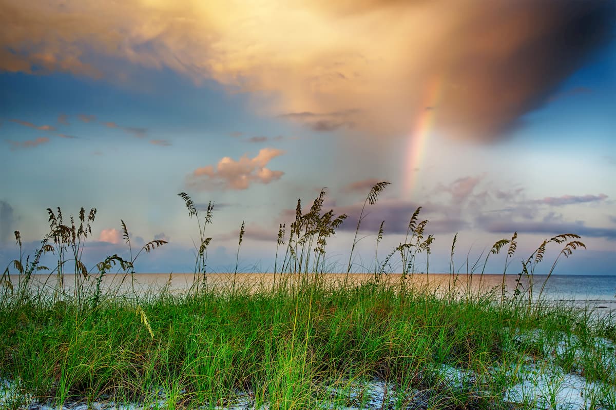
As the name suggests, the Gulf Coast Region of Mississippi is located along the state’s Gulf Coast. Like its neighboring Alabama, the state of Mississippi actually has very little coastline - just 44 miles (70.8km) - despite being located along the Gulf Coast. Therefore, Mississippi has the shortest coastline of any state located along the Gulf of Mexico.
However, the Gulf Coast was the first part of Mississippi that was visited by Europeans, who arrived in the late 17th century (though, of course, Indigenous peoples had long lived in the region before European colonization).
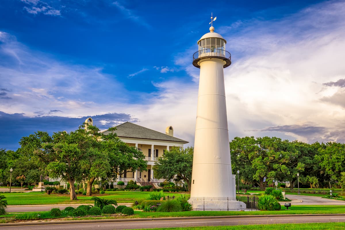
The major city within the Gulf Coast is Biloxi, which is named after the Biloxi peoples, who are part of the Tunica-Biloxi Tribe. Here, the major industries are fishing, shipbuilding, and trade, thanks to its proximity to the mouth of the Mississippi River (in nearby New Orleans).
There are quite a few protected areas and parks within the Gulf Coast, thanks to the region’s fantastic ecological diversity. This includes:
Although most of Mississippi is low-lying terrain, there are some small hills scattered around the state, as well as some Appalachian Mountains summits in the state’s northeastern corner.
That being said, the vast majority of the state is part of the massive Gulf Coastal Plain, which covers a substantial part of Florida, Georgia, Alabama, Louisiana, coastal Texas, and the states of Tamaulipas, Veracruz, Tabasco, and Yucatán in Mexico.
For the most part, the state has some ancient igneous and metamorphic basement rocks that date back to the Precambrian, but these are particularly far below the surface. Above these basement rocks are layers of sedimentary rocks that date back to the Paleozoic, including various limestones and shales.
Above these layers of sedimentary rock lie thousands of feet of unconsolidated sediment, particularly around the Delta region of the state.
Natural resources in the state include oil and natural gas, most of which is drilled for in the southern part of the state. Mississippi also has a handful of refineries, which process the state’s oil production.
Major high points in the state include Woodall Mountain, Lebanon Mountain, Tippah Hills, Wicker Mountain, Bonds Mountain, and Kitchen Mountain.
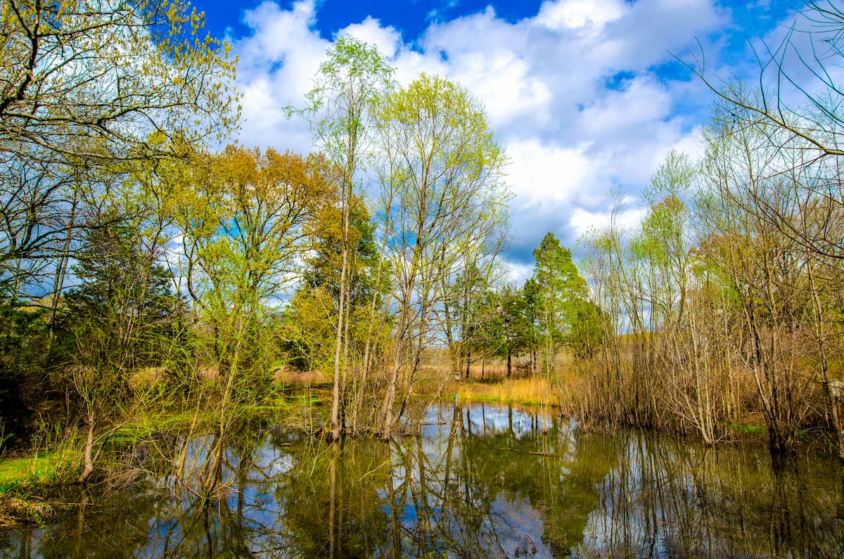
The state of Mississippi is home to 3 major ecoregions, each of which has its own unique mix of flora and fauna. These include the Southeastern Mixed Forests (Southeastern Plain), the Mississippi Valley Loess Plains, and the Mississippi Alluvial Plain.
Covering much of eastern Mississippi, the Southeastern Mixed Forests (a.k.a. the Southeastern Plain) ecoregion contains some fantastically biodiverse freshwater ecosystems which are home to an abundance of gastropods.
This region is naturally forested, with stands of oak, hickory, and pine. However, European settlement of this area led to substantial deforestation in an attempt to start farming in the area. With that in mind, by the mid-1900s, much of the region’s farms were abandoned, so small portions of the forests have regrown. The Bienville National Forest is perhaps the best example of this ecoregion in Mississippi.
Located directly east of the Mississippi River and its floodplain, the Mississippi Valley Loess Plain is a long, thin ecoregion that starts in southwestern Kentucky and terminates in eastern Louisiana.
Before European settlement, the region was home to southern mixed forests of hickory, oak, shortleaf pine, and loblolly pine. But, agriculture is particularly dominant in this region, so the remaining forest is highly fragmented.
The Mississippi Alluvial Plain includes the land just west of the Mississippi Loess Valley along the floodplain of the Mississippi River. Within the state of Mississippi, this ecoregion is exclusively found in the Delta Region.
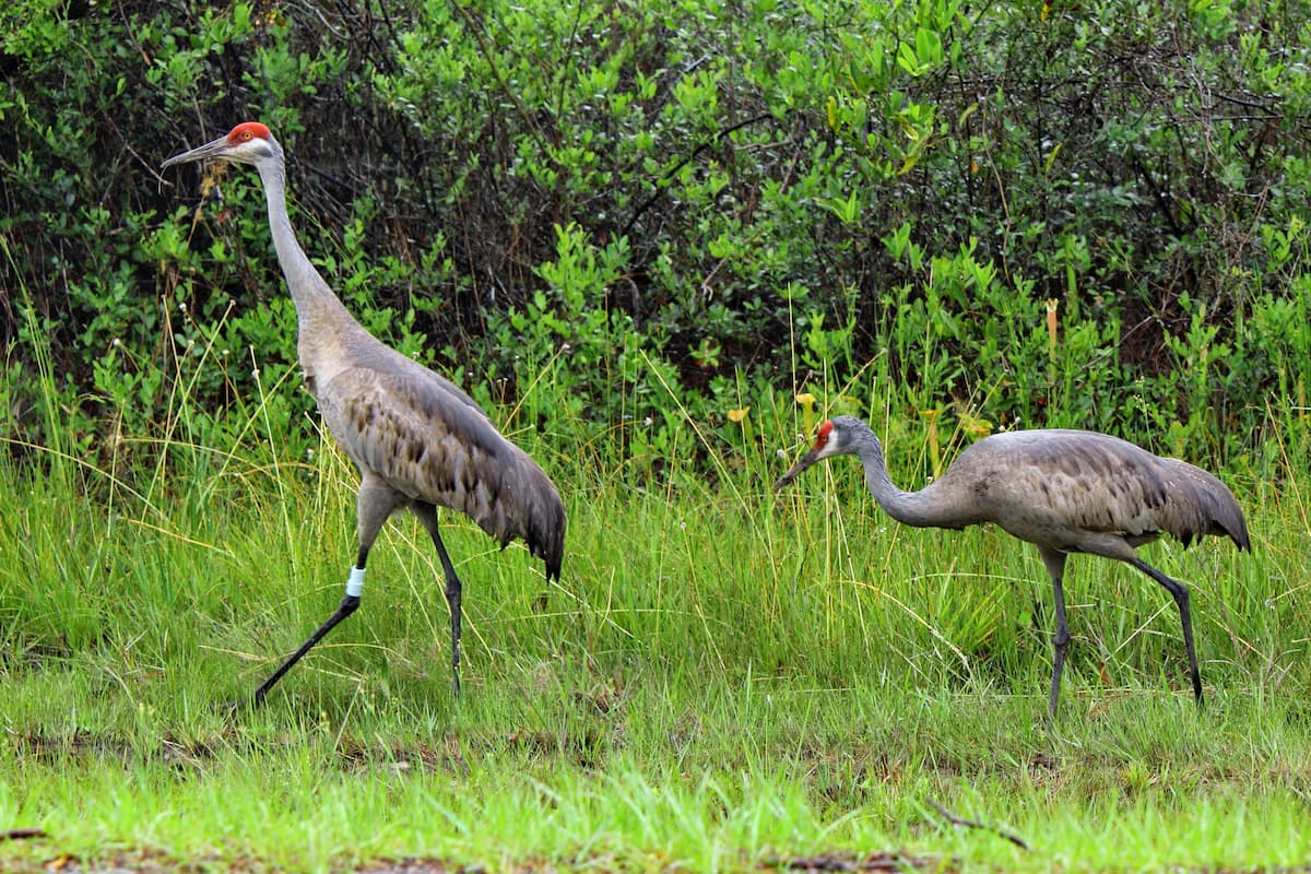
Interestingly, this ecoregion is home to the largest continuous wetland system in the continental United States and it is an incredibly important source of biodiversity. Naturally, this ecoregion includes a variety of different ecosystems, including swamps and marshes, but much of it has since been drained for agriculture or is currently threatened by agricultural run-off.
The natural vegetation cover throughout much of his region is oak, hickory, and pine forests, though it is now mostly used for cotton, rice, and soybean production.
The state of Mississippi has long been home to humans and it is considered the ancestral homelands of many Indigenous peoples. Among the most dominant tribes and nations in the region at the time of European contact include the ancestors of the Mississippi Band of Choctaw Indians, the Quapaw Tribe, the Chickasaw Nation, the Tunica-Biloxi Tribe, and the Eastern Band of Cherokee Indians, among others.
Among the first Europeans to visit the region was likely Hernando de Soto of Spain who traveled throughout what is now the southeastern US in the 1540s. Early European settlement in modern-day Mississippi was mostly French as the region was included within the colony of New France.
One of the first European forts in the state was Fort Maurepas, which was built at the end of the 17th century under the orders of Pierre Le Moyne d’Iberville. Some years later in 1716, the French established another Fort at modern-day Natchez, which later became an important trading post. Like other parts of coastal new France, the southern part of Mississippi became important within the Trans-Atlantic Slave Trade.
After the Seven Years’ War, Mississippi became part of Spain, though it later traded hands and became a British Colony before being ceded to the United States after the American Revolutionary War.
Mississippi gained its statehood in 1817, but by that time, it had already become a popular destination for farmers and settlers who were attracted by the highly fertile land of the Delta. The population of the region grew dramatically and slavery was a major part of the region’s economy.
After the invention of the cotton gin, plantations grew drastically in size and slavery became even more important to kepe up with increasing demand for cotton. This also led to widespread violence between settlers and the Indigenous peoples of the region as settlers pushed the region’s major tribes off of their land, both before and after the Indian Removal Act of 1830.
Mississippi was one of the first states to secede from the Union and join the Confederacy during the Civil War. The state itself became an important battleground during the war due to the strategic importance of controlling the Mississippi River.
The Reconstruction years were a tumultuous time in Mississippi as the state tried to rebuild after the war. While many freedmen were able to start their own farms in the more rural parts of the state, Mississippi had a longstanding history of Jim Crow segregation and descrimination in the post-war years. Activists in Mississippi were also responsible for some of the major events of the Civil Rights Movement in the mid-20th century.
One of the biggest cultural movements to come out of Mississippi in the early 20th century was music. Indeed, the development of jazz, blues, gospel, and rock and roll music is indebted to musicians who lived and worked in the state.
In more recent years, Mississippi’s economy has diversified quite a bit and it now relies on major industries, like entertainment, tourism, manufacturing, gambling, agriculture, and seafood production.
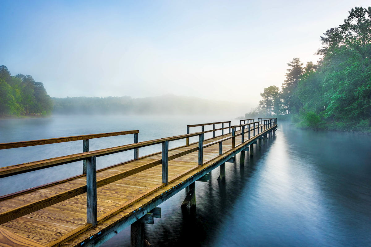
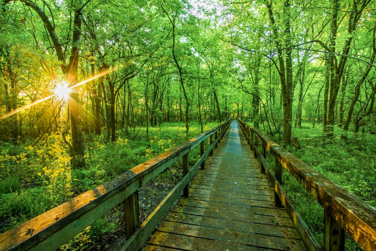
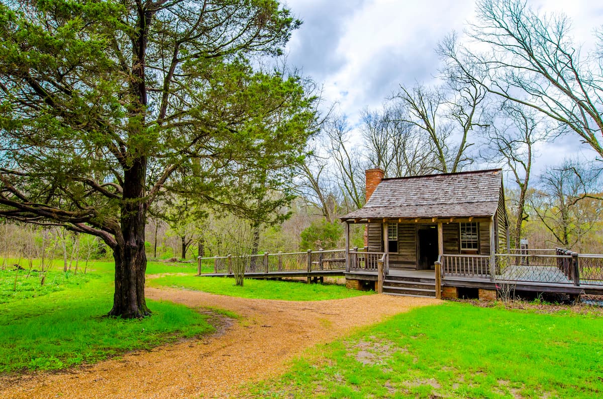
While Mississippi isn’t the most mountainous state in the US, it is home to some great outdoor recreation areas. Here are some of the best places to check out in the state.
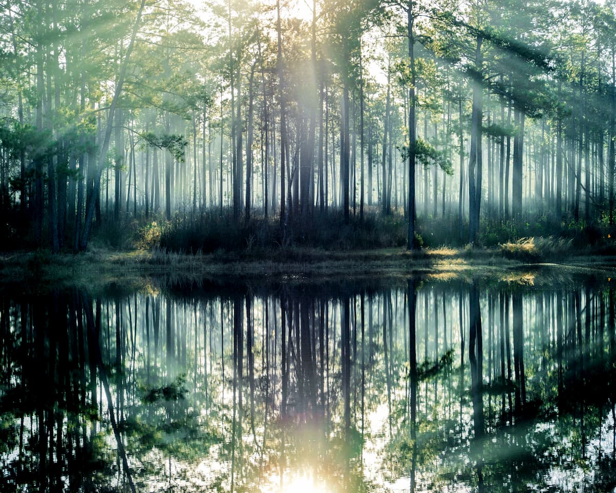
Holly Springs National Forest is located in the northeastern part of the state near Tupelo. The forest contains 11 named mountains, the highest of which is Lindsey Mountain and the most prominent of which is Rook Hill.
It includes about 155,600 acres (629 sq. km) of land and is home to some fantastic loblolly and shortleaf pine forests. The forest is known for its beautiful hardwood swamps and great recreation opportunities, and it has a handful of popular trails, including the Chewalla Lake Trail and the Baker’s Pond Trail.
Situated in central Mississippi, the Bienville National Forest contains about 178,000 acres (720 sq. km) of land, most of which is forests of oak and pine. Bienville National Forest contains 7 named mountains, the highest and most prominent of which is Sherman Hill.
The forest is home to the Leaf and Strong Rivers, both of which offer great fishing and boating opportunities. In fact, there’s also a national recreation horse trail, the Shockalo Horse Trail, which offers great trail riding inside the forest.
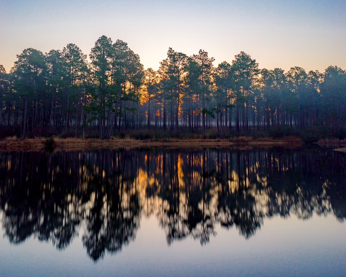
De Soto National Forest is located in southern Mississippi and it is an important refuge for flora and fauna in the state. It contains 7 named mountains, the highest of which is Deadman Hill, and the most prominent of which is Taylor Hill.
The forest contains longleaf pine savannas, which support some rare wildlife species, including some cool carnivorous plants, such pitcher plants. De Soto is a popular destination for canoeing, hiking, camping, fishing, and birdwatching. The Black Creek Trail and the Tuxachanie Trail are both great hiking options to check out.
The Delta National Forest is a protected area in the Delta Region of Mississippi. It contains one of the few hardwood forests that remain in the Mississippi Delta Region and it is home to the country’s only bottomland hardwood national forest.
Delta is a great refuge for wildlife, particularly migratory waterfowl who pass through the region each year. There are plenty of hiking and camping areas for visitors to check out, too.
Need a place to stay during your trip to Mississippi? Here are some of the best cities to visit in the state.
Jackson is located in south-central Mississippi along the Pearl River. It is the capital and largest city in the state with over 160,000 residents. Jackson is a major commercial hub for the region and it is home to the busiest airport in the state.
Biloxi is a city in the Gulf Coast Region of Mississippi. It was once the third largest city in the state, but in the aftermath of Hurricane Katrina its population dropped quite a bit. These days, it is a popular tourist attraction, in part because of its booming casino industry. The city also has an international airport and it is located along I-10.
The city of Tupelo is situated in the northeastern corner of Mississippi. Although it has just 38,000 residents, it is one of the largest cities in the state and it is a cultural hub of the region. Tupelo is best known as the birthplace of Elvis Presley and it continues to have a bustling arts scene.


