Scan the QR code and open PeakVisor on your phone
Holly Springs National Forest is an area of federally managed land located in the US state of Mississippi. Once depleted farmland, the terrain now marks a thriving network of forests and wetlands. It contains 11 named mountains with the tallest being Lindsey Mountain at 702 feet (214 m) tall and the most prominent being Rook Hill with 118 feet (36 m) of prominence.
Holly Springs National Forest is situated in the north central region of Mississippi, near the state's border with Tennessee. It covers 155,661 acres (62,994 ha) of land across the northern portion of the state.
The national forests in Mississippi are often collectively referred to as “National Forests in Mississippi”. Holly Springs National Forest is divided into two major sections; the larger section is located just outside the city of Holly Springs while the second much smaller section is situated 40 miles (64 km) southwest.
These two portions of the forest cover terrain in Benton, Lafayette, Marshall, Yalobusha, Tippah, and Union counties. This national forest comprises several small parcels of land, interspersed with sections of privately owned properties.
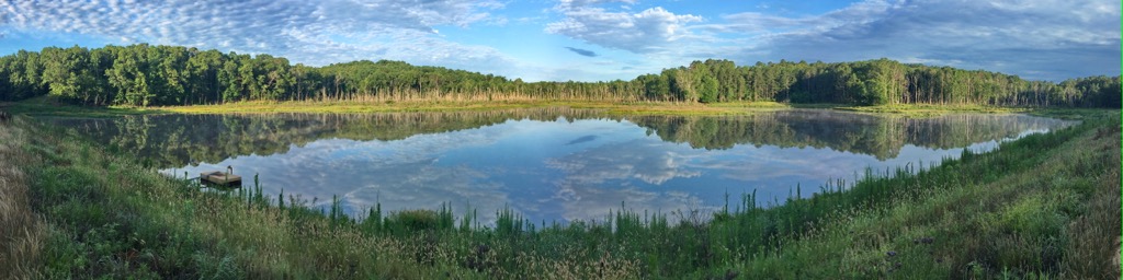
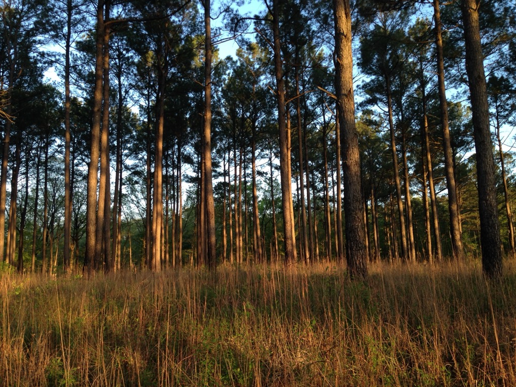
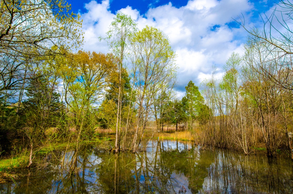
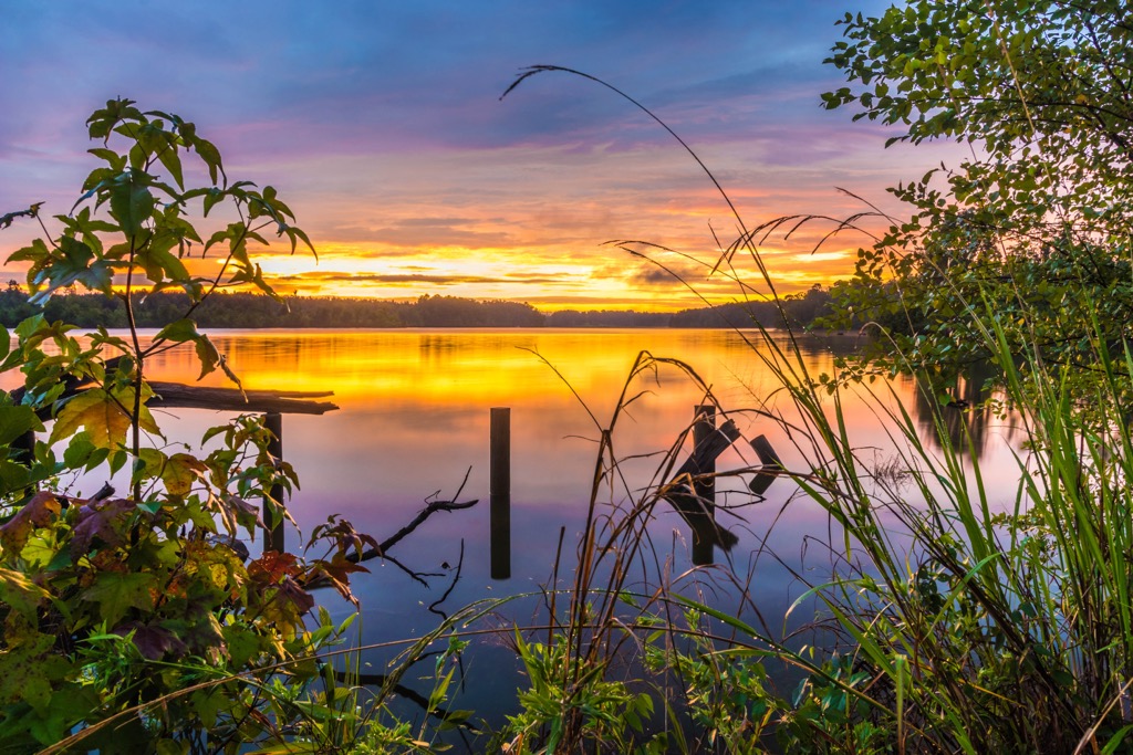
The relatively flat terrain is marked by forested patches and wetlands. Numerous creeks, streams, and ponds can be found amidst the national forest. Baker’s Pond is situated in the northwestern tip of the national forest, marking the main source of the Wolf River, which leads into the Mississippi River. Sardis Lake lies southwest of the forest while the Hatchie River is to the northwest.
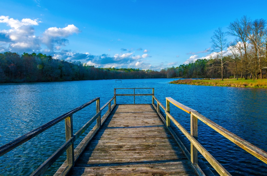
Recreation areas within Holly Springs National Forest include Chewalla Lake, Baker’s Pond, Puskus Lake, and Lake Tillatoba. Hiking trails, campgrounds, and picnic areas can be found throughout much of the forest.
Additionally, Holly Springs National Forest is surrounded by a few other areas for outdoor recreation. Tombigbee National Forest is to the south while both the Lower Hatchie National Wildlife Refuge and the West Tennessee National Wildlife Refuge Complex are located to the northwest. To the east lies J. P. Coleman State Park and Lauderdale Wildlife Management Area.
The geological history of the present-state of Mississippi is not marked by any major mountain ranges.
Both igneous and metamorphic crystalline basement rocks can be found deep beneath the national forest and the rest of northern Mississippi. During the Paleozoic period, this terrain lay at the base of a shallow marine area in the Black Warrior Basin.
The basin slowly filled with a mixture of limestone, shale, and other marine sediments. Roughly 330 million years ago the sea slowly retreated with the formation of the supercontinent Pagena.
Rifting began to occur leading to igneous sills within the shale of the region. Today the Mississippi Interior Salt Basin is found under much of the state. The Mississippi Embayment was covered with a vast network of rivers and streams during the Cenozoic. These waterways deposited sediments throughout the region, reaching up to 45,000 feet (13,716 m) thick in some sections.
Discovery of gas fields during the twentieth century set the stage for the region to become a major producer of oil and gas. There are no prominent mineral deposits in the area.
Some of the most prominent named peaks in the national forest include Rook Hill, Lindsey Mountain, Clemmer Hill, and Suttles Rocks.
The section of terrain was not always the lush ecosystems it is today. Before becoming a national forest this region was abandoned agricultural land.
Today the forested sections feature populations of loblolly pine and shortleaf pine. Sections of upland hardwoods are also common. The loblolly pine was planted in hopes of restoring the region due to the species’ ability to thrive in poor soil conditions.
A variety of bird species can be found throughout the national forest. Common birds include the Bachman’s Sparrow, Brown-headed Nuthatch, Wild Turkey, and common Yellowthroat. Various amphibians and fish including white bass, smallmouth bass, northern pike, and walleye, are found near the waterways and marshlands.
Prior to European colonization, the land surrounding the forest was home to many Indigenous communities. In particular, the Chickasaw people traditionally inhabited the land of present-day Holly Springs National Forest for thousands of years.
The Chickasaw peoples lived near the Mississippi River and the woodlands that once dominated the landscape. Prior to establishing communities near the Tombigbee River, the Chickasaw people first settled near present-day northern Alabama.
In 1540, the first people of European descent arrived in the region. The expedition led by the Spaniard Hernando de Soto, passed through the region. In order to protect their homelands and culture, the Chickasaw planned a surprise attack on the colonizers, leading to the Spanish leaving and Europeans not exploring the region for the next 150 years.
By the end of the seventeenth century, the Chickasaw had established trade deals and routes with European colonizers in the American Southwest. These trade routes and relationships between the Europeans and the sovereign tribes of the region were amicable for many decades.
After the American Revolutionary War, the state of Georgia sold land to numerous land development companies and private buyers. However, this land was not for Georgia to sell as it was west of the state’s border and included land where the Chickasaw lived.
The Chickasaw Nation remained in northern Mississippi until 1830 when they were met with increased pressure to cede their land to the US government. The Indian Removal Act of 1830 forcibly removed the Chickasaw Nation from their ancestral lands, forcing them to relocate to present-day Oklahoma.
The strenuous journey resulted in the deaths of numerous tribal members. The Treaty of Doaksville was signed by the Chickasaw and Choctaw which purchased land that would later become Chickasaw Nation and Choctaw Nation in the state of Oklahoma.
Over the following century, the land in northern Mississippi was used for agricultural purposes, but was later abandoned due to the rapidly eroding soils. During the 1930s and 1940s, the Civilian Conservation Corps worked to restore the landscape, planting loblolly pine and other tree species.
Holly Springs National Forest was established in 1936. Shortly after, the forest was administratively combined with the other national forests in the state.
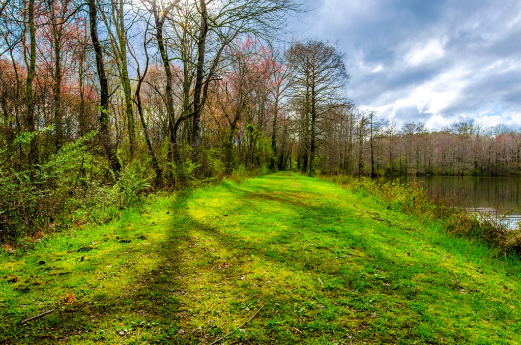
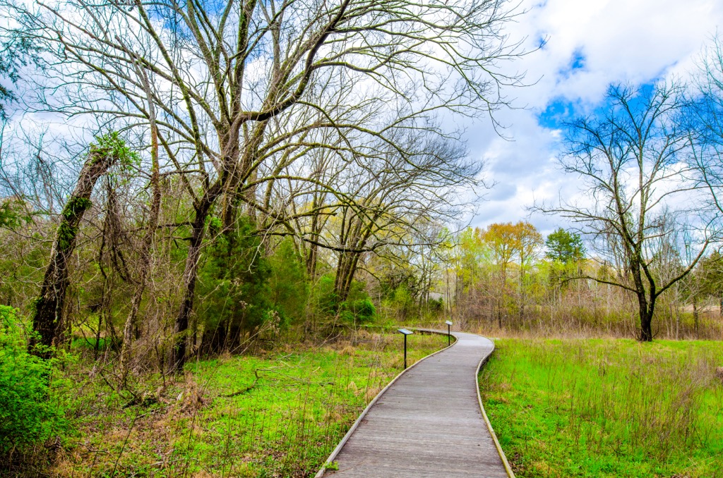
Holly Springs National Forest is home to numerous trails and outdoor recreation areas. Here are some of the top hiking areas to visit in the forest:
This hiking route loops around North Cypress Lake and can be used for hiking, biking, and horseback riding. The trail features numerous small climbs and descents through the forested landscape.
Hikers also have views of the lake and surrounding wetlands as the loop travels along the eastern shores. Used throughout the year, this marks one of the most popular hikes in the region. The loop is 3.3 miles (5.3 km) long and features 285 feet (87 m) of total elevation gain.
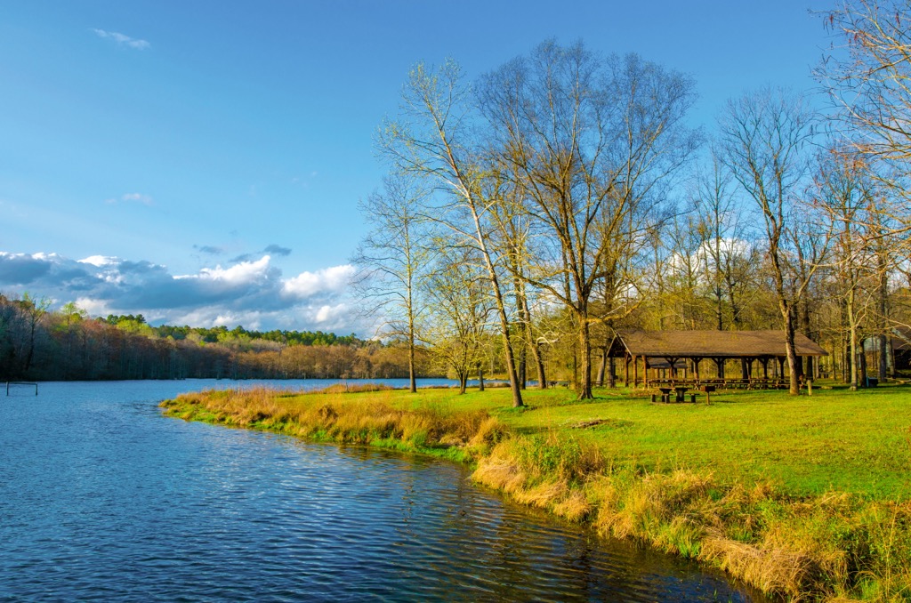
Chewalla Lake is a popular region within the national forest. The out and back path follows along the southwestern edge of the lake which also features a campground. A forested canopy extends around the sides of the spring fed lake.
A large ceremonial mound was once located where the lake now is, marking an important ceremonial site for the Indigenous peoples of the region. The out and back trail is 2.5 miles (4 km) long and features just 137 feet (42 m) of elevation gain.
Baker’s Pond is located in the northern stretches of the national forest. The route to the small pond slowly drops in elevation before reaching the pond. Hikers can also spot purplish colored sand along the path which is part of the Meridian Upper Wilcox aquifer. This out and back trail is one mile (1.6 km) long and features 141 feet (43 m) of elevation gain.
Looking for a place to stay near Holly Springs National Forest? Here are some of the best cities and villages to check out in the region:
The city of Tupelo lies southeast of Holly Springs National Forest. Home to 37,000 residents, Tupelo marks the sixth largest city in the state. Tupelo is known for being the birthplace of the famous Elvis Presley, with numerous statues commemorating the musician. The city also marks the headquarters of the Natchez Trace Parkway.
Downtown streets are lined with historic sites, local restaurants, and music venues. Those visiting can also explore the Tupelo Buffalo Park and Zoo, Tupelo Automobile Museum, or walk along the Civil Rights Trail in the city.
Memphis, Tennessee lies a short drive northwest of Holly Springs National Forest. Home to 633,000 residents, Memphis marks the second most populous city in the state after Nashville. Situated along the Mississippi River, Memphis is located near Tennessee’s border with both Arkansas and Mississippi.
The city has a long and rich music history and is known for its influence within rock ‘n’ roll, blues, and soul music. Besides music, Memphis also features a thriving food and diverse arts scene. Popular spots include the Blues Hall of Fame, Stax Museum of American Soul Music, and the Rock ‘n’ Roll Museum.