Get PeakVisor App
Sign In
Search by GPS coordinates
- Latitude
- ° ' ''
- Longitude
- ° ' ''
- Units of Length

Yes
Cancel
❤ Wishlist ×
Choose
Delete
Sabine National Forest is located in the eastern part of Texas along the border with Louisiana. It’s one of 154 National Forests in the U.S., encompassing over 160,000 acres (64,749 hectares). It’s the easternmost of Texas’s four national forests and is part of the larger Piney Woods ecoregion, characterized by woodlands dominated by towering pines and hardwoods. Sabine National Forest is also home to a variety of wildlife, such as white-tailed deer and wild turkeys. The forest is bordered by the Toledo Bend Reservoir, one of the largest artificial lakes in the U.S. There are 15 named mountains in Sabine National Forest; Forse Mountain (178 m / 584 ft) is the highest, while Big Hill (171 m / 561 ft) is the most prominent.
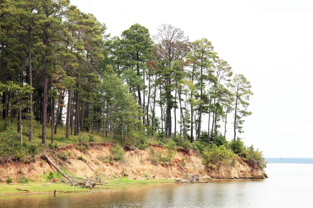
Sabine National Forest encompasses over 160,000 acres (64,749 hectares) of woodlands. It sits on the border of Texas and Louisiana. By car, Shreveport, Louisiana, is about an hour away, while Houston, Texas, is two and a half to three hours.
The forest’s terrain is a mix of gently rolling hills and flatlands, bordering the expanse of the Toledo Bend Reservoir, the fifth-largest artificial waterbody in the U.S.
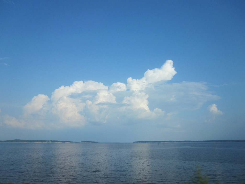
The forest is within the Piney Woods ecoregion. The area's climate is humid subtropical, with warm summers and mild winters. The Piney Woods are the wettest area of Texas, with average annual rainfall ranging from 45 to 50 inches for the Sabine National Forest and Toledo Bend Reservoir region.
Several major water features are prominent in and around Sabine National Forest. The Toledo Bend Reservoir and the Sabine River are the two most notable. A second large reservoir, called Sam Rayburn, is protected by the neighboring Angelina National Forest. It’s connected to Sabine National Forest and Toledo Bend by the 28-mile Trail Between the Lakes.
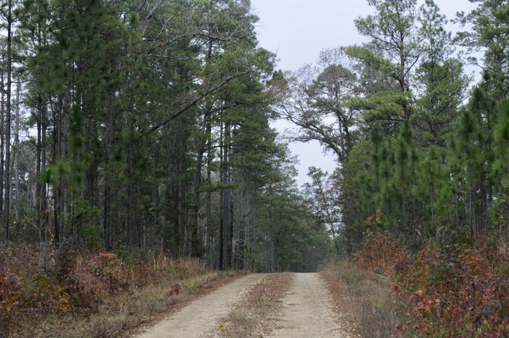
East Texas and Western Louisiana are home to two underlying geological zones. The first is the East Texas Basin, which contains significant oil and natural gas deposits. The basin is composed of sedimentary rocks that date back to the Cretaceous and Tertiary periods (approximately 145 to 66 million years ago). These layers are rich in organic material, which, under heat and pressure, form the vast hydrocarbon reserves that have enriched Texas and Louisiana’s economies.
A second zone is the Gulf Coastal Plain, a broad, low-lying area that extends inland from the Gulf of Mexico. The Sabine National Forest is technically just north of the Gulf Coastal Plain and within the East Texas Basin, although the topography and ecology are similar.
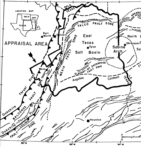
The Sabine National Forest even has an eponymous geological feature. The Sabine Uplift is a notable structural high where older rocks have been brought closer to the surface due to tectonic uplift.
Superficially, East Texas and Western Louisiana are characterized by relatively flat to gently rolling terrain, with alluvial plains, river valleys, marshes, and, notably, the Toledo Bend Reservoir. The soils are typically acidic and vary from sandy loams to clays, contributing to the dense pine forests of the Piney Woods in East Texas and the mixed woodlands and wetlands of Western Louisiana.
The ecology of Sabine National Forest is some of the most diverse in Texas, reflecting its location within the Piney Woods ecoregion. Native species of southern yellow pine include shortleaf, longleaf, and loblolly pine. The forests also include native hardwood stands with oak, elm, hickory, pecan, black walnut, tupelo, and sweetgum.
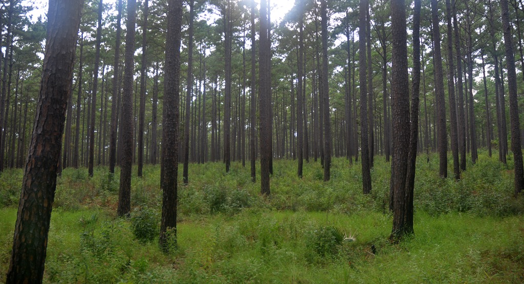
Sabine National Forest is home to a wide array of mammalian wildlife. White-tailed deer and eastern gray squirrels are common, while smaller mammals like raccoons, opossums, and bats prowl the forest at night.
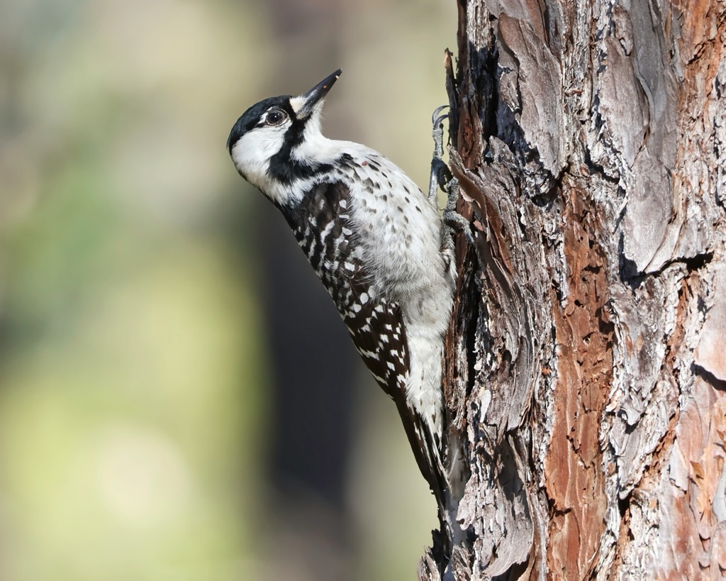
Bird species include the red-cockaded woodpecker, an endangered species that depends on the mature pine forests of the region. As the towering, straight Southern yellow pines are commercially valuable, truly mature forests have become rare. Much of the Sabine National Forest is used for logging, with harvests occurring between 15 and 60 years.
The Toledo Bend Reservoir provides aquatic habitats for fish, including bass, catfish, and crappie, making the area a popular spot for fishing. The reservoir and its associated wetlands also support waterfowl, as well as beavers and otters. The forest's wetlands and riparian areas are home to amphibians, such as frogs and salamanders, and reptiles, including turtles and snakes.
Sabine National Forest's complex human history spans thousands of years before the U.S. government, from indigenous cultures to European exploration, frontier settlements, and modern conservation.
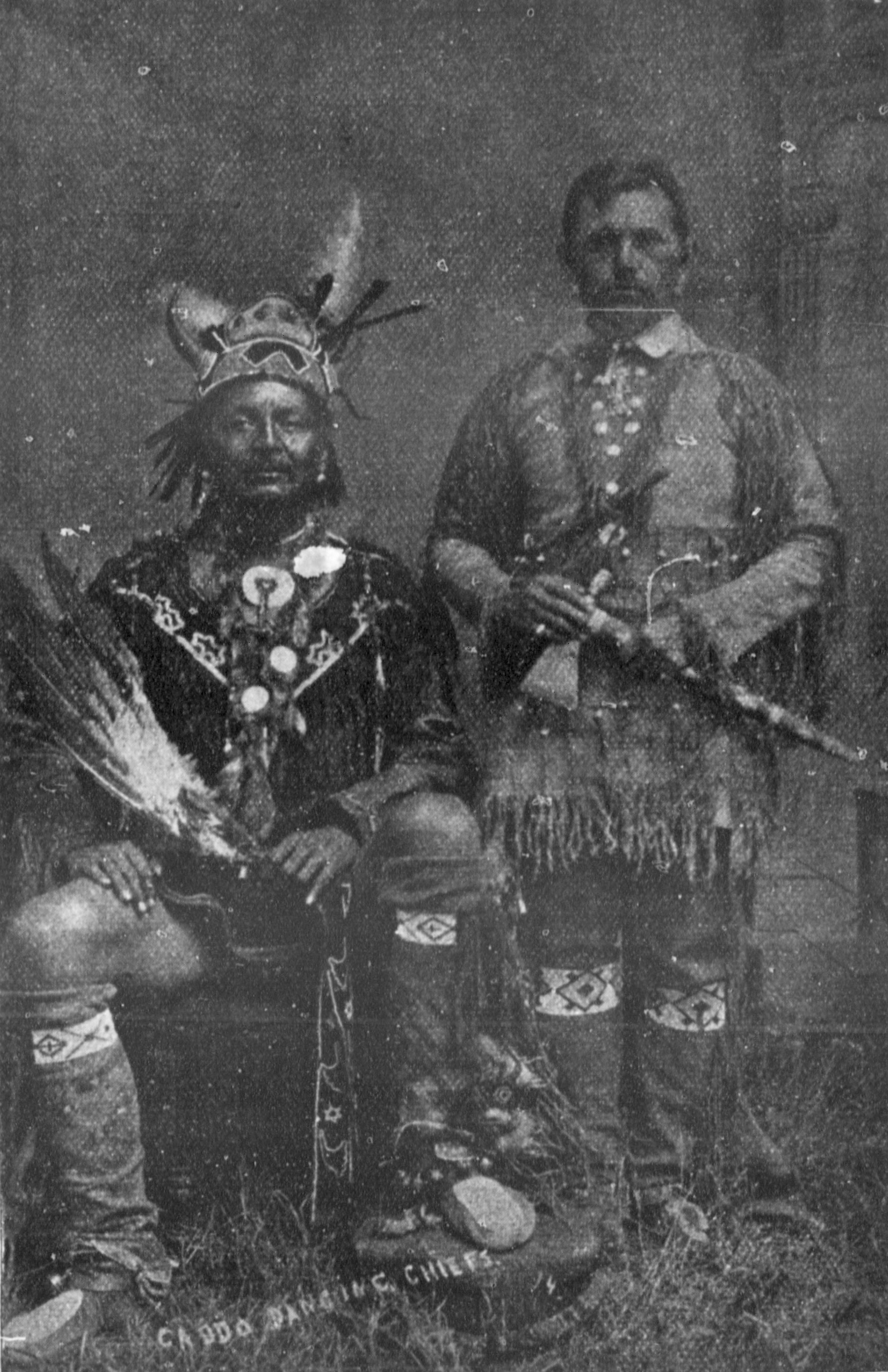
Before European contact, several Native American tribes inhabited the area around Sabine National Forest. The Caddo people, the most significant of these groups, were part of a complex network of agricultural societies that thrived for millennia in what can be loosely described as “Texarkana.” Their traditional homelands extended through Oklahoma, Arkansas, Texas, and Louisiana, and their society featured sophisticated social and political structures.
The Caddo cultivated maize, beans, and squash and extensively traded with other indigenous groups across the Southeastern United States until their extirpation from the land in the mid-19th century.
The first Europeans to explore the East Texas Basin were Spanish and French explorers in the 16th and 17th centuries. The Spanish explorer Hernando de Soto may have passed through the area in the 1540s, and later, French explorers such as René-Robert Cavelier traveled through in the late 1600s. These explorations led to sporadic European contact with the Caddo.
In the early 18th century, the French established trading posts and small settlements around Louisiana, while Spain laid claim to much of Texas. The region became a point of contention between the French and Spanish. The Sabine River, which now forms part of the boundary between Texas and Louisiana, became a critical frontier in these colonial disputes.
After the Louisiana Purchase in 1803, the United States acquired the land west of the Mississippi River, including the area around Sabine National Forest. American settlers began moving into East Texas, often bringing enslaved people to establish plantations. After a period of revolution and self-governance, Texas officially and definitively joined the United States in 1845. Texas and Louisiana’s thriving plantation industry was largely responsible for the disenfranchisement and eventual removal of the Caddo to their current reservation in Binger, Oklahoma.
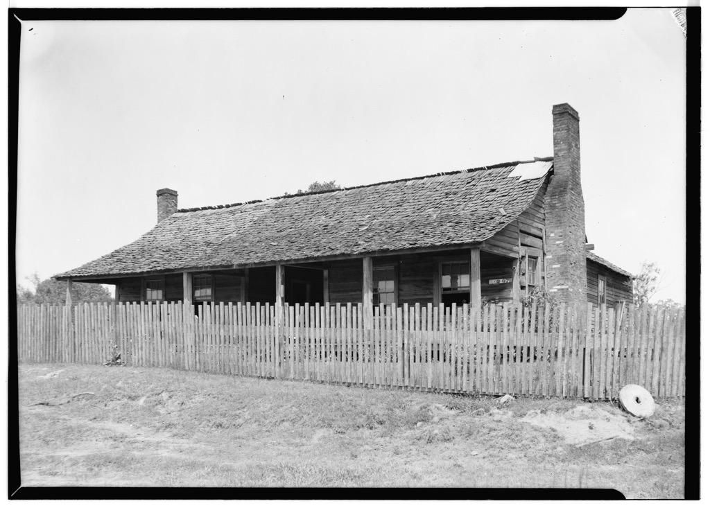
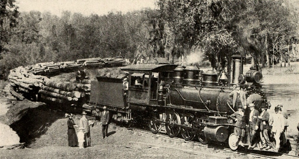
In the late 19th and early 20th centuries, the region around Sabine National Forest saw significant economic growth driven by the timber industry. The vast pine forests of East Texas were logged extensively; the rapid exploitation led to concerns about deforestation and the need for conservation.
Upon its establishment in 1936, the Sabine National Forest became a vital area for both industry and conservation, as well as recreation. The U.S. Forest Service managed the forest, implementing sustainable forestry practices, wildlife management, and the development of recreational facilities. The construction of the Toledo Bend Reservoir in the 1960s created new opportunities for fishing and boating.
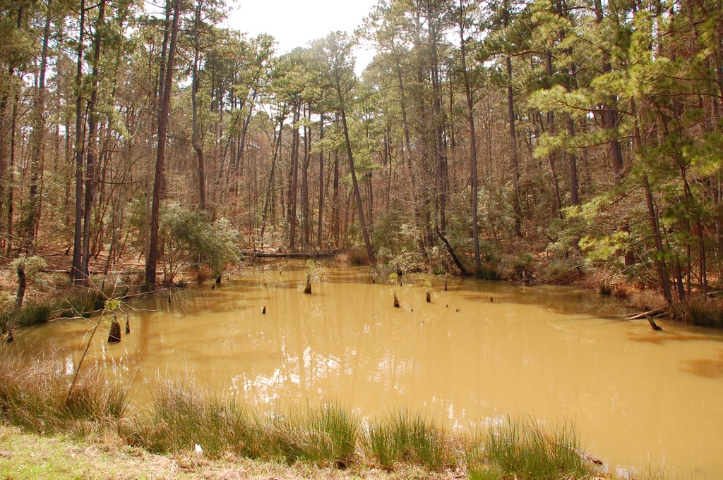
The 28-mile (43.1 km) Trail Between the Lakes is one of the most scenic hikes in Sabine National Forest. It runs between the Toledo Bend Reservoir and the Sam Rayburn Reservoir. While the entire trail is usually a two-day trek, hikers can easily tackle sections as day trips. There are three main trailheads. The Lakeview Recreation Area is the easternmost access, perched on the shores of Toledo Bend. The Yellowpine Trailhead is accessible from Texas State Highway 87, just north of the community of Yellowpine. The West Trailhead starts near the shores of Sam Rayburn Reservoir, at Texas State Highway 96 just north of Brookeland.
This trail traverses the Indian Mounds Wilderness, which preserves a small but beautiful area of old-growth trees near the edge of the Toledo Bend Reservoir. The forest features a mix of loblolly and shortleaf pines along the perimeter, while hardwoods thrive in the drainages formed by Indian Creek, Bull Creek, and Hurricane Bayou. The Indian Mounds Recreation Area, located just outside the southeastern boundary, and the Wilderness itself are named after the distinctive "hills" in the area, which were once believed to be ancient human-made structures but were later determined to be natural.
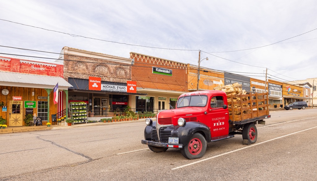
If there were such a thing as a “gateway” to the Sabine National Forest zone, it would be San Augustine, Texas. It’s about a 10-minute drive to the forest’s boundary in White Rock, TX, and 30 minutes to the shores of Toledo Bend.
San Augustine itself is a small, historical town with an attractive “Main Street America” feel. Founded in 1832, San Augustine is one of the oldest Anglo settlements in Texas and played a significant role in the state's early history. The town was a key site during the Texas Revolution and an important center for early Texan government and politics. San Augustine’s historic district is home to well-preserved 19th-century architecture, including the Augus Theatre and several antebellum homes. The town is also known for its connection to the El Camino Real de los Tejas, a historic trade route that linked Mexico to Louisiana.
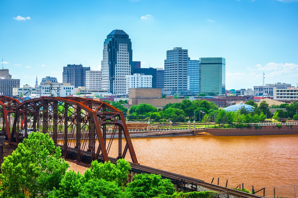
Shreveport is the nearest large city to the Sabine National Forest. Shreveport is in Louisiana’s northwest corner; it’s about an hour’s drive from downtown Shreveport to both the forest’s northern boundary and the northernmost tip of Toledo Bend.
The city was founded in 1836 at the intersection of the Red River and the Texas Trail. It’s experienced a couple of economic boom times, from the steamboat era to the oil boom of the early 20th century.
Shreveport is the cultural cousin of the more famous New Orleans. Today, visitors can check out its music venues, which feature primarily blues, jazz, and country music. Shreveport also boasts attractions like the Shreveport Aquarium, the Louisiana State Exhibit Museum, and the bustling Louisiana Boardwalk. Within the city limits, the Walter B. Jacobs Memorial Nature Park offers the chance for some hiking.
Houston is the closest metropolis to the Sabine National Forest. It’s the 4th largest city in the U.S., with 2.3 million people within the city limits. You can reach the southernmost tip of Sabine National Forest and Toledo Bend by car in about 2.5 hours, although Sam Houston, Davy Crockett, and Angelina National Forests are all closer.
Houston was founded in 1836 and named after General Sam Houston. The city quickly grew into a major port and commercial center. Today, Houston is a hub for the oil and gas industry and is home to the Texas Medical Center, the largest medical complex in the world. Houston is culturally diverse, contributing to an increasingly renowned culinary scene.
Urban sprawl has impacted the city; its greater metro population now reaches 7.5 million. It’s nearly 100 miles from the northwestern suburbs down to the city of Galveston on the coast, all of which is urban. Fortunately for the green-minded, Texas’s four National Forests are all to the northeast, within a couple of hours’ drive.

Explore Sabine National Forest with the PeakVisor 3D Map and identify its summits.


