Get PeakVisor App
Sign In
Search by GPS coordinates
- Latitude
- ° ' ''
- Longitude
- ° ' ''
- Units of Length

Yes
Cancel
❤ Wishlist ×
Choose
Delete
There are 4760 named mountain ranges in Oregon and approximately 3,764 mountains altogether. Generally, the state is divided into six areas: The Coast Range, the Willamette Lowland, the Cascade Mountains, the Klamath Mountains, the Columbia Plateau, and the Basin and Range region.The Coast Range, which runs from North to South along the Pacific Ocean, is characterized by low coastal cliffs and mountain ranges averaging less than 2,000 feet above sea level. Marys Peak, the most notable in Oregon’s Coast Range, reaches 4,097 feet above sea level.
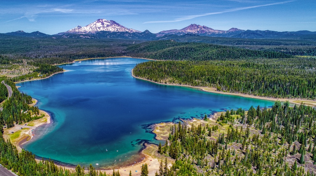
The Klamath Mountains are in the southwest corner of Oregon and include the Umpqua Mountains and the Siskiyou Mountains. Mt. Ashland marks the highest elevation in this region, reaching approximately 7,500 feet. Unlike other regions in Oregon, the Klamath Mountains have not been primarily formed by volcanism.
In Southeast Oregon, Steep-walled basins and fault-block mountain ranges define the Basin and Range region. At 9,738 feet and stretching for 50 miles, Steens Mountain dominates this region and is often confused for a mountain range.
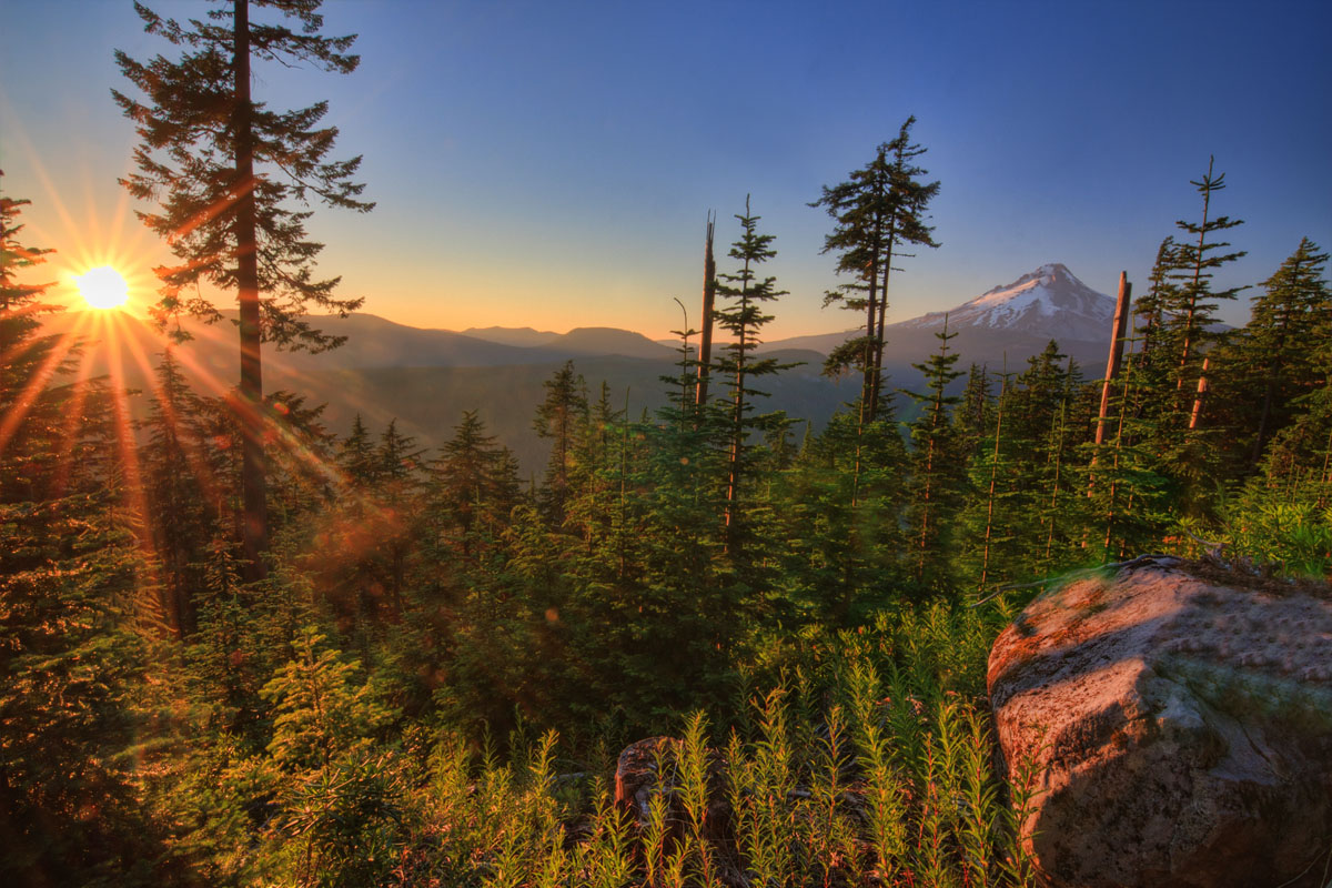
Oregon’s most notable mountain range, however, is the Cascade Range, which covers about 17 percent of the state and stretches for 260 miles. Known as the range that divides the state, in Oregon’s Cascade Range you’ll find more peaks over 9,000 feet than in nearby Washington and seven different national forests – the most notable being Mt. Hood National Forest. Comprised of mostly volcanic mountains (some still active), the Cascade Range is customarily divided into two physiographic sub-provinces, the Western Cascades and High Cascades.
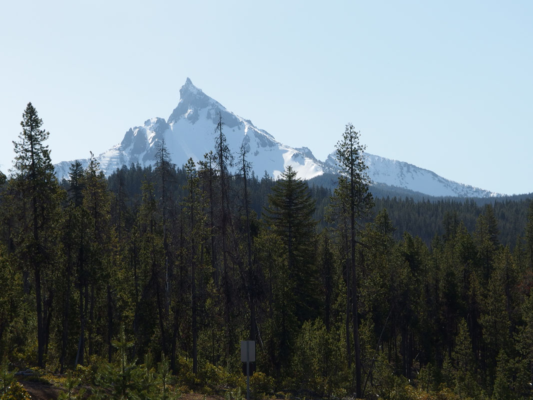
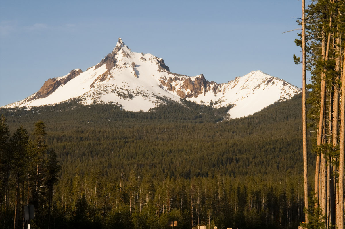
The Western Cascades are considered a very old and eroded mountain range. Often referred to as the ‘old cascades,’ the Western Cascades are covered in vast forests containing -fir, true firs, and hemlock. Although the High Cascades tend to attract more visitors, the Western Cascades offer a variety of hiking trails and are best-known for a 220-mile scenic byway that offers incredible views of Mt. Jefferson, Mt. Washington, and Three Fingered Jack.

The High Cascades dominate Oregon’s skyline and are where you’ll find the state’s tallest peaks and six active volcanoes: Mt Hood (11240 ft), Mt. Jefferson (10,497 ft), South Sister (10,358 ft), North Sister (10,052 ft), Middle Sister (10,036 ft), and Mt. McLoughlin (9,495 ft). Mt. Hood, Mt. Jefferson, the Three Sisters, and Crater Lake (which was formed by the eruption of Mt. Mazama), are all considered to be the highlights of the High Cascades. However, other recognizable glaciated peaks include Three Fingered Jack (7,844 ft), Mount Washington (7,798 ft), and Mount Thielsen (9,184 ft).
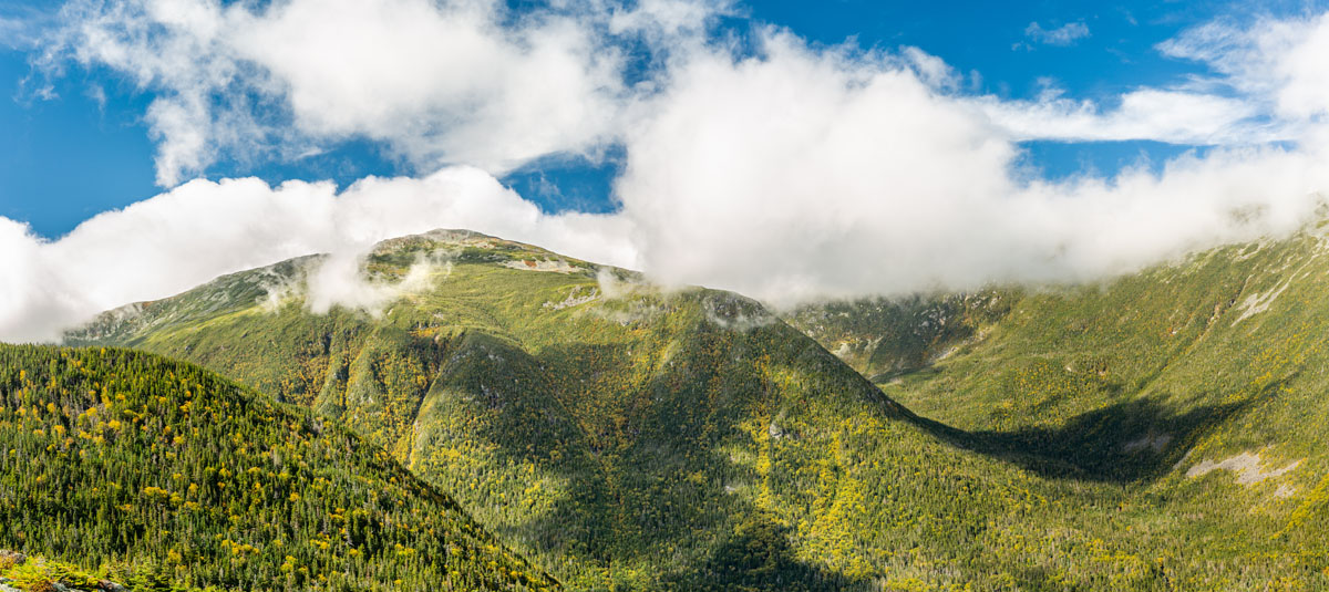
Mt. Hood National Forest: Arguably the most popular recreational area in Oregon, Mt. Hood spans from the shore of the Columbia Gorge to the base of Mount Jefferson. The Mt. Hood National Forest offers a variety of hiking trails for all levels, many of which offer incredible and unique views of Mt. Hood itself. However, there are also other trails, like the Elliot Glacier Overlook trail, that provide panoramic views of nearby Mt. Adams, Mt. St. Helens, and Mt. Rainier.
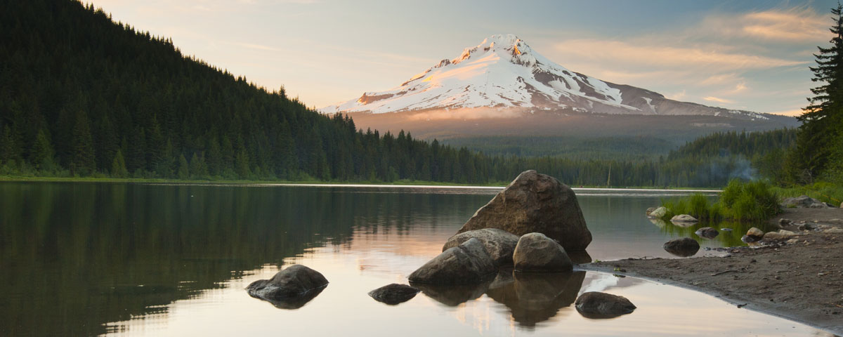
Crater Lake National Park: Located at the southern end of the Oregon Cascade region, Crater Lake National Park lies in the Caldera of Mount Mazama. However, the park offers visitors an opportunity to experience several surrounding mountains like Grizzly Peak trail, a 3.4-mile hike featuring views of Diamond Peak, Mt. McLoughlin, and Mt. Shasta or Mt. Scott (8,832 ft), the highest point in Crater Lake National Park, which offers views of Mt. Thielsen, the Three Sisters, and Tamsey Peak.
Mt. Thielsen Wilderness: Referred to as the “lightning rod of the Cascades,” Mt. Thielsen is a 9,182 spire that is an excellent challenge for day hikers and novice climbers. This iconic mountain trail intersects the famed Pacific Crest National Scenic Trail before turning into a class IV scramble. From the top of Mt. Thielsen, visitors are rewarded with views of the Three Sisters, Mt. Bailey, Crater Lake and Mt. Shasta.
Three Sisters Wilderness: The Three Sisters Wilderness covers 281,190 acres and offers over 260 miles of hiking trails. There are three notable peaks in this area, the north, middle, and south sisters, all of which exceed 10,000 ft. You can expect to experience beautiful alpine meadows, waterfalls, glaciers, and glacial-fed lakes within the Three Sisters Wilderness. South Sister, in particular, is a popular destination for climbers and experienced hikers.
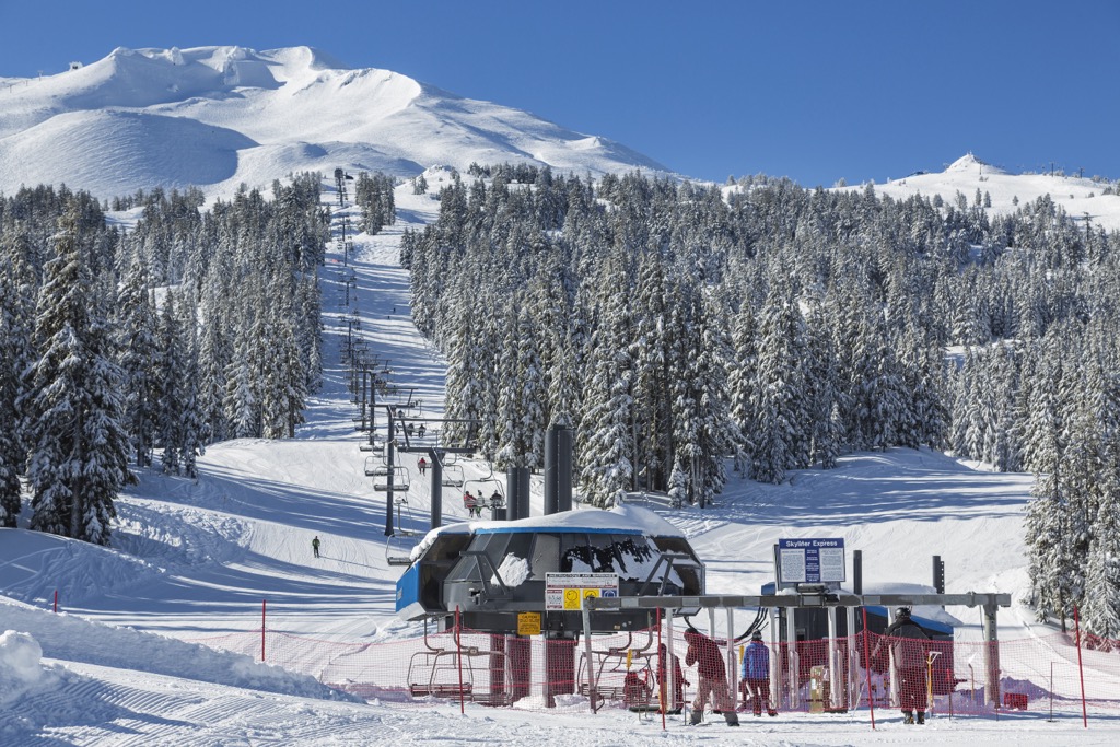
For skiing and snowboarding enthusiasts, there are more than 15 ski resorts in Oregon.
The largest is Mt Bachelor with more than 100 km (62 mi) of slopes and more than 10 ski lifts, which is located in the center of the state. Other major areas for skiing in Oregon include Hoodoo Ski Area, Mt. Ashland Ski Area, and Willamette Pass. The main ski resorts near Portland are also quite large, these are Mt. Hood Meadows and Mt. Hood Skibowl, as well as Timberline Lodge and Cooper Spur.
Check the Oregon ski resorts map and the larger USA ski resorts map in the World Mountain Lifts section of the site. It includes information about open ski lifts / slopes in Oregon in real-time with opening dates and hours. There are also year-round cable cars, funiculars, cog railways, aerial tramways, and all other types of mountain lifts.
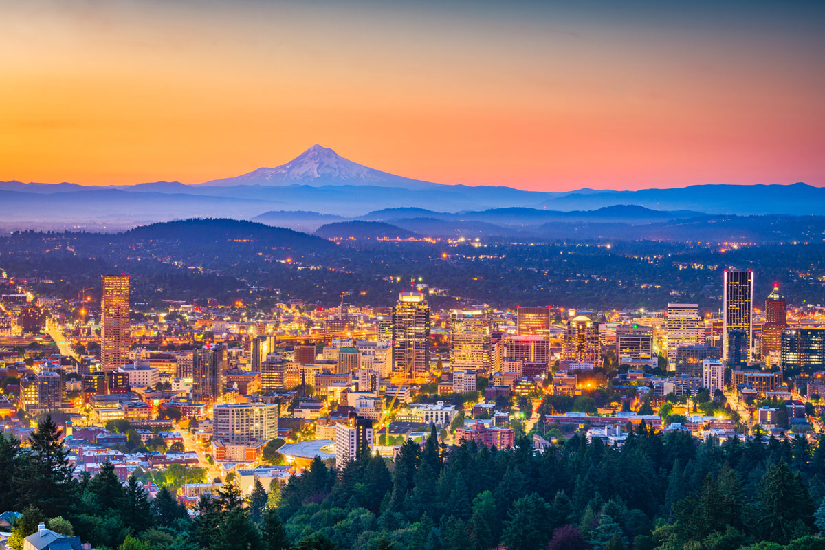
Portland: Portland is the largest city in Oregon and lies on top of an extinct volcanic field.The city is characteristically quirky and is best-known for its offbeat culture. In the city, you’ll find a variety of bike paths, coffee shops, and a laid-back environment. Portland is a popular city for tourists that are looking to visit the Columbia River Gorge, the largest national scenic area in the United States with the greatest concentration of waterfalls in North America. Most travelers start their Oregon adventure by flying into Portland and driving a few hours to their final destination.
Astoria: Considered one of Oregon’s most historic cities, Astoria was made famous for being in a popular cult classic film, “The Goonies.” Aside from being rich in history, Astoria offers a stunning scenic backdrop – the Astoria-Megler Bridge – and offers a variety of activities like kayaking, fishing, and sailing. From the top of the Astoria Column, you can catch a glimpse of the Cascade Mountains.
Ashland: Located in Southern Oregon, Ashland is conveniently located between the Siskiyou and Cascade Mountains, just 15 miles shy of the California border. Outdoor enthusiasts will appreciate that Ashland is close to several major hiking trails which include: Grizzly Peak, Soda Mountain, Mount Ashland, and parts of the Pacific Crest Trail. Located in the heart of Ashland, visitors will also enjoy Lithia Park, a 90-acre wooded area that is perfect for a relaxed afternoon stroll.

Sisters: Located near the popular volcanic peaks, known as the Three Sisters, Sisters is a quaint town that is ideal for visitors looking to explore the Three Sisters Wilderness or the Deschutes National Forest. In addition to a variety of hiking and camping, Sisters offers a variety of outdoor activities like mountain biking, skiing, fishing, and rafting.
Explore Oregon with the PeakVisor 3D Map and identify its summits.


ultra
glacier
volcano
oregon-9000ers
cascade-range-9000ers
chemeketan-18-nw
cascade-volcanoes-pin
mazamas-guardian-award
mazamas-cascades-award
mazamas-16-nw-award
fred-beckey-great-peaks
oregon-ultras
ultra
glacier
volcano
oregon-9000ers
cascade-range-9000ers
chemeketan-18-nw
cascade-volcanoes-pin
mazamas-cascades-award
mazamas-16-nw-award
oregon-ultras
ultra
glacier
volcano
oregon-9000ers
cascade-range-9000ers
western-state-climbers
western-state-climbers-star
chemeketan-18-nw
cascade-volcanoes-pin
mazamas-cascades-award
mazamas-16-nw-award
oregon-ultras
volcano
oregon-9000ers
cascade-range-9000ers
western-state-climbers
western-state-climbers-star
chemeketan-18-nw
cascade-volcanoes-pin
mazamas-cascades-award
mazamas-16-nw-award
glacier
volcano
oregon-9000ers
cascade-range-9000ers
western-state-climbers
western-state-climbers-emblem
chemeketan-18-nw
cascade-volcanoes-pin
mazamas-cascades-award
mazamas-16-nw-award
ultra
glacier
volcano
oregon-9000ers
cascade-range-9000ers
chemeketan-18-nw
cascade-volcanoes-pin
mazamas-guardian-award
mazamas-cascades-award
mazamas-16-nw-award
fred-beckey-great-peaks
oregon-ultras
ultra
glacier
volcano
oregon-9000ers
cascade-range-9000ers
chemeketan-18-nw
cascade-volcanoes-pin
mazamas-cascades-award
mazamas-16-nw-award
oregon-ultras
ultra
glacier
volcano
oregon-9000ers
cascade-range-9000ers
western-state-climbers
western-state-climbers-star
chemeketan-18-nw
cascade-volcanoes-pin
mazamas-cascades-award
mazamas-16-nw-award
oregon-ultras
volcano
oregon-9000ers
cascade-range-9000ers
western-state-climbers
western-state-climbers-emblem
cascade-volcanoes-pin
