Marys Peak (formerly Mary's Peak and sometimes still spelled this way) is a mountain in Benton County, Oregon, United States, just southwest of Philomath. According to the Benton County Historical Society, the native Kalapuya called the peak tcha Timanwi, or 'place of spiritual power.' It is the highest peak in the Oregon Coast Range. It is also the highest point in Benton County,
and ranks eleventh in the state for prominence.
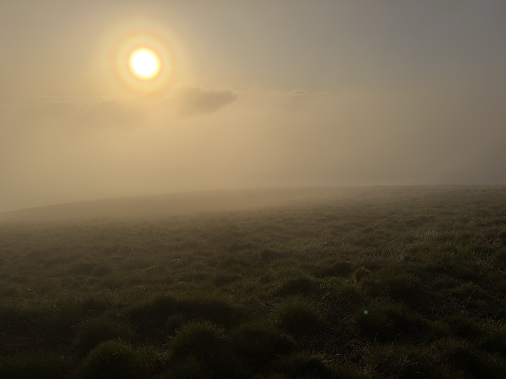
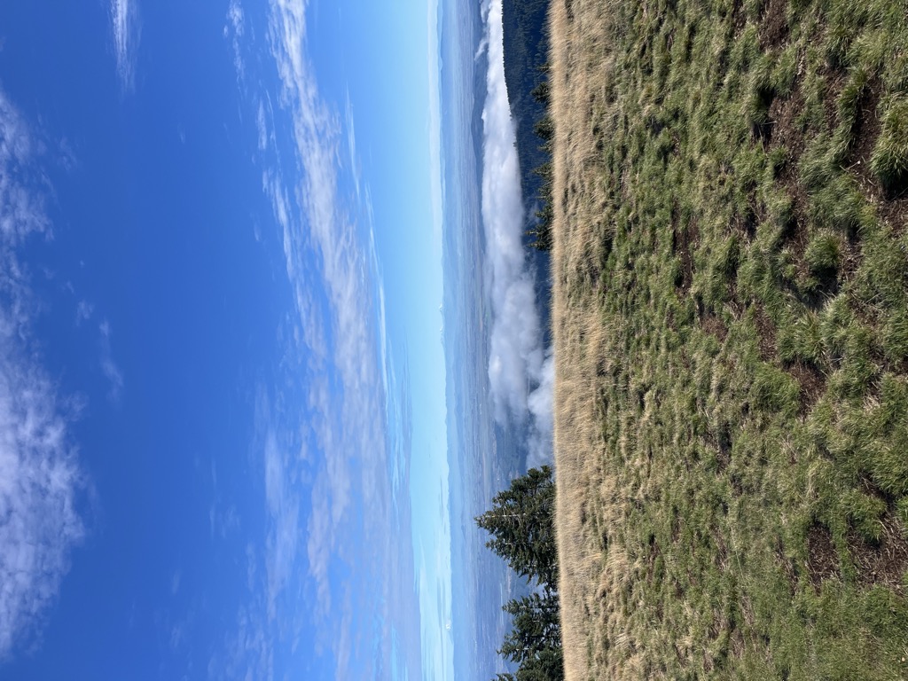
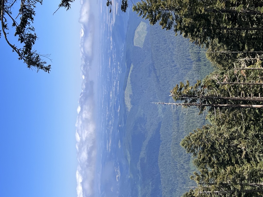
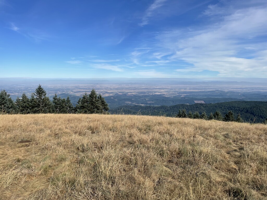
On a clear day at the top of the peak, facing east, northeast, and southeast, one can see the cities and suburbs of the Willamette Valley, as well as the Cascade Range. To the west, the Pacific Ocean is visible on clear days.
The road to the peak now remains open in the winter. During the 2010–2011 winter, the Forest Service announced that it will leave the gates open to facilitate travel to the summit. The road will not be maintained, so a lifted 4x4 or four-wheel chains are required for motor access during the winter months.
On June 15, 2019, the Oregon Geographic Names Board unanimously endorsed a proposal to give Native American names to 10 unnamed creeks that flow down Marys Peak. The Confederated Tribes of the Grand Ronde and Confederated Tribes of Siletz Indians were enlisted to be involved in representing the ancient indigenous groups and selecting the new names. The names proposed for adoption are in the languages of the Kalapuya, Wusi’n and Yaqo’n people who originally inhabited the land. The U.S. Board on Geographic Names unanimously approved the 10 names in September 2019.
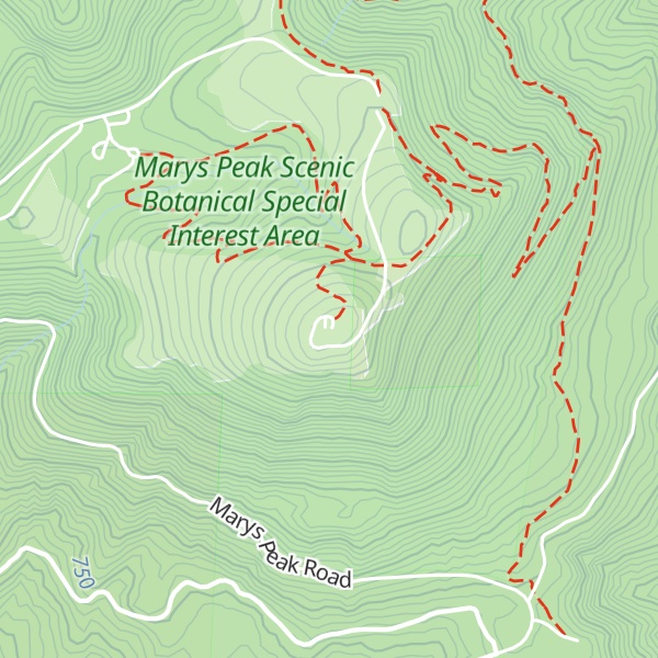
There's a trail called Mary's Peak Road leading to the summit.
By elevation Marys Peak is
# 1 out of 3 in Corvallis Watershed # 1 out of 55 in Benton County
By prominence Marys Peak is
# 1 out of 3 in Corvallis Watershed # 7 out of 3574 in the Northwest U.S. Coast Ranges # 11 out of 4749 in Oregon # 1 out of 55 in Benton County
We use GPS information embedded into the photo when it is available.
3D mountains overlay
Adjust mountain panorama to perfectly match your photos because recorded by camera photo position might be imprecise.
Move tool
Rotate tool
Zoom
More customization
Choose which peak labels should make into the final photo and what photo title should be.
Next
Photo Location
Satellitte
Flat map
Relief map
Latitude
Longitude
Altitude
OR
Latitude
°'''
Longitude
°'''
Apply
Register Peak
Peak Name
Latitude
Longitude
Altitude
Register
Teleport
PeakVisor
This 3D model of Sagarmatha National Park in Nepal was made using the PeakVisor app topographic data. The mobile app features higher precision models worldwide, more topographic details, and works offline. Download PeakVisor maps today.
Download OBJ model
PeakVisor
The download should start shortly. If you find it useful please consider supporting the PeakVisor app.
PeakVisor for iOS and Android
Be a superhero of outdoor navigation with state-of-the-art 3D maps and mountain identification in the palm of your hand!