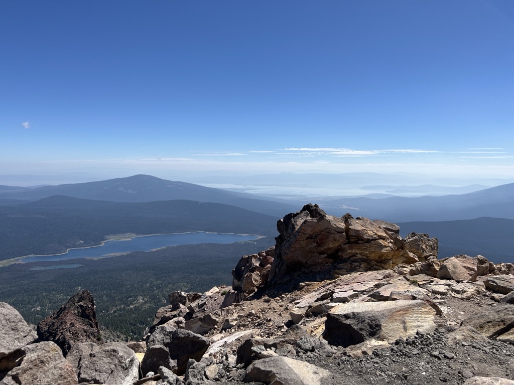
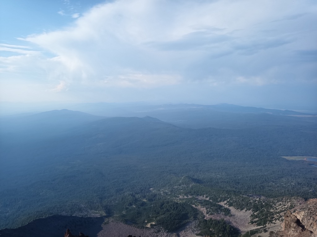
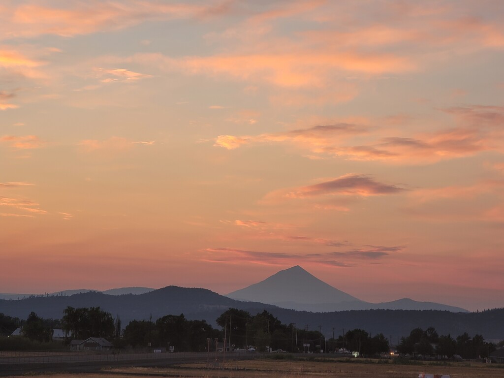
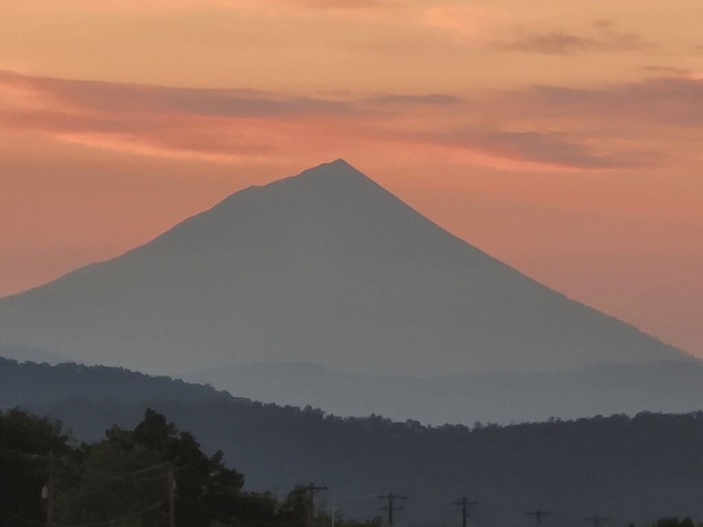
Mount McLoughlin is a dormant steep-sided stratovolcano, or composite volcano, in the Cascade Range of southern Oregon and within the United States Sky Lakes Wilderness. It is one of the volcanic peaks in the Cascade Volcanic Arc, within the High Cascades sector. A prominent landmark for the Rogue River Valley, the mountain is north of Mount Shasta, and south-southeast of Crater Lake. It was named around 1838 after John McLoughlin, a Chief Factor for the Hudson's Bay Company. Mount McLouglin's prominence has made it a landmark to Native American populations for thousands of years.
McLoughlin consists largely of basaltic andesite. It underwent three major eruptive periods before its last activity took place between 30,000 and 20,000 years ago. It is not currently monitored for activity or deformation. Diverse species of flora and fauna inhabit the area, which is subject to frequent snowfall and temperature variation between seasons. The Pacific Crest Trail skirts the eastern and northern sides and also accesses the only trail to the summit, the 6-mile (9.7 km) McLoughlin Trail 3716. The mountain can also be skied.
There's a trail called Mount McLoughlin Trail #3716 leading to the summit. Mount McLoughlin is one of the 1 peaks along the Mt. McLoughlin Trail.
By elevation Mount McLoughlin is
# 55 out of 4345 in the Cascade Range # 1 out of 300 in Rogue River-Siskiyou National Forest # 23 out of 4749 in Oregon # 1 out of 252 in Jackson County # 1 out of 35 in Sky Lakes Wilderness
By prominence Mount McLoughlin is
# 17 out of 4345 in the Cascade Range # 1 out of 300 in Rogue River-Siskiyou National Forest # 5 out of 4749 in Oregon # 1 out of 252 in Jackson County # 1 out of 35 in Sky Lakes Wilderness
We use GPS information embedded into the photo when it is available.
3D mountains overlay
Adjust mountain panorama to perfectly match your photos because recorded by camera photo position might be imprecise.
Move tool
Rotate tool
Zoom
More customization
Choose which peak labels should make into the final photo and what photo title should be.
Next
Photo Location
Satellitte
Flat map
Relief map
Latitude
Longitude
Altitude
OR
Latitude
°'''
Longitude
°'''
Apply
Register Peak
Peak Name
Latitude
Longitude
Altitude
Register
Teleport
PeakVisor
This 3D model of Sagarmatha National Park in Nepal was made using the PeakVisor app topographic data. The mobile app features higher precision models worldwide, more topographic details, and works offline. Download PeakVisor maps today.
Download OBJ model
PeakVisor
The download should start shortly. If you find it useful please consider supporting the PeakVisor app.
PeakVisor for iOS and Android
Be a superhero of outdoor navigation with state-of-the-art 3D maps and mountain identification in the palm of your hand!