
Scan the QR code and open PeakVisor on your phone
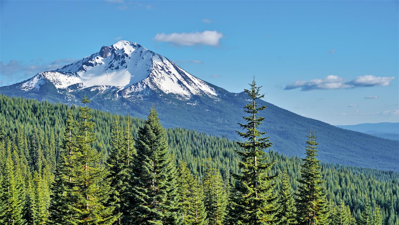
The Sky Lakes Wilderness is located in the state of Oregon in the western United States. The Wilderness lies within the Rogue River-Siskiyou and Fremont-Winema National Forests. The entire Sky Lakes Wilderness spans 116,300 acres. There are 33 named mountains in Sky Lakes Wilderness. The highest and the most prominent mountain is Mount McLoughlin at 9,495 feet. Mount McLoughlin is the highest peak within southern Oregon and stands between Three Sisters to the north and Mount Shasta to the south. The region was established in 1984 after the passage of the Wilderness Act in 1964. The Pacific Crest Trail passes through the wilderness for approximately 35 miles.
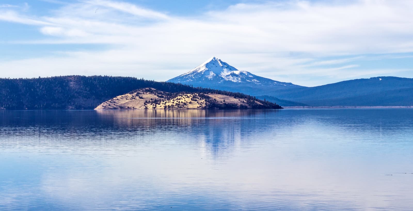
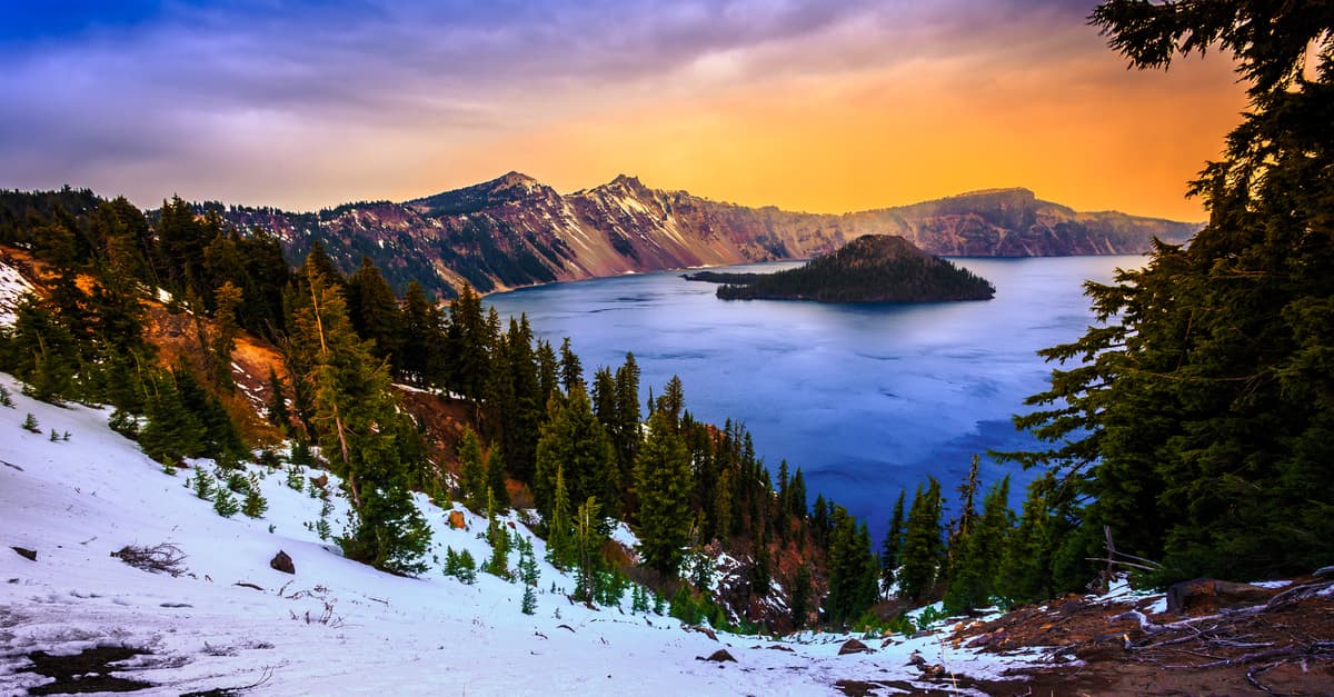
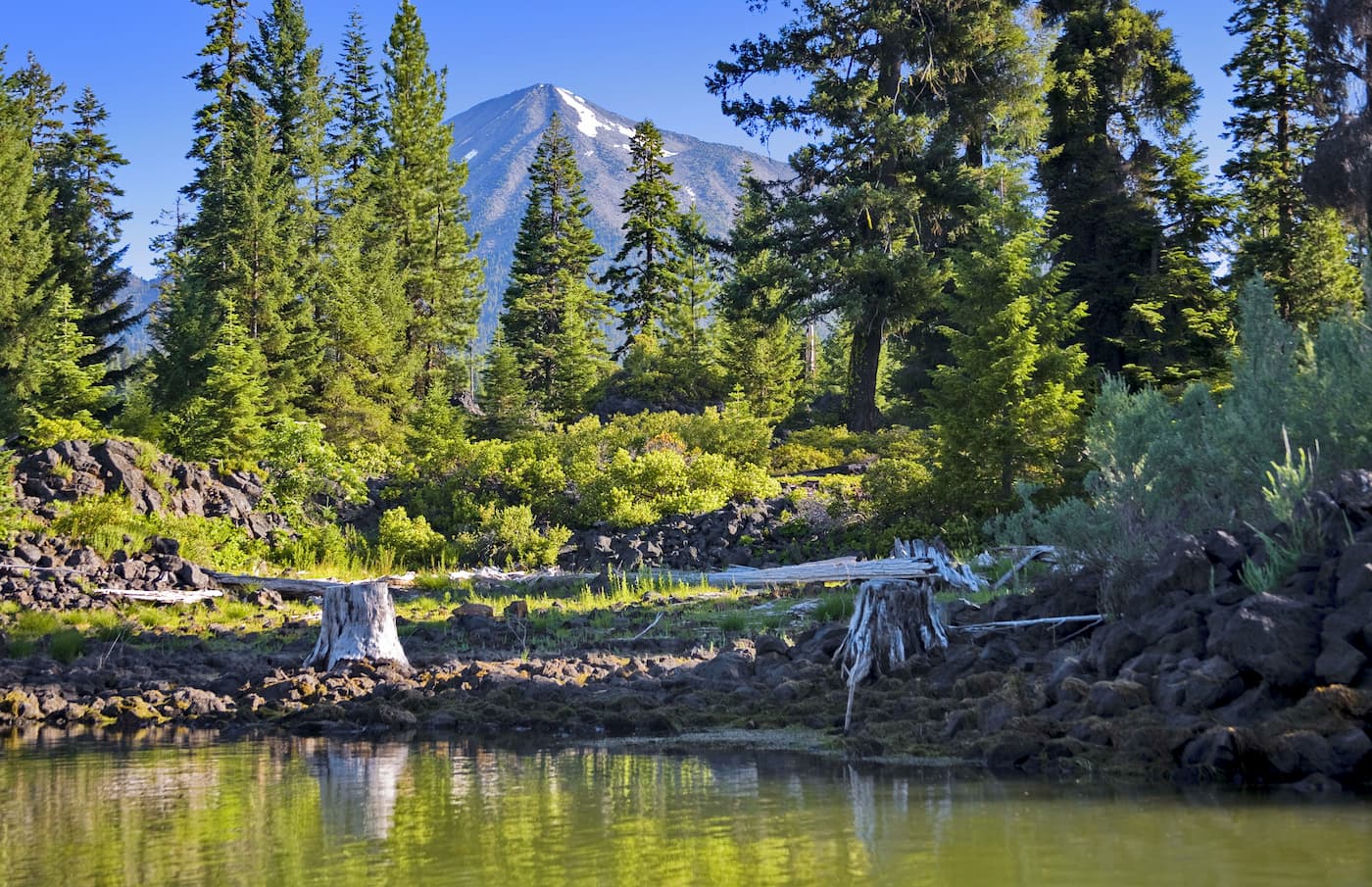
The wilderness is characterized by the three major lakes that were once glacial basins and borders Crater Lake national Park to the north. The forest within the Sky Lakes Wilderness is at higher elevation than the surrounding areas. The forest consists largely of Shasta red fir, western white pine and mountain hemlocks. Nearby Crater Lake national Park was formed when Mount Mazama exploded and collapsed 6,700 years ago. The vast amount of rock and ask that shot into the air landed in the northern portion of Sky Lakes Wilderness. Today this region is the pumice-covered Oregon Desert.
The northern third of the wilderness is home to many elk herds throughout the summer and early fall. The rest of the wilderness is home to black bears, cougars, and coyotes as well as many other small animals. Humans have passed through and/or inhabited parts of this wilderness dating back several thousands of years. Ancestors of the Klamath and Takelma Native American groups hunted game and used the region as a spot to harvest huckleberries.
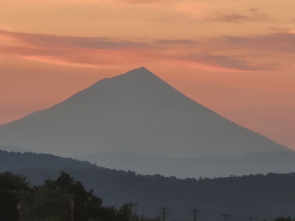
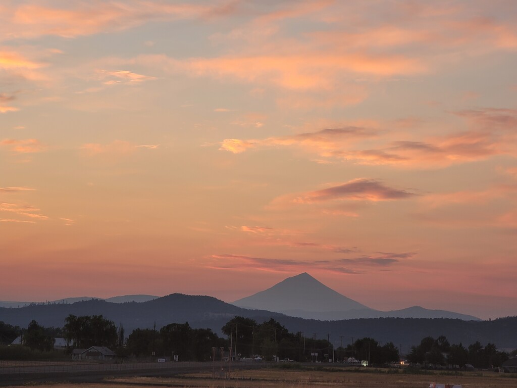
As the highest peak in southern Oregon. Hiking Mount McLoughlin is no easy feat. The route is 9-miles out and back with 3,900 feet of total elevation gain. Unlike nearby Mount Thielsen, this summit doesn’t require any rock climbing or scrambling to reach the top. From the top hikers can look out at the expansive views of the Cascade Range. Mount Thielsen, Mount Shasta, the rim of Crater Lake, and basins full of lakes are all within view. The mountain itself is a lava cone that sits on top of a composite volcano. The volcano has been inactive for tens of thousands of years. From the top of this exquisite peak, on a clear day, nearly a quarter of the state of Oregon is visible.
This basin is the namesake for the entire wilderness and it doesn’t disappoint. The basin is home to 14 named lakes along with numerous small ponds. The basin itself is split into two regions, Lower Sky Lakes Basin and Upper Sky Lakes Basin. An entire loop of 12 to 14 miles will take you through the entire basin while offering views of the many noteworthy lakes. The region contains many shorter trails or out and back sections for any distance. After hiking through this region, it’s no wonder that the entire wilderness was named after this basin.
The seven lakes basin contains a hiking loop that is slightly more difficult than Sky Lakes Basin. A 14-mile loop will take you through the basin, offering views of the most scenic lake in the wilderness, climb over Devil’s Peak and down through the Seven Lakes Basin.
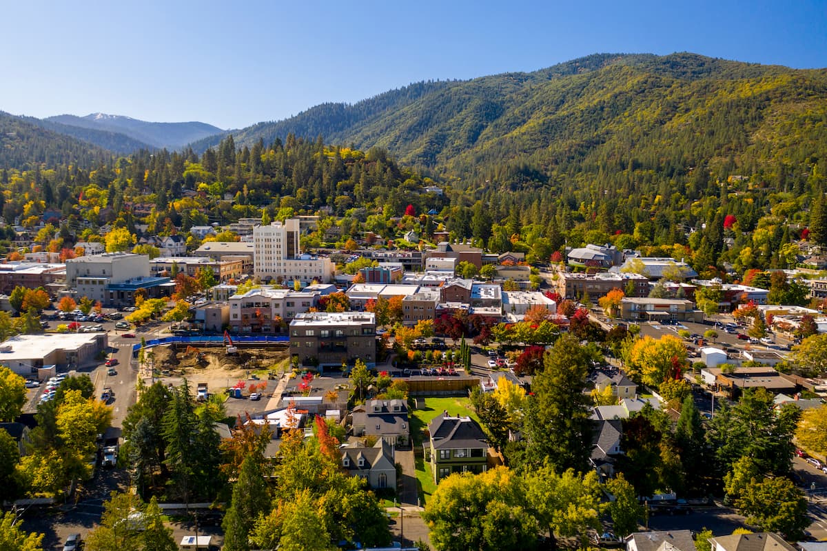
Ashland, Oregon is a city located in Southern Oregon with a population of around 21,000. The small city is known for being home to the Oregon Shakespeare Festival. The town is known for being very liberal, a sharp contrast to much of southern Oregon. Many of the city’s historical buildings have been preserved which give the downtown a quaint setting. Ashland is the perfect place to stay after a long hike in the mountains and is ideal for grabbing a bite to eat or check out a local gallery. The nearby city of Medford also has ample housing with close proximity to the surrounding mountain trails.
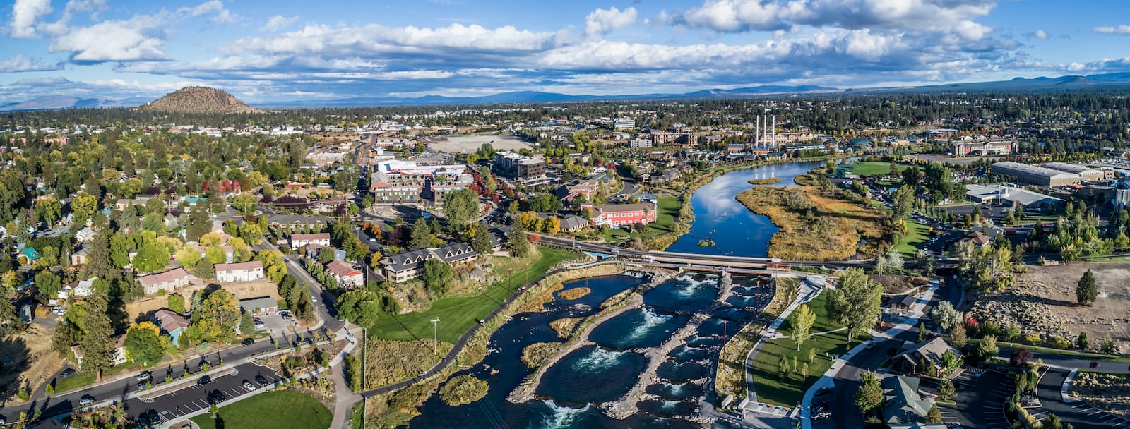
Bend is the largest city located in eastern Oregon with a population of nearly 100,000. The city is located on the Deschutes River and is known for being an outdoor paradise. To the west lies the lake and peaks of the Cascade Mountains, along with Mount Bachelor Ski Resort, while a trail in the city leads to the top of Pilot Butte. To the south lies the High Desert Museum and Newberry National Volcanic Monument. Just north of town is one of the state’s most iconic rock-climbing locations, Smith Rock State Park. As a whole, the city is a mecca for trail running, skiing, mountain biking, hiking, rock climbing, and even surfing in the river. Besides the abundance of outdoor activities, Bend is known for its numerous breweries and restaurants.


volcano
oregon-9000ers
cascade-range-9000ers
western-state-climbers
western-state-climbers-emblem
cascade-volcanoes-pin
volcano
oregon-9000ers
cascade-range-9000ers
western-state-climbers
western-state-climbers-emblem
cascade-volcanoes-pin


