Get PeakVisor App
Sign In
Search by GPS coordinates
- Latitude
- ° ' ''
- Longitude
- ° ' ''
- Units of Length

Yes
Cancel
❤ Wishlist ×
Choose
Delete
Padre Island National Seashore is a protected stretch of Padre Island. It’s located along the Gulf Coast of Texas, encompassing over 70 miles (113 km) of the 113-mile (182 km) coastline. Padre Island is the longest barrier island in the world; while the central stretch is protected, the North and South are both developed. The National Park Service has managed the park since its establishment in 1962. The seashore preserves a unique and diverse ecosystem that includes pristine beaches, dunes, grasslands, tidal flats, and some of the last remaining coastal prairies in the U.S. It’s an essential habitat for many animals, the most notable being the endangered Kemp’s Ridley sea turtle. The numerous recreational possibilities include camping, fishing, swimming, kayaking, and beachcombing; visitors can also four-wheel-drive along the island's beach. Remarkably, there are 5 named high points along the island. The highest and the most prominent is Green Hill, which is officially 10 ft / 3 m but can reach heights of 30 - 40 feet (9 - 13 m), depending on storms and the movement of sand.
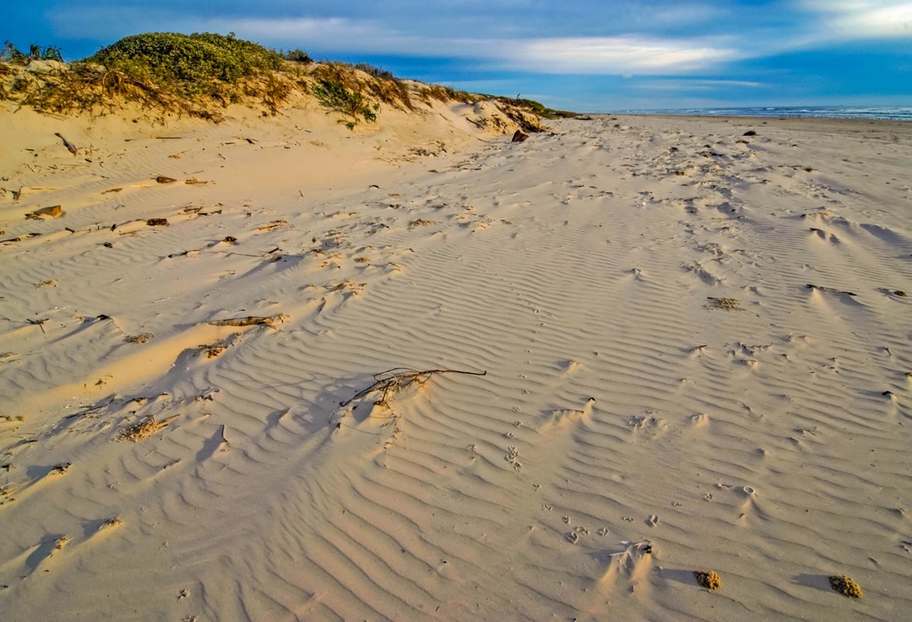
Padre Island National Seashore separates the Gulf of Mexico to the east from the Laguna Madre, a shallow, hypersaline lagoon, to the west.
The island is relatively narrow, with widths ranging from a few hundred yards to a couple of miles (~3 km). Its eastern side consists of broad, sandy beaches and is constantly shaped by the wind, tides, and storms from the Gulf of Mexico. Beyond the beach, sand dunes form a protective barrier and shield the island's interior from storm surges and coastal erosion.
On the western side, the Laguna Madre is one of the few hypersaline lagoons in the world, meaning it has higher salinity levels than typical seawater. The salinity reaches 45 parts per thousand in some places, while seawater averages 35 ppt. The Queen Isabella Causeway connects the town of Port Isabel with the beach resort town of South Padre Island.
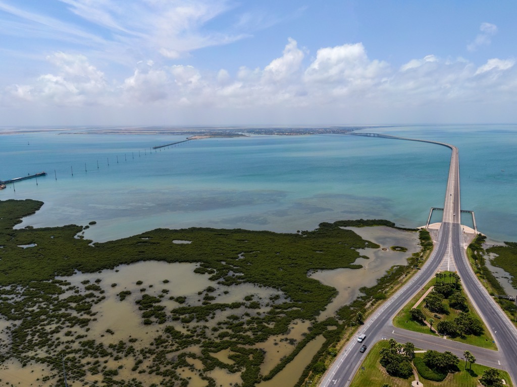
The northern portion of Padre Island is part of the city of Corpus Christi. The John F. Kennedy Memorial Bridge crosses the Laguna Madre to the island. It is the primary access point to the National Seashore, with the park’s visitor center and ranger stations located on this northern terminus.
There are no roads once on the National Seashore, although nearly the entire coastline is open to off-road vehicles. Primitive camping is also allowed along most sections of the beach.
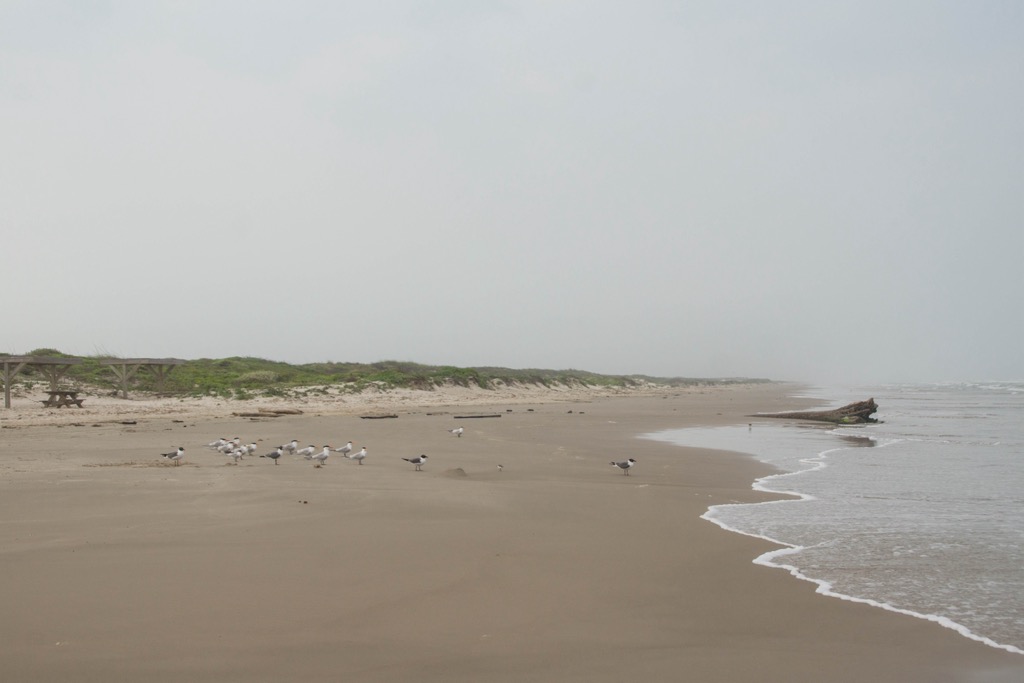
Coastal sedimentation and erosion characterize the geology of Padre Island National Seashore. Padre Island is a barrier island formed primarily from sediments carried by rivers and deposited along the coast by wave action, tides, and longshore currents. Barrier islands occur on about 15% of Earth’s coastlines.
The island consists primarily of sand originating from the erosion of distant inland rock formations. Over time, these rock formations erode, and the Rio Grande and other rivers transport the resulting sediments to the Gulf of Mexico, where ocean currents redistribute and consolidate them. Wave action and wind then continuously reshape the island’s beaches and dunes.
The sand dunes of Padre Island can rise to 30-40 feet (9-13 m). These dunes are formed by wind-blowing sand inland from the beach, creating a barrier that helps protect the island's interior from storm surges and coastal erosion. Coastal prairie grasses and shrubs stabilize the dunes and prevent their erosion from wind and water.
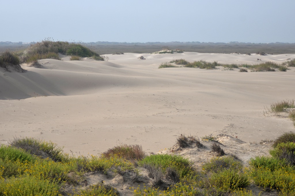
Sea-level fluctuations have also defined the island’s geologic past. During periods of lower sea levels, Padre Island would have been connected to the mainland, while higher sea levels submerge parts of the island.
To the west of the island lies the Laguna Madre. The lagoon formed due to the barrier created by the island, which restricted the exchange of water between the Gulf. Over time, evaporation and limited freshwater input led to hypersaline conditions.
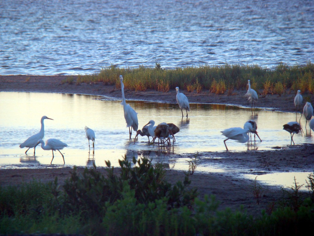
As the world’s longest undeveloped stretch of barrier island, Padre Island National Seashore is home to sandy beaches, dunes, grasslands, tidal flats, wetlands, and the Laguna Madre lagoon.
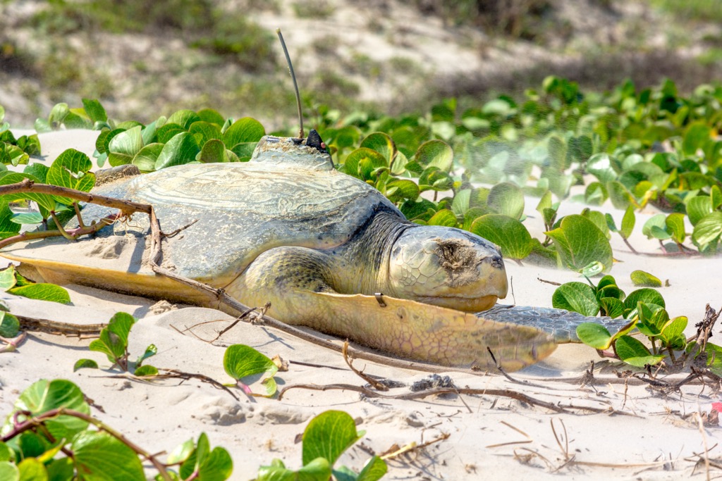
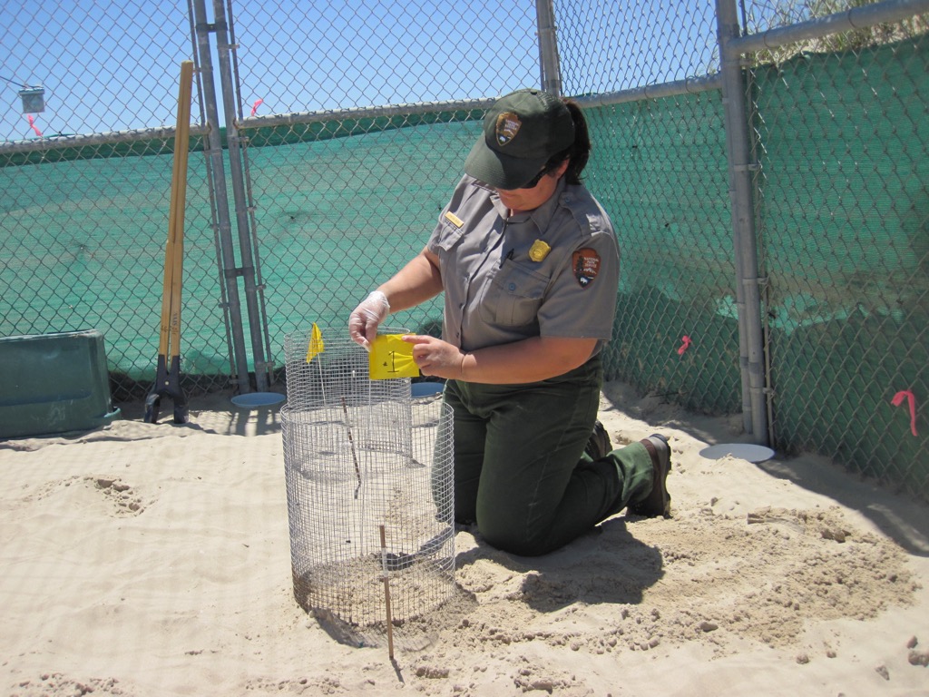
The beaches and dunes along the Gulf of Mexico are nesting grounds for endangered Kemp’s ridley sea turtles, which return annually to lay their eggs. There are a few dozen nesting pairs of Kemp’s ridley on Padre Island, though 95% of worldwide Kemp’s ridley nesting occurs in the state of Tamaulipas, Mexico. Kemp’s ridley is the world’s smallest sea turtle and is also the most endangered.
The IUCN classifies the turtles as critically endangered; its population crashed to a low of 250 nesting females in 1978 from what was probably hundreds of thousands. From 1978, the population increased at about 15% a year. However, in 2010, recovery abruptly halted, possibly due to the catastrophic effect of the largest oil spill in history, Deepwater Horizon.
The island’s sand dunes are stabilized by hardy vegetation, such as sea oats, and help protect the island from erosion and storm surges. These plants are well-adapted to survive in salty, windy, and dry conditions, forming the basis of this coastal dune ecosystem.
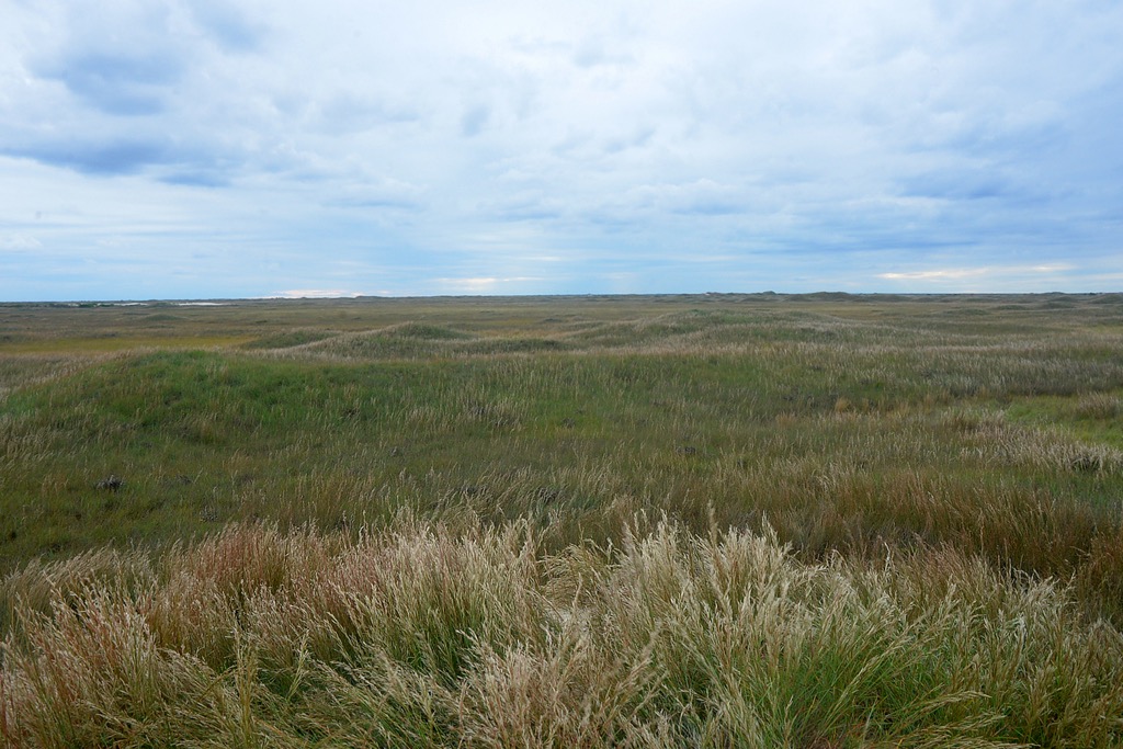
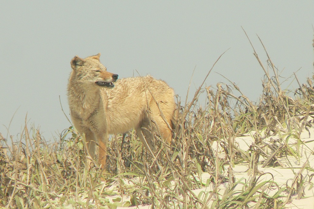
Inland from the dunes, Padre Island transitions into grasslands and coastal prairies dominated by salt-tolerant grasses and wildflowers. Many mammals and reptiles, including white-tailed deer, rattlesnakes, and coyotes, make their home here. These prairies are among the last of their kind in the U.S.
The grasslands are a crucial stopover for migratory birds along the Central Flyway, one of North America's major migration routes. In total, 45% of North American bird species have been documented on Padre Island. In addition to migratory birds, the park is a habitat for globally significant numbers of Brown pelicans and 7% of North America’s Peregrine falcon population.
The tidal flats and wetlands on the island's western side, near the Laguna Madre, are crucial feeding and resting areas for shorebirds and wading birds such as herons, egrets, sandpipers, and the endangered piping plover - the park is a habitat for 10% of the world’s population of the latter. These shallow areas are rich in nutrients, attracting crabs, shrimp, and fish, in turn supporting large bird populations.
Sam Houston National Forest's complex human history spans thousands of years before the U.S. government, from indigenous cultures to European exploration to modern conservation.
Native American tribes, including the Karankawa, Coahuiltecan, and Tonkawa, frequented Padre Island and the surrounding coastal regions for about 10,000 years before European arrival. These groups were primarily nomadic hunter-gatherers who relied on the coastal resources; they fished in the Gulf waters, hunted local wildlife, and collected shellfish, leaving shell middens and other archaeological evidence behind.
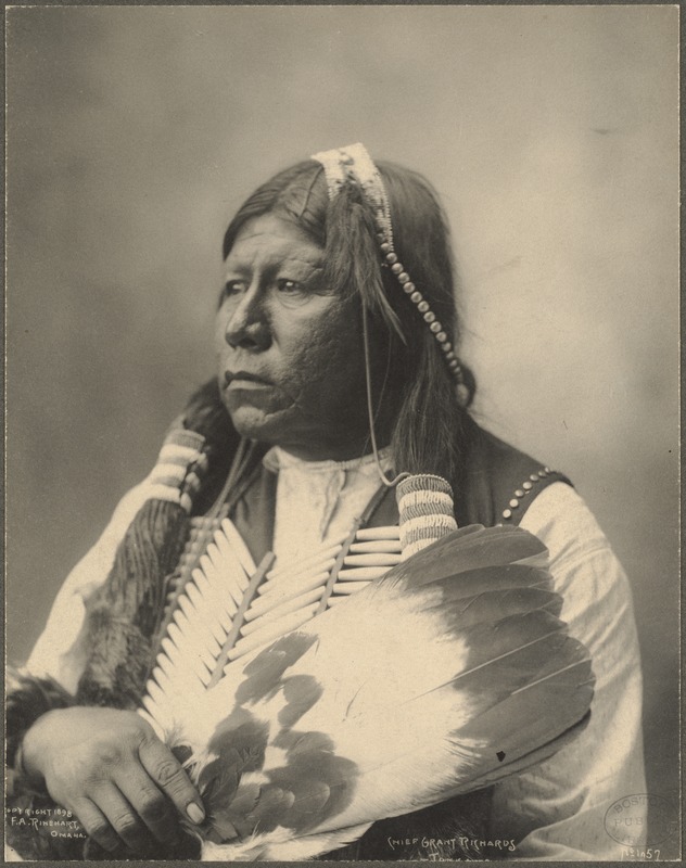
The first recorded European sighting of Padre Island was by Spanish explorer Álvar Núñez Cabeza de Vaca in the early 16th century. However, some accounts suggest Alonso Álvarez de Pineda mapped the Texas coast, including Padre Island, in 1519. Throughout the 16th and 17th centuries, Spanish explorers and missionaries intermittently visited, though no permanent European settlements were established due to the island's lack of fresh water and frequent storms.
In the late 17th and early 18th centuries, Padre Island's remote location made it an occasional refuge for pirates and smugglers operating in the Gulf of Mexico. Notorious figures like Jean Lafitte are rumored to have used the island as a base, though concrete evidence is scarce.
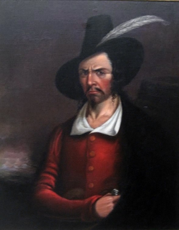
In the early 19th century, Padre José Nicolás Ballí, a Spanish missionary priest of Irish descent, received a land grant that included all of Padre Island. He eventually established ranching operations on the island and is credited as the first European to establish a permanent residence on the island; it was named "Isla Padre Ballí" in his honor (Padre meaning "Father" in Spanish).
After Texas gained independence from Mexico and later joined the United States, the Ballí family's ownership was recognized by both the Republic of Texas and the U.S. government, allowing them to maintain their ranching operations.
Ranching on Padre Island was difficult due to the harsh nature of the land. As ranching became more commercial and industrial in the post-Civil War period, the Ballí family saw little benefit in continuing operations and sold out to larger ranchers.
By the mid-20th century, improvements in transportation, such as the construction of large bridges, made Padre Island more accessible. The island's unspoiled beaches attracted tourists, and massive resorts like South Padre Island began to emerge from the dunes.
As the resorts of South Padre Island expanded, conservationists and locals advocated the creation of a national seashore.
The national seashore required purchasing land from private owners, including ranchers who had operated on the island. Finally, in 1962, President John F. Kennedy established the Padre Island National Seashore, designating approximately 70 miles of the island as a protected area managed by the National Park Service. The bridge connecting Corpus Christi and Padre Island was named after Kennedy.
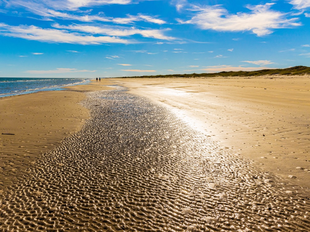
Padre Island takes “long walks on the beach” to the next level. You can go as far as you want, with the amount of water you’re willing to carry being the limiting factor. Walking the entire beach would total more than 70 miles, depending on tides. Most people stick to the northern end, starting from the visitors center, in an area known as Malaquite Beach. Otherwise, you can drive to essentially any point along the beach (except a four-mile stretch where vehicles are prohibited) to take a walk. There are fees attached to vehicles ($10 for a single day in 2024).
Conditions vary depending on where the tide is and how hard the sand is. Walking in deep sand can be arduous. It’s important to note that there is no shade along the entire stretch of beach, although you can always go swimming if you get hot.
Those looking for a land-based hike will want to check out the Grasslands Nature Trail and Novillo Line Camp Ruins along Highway 22 entering the park's north end (near the visitors’ center). The first trail is about a mile long and surveys the endemic coastal prairie lands. The second trail is also short and offers a chance to see some of the island’s remaining ranching cabins.
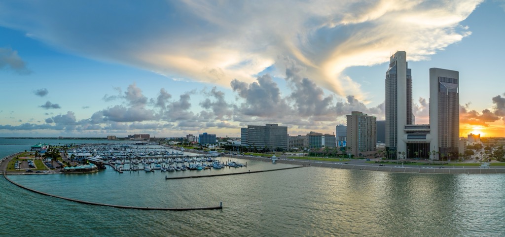
Corpus Christi (pop. 316,000) is a coastal city in South Texas along the Gulf of Mexico. From the downtown, the northern Padre Island National Seashore entrance is just a 15-minute drive across the JFK Memorial Bridge.
The Port of Corpus Christi is one of the largest in the United States, driving much of the local economy through shipping, oil refining, and petrochemical production. The city is also famous for its beaches and waterfront attractions; in addition to Padre Island, Mustang Island and Corpus Christi Bay offer beaches, boating, fishing, and birdwatching. Corpus Christi is also home to the Texas State Aquarium, the USS Lexington Museum, and the South Texas Botanical Gardens & Nature Center.
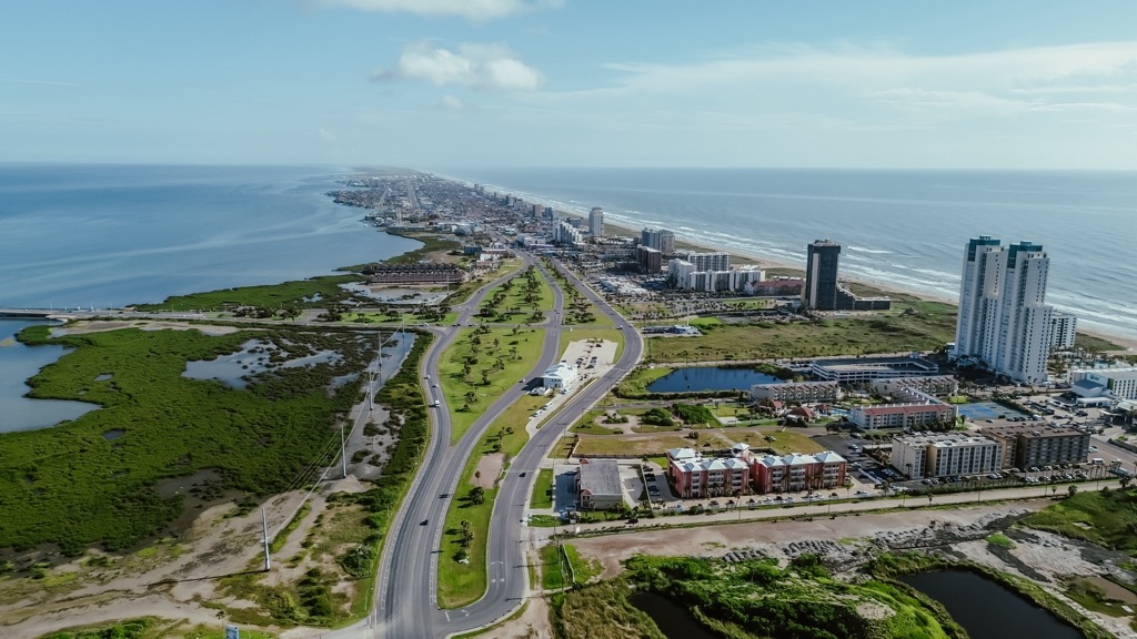
South Padre Island shares a name and an island with the National Seashore, but that’s about it—otherwise, the two stand in direct contrast. South Padre Island is defined by towering hotel resorts and high rises, wide roads, swimming pools, and other infrastructure characteristic of a large resort.
The resort attracts tourists year-round and is especially famous for college students during spring break. During high season, the local watering holes are filled every night of the week. Over seven million people visit each year despite having just 2,000 permanent residents registered in the town.
Explore Padre Island National Seashore with the PeakVisor 3D Map and identify its summits.


