Get PeakVisor App
Sign In
Search by GPS coordinates
- Latitude
- ° ' ''
- Longitude
- ° ' ''
- Units of Length

Yes
Cancel
❤ Wishlist ×
Choose
Delete
Located in southeast Arizona, Saguaro National Park protects 92,000-acres of Sonoran Desert landscape and giant saguaro cactus (Carnegiea gigantea). The saguaro cactus does not grow naturally anywhere else in the world.
The park, which gets its name from the saguaro cactus native to the Sonoran Desert, is divided into two separate areas – the Tucson Mountain District on the west and the Rincon Mountain District on the east. The two districts are 30 miles apart and, while they are similar in terms of flora and fauna, they each offer visitors a unique experience.
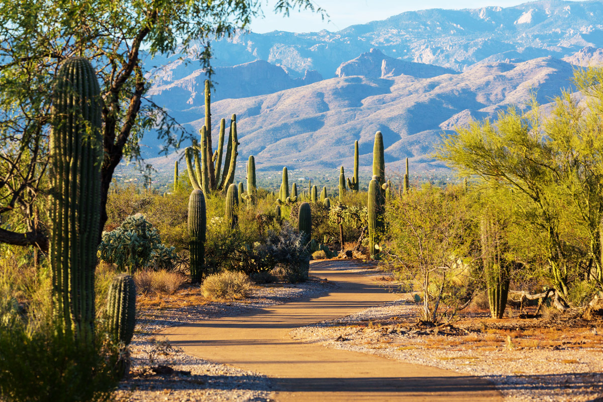
The Tucson Mountain District (TMD) is best-known for its large stands of saguaro cactus and saguaro forest, while the Rincon Mountain District (RMD) boasts an incredible sky island frequented by bears, cougars, and elusive coati. The TMD also contains volcanic rock that varies greatly from the surface rocks of the RMD.
The Rincon Mountains, fittingly located in the RMD, are also significantly higher and wetter than the Tucson Mountains found in the TMD. In fact, the Rincons are one of the Madrean Sky Islands between the Southern Rocky Mountains and the Sierra Madre Oriental in Mexico and house a variety of plants and animals that are not found in the Tucson Mountains.
The RMD varies in elevation from approximately 2,600 feet to 8,668 feet at the top of Mica Mountain. Nearby noteworthy summits in the Rincon Mountains include Spud Rock, Rincon Peak, Duckbill, and Man Head. The RMD contains 6 biotic communities – desert shrub, desert grassland, oak woodland, pine-oak woodland, pine forest, and mixed conifer forest.
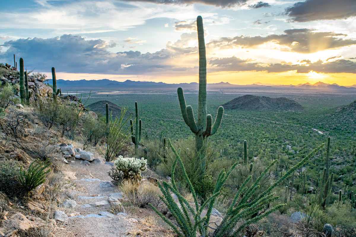
The TMD ranges from 2,180 feet to just 4,688 feet at the top of Wasson Peak. This portion of the park contains 2 biotic communities – desert shrub and desert grassland. Noteworthy summits in the Tucson Mountains include Amole Peak, Safford Peak, and Panther Peak.
In terms of outdoor recreation, both sides of the park contain popular hiking trails and offers visitors the opportunity to sightsee via car, horseback, or bicycle. The park contains 165 miles of trails and several paved roads that lead to campgrounds and attractions. Although the saguaro is the park’s pride and joy, visitors often appreciate the park’s vibrant spring wildflower displays and the park’s mild weather during the winter months.
At just .5 miles out and back, the trip to Signal Hill is short and sweet. This trail leads to ancient petroglyphs on a rocky hilltop that date back more than 800 years. Most of the rock art found in the park was created by prehistoric Hohokam, who etched, pecked, and scraped designs into the dark patina found on the surface of sandstone scattered throughout the desert.
This scenic footpath climbs to incredible panoramic views of the surrounding valley. Start by taking the Sendero-Esperanza trail to the Hugh Norris trail junction on the ridgeline. From there, take a left on the Hugh Norris Trail toward Wasson Peak, the highest point on the west side of the park. From the summit, you can soak in views of the Tucson Mountains, the city of Tucson, the Santa Catalina Mountains, the Rincon Mountains, and Picacho Peak.
This 8-mile loop through Saguaro East offers several scenic turn offs and leads to two popular attractions - The Desert Ecology Trail and the Javelina Rocks Overlook. A guide to the natural and cultural history of the Cactus Forest Loop Drive is available for just $2.00 at the visitor center. This scenic drive can also open to bicyclists.
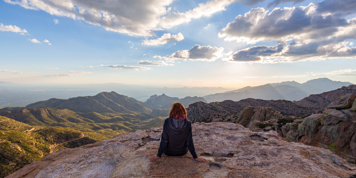
No matter where you are in Tucson, Arizona, Saguaro National Park is less than 20 miles away. Tucson receives 350 days of sunshine and has plenty of quirky accommodations and delicious restaurants to choose from. The Loews Ventana Canyon Resort, Canyon Ranch, and the Lodge at Ventana Canyon are a few of the most popular resorts in the area. In addition to Saguaro, Tucson is also close to Catalina State Park, Sabino Canyon, and Mount Lemmon, the city’s most iconic mountain.
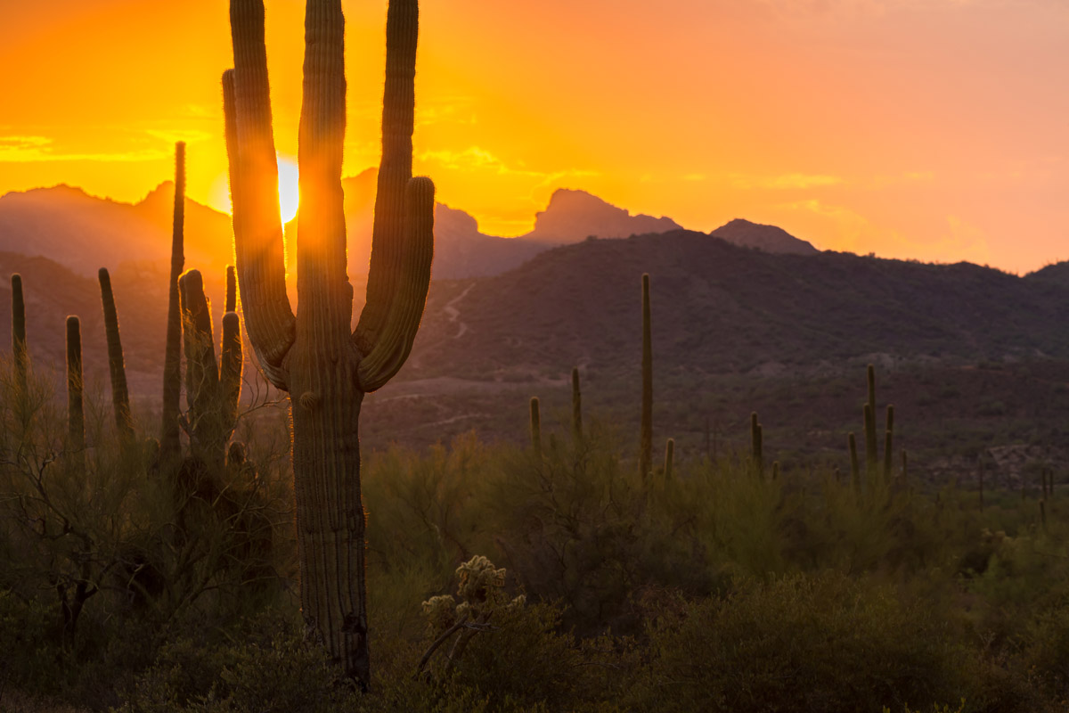
Explore Saguaro National Park with the PeakVisor 3D Map and identify its summits.


