Get PeakVisor App
Sign In
Search by GPS coordinates
- Latitude
- ° ' ''
- Longitude
- ° ' ''
- Units of Length

Yes
Cancel
❤ Wishlist ×
Choose
Delete
Located in the US state of Nevada, the Black Mountains are a group of 26 rugged summits that lie mostly within the Lake Mead National Recreation Area. The highest point in the range is Mount Perkins (5,456ft/1,663m) and the most prominent is Mount Wilson (5,456ft/1,663m).
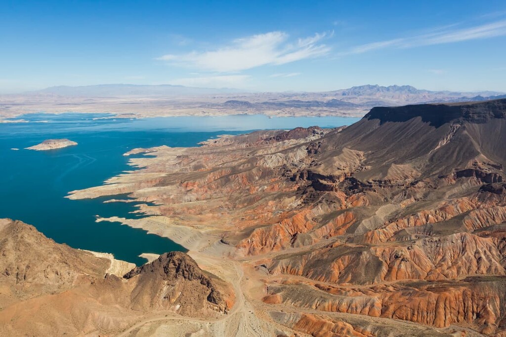
The Black Mountains of Nevada are located along the north shore of Lake Mead, roughly 50 miles (80 km) east of Las Vegas and 25 mi (40 km) south of Overton.
The Black Mountains are tucked within the Lake Mead National Recreation Area, which spans two distinct physiographic provinces: the Basin and Range and the Colorado Plateau. The majority of the Lake Mead National Recreation Area, including the Black Mountains, lie within the Basin and Range province. A detached part of the range lies in Arizona on the Colorado Plateau.
The southern border of the Black Mountains is shaped by Lake Mead, a large reservoir on the main stem of the Colorado River. Lake Mead contains four ecologically distinct basins, the Gregg, Temple, Virgin, and Boulder basins. The Black Mountains lie at the southwest corner of the Overton Arm, which stretches for roughly 33 miles (53 km) from the Virgin and Muddy Rivers to the Virgin Basin.
In addition to the Black Mountains, several other weathered summits and mountain ranges surround Lake Mead, including the River Mountains and Muddy Mountains. The north-northeast trending Muddy Mountains lie to the north of the Black Mountains and the River Mountains lie southwest of the range.
The northeast extremities of the Black Mountains lie within the Jimbilnan Wilderness, a rugged wilderness area that contains the upper canyons of three major washes. To the west, the Jimbilnan Wilderness is bound by the Pinto Valley Wilderness, home to Guardian Peak, one of the highest points in the area.

Neighboring parks and wilderness areas also include the 23,900-acre (9,672 ha) Mount Wilson Wilderness, which lies just south of the Arizona-Nevada border in Mohave County, and Valley of Fire State Park, which sits just north of the Black Mountains in Overton, Nevada.
It’s worth noting that there are several mountain ranges named the “Black Mountains” in the United States including the Black Mountains of North Carolina, the Black Mountains of California, and the Black Mountains of Utah. There is also a well-known Nevada summit named Black Mountain that’s tucked within the McCullough Range just to the south of the Las Vegas Valley and an unnamed peak that is frequently referred to as ‘Black Mountain,’ in Henderson, Nevada.
The geologic history of the landscape surrounding Lake Mead, including the Black Mountains, began more than 500 million years ago when southern Nevada was covered by a shallow sea.
When the sea retreated to form the western edge of North America, limestone and shale formations were crafted from the remains of plants and animals that had been combined with sediments eroded from older rock.
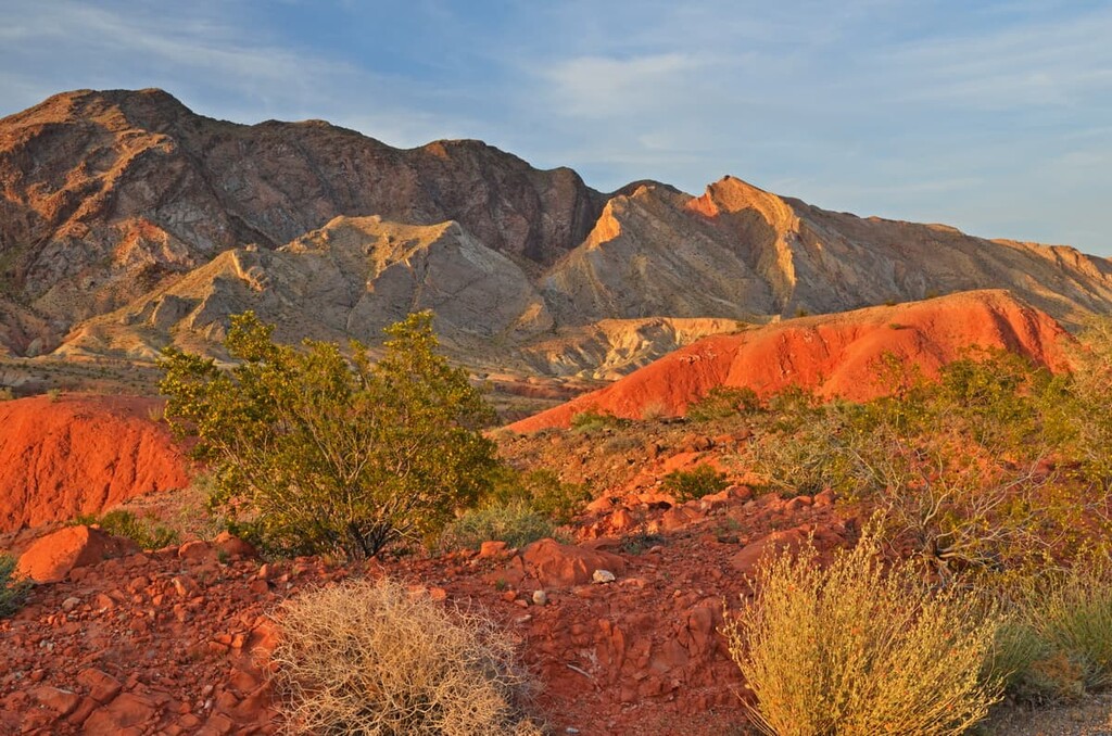
Acres of sand were also lifted by winds and transported across the landscape, shaping enormous sand dunes. The remnants of these dunes can be easily observed in the Aztec sandstone within the Bowl of Fire, west of the Black Mountains.
Roughly 17 million years ago, the thinning of the earth’s crust was accompanied by a series of significant earthquakes, resulting in dip-slip and strike-slip faulting in the area. Mountains were lifted and valleys sank, forming the familiar basin and range topography we see in the area today.
The thinning and stretching of the Earth’s crust also created fractures that would become pathways for magma. Approximately 20 million years ago, hot magma and volcanic eruptions covered the landscape with ash, volcanic debris, and lava. Evidence of the area’s volcanic past is most apparent south of Lake Mead in the River Mountains, Black Canyon, and Fortification Hill.
The region’s extensive volcanic and tectonic activity eventually subsided, allowing water to travel through the fractured landscape and shape the region’s incredible waterways and canyons.
Three desert ecosystems converge in the Lake Mead National Recreation Area: the Mojave, Great Basin, and Sonoran Deserts. Each of these desert ecosystems sustain a variety of plant and animal species.
The Black Mountains lie within the Mojave Desert, a 47,877 sq mi (124,000 sq km) desert region that spans southeastern California and southern Nevada. Though this vast desert landscape receives less than 6 inches (15 cm) of rain a year, it supports an incredible population of flower species, including the Las Vegas bearpoppy and desert trumpet.
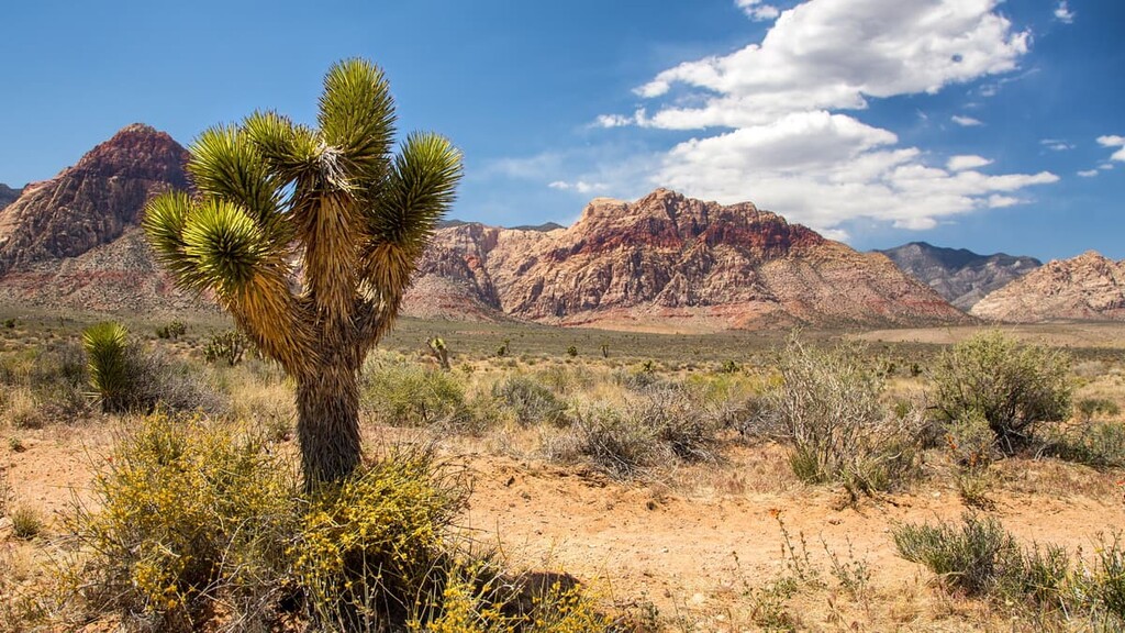
Roughly 2,000 plant species are also known to flourish in the Mojave Desert, including the famed Joshua tree. Vegetation in the Black Mountains, however, consists primarily of scrub species, including creosote bush, white bursage, indigo bush, Mojave yucca, and barrel cactus.
Mammals known to frequent the area include bighorn sheep, black-tailed jackrabbits, beavers, coyotes, and mountain lions. The Lake Mead National Recreation Area is also a north to south migration route for many species of birds, including the bald eagle, peregrine falcon, and burrowing owl.
Though the first written history of Lake Mead dates back to European-American settlement of the region in 1827, Ancestral Puebloans likely lived in what is now southern Nevada as early as about 300 BCE.
The Patayan and the Basketmaker-Pueblo, as well as the contemporary Hualapai Tribe, and Southern Paiute nations that traditionally lived in the area prior to European settlement established advanced hunting and gathering methods to survive the Mojave Desert’s relentless heat, sparse ground cover, and limited water supplies.
The Indigenous communities in the region erected dozens of impressive structures, including pit houses, pueblos, and cliff-side dwellings. Built on an Ancestral Puebloan cultural site, the Lost City Museum displays various tools, pottery, and artifacts recovered from prehistoric archaeological sites that were flooded when the Colorado River was dammed to form Lake Mead.
When the first European Americans reached present-day Lake Mead in the 1820s, the region’s arid environment was largely considered too inhospitable for settlement. However, the discovery of gold and silver in the mountains of southern Nevada, as well as extensive salt mining along the Virgin River, prompted a significant surge in white settlement in the mid and late 1800s.
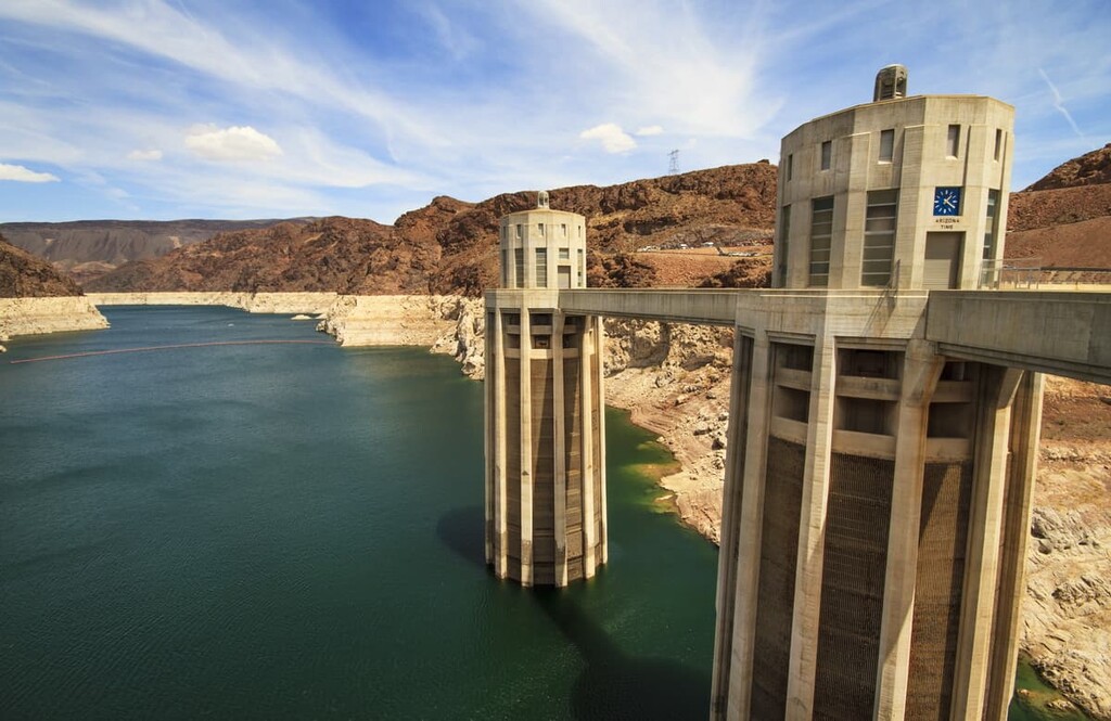
In the early twentieth century, the U.S. Bureau of Reclamation developed a plan to erect a dam on the Arizona-Nevada border to divert irrigation water to the growing southwest. In 1936, the Hoover Dam, named to honor President Hoover, was completed, creating one of the largest artificial lakes in the world, Lake Mead.
Though the Black Mountains aren’t a particularly popular tourist destination in and of themselves, Lake Mead National Recreation Area boasts a variety of water recreation activities and hiking trails. These are some of the best hiking trails and attractions in the area:
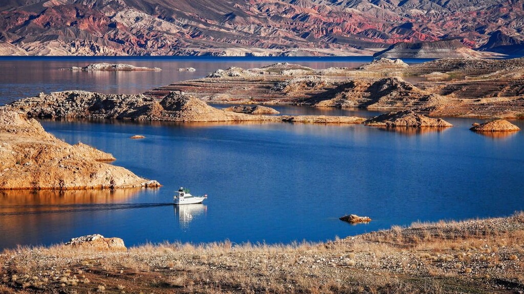
The Historic Railroad trail is a subtle and fascinating footpath that boasts beautiful vistas of the Boulder Basin and the Hoover Dam. Following the route of an early 1930s railroad, this multi-use trail meanders through incredible tunnels carved through volcanic ridges.
The railroad was originally built for hauling equipment and materials to the building site of the Hoover Dam. The tracks were dismantled in the 1960s and the tunnels and trail were nominated in 1984 to the National Register of Historic Places.
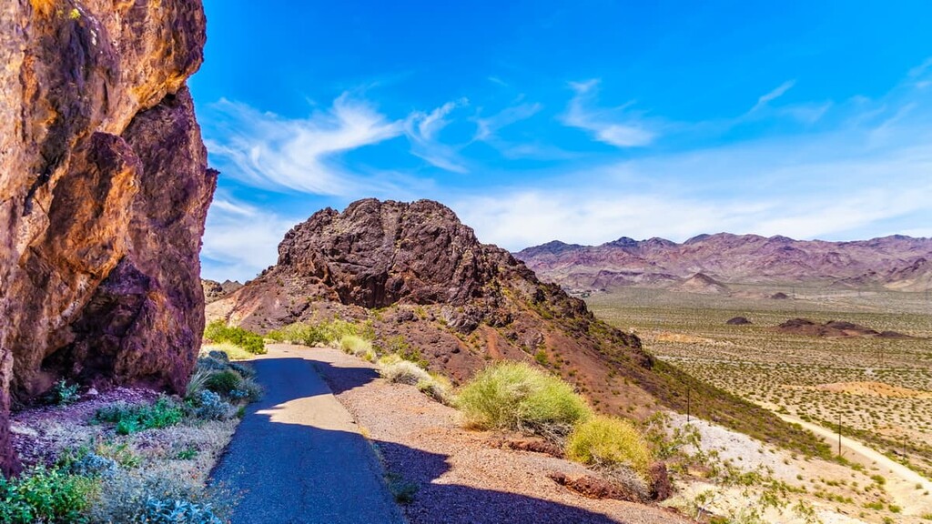
The Callville Summit is an excellent option for hikers looking to explore the area surrounding the Lake Mead shoreline. From the summit, hikers are rewarded with spectacular views of Lake Mead, Fortification Hill, Boulder Basin, Hemenway Valley, River Mountains, Black Mountains, Hamblin Mountain, the Rainbow Mountains, and the Callville Mesa.
It’s worth noting that there are a number of social trails that traverse the ridge, each leading to different vantage points. The most strenuous and direct route begins from the trash collection area near the Callville Bay campground.
One of the more popular trails in the area, the Liberty Bell Arch trail traverses over hills and through historic mining areas before passing Liberty Bell Arch and reaching an incredible overlook in Black Canyon. The trail is accessed via the White Rock Canyon trail. Due to extreme temperatures, the Liberty Bell Arch is inaccessible from May 15 to Sept 30.
The fiery Redstone Dunes were once part of a vast desert of sand dunes that have since been transformed into hard sandstone. Redstone boasts an easily accessible loop trail that wanders through the ancient dunes, as well as shaded picnic tables.
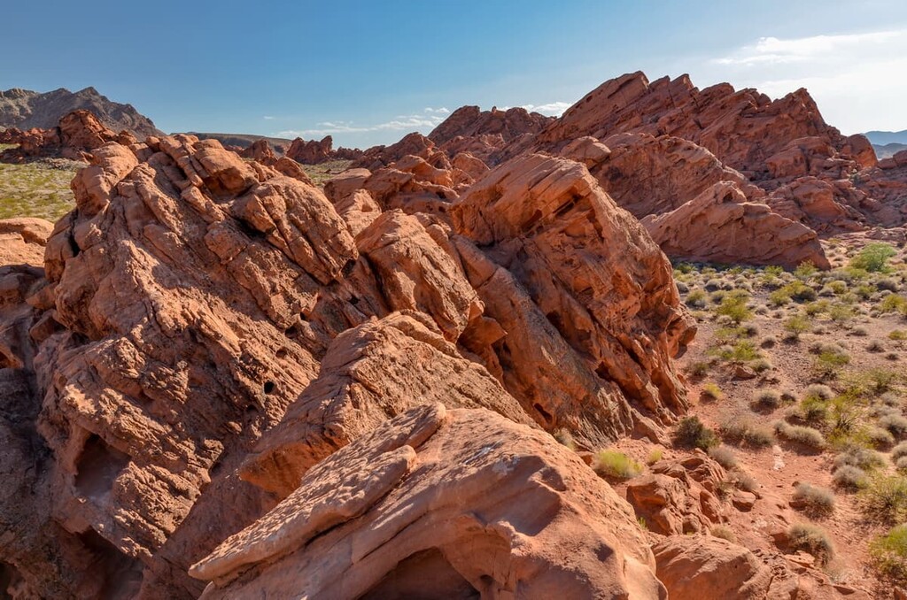
Earning its name from the barn owls that live in the canyon, Owl Canyon is a short slot canyon nestled near the edge of Lake Mead. The trail begins with a 70-foot (21 m) descent along an unmaintained footpath. The trail then climbs around a hillside toward the mouth of the canyon. Once in the canyon, hikers will be immersed in beautifully sculpted conglomerate rock.

Looking for a place to stay during your visit to the Black Mountains? Here are some of the
nearby cities and towns to check out:
The most populous city in the state of Nevada, Las Vegas is the largest city within the greater Mojave Desert and is renowned for its lively nightlife and extravagant entertainment.
Though many tourists travel to Las Vegas to experience its bright lights and lavish hotels, the city’s copious amenities and lodging options also make it an excellent destination for exploring nearby parks and wilderness areas.
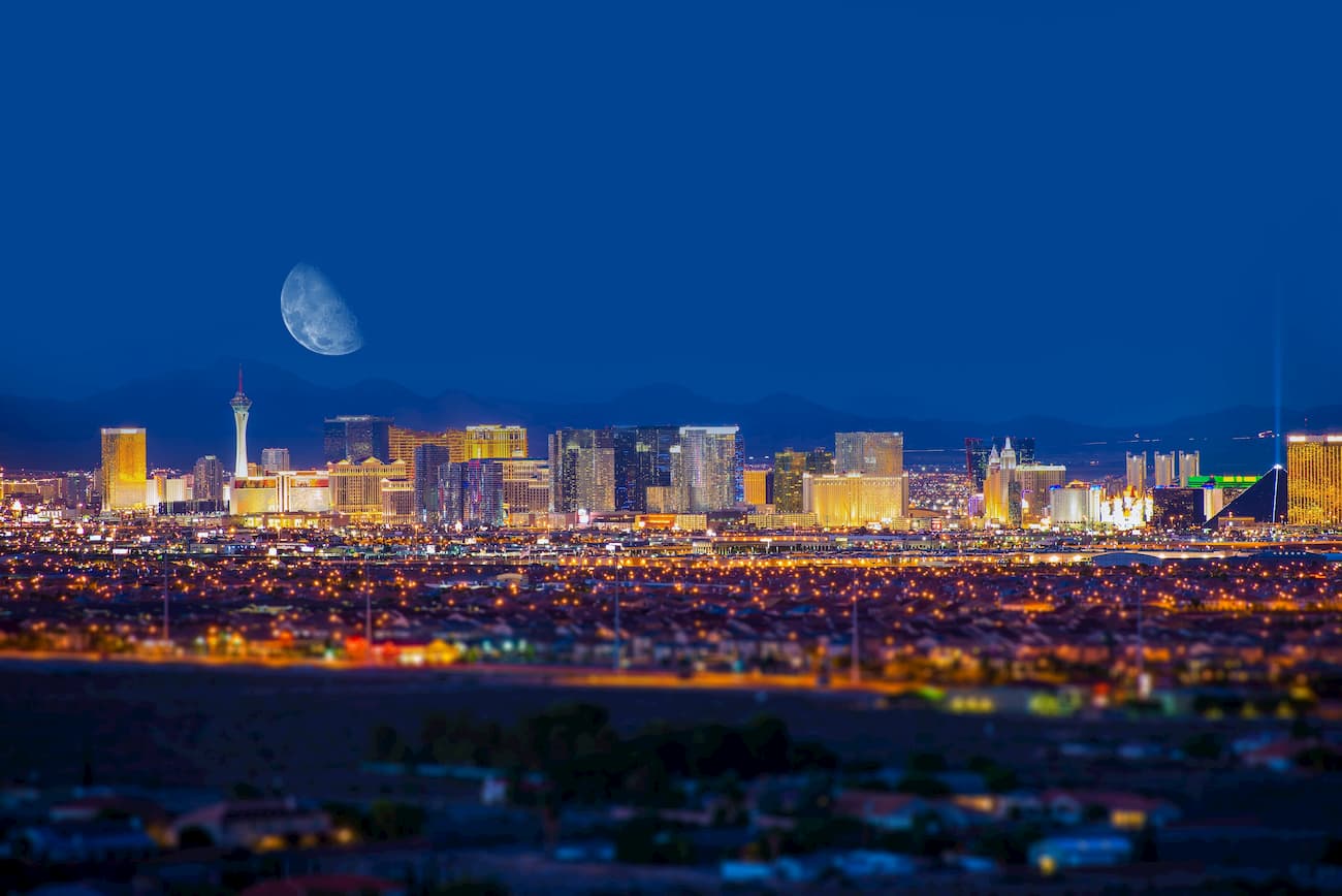
Nearby parks include Lake Mead National Recreation Area, Red Rock Canyon Conservation Area, Spring Mountains National Recreation Area, Death Valley National Park, and Valley of Fire State Park.
Home to the Hoover Dam, Boulder City is often touted as a small town with a tenacious spirit. Just 26 miles (42 km) southeast of Las Vegas and a few miles from the Lake Mead National Recreation Area, Boulder City is a quaint, family-friendly community.
Visitors to Boulder City can learn about the fascinating history of the Hoover Dam, visit the Mike O'Callaghan–Pat Tillman Memorial Bridge, or spend an afternoon exploring the nearby Sloan Canyon National Conservation Area.
Just 20 minutes from the Las Vegas strip and 15 minutes from the Las Vegas Bay Marina on Lake Mead, Henderson is one of Nevada’s fastest growing cities. Henderson has a far more laid-back, family-friendly reputation than its vivacious neighbor. However, it’s close enough to the Las Vegas strip that visitors can still easily experience the big city lights.
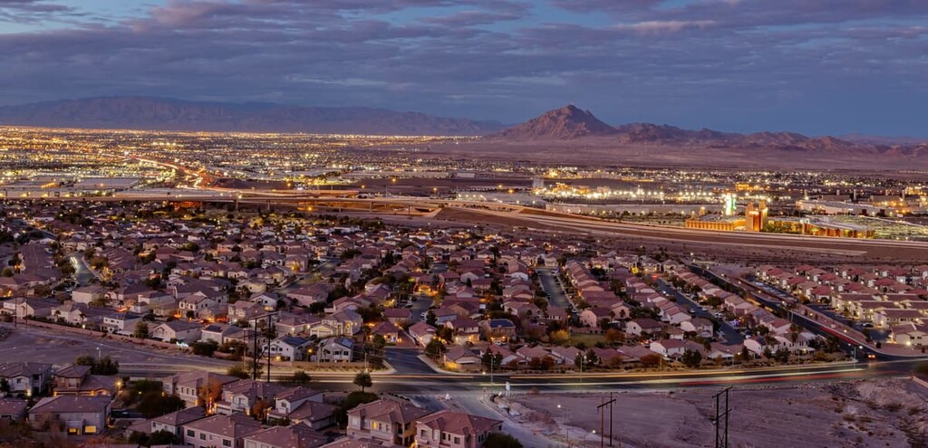
Established by Mormon pioneers, Overton lies near the Moapa Valley at the northern end of Lake Mead. Situated some 65 miles (105 km) from Las Vegas, Overton is the closest community to Valley of Fire State Park and it sits just north of the Lost City, a cultural site of the Ancestral Puebloans.
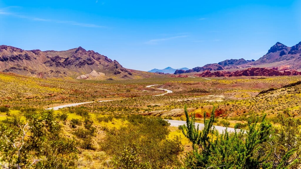
Explore Black Mountains (Nevada) with the PeakVisor 3D Map and identify its summits.


