Get PeakVisor App
Sign In
Search by GPS coordinates
- Latitude
- ° ' ''
- Longitude
- ° ' ''
- Units of Length

Yes
Cancel
❤ Wishlist ×
Choose
Delete
Home to rugged hills, sprawling deserts, montane forests, and subalpine grasslands, the Lincoln National Forest is a massive area of federally managed land located in the southeastern part of the US state of New Mexico. The forest contains 105 named mountains, the highest of which is Lookout Mountain (11,568 ft/3,526 m) and the most prominent of which is Captain Peak (10,082 ft/3,073 m).
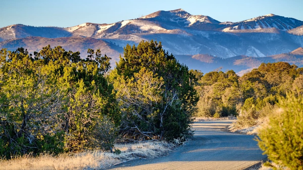
Lincoln National Forest is located in the southeastern part of the US state of New Mexico. It consists of a number of non-contiguous units of land that begin around the state’s border with Texas and extend about as far north as the community of Carrizozo.
The forest is situated within Otero, Eddy, Chaves, and Lincoln counties. Lincoln National Forest also surrounds the Mescalero Reservation of the Mescalero Apache Tribe. It is divided up into three different ranger districts and it contains a total area of 1,103,897 acres (446,731 ha).
This makes Lincoln National Forest approximately the same size as the San Isabel (Colorado), Bighorn (Wyoming), Pike (Colorado), Mount Hood (Oregon), and Lassen (California) national forests.
Lincoln National Forest is located just a short distance from a number of other major protected areas and outdoor recreation areas.
Other nearby hiking destinations to check out include White Sands National Park, Carlsbad Caverns National Park, Guadalupe Mountains National Park, San Andres National Wildlife Refuge, Sevilleta National Wildlife Refuge, Bosque del Apache National Wildlife Refuge, and the Apache Kid Wilderness.
Do note that Lincoln National Forest is also situated near a handful of large parcels of military-managed land. This includes the Holloman Air Force Base to the east and its associated White Sands Missile Range.
Most military-managed land with active ammunition testing sites are fenced off and closed to the public. But, if you’re planning on venturing off-trail, be sure to double-check that you stay on national forest, national park, national wildlife, or other public lands that are open to hikers. When in doubt, always consult a map.
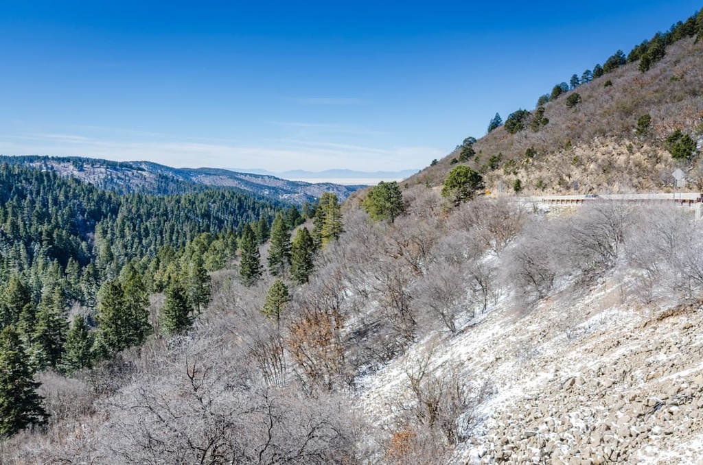
The peaks within the Lincoln National Forest are part of three mountain ranges: the Guadalupe Mountains, the Sacramento Mountains, and the Capitan Mountains.
Although there are three distinct mountain ranges in the forest, they share a similar geologic history. For the most part, the peaks in the region consist of sedimentary rocks, such as limestones and sandstones.
These rocks formed when the region was covered with a shallow sea. During this time, vast quantities of sediments are deposited on the seafloor. Over millennia, these sediments were compacted into rocks and then uplifted to form the mountains that we see today.
That being said, the mountains in Lincoln National Forest have been subjected to the erosive forces of the wind and water ever since they were uplifted from the seafloor.
For example, the region is home to a number of large caves, including the nearby Carlsbad Caverns. Additionally, the nearby White Sands National Park is home to massive sand dunes of white gypsum that was eroded away from the Sacramento Mountains.
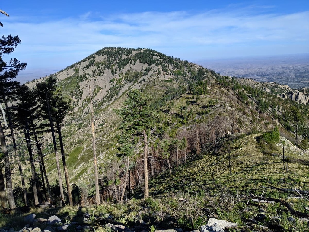
Major peaks in the forest include Lookout Mountain, Buck Mountain, White Horse Hill, Captain Peak, Nogal Peak, Cathey Peak, and Carrizo Mountain.
Lincoln National Forest is home to a diverse array of flora and fauna. The lowest elevation regions in the forest are mostly desert shrub and scrub ecosystems.
Meanwhile, the mid-elevations are dominated by forests of Engelmann spruce, piñon pine, juniper, and ponderosa pine. Finally, the highest elevations in the forest are mostly alpine meadows with flowers and grasses that can survive the frigid winters of the high alpine.
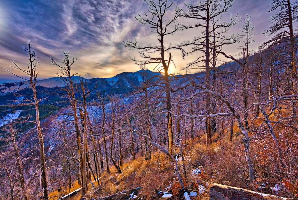
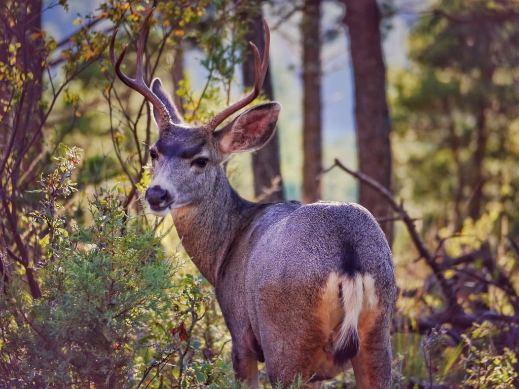
Wildlife in the forest includes everything from Merriam’s wild turkey to aoudads (Barbary sheep), black bears, mountain lions, wild horses, and Rocky Mountain elk. At lower elevations in the forest, you may also see wildlife that thrives in the desert, like the Texas horned lizard, western diamondback rattlesnake, and desert tarantula.
There are also a number of endangered species in the forest, including the New Mexico meadow jumping mouse, Mexican spotted owl, Sacramento Mountain salamander, and the Checkerspot butterfly.
The land that is now part of the Lincoln National Forest has been home to humans since time immemorial. In particular, the region is part of the ancestral homeland of the Mescalero Apache Tribe who maintain the Mescalero Apache Reservation, which is almost entirely surrounded by the Lincoln National Forest.
Much of the land around what is now the Lincoln National Forest is considered sacred to the Mescalero Apache. For most of the Tribe’s history, the Mescalero were nomadic warriors and hunters who traveled widely throughout the current states of New Mexico, Arizona, Texas, Sonora, and Chihuahua.
The first peoples of European descent to venture into the region were likely Spanish conquistadors and missionaries. It’s believed that the first Spaniards to visit the area arrived in the 1530s. In 1719, the Spanish also built a small chapel at La Luz, which is now part of Alamogordo.
However, the region around the western part of the Lincoln National Forest was not heavily settled by non-Indigenous residents until about the 1860s. By this time, the region had changed hands twice since the Spanish colonial era and, after a short stint as part of Mexico, it became part of the United States.
The arrival of the railroad in the region toward the latter part of the nineteenth century helped develop the region’s agricultural industry.
In 1873, the Mescalero Apache Reservation, which had been previously recognized by a succession of Spanish, Mexican, and American treaties, was formally designated.
In addition to the Mescalero, many Lipan Apache and Chiricahua Apache also live on the Mescalero Apache Reservation. Both the Lipan and Chiricahua Apache became members of the Mescalero Apache Tribe in 1934 after years of conflict with the US Government and other settlers.
Meanwhile, the land that is now part of the Lincoln National Forest was first protected with the establishment of the Lincoln Forest Reserve in 1902. Not long afterward, the US Government also established the Gallinas Forest Reserve, Guadalupe National Forest, and Sacramento National Forest.
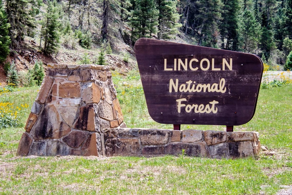
In 1908, President Theodore Roosevelt signed an executive order that effectively combined many of the national forests in the southwestern part of the US. This led to the combination of the Gallinas Forest Reserve and the Lincoln Forest Preserve. Not long after, the Lincoln Forest Preserve and the Alamo National Forest were combined to establish the Lincoln National Forest.
Many decades later, in 1945, the Lincoln National Forest was split into two sections. Part of the forest was removed and added to the Cibola National Forest. This created the forest boundaries that exist in the region to this day.
The Lincoln National Forest is home to hundreds of miles of hiking trails. Here are some of the best hikes in Lincoln National forest to check out during your next trip to the region:
The Osha Trail is a 2.5 mile (4 km) long trail that starts to the north of the village of Cloudcroft on US Highway 82. It offers relatively flat walking through a gorgeous fir forest as well as great views of the surrounding area.
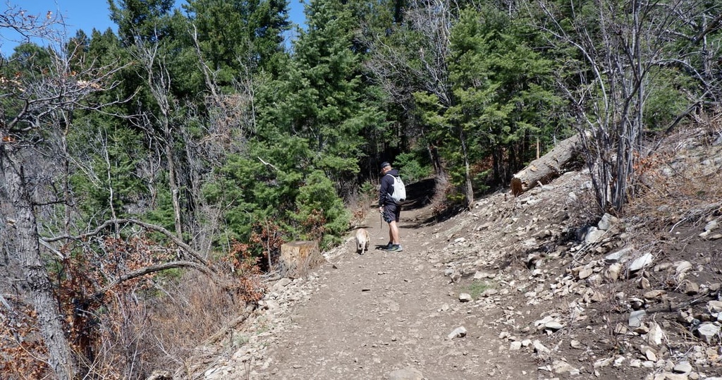
There is a decent amount of elevation gain on this hike as you’ll ascend a ridge. At the top of the ridge, you’ll be rewarded for your efforts with superb vistas of the nearby White Sands National Park.
The 7 mile (11.3 km) long Grindstone Lake Loop is a classic hiking trail in the Lincoln National Forest. It begins near Grindstone Lake and follows a scenic path around the lake.
For the most part, this trail is relatively casual and it follows a well-trodden single track, so it’s nice for families and new hikers. However, there are some switchbacks and some short ascents and descents along the way.
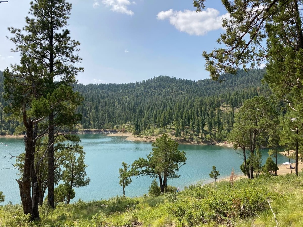
The Perk Ridge Trail is a relatively tough, yet exciting 5.4 mile (8.7 km) trail that begins on Thunderbird Drive near the village of Ruidoso. Although the trail itself is actually an out-and-back, you can turn it into a loop trail by following a footpath off the ridge and back to the parking lot.
On this hike, you’ll climb up to the top of a ridge where scenic vistas await. However, note that this is a multi-use trail, so keep an eye out for horses, OTV riders, and mountain bikers.
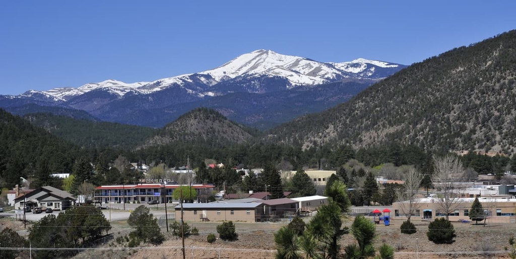
The Cedar Creek Loop is a 4 mile (6.4 km) trail that ventures into the stunning mountains surrounding the village of Ruidoso. There are actually many trails in this area, so you can extend or shorten your hike as needed.
Like most other trails in the area, however, the Cedar Creek Loop is a multi-use path. Therefore, you may share the trail with mountain bikers, motorcyclists, and horses. Pay particular attention when coming around corners on the trail so that you can avoid any collisions with bikers.
Visitors to Lincoln National Forest have a number of accommodation options to choose from. Here are some places to check out if you’re looking to stay overnight in the forest:
Lincoln National Forest is home to a plethora of campgrounds for visitors to enjoy. Each campground offers different amenities to suit campers of all experience levels and camping styles. Be sure to double-check what amenities are available in a campground (especially potable water) before you leave home.
Also keep in mind that, with the exception of most group camping areas, not all campgrounds in the forest offer reservations. Many campgrounds operate on a first come, first served basis. If a campground does offer reservations, you can usually make those reservations online at Recreation.gov or by calling the local ranger district offices directly.
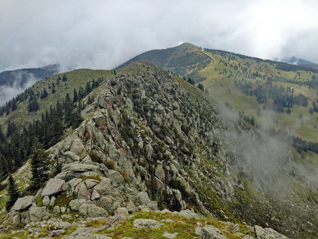
The campgrounds in the Smokey Bear Ranger District include:
Additionally, the campgrounds in the Sacramento Ranger District include:
Unfortunately, there are no public use cabins managed by the US Forest Service within Lincoln National Forest.
However, as there are private landholdings within the forest, you may find privately managed cabins for rent in the area. Websites like Airbnb and VRBO are good places to check for cabin rentals in or near Lincoln National Forest.
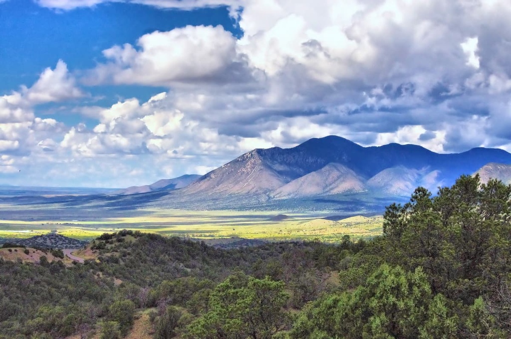
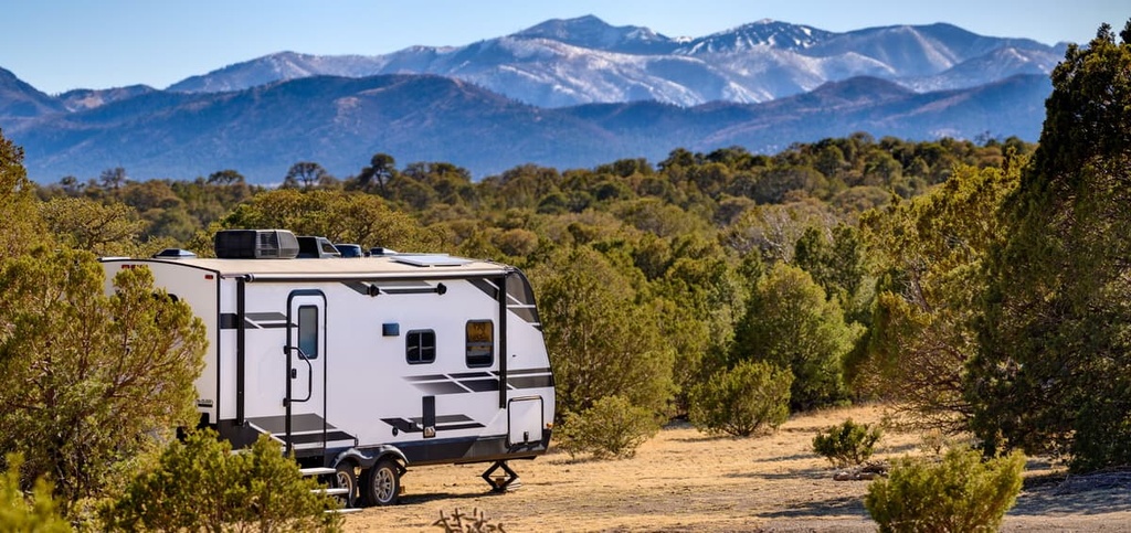
As is the case with most national forests, dispersed camping away from designated campgrounds is allowed in Lincoln National Forest.
Within the forest, you’re even allowed to drive up to 300 feet (90 m) off of a forest road (not a US or state highway) to camp in a vehicle. However, always check the Motor Vehicle Use Map for the forest before you trip to identify any roads where dispersed camping is not allowed.
Also note that there are a number of sizable private landholdings within the forest boundaries where camping is prohibited. Always double-check your location on a map before setting up camp at a dispersed campsite for the night.
Keep in mind that the Lincoln National Forest is a particularly dry region. Many areas in the forest have no water, even during the winter and spring months. Bring more water than you think you might need when dispersed camping in the forest.
The dryness of the Lincoln National Forest also poses another threat: wildfires. Forest fires are a very real threat in parts of the national forest, so it’s critical that all visitors adhere to local fire bans. Check in at a ranger station to learn more about the daily fire danger ratings and to confirm whether or not any fire bans are in effect.
Finally, be sure to abide by general Leave No Trace Principles when backcountry camping. Avoid camping directly on a trail and be sure to camp at least 200 feet (60 m) from bodies of water. Also, always pack out any trash or food that you bring into the backcountry.
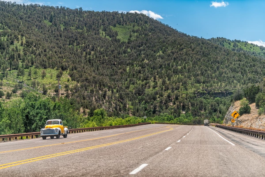
Looking for a place to stay near Lincoln National Forest? Here are some of the best nearby cities and towns to check out:
Situated just to the north of Lincoln National Forest, the town of Capitan is a community of about 1,500 people that’s nestled at the foot of the Sacramento Mountains. Captain is a relatively small town, but it has everything you’d need to kcik-start an adventure to the nearby national forest.
Additionally, Captain is famous for being the real-life version of the US Forest Service’s Smokey the Bear. Smokey was a real bear that was rescued as a cub after being badly burned during a forest fire in the 1950s.
After being saved, Smokey was sent to live at the National Zoo in Washington, DC until his death in 1976. Smokey’s remains were then returned to Capitan and he was buried at the Smokey Bear Historical Park, which is situated in the town.
Alamogordo is a city of some 30,000 residents that’s located just to the west of Lincoln National Forest. It is situated just outside of White Sands National Park, too, so it’s a great place to visit if you’re looking to check out all of the nature that the region has to offer.
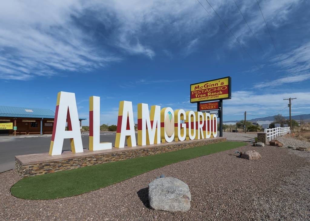
However, Alamogordo is perhaps most famous for being home to Holloman Air Force Base. It is a short drive away from the White Sands Missile Range. In 1945, Alamogordo was the site of the first-ever detonation of a nuclear device as part of the Manhattan Project.
The second-largest city in New Mexico, Las Cruces is a major metropolitan area located in the southern part of the state. It is home to about 112,000 people and it is a commercial hub for the agricultural region that surrounds the Mesilla Valley.
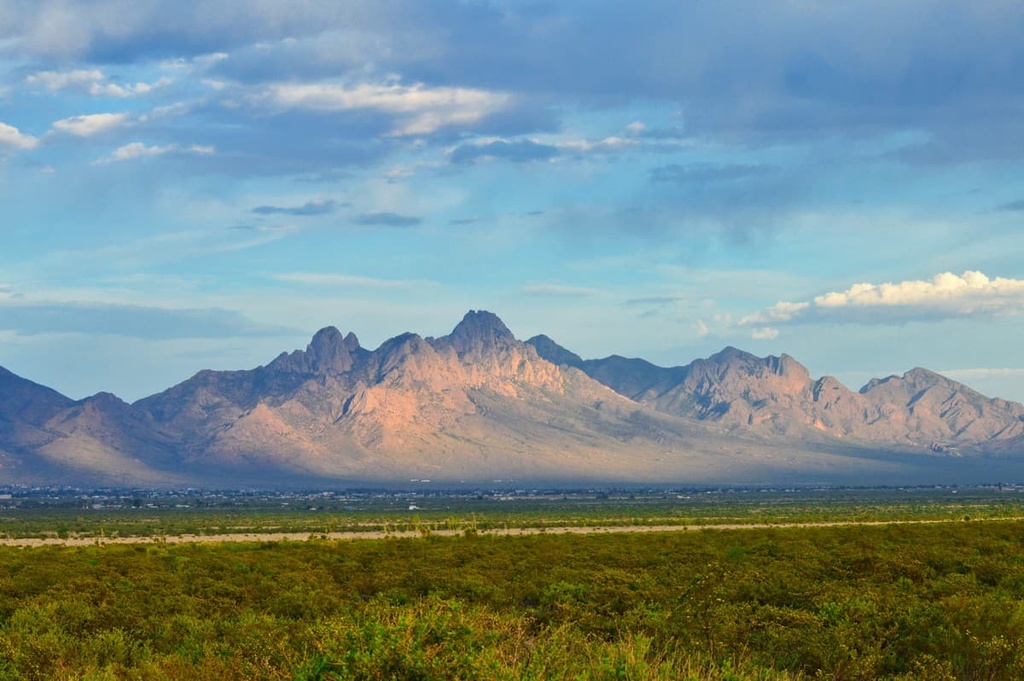
Las Cruces is also home to the scenic Organ Mountains, which are a popular hiking destination. Spaceport America, a hub for potential commercial space flights, is also located just a short distance from the city.
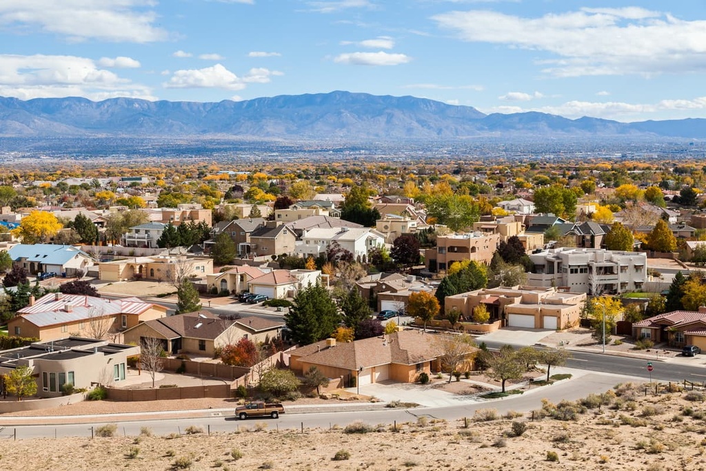
With a population of approximately 560,000 people, Albuquerque is the largest city in the state of New Mexico. It is situated to the north of Lincoln National Forest and it is the primary transportation hub for the state.
Albuquerque is a worthy destination in its own right. The city has a bustling downtown area with plenty of restaurants, shops, hotels, museums, and cultural sites to check out. Additionally, Albuquerque hosts the annual International Balloon Fiesta, which is the largest hot air balloon gathering in the world.
Explore Lincoln National Forest with the PeakVisor 3D Map and identify its summits.


