Get PeakVisor App
Sign In
Search by GPS coordinates
- Latitude
- ° ' ''
- Longitude
- ° ' ''
- Units of Length

Yes
Cancel
❤ Wishlist ×
Choose
Delete
Steeped in history and beautiful neoclassical architecture, Washington, D.C. (formally the District of Columbia) is the national capital of the United States of America. While it’s not known for being particularly mountainous, DC, as it’s commonly known, is home to 19 named high points, the highest of which is Point Reno (417 ft/130 m), and the most prominent of which is Mount Hamilton (233 ft/71 m).
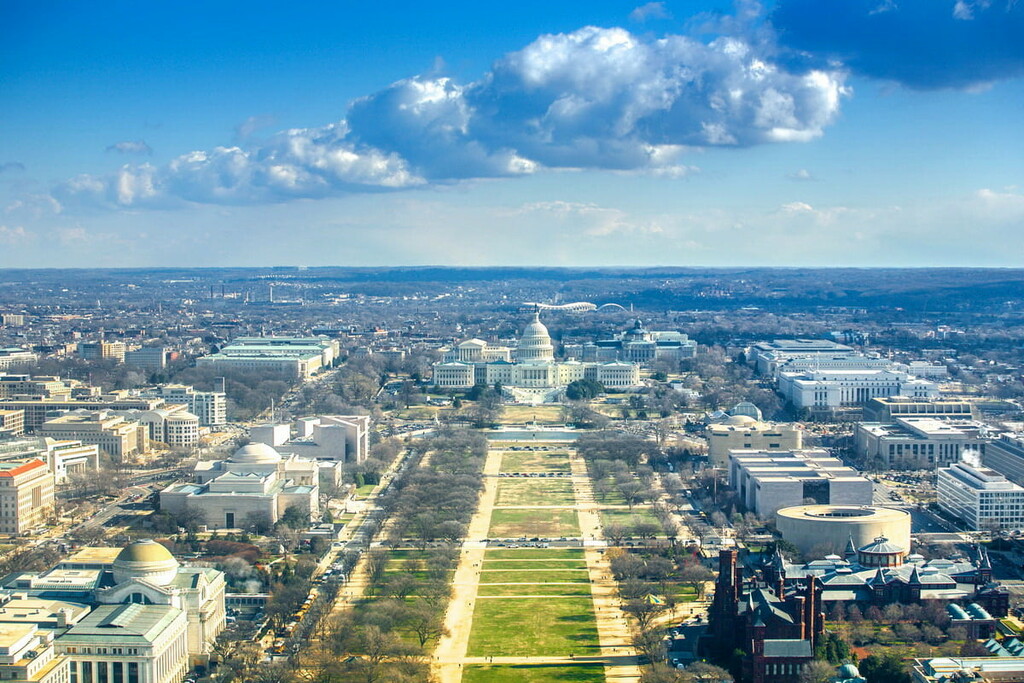
The federal district of Washington, D.C. (formally the District of Columbia) is located in the eastern part of the United States between the states of Maryland and Virginia.
Although it is not currently a state as of early 2021, DC, as it’s commonly called, is the national capital of the United States. It is situated along the Potomac River, which forms part of the border between Virginia and Maryland.
Interestingly, according to the US law, the national capital is considered to be a federal district that’s under the exclusive jurisdiction of the US Congress. Therefore, recent pushes for statehood have actually excluded the city’s federal buildings and lands from their borders as these properties can not be part of any state.
DC was initially formed out of land donated by both Maryland and Virginia. This land was initially part of both Alexandria, Virginia, and Georgetown, Maryland.
Currently, the city has a total area of some 68.34 square miles (177 sq. kilometers). With a total population of over 700,000 people, DC is the 20th largest city in the country. Although it is not currently a state, if it were, DC would be larger in terms of population than both Vermont and Wyoming, despite not having any voting members of Congress.
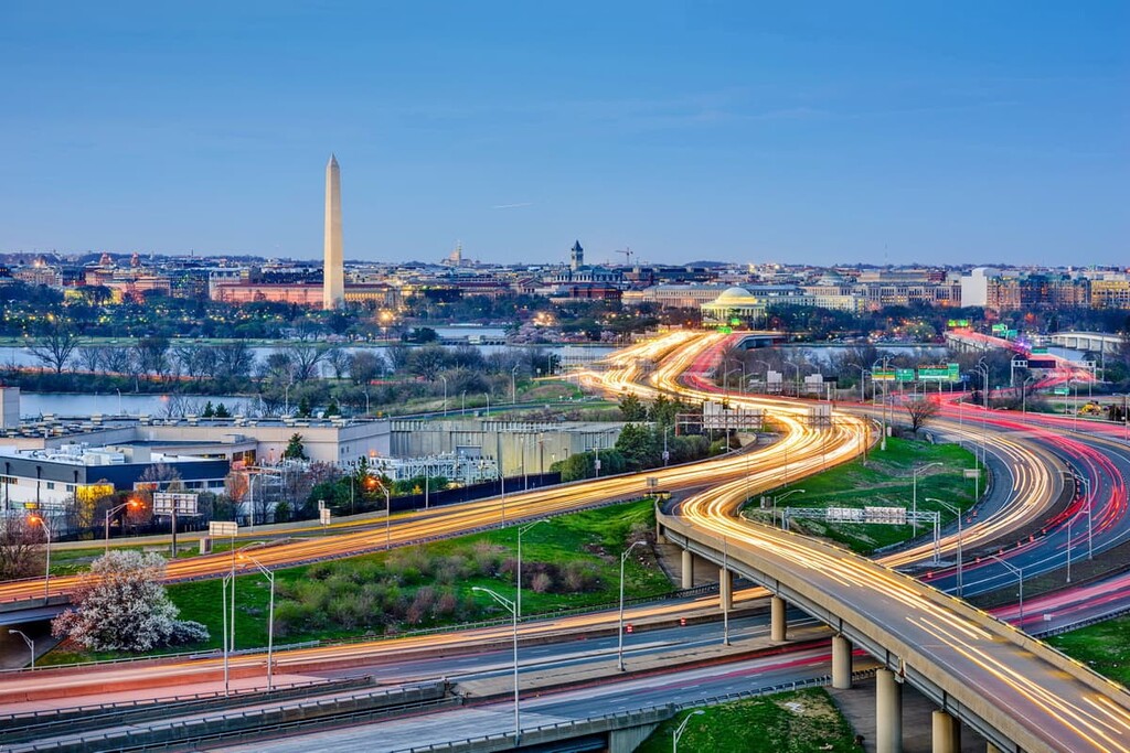
It also has more residents than Guam, the US Virgin Islands, the Northern Mariana Islands, and American Samoa combined. With the exception of Puerto Rico, it is the most populous non-state federal administrative region in the country.
Despite its small size, DC has a fairly interesting geological history. The city is located along the Potomac River within the Piedmont-Southeast Coast region of the Appalachian Mountains.
The underlying bedrock of the city is quite varied, though there are both metamorphic outcroppings that date back to the Ordovician and various sedimentary deposits from as far back as the Tertiary.
That being said, some of the current city is actually located on reclaimed land. In particular, the area that is now called the National Mall was built on land that was once rather marshy. It was partially built on the tidal flats of the Potomac and Acaostia Rivers.
Interestingly enough, there was also another body of water, Tiber Creek, that flowed near the National Mall during the early years of DC’s development.
However, by the 1870s, the city planners no longer wanted to deal with the seasonal flooding of the Mall, so they covered Tiber Creek and drained the area to make it less marshy. Tiber Creek still exists, it just happens to flow under Constitution Avenue.

Major high points include Point Reno, Good Hope Hill, Bunker Hill, Mount Hamilton, and Fairview Hill.
As one of the most densely populated cities in the United States, much of the natural landscape in Washington, D.C. no longer exists. However, there are some surprisingly large pockets of somewhat natural land that dot the landscape.
Before it was developed as the nation’s capital, DC was home to forests of the Southeastern Plains ecoregion. This ecoregion initially had both Southern mixed forests and oak-hickory-pine forests, but relatively little of that land cover remains today.
That being said, many of the tree species commonly associated with Washington, D.C. are not at all native to the region. In fact, the stunning cherry blossoms that turn DC into a gorgeous springtime destination originated as a gift from the people of Japan in 1912.
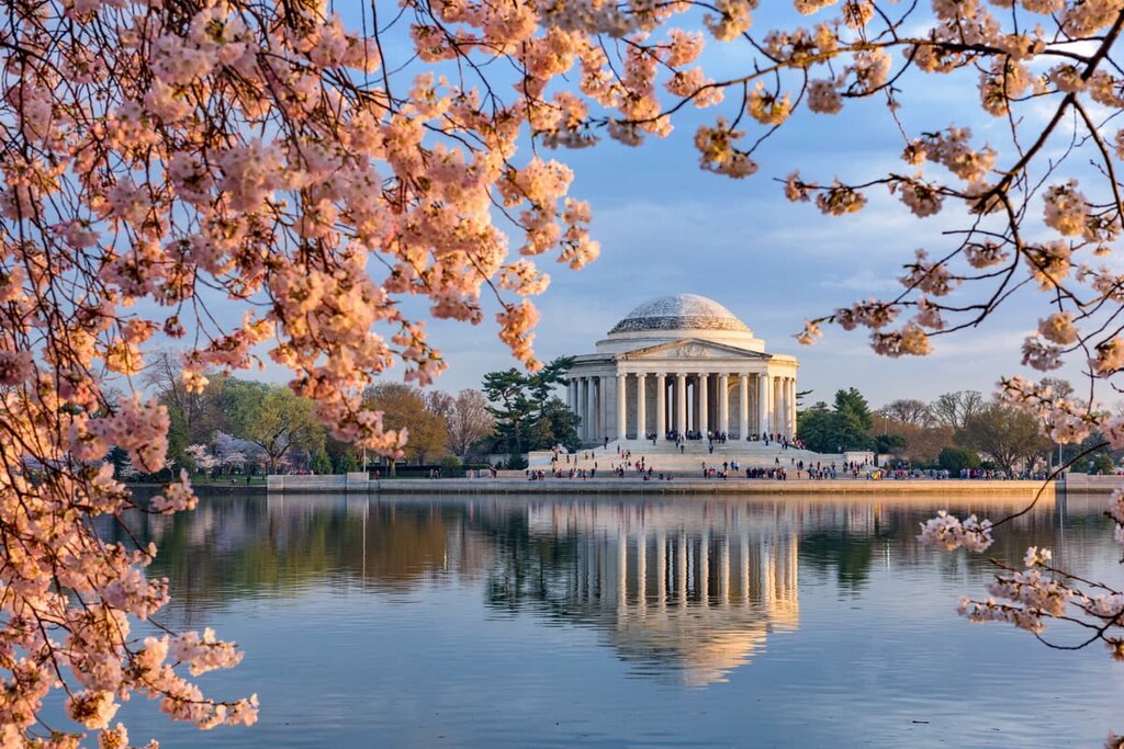
While it’s a cultivated garden, rather than a natural woodland, the US Botanic Garden is also worth a visit if you’re looking to see some stunning plant life in DC. The idea for the botanic garden actually originated with George Washington who wanted it as part of the city plan.
While the city of Washington, D.C. as we know it today was technically founded in 1790, people have been living in and around this region for thousands of years.
Although there are currently no federally-recognized tribal nations with headquarters in DC, the land is part of the ancestral homelands and traditional territories of dozens of tribal nations. Some of the many peoples with ancient ties to this land include the Piscataway Conoy Tribe, the Pamunkey Indian Tribe, and the Chickahominy Indian Tribe, among many others.

The first peoples of European descent to visit what is now the greater Washington, D.C. area were likely members of John Smith’s 1608 expedition. During this expedition, Smith traveled as far inland as the navigable head of the Potomac River, near what is now Washington, D.C.
Not long after Smith’s expedition, perpetual violence at the hands of the European settlers led to the decimation of local tribal nations and their forced displacement. Within about 40 years of European contact, it’s believed that some 75% of Indigenous peoples living in the area had died from violence or introduced diseases.
By the end of the seventeenth century, some British settlers had established a few small communities near what is now DC. One of the largest was a fort built in 1697 within the current city limits.
During the mid-eighteenth century, authorities from the colony of Maryland established the town of Georgetown while authorities from the colony of Virginia established the town of Alexandria.
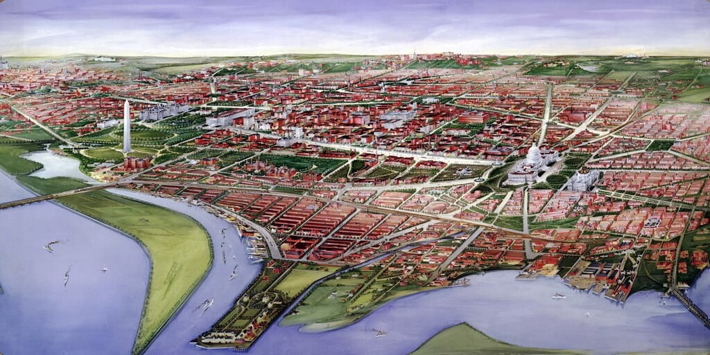
These towns flourished as shipping ports due to the navigable waterways of the Potomac. Georgetown University was also founded in the area in 1789, making it one of the older higher education institutions in the country.
When the United States gained its independence, the young country’s capital was initially located in New York City, New York. However, over the first few years of its existence, the US capital moved a number of times to locations in New York, Pennsylvania, Maryland, and New Jersey.
After the US Constitution was ratified, there was quite a lot of debate over where the nation’s capital should be located, among other things. Politicians in the northern states wanted to encourage the US federal government to assume some of the unpaid debts that the states had accumulated during the Revolutionary War. Meanwhile, politicians in the southern states wanted the federal capital to be located further to the south.
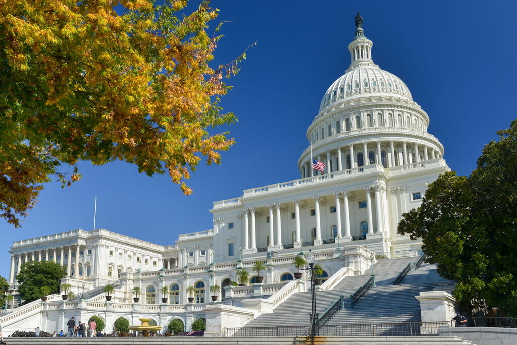
The result? Congress gave President George Washington the ability to choose a location for the new capital along the banks of the Potomac River. He, alongside famed French-American engineer Pierre Charles L’Enfant, chose the current location for the city. As a result, both Maryland and Virginia agreed to cede some of their land to create the new federal district in 1790.
After the city was established, Pierre Charles L’Enfant got to work designing a city with a grid system that centered on the new Capitol building.
Not long afterward, however, the city was sacked and burned by the British forces during the War of 1812. In the years after the war, the population of DC slowly decreased, especially after some residents voted to leave the city and rejoin the city of Alexandria.
That being said, enslaved peoples in Washington, D.C. were emancipated in 1862, after which point the city became a hub for recently-freed enslaved peoples. This led to a rapid growth of the city, especially after the Civil War.
After the war, Georgetown and other urban areas just outside the original city center voted to join DC. In 1901, the city got another makeover as the McMillan Plan redesigned parts of the city, including the National Mall.
During the mid-twentieth century, Washington, D.C. was the site of some of the most important national protests of the Civil Rights Era, including Rev. Dr. Martin Luther King, Jr’s March on Washington. The latter part of the twentieth century also saw countless protests and marches, including the Million Man March, a trend that has continued well into the twenty-first century with events like the Women's March on Washington in 2017.

However, Washington, D.C.’s history has not been without struggle. In an ironic twist of fate, the capital of a nation founded, in part, out of a rebellion against taxation without representation is not allowed any voting representatives in Congress due to its lack of statehood.
In more recent years, though, DC has established itself as a vibrant and spectacularly diverse city. It is home to well over 100 foreign embassies, countless businesses of all sizes, and some of the most iconic buildings in the United States. It is also one of the most popular tourist destinations in the country with over 20 million average annual visitors.
While Washington, D.C. isn’t exactly known for its hiking opportunities, there are plenty of great walking destinations within the city and some superb outdoor recreation locales just a short drive from city center. Here are some of the best places to check out during your trip to DC:
Washington, D.C. is a surprisingly green city. It has dozens of public parks scattered throughout its borders, including some fairly large parks that offer an excellent respite from the hustle and bustle of city life. Some of the best parks to check out include:
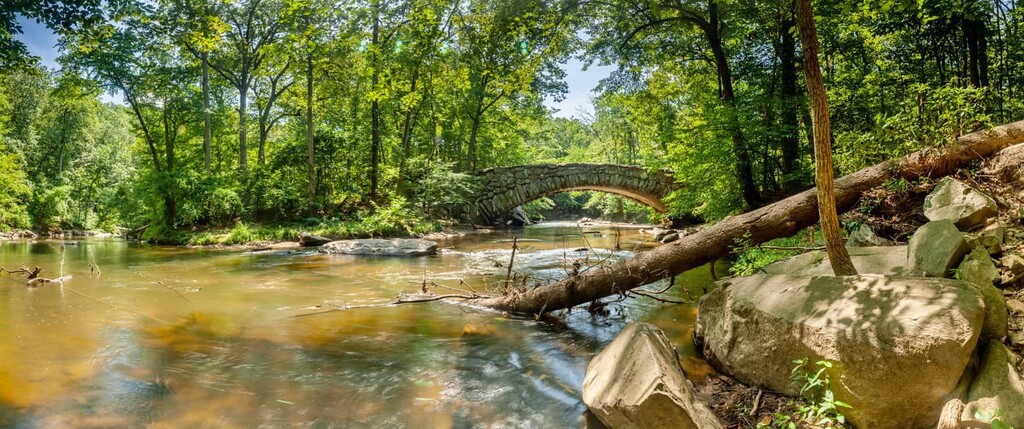
Although there aren’t many mountainous areas located in DC, there are some fantastic parks located just a short drive away. Here are some of the best hiking destinations to check out:
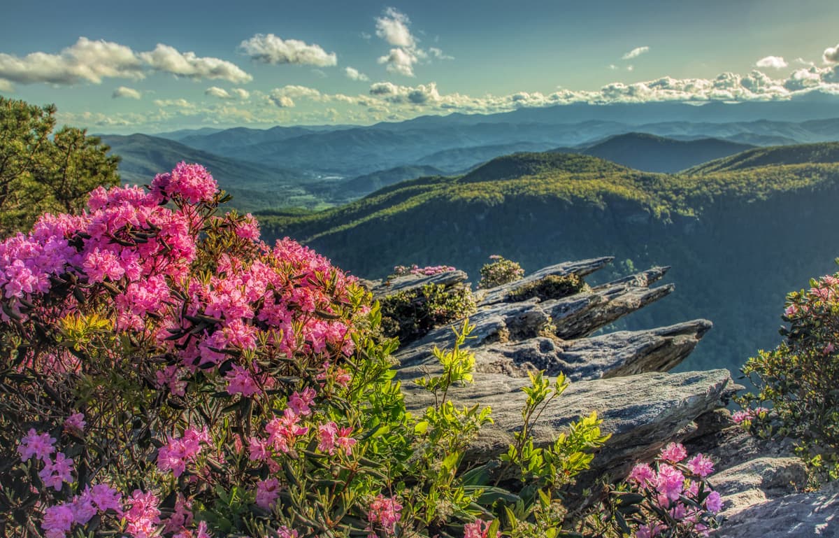
Most visitors to the DC area visit the region in the hopes of seeing some of its most famous monuments and attractions. Although you could spend years wandering the streets of DC and visiting its museums and memorials without getting a chance to see everything, here are some must-visit places in the city to check out:
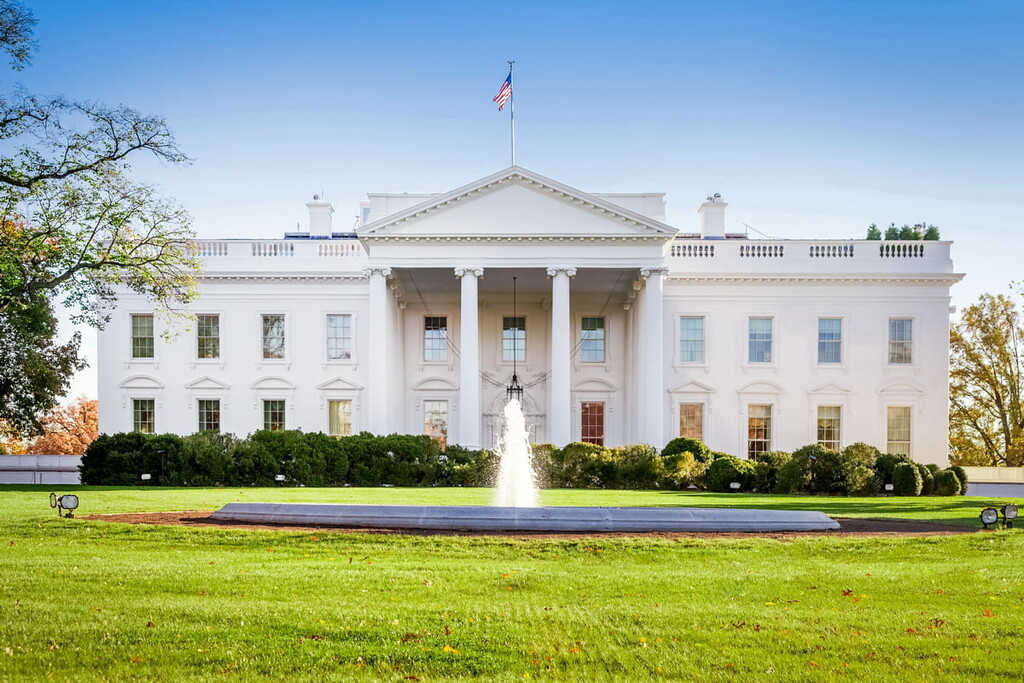
DC might cover a relatively small amount of land, but each of the city’s many neighborhoods has its own distinct charm and flair. These are some of the most notable neighborhoods in the city that are worth visiting during your travels:
One of the most famous neighborhoods in the city, Georgetown is located along the northeast bank of the Potomac River to the northwest of the White House. It is home to some stunning and quaint homes that make it a pleasant place to visit and live.
Georgetown is also home to Georgetown University, so there’s always something happening in the neighborhood if you’re looking for things to do.
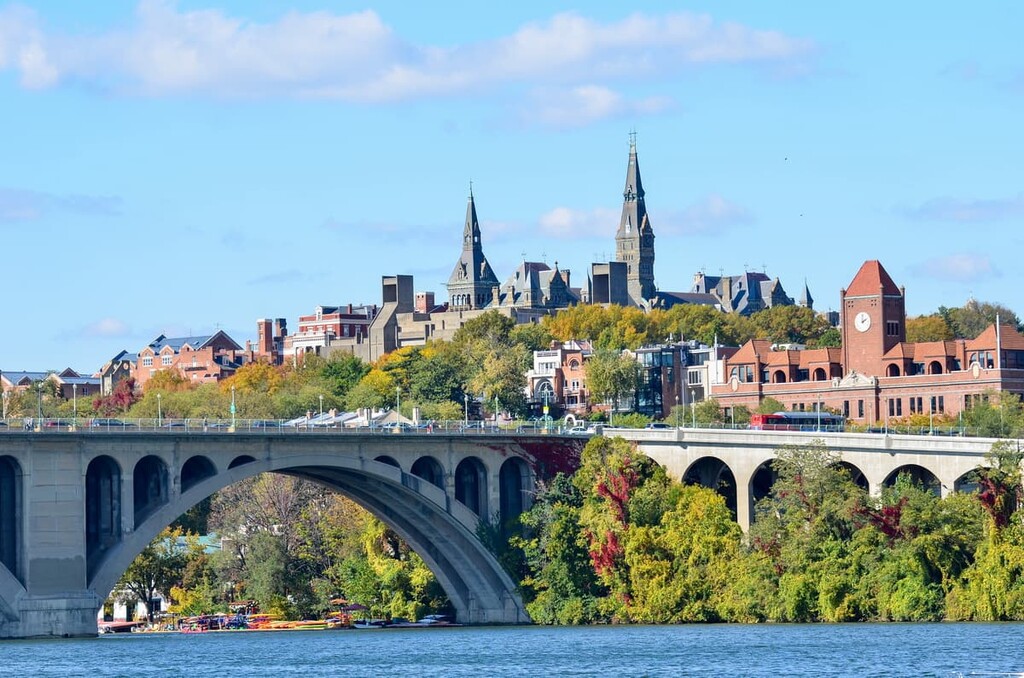
Located just to the southeast of the National Zoo, Adams Morgan is one of the main hubs of DC. It is a unique, lively neighborhood with a blend of different vibes. It has a bustling nightlife scene, fantastic boutique shops, great restaurants, and plenty of fun streets to walk down if you’re looking for a wander.
The Foggy Bottom and West End neighborhoods are located just to the west of the White House and to the east of Georgetown. These two neighborhoods are home to some of the best riverfront views in the city and they have plenty of historic homes that make any walk a fun adventure.
Plus, the diversity of shops, bars, and restaurants in these neighborhoods doesn't disappoint.
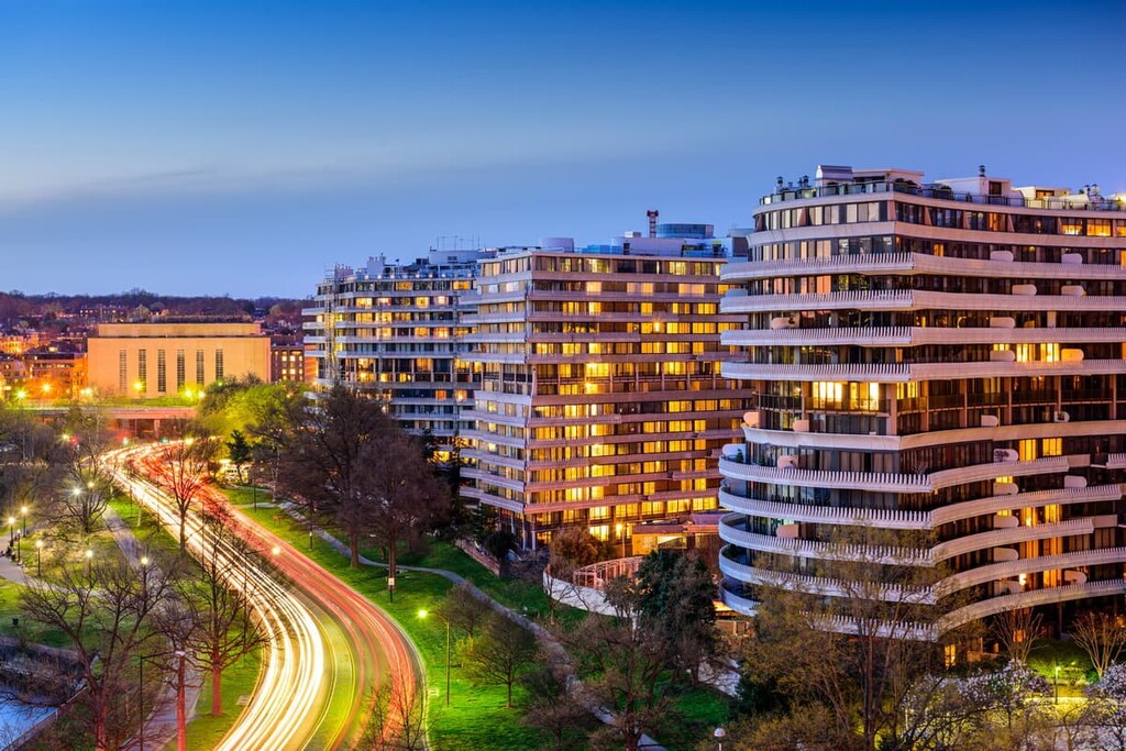
One of the fastest growing neighborhoods in DC, Navy Yard is an up-and-coming community located to the southeast of the US Capitol along the banks of the Anacostia River. As you can gather from the name, it is home to some of the oldest and largest naval facilities in the US.
However, Navy Yard is more than just a hub for the Department of Defense. It is home to the Washington Nationals baseball team and some fantastic parks for walking around. There are also great restaurants, so there’s a lot to love about this neighborhood.
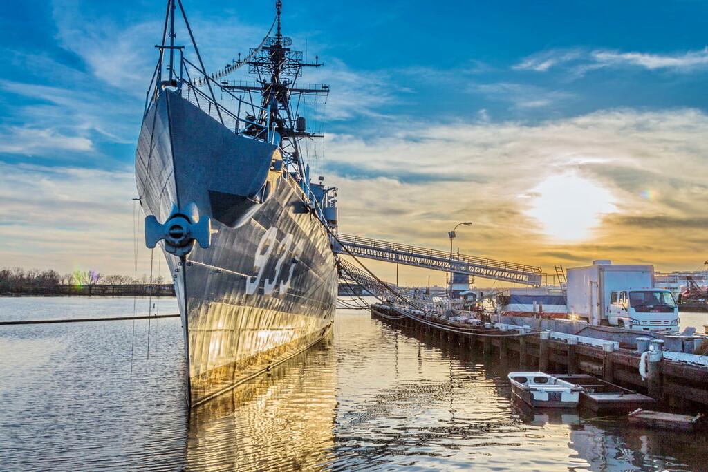
Situated just to the north of Downtown Washington and the White House, Dupont Circle is one of the most iconic places in DC. It is home to a substantial portion of the city’s many foreign embassies, some convenient Metro stations, and easy access to the city’s excellent nightlife.

Explore District of Columbia with the PeakVisor 3D Map and identify its summits.


