
Scan the QR code and open PeakVisor on your phone
Running along the long, narrow path of the Shenandoah River, Shenandoah National Park is one of the more popular national parks in the United States, with over 1.2 million visitors a year, thanks to its proximity to the greater Washington D.C. Region. The park itself encompasses a large swath of the famous Blue Ridge Mountains of Virginia, as well as the broad valley of the Shenandoah River and the rolling Virginia Piedmont hills.
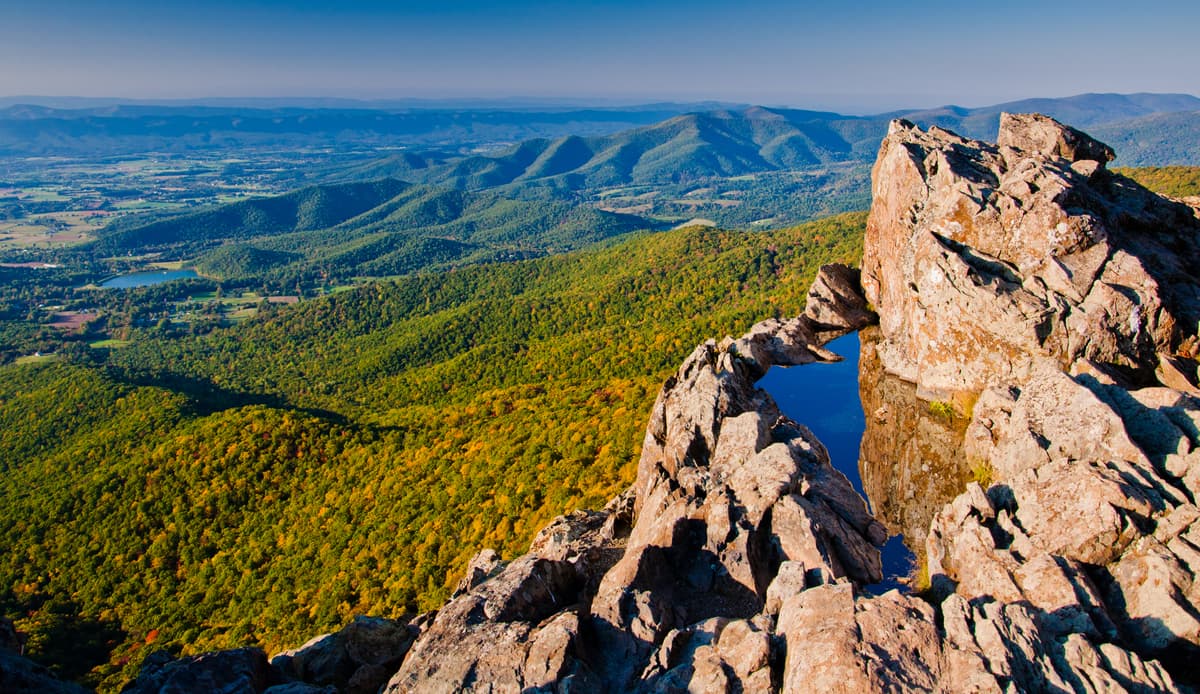
Although Shenandoah National Park gets its name from a river, the park is highly mountainous, with 93 named peaks within its borders. The highest and most prominent mountain in Shenandoah National Park is Hawksbill (4,050 feet/1,232m) of the Appalachian Range, which marks the borders between Madison and Page Counties of Virginia.
Shenandoah National Park contains 199,173 acres (806.02 sq. km) of land, though almost 40% of this area is designated as wilderness, which is protected as a part of the National Wilderness Preservation System.
Geologically, Shenandoah National Park contains a large amount of the Blue Ridge Mountain chain, which themselves are part of a high rise of land when compared to the surrounding area and the Shenandoah Valley, with some a topographical relief of upwards of 3,000 (914m) feet in some parts of the National Park.
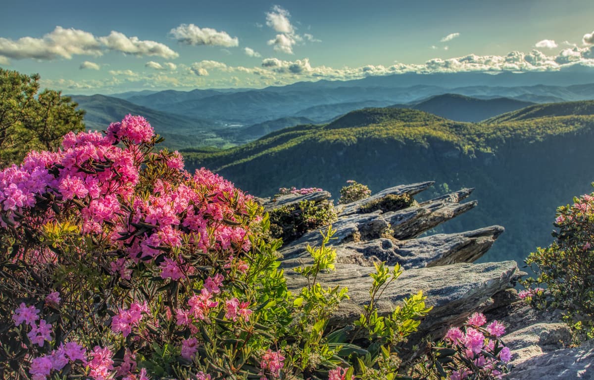
Blue Ridge Mountains
The rocks within the Blue Ridge Mountains and Shenandoah National Park are some of the oldest in the state of Virginia and in the Eastern United States, with much of the bedrock dating back 1.2-1 billion years. However, much of this ancient bedrock is covered by a relatively younger layer of Quaternary deposits that are 2.5 million years old or younger.
The peaks of the Blue Ridge Mountains and Shenandoah National Park were built during the Alleghanian orogeny, which folded, faulted, distorted, and metamorphosed the ancient rock into the mountains we see today between 325 and 260 million years ago.
Although European settlers did not come to the Shenandoah Valley until the start of the 18th century, countless generations of native peoples have considered the area to be their ancestral homelands. While a variety of different groups lived in the Shenandoah Valley prior to the arrival of the Europeans in the 1700s, the Iroquois and Shawnee Nations, as well as the Catawba, Cherokee, and Susquehannock Nations and their ancestors were the dominant cultures in the region for at least 8,000-9,000 years until their forced removal from the area.
More recently, the area that became Shenandoah National Park came onto the radar of the US Government after a bill was first introduced to Congress in 1901. Despite support from then-President Theodore Roosevelt, the bill failed in Congress. After Acadia became the first National Park in the Eastern United States in 1919, the National Park Service felt the need to create new parks int the southeastern states, thus, President Calvin Coolidge signed legislation that created Shenandoah National Park and Great Smoky Mountains National Park in 1925.
Since the park was formally designated, Shenandoah has had a tumultuous history. Over the years, the US Government sought to increase the size of the park by acquiring parcels of land from tenant farmers, homesteaders, landowners, and squatters, allowing many families to continue living on their land, particularly along Skyline Drive, however, many other subsistence workers were eventually forced out of their homes in favor of tourism in the area.
During the Great Depression, thousands of CCC (Civilian Conservation Corps) workers finished construction on Skyline Drive and on the Blue Ridge Parkway. The Corps also created plenty of trails and new facilities, which led to a drastic increase in tourism revenues.
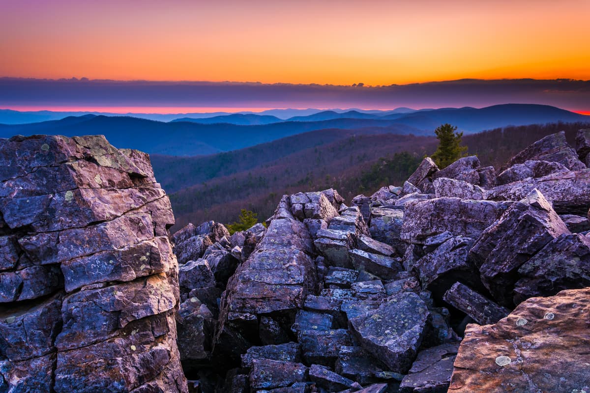
Old Rag Mountain in Shenandoah National Park
However, many of the park facilities were created for a Jim Crow-era Virginia, with substantially inferior segregated facilities and park areas. The park was not formally desegregated until a National Park Service mandate finally took hold in the early 1950s, though the effects of segregation in Shenandoah were far-reaching and were not formally recognized until fairly recently.
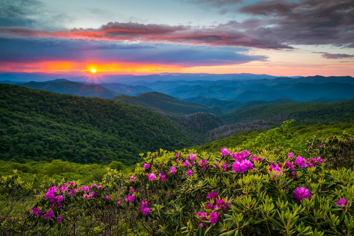
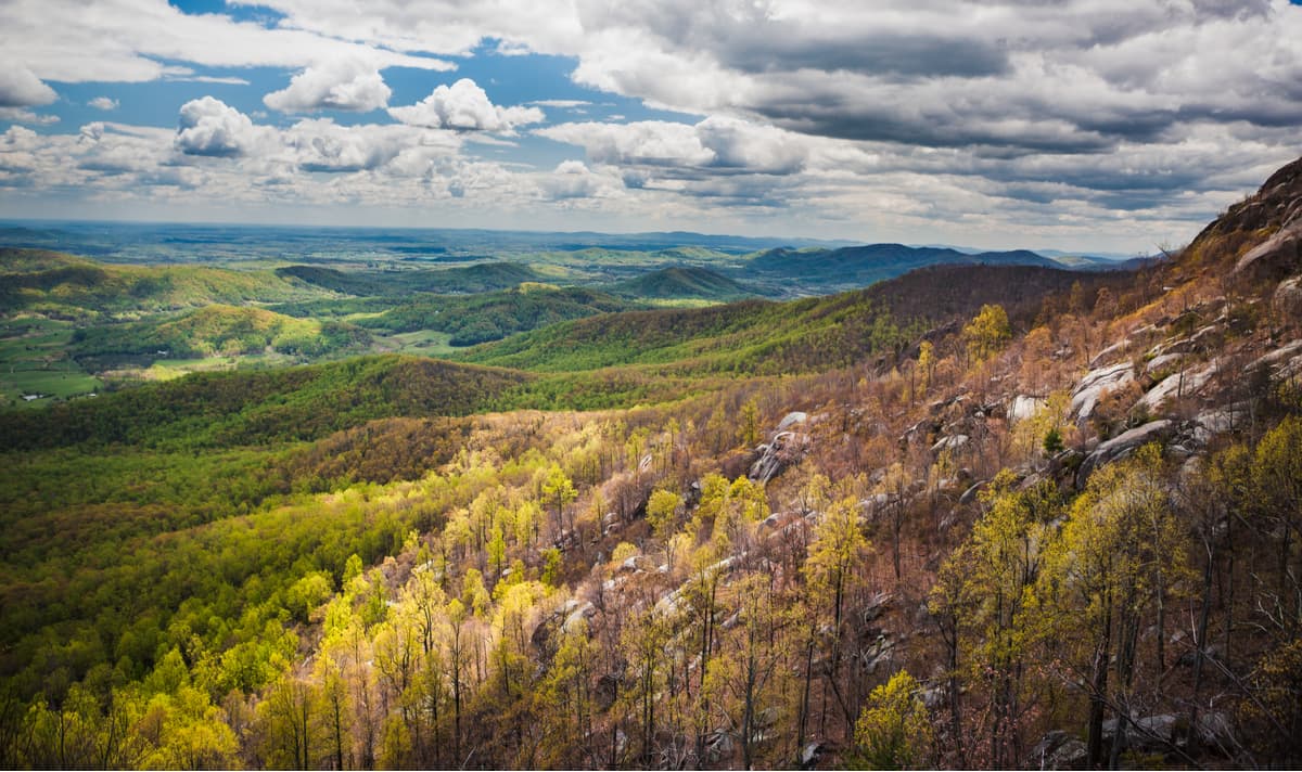
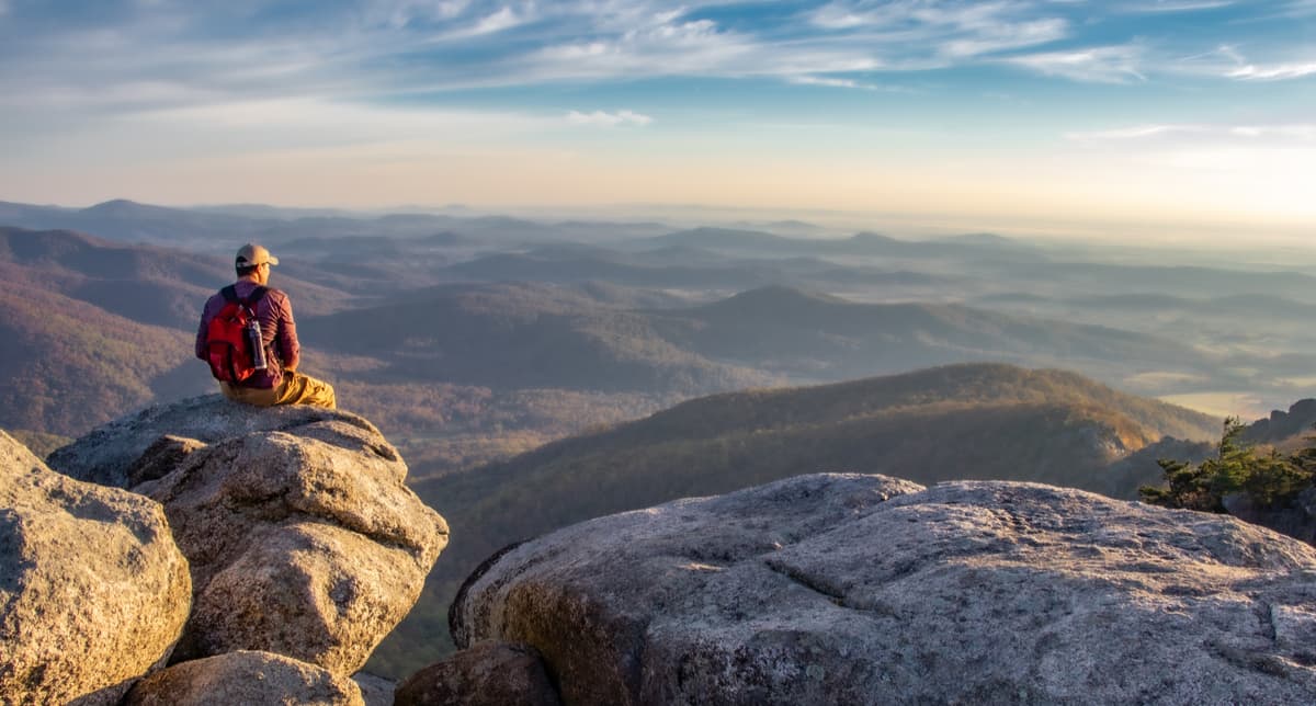
These days, millions of tourists and outdoor adventurers, alike flock to Shenandoah for a chance to experience the beauty of the Blue Ridge Mountains firsthand. The park is best known for its beautiful fall foliage season, which brings thousands of leaf peepers to drive the 105-mile Skyline Drive. From hiking to camping to rock climbing, however, whatever your adventure, you’ll be able to find it in Shenandoah National Park.
With over 500 miles of maintained hiking trails in Shenandoah National Park, it’s unlikely that you’ll run out of things to do when you’re in the area. Since there are so many options to choose from, here are some of the most popular hiking areas in Shenandoah National Park:
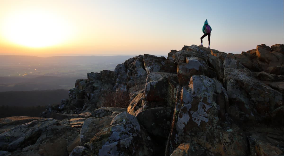
Sunrise on Old Rag Mountain in Shenandoah National Park
Although it might have a bit of an odd name that doesn’t sound very enticing, Old Rag is one of the most popular hiking destinations in Shenandoah National Park. However, Old Rag is perhaps the park’s most dangerous hike and the sheer number of search and rescue team call-outs to the area each year is a testament to how serious the hike can be.
Getting to the top of Old Rag Mountain (3,291ft/998m) requires hikers to cover about 9 miles (14.5km) of trail. However, since a significant portion of the hike requires scrambling, it’s not for people with a fear of heights, nor those who aren’t steady on their feet. However, getting to the top of the mountain can be one of the best experiences one can have in Shenandoah National Park, so if you think you’re up to the challenge, check out the Park’s webpage dedicated to climbing Old Rag.
Spring in Hawksbill Mountain in Shenandoah National Park
Hawksbill Mountain is the tallest point in Shenandoah National Park, so, naturally, it’s a popular hiking area. Thankfully, however, since the trailheads to Hawksbill from Skyline Drive are already above 3,000 feet (914m), you don’t actually have to climb too high to get to the summit. A great option for people wanting to hike to the top of Hawksbill is to take the Hawksbill Loop trail, which is a 3 mile (4.8km) roundtrip journey with moderate elevation gain.
Stony Man Loop. Shenandoah National Park
Stony Man (4,002ft/1220m) is the second tallest mountain in Shenandoah National Park and the Stony Man Loop trail takes you on a nice, 2 mile (3.2km) loop to see the surrounding area. Although the trail doesn’t take you to the top of Stony Man, you do get some incredible vistas along the way.
Blackrock Summit. Shenandoah National Park
Blackrock (3,717ft/1133m) is a peak in the southern part of Shenandoah National Park, located just past milepost 84 on Skyline Drive. A hike up Blackrock is just 1 mile-long (1.6km), but allows families with younger children to get up to a nice viewpoint to see the surrounding area.
Thanks to its location both on the Eastern Seaboard and near the Washington DC Metropolitan Area, getting to Shenandoah National Park really isn’t too difficult. Plus, easy access to the park means there are plenty of places to stay if you’re not keen to check out one of the park’s campgrounds.
Located just west of the park, Harrisonburg, Virginia is just a 35-minute drive from Shenandoah. Harrisonburg is home to some 50,000 people and has plenty of hotels, restaurants, and a vibrant city center with an abundance of museums, arboretums, and other attractions.

Well known as the home of the University of Virginia, Charlottesville is a college town that’s filled with activity. The town is considered to be a gateway to the Blue Ridge Mountains and is home to almost 50,000 people. On the outskirts of Charlottesville, you can also visit President Jefferson’s former home, Monticello, as well as President James Monroe’s former home, so its a great place to stay if you want to mix in a bit of history and culture with your trip to Shenandoah National Park.


