
Scan the QR code and open PeakVisor on your phone
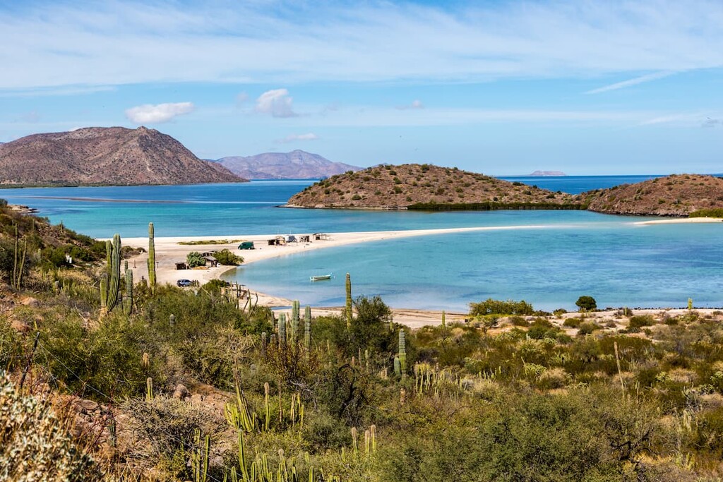
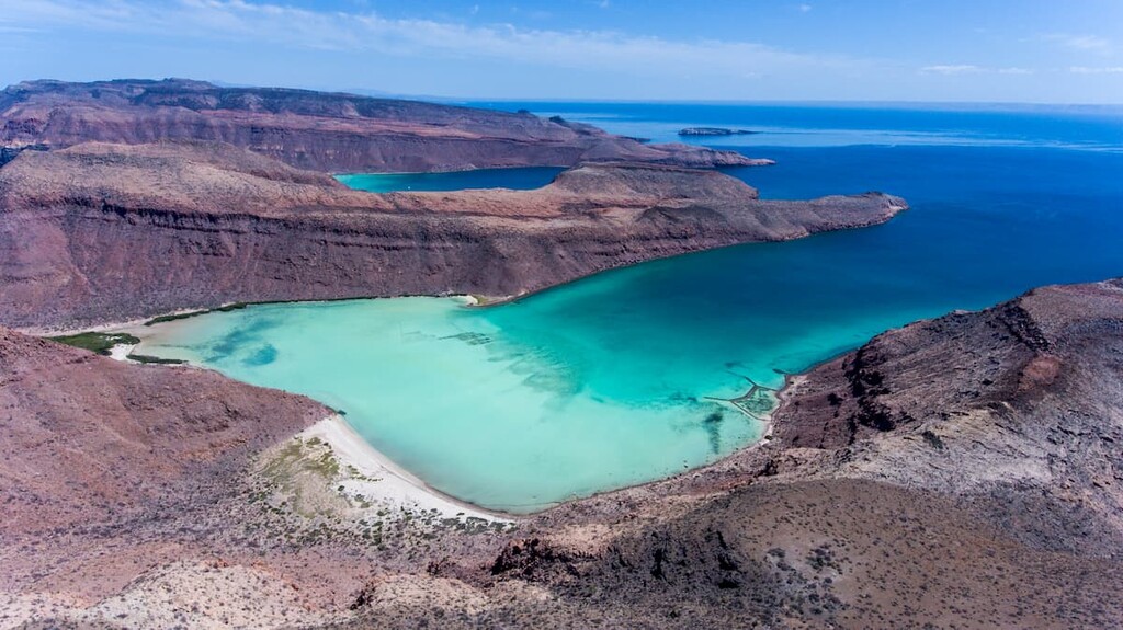
Boasting a seemingly endless stretch of sandy beaches and sunny weather, Baja California is the northernmost and westernmost state in Mexico. The state contains 671 named mountains, the highest and most prominent of which is Picacho del Diablo (3,089m/10,135ft).
The state of Baja California (officially Estado Libre y Soberano de Baja California) is the westernmost and northernmost of Mexico’s 32 federal entities. It contains 71,450 square kilometers (27,590 sq. mi) of land, which makes it the 12th largest state by area in the country.
However, with a population of around 3.4 million people, Baja California is only the 14th largest state by population and the 19th most densely populated. In fact, the vast majority of the state’s population lives in just 3 cities: Mexicali, Tijuana, and Ensenada.
Baja California shares a border with just 2 other Mexican states—Baja California Sur and Sonora— but it also happens to share a border with the US states of California and Arizona.
In fact, the shared border between California and Baja California is the largest transborder agglomeration of communities between Mexico and the United States with nearly 5 million people living within a small distance of the international border.
San Diego and Tijuana share a number of strong cultural ties and the San Ysidro/El Chaparral border crossing is believed to be the busiest in the world. The international airports in both cities are also linked by an international footbridge, which allows passengers to land at one airport, walk across the border, and catch a connection out of the other.
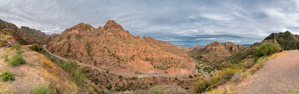
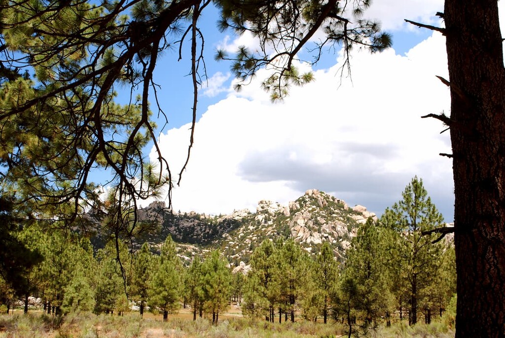
For the most part, the mountains within Baja California are part of the Baja California Ranges, which are sometimes called the Peninsular Ranges, alongside the California Ranges.
There are also a number of different protected areas in the state of Baja California. The largest is easily the Área de Protección de Flora y Fauna Valle de los Cirios (Valle de los Cirios Flora and Fauna Protection Area), which covers about one third of the state of Baja California. On the southern side of the state’s border with Baja California Sur, Valle de los Cirios also borders the Reserva de la Biósfera El Vizcaíno (El Vizcaíno Biosphere Reserve).
Other protected areas in the state include Isla Ángel de la Guarda, which is a small island in the Gulf of California, as well as the Parque nacional marino Archipiélago de San Lorenzo in the Gulf of California, Parque nacional Sierra de San Pedro Mártir, and Parque nacional Constitución de 1857.
Within the state of Baja California, the mountains are part of a range known as the Peninsular Ranges (also called the Baja California Ranges). These mountains actually stretch down the coast of the southern part of the US state of California and down toward the tip of the Baja California Peninsula.
Moreover, the mountains are part of an even bigger system of ranges known as the American Cordillera, which runs from the Brooks Range of Alaska all the way down to the Andes in Argentina and Chile. It also includes other linked coastal ranges such as the California Ranges, the Northwest U.S. Coast Ranges, and the Canadian Coast Mountains in Canada.
Within the state of Baja California, however, the local geology is quite complex. The entire peninsula actually has some 5 different geologic provinces, each of which has its own unique geologic history.
The early stages of the formation of the peaks within the state of Baja California started back in the Mesozoic. During this time, the Pacific Plate subducted under the North American Plate, creating a massive metamorphosed granitic batholith that underlies the majority of the Peninsular Ranges.
Not long afterward, by the Cenozoic, the subduction of the Pacific Plate began to slow. This eventually led to the formation of the famous San Andreas Fault and the start of widespread tectonic activity in the area.
The middle Cenozoic also saw the formation of a major rift area to the east of the state of Baja California. This rift eventually became the Gulf of California which we see today. That being said, the Gulf didn’t really start to fill with water until about 5 to 10 million years ago, so the region is fairly young from a geological perspective.
Major peaks in the state include Picacho del Diablo, Cerro La Sandia, Cerro de Cedros, Botella Azul, and Cerro Cerpula.
Despite being relatively small in size, the state of Baja California is home to an impressive diversity of ecosystems. In fact, there are 4 primary ecoregions found within the state, each of which has its own unique flora and fauna.
Encompassing much of northern Baja California, the California Chaparral and Woodlands ecoregion, and its subecoregion, the California coastal sage and chaparral ecoregion, are known for the Mediterranean climate.
Typical of the chaparral found throughout the southern part of the US state of California, this ecoregion boasts sage scrub, prairie, oak woodlands, pine forests, wetlands, and other typical plant communities.
However, sagebrush and other similar plants are the most dominant in the region, particularly at lower elevations. At higher elevations, one can find sugar pine, Jeffrey pine, coulter pine, incense cedar, ponderosa pine, Monterey cypress, gowen cypress, and Sargent’s cypress.
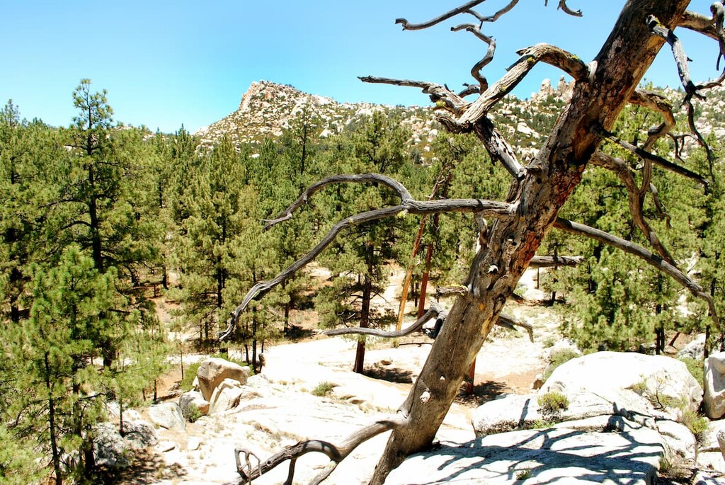
One of the smallest ecoregions in the state, the Sierra Juárez and San Pedro Mártir Pine-Oak Forests cover an area of about 4,000 square kilometers (1,500 sq. mi) in the northern part of Baja California.
This ecoregion, which includes the small mountain range known as the Sierra de San Pedro Mártir is mostly located in northern Baja California. It is considered to be temperature and predominantly coniferous, which is unique for the otherwise arid region.
Much of the forest cover in the ecoregion is pine, oak, fir, and juniper. More specifically, species that can be found in the ecoregion include tamarack pine, Jeffrey pine, sugar pine, parry pinyon, California incense cedar, white fir, Engelmann oak, coast live oak, Baja oak, canyon oak, aspens, island oak tecate cypress, and San Pedro Mártir cypress. Technically speaking, one can also find California fan palm in the ecoregion, too.
Holding the title as the hottest desert in all of Mexico, the Sonoran Desert includes a section of extreme northeast Baja California, as well as parts of California, Arizona, and the state of Sonora.
With a total area of 260,000 square kilometers (100,000 sq. mi), however, it is smaller than the largest desert on the continent, which is Chihuahuan Desert to the east in Texas, Arizona, New Mexico, Chihuahua, Coahuila, Durango, Zacatecas, and Nuevo León, that has an area of over 500,000 square kilometers (190,000 sq. mi).
As one expects from a hot desert landscape, only the heartiest of plants and animals can thrive in this climate. Nevertheless, the Sonoran Desert is a surprisingly biodiverse area, with a great collection of agave, palm, cacti, and legume plants.
Some of the most famous flora in the desert include the staggering saguaro cactus, the cholla cactus, the organ pipe cactus, and the prickly pear cactus. However, much of the landscape is dominated by creosote bush and sage.
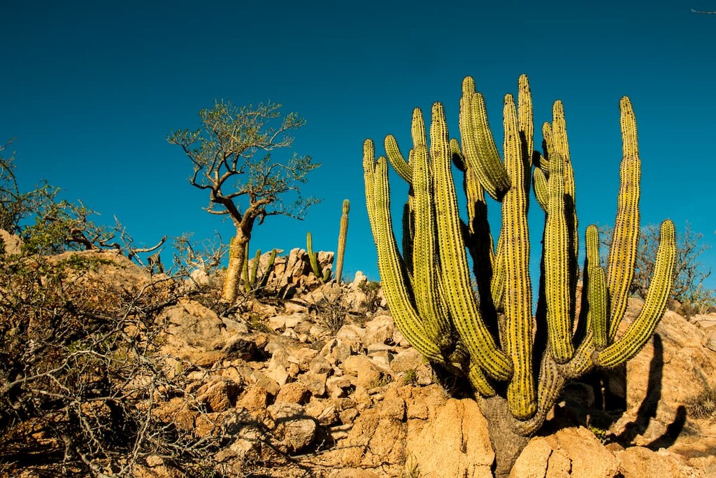
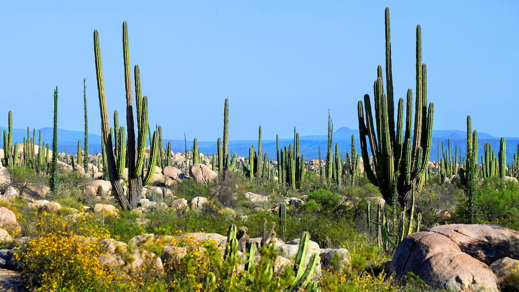
The largest of the ecoregions in the state of Baja California, the Baja California desert includes some 77,700 square kilometers (30,000 sq. mi) throughout the entirety of the Baja Peninsula. Within the state of Baja California, this includes all of the southern part of the state as well as the majority of the central and southern west coast regions.
As the name suggests, the Baja California Desert is a desert. It is fairly arid, though it is not as hot nor dry as the nearby Sonoran Desert. Technically, it has a dry subtropical climate, though there is a decent amount of humidity in the region due to its proximity to the Pacific Ocean.
Plant cover in the Baja California Desert is predominately xeric shrubs, though there are quite a few unique endemic trees in the region. This includes the Creeping Devil succulent (Stenocereus eruca) as well as the stunning Boojum tree (Fouquieria columnaris).
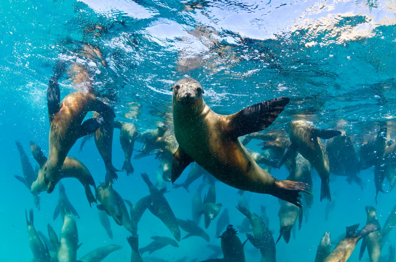
Wildlife in the ecoregion includes mule deer, Baja California pronghorn, desert bighorn sheep, Baja California rock squirrel, and the San Quintin kangaroo rat. The region is also a stopping point for dozens of different duck and geese species during their annual migrations.
The area that is now the state of Baja California has been inhabited by humans for tens of thousands of years. What is now Baja California is part of the ancestral homelands and traditional territories of many Indigenous peoples, including the Quechan, the Cocopa, the Paipai, the Kumeyaay, and the Kiliwa, among others.
The first people of European descent to have visited the region were likely members of Spaniard Hernán Cortés’s 1536 and Francisco de Ulloa’s 1539 expeditions, which travelled along the coasts of the peninsula. Not long after, Hernando de Alarcón also made his way through the region, though Juan Rodríguez Cabrillo’s 1542 expedition is perhaps the most famous.
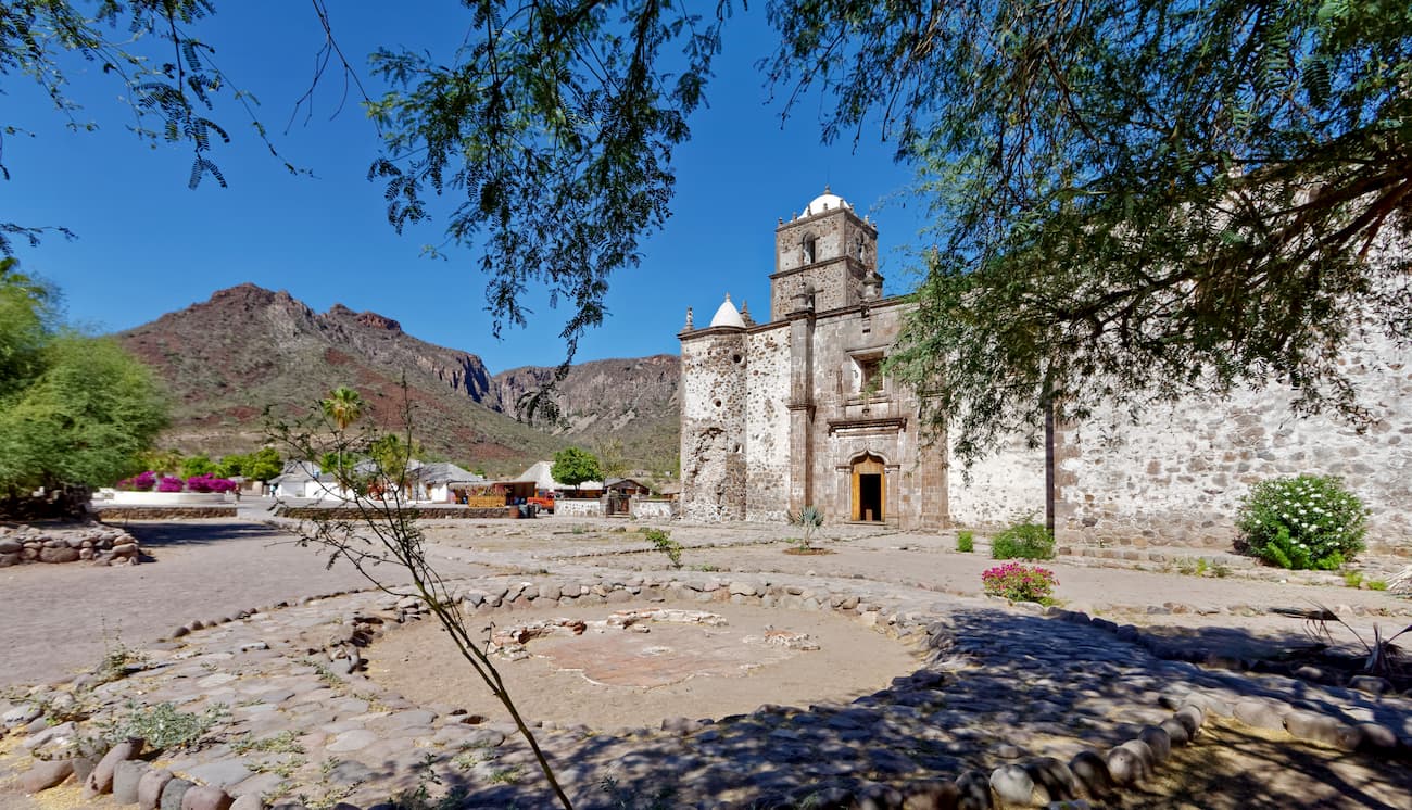
The first permanent Spanish mission in the region was established in Loreto in the late 1600s, though Loreto is now located within Baja California Sur.
Indeed, the first real attempts at European settlement of what is now Baja California didn’t happen until the mid 18th century when Ferdinand Konščak of Croatia ventured into the northern part of the peninsula. Following his ventures, the Jesuits then established missions such as Santa Gertrudis, Santa María, and San Borja in the mid 1700s.
The Jesuits were later expelled from the region in 1768, which led to a short period of Franciscan control that eventually gave way to the dominicans. Then, in 1804, the Spanish Empire divided the entirety of what they called California into Alta California in the north (includes parts of modern California, Arizona, Nevada, Utah, Wyoming, Colorado, and New Mexico) and Baja California, which includes the modern-day states of Baja California and Baja California Sur.
Mexico, of course, gained independence in 1821, though they later ceded Alta California to the United States in the aftermath of the Mexican American War after signing the Treaty of Guadalupe Hidalgo. Meanwhile, all of the Baja Peninsula remained under Mexican control.
In the 1870s, gold was discovered at a place known as Japa to the northeast of Ensenada, which led to a small gold rush in the region. However, this was short-lived and the mines eventually closed.
The region played an important part during the Mexican Revolution in the early 20th century, as Ensenada was used as a headquarters for multiple military and political purposes.
By the 1950s, Baja California had become its own state, which is now comprised of 6 municipalities (municipios)— Mexicali, Ensenada, Tijuana, Tecate, San Quintín, and Rosarito.
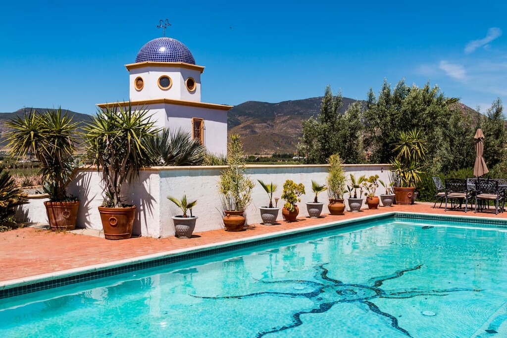
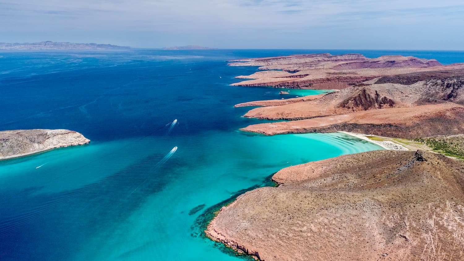
These days, Baja California remains a popular destination for tourists, particularly from the United States and Canada. In fact, it is also a popular destination for expatriates from the United States, who come to the region to take advantage of its affordable prices and beautiful beaches.
With about one-third of the state covered in protected land, Baja California is a fantastic place to visit if you’re looking for outdoor adventure. Here are some of the best places to check out in the state:
Área de Protección de Flora y Fauna Valle de los Cirios is a massive area of protected land that encompasses nearly all of southern Baja California. It contains 195 named mountains, the highest and most prominent of which is Cerro La Sandia.
The park is a major wildlife protection area, which is designed to protect the region’s scrub landscape. It is known for its namesake cirio trees and it is home to mostly undeveloped land.
The reserve is known for its excellent wildlife-spotting opportunities. On a hike in the park, you might have the opportunity to see a whole host of different fauna, including coyotes, deer, mountain lions, chameleons, bighorn sheep, and a number of different birds of prey.

Small but mighty, the Parque Nacional Constitución de 1857 is located in northern Baja California in between Mexicali and Ensenada.The park contains just 1 named mountain, Cerro Hansen.
Within the park, there are a number of different ecosystems for visitors to enjoy. In fact, despite its small size, the park contains a handful of lakes, beautiful forests, and fantastic hiking opportunities. The park contains part of the Sierra de San Pedro Mártir, as well as excellent habitat for some notable wildlife species, such as bighorn sheep.
Plus, the park is one of the few places in the region that experienced reliably sub-freezing temperatures in the winter. Many of the park’s lakes will freeze in the winter and snow is fairly common during the colder months of the year.
Looking for a place to stay in Baja California? Here are some of the best places to check out:
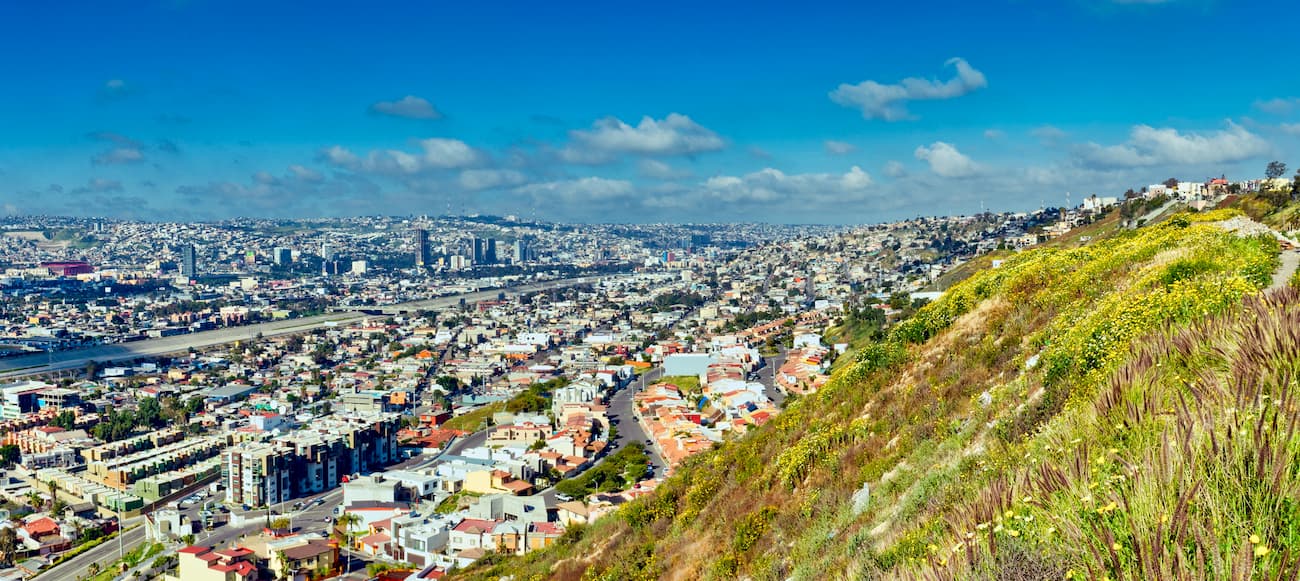
Easily the largest city in the state of Baja California, Tijuana is home to some 1.6 million people who live directly across the border from San Diego, which has another 1.5 million people in its metropolitan area.
Tijuana is a major cultural and commercial hub for the entire region and its transborder agglomeration with San Diego is one of the largest on the continent. It is also home to a major international airport which allows for passenger connections to San Diego, another major international airport in California.
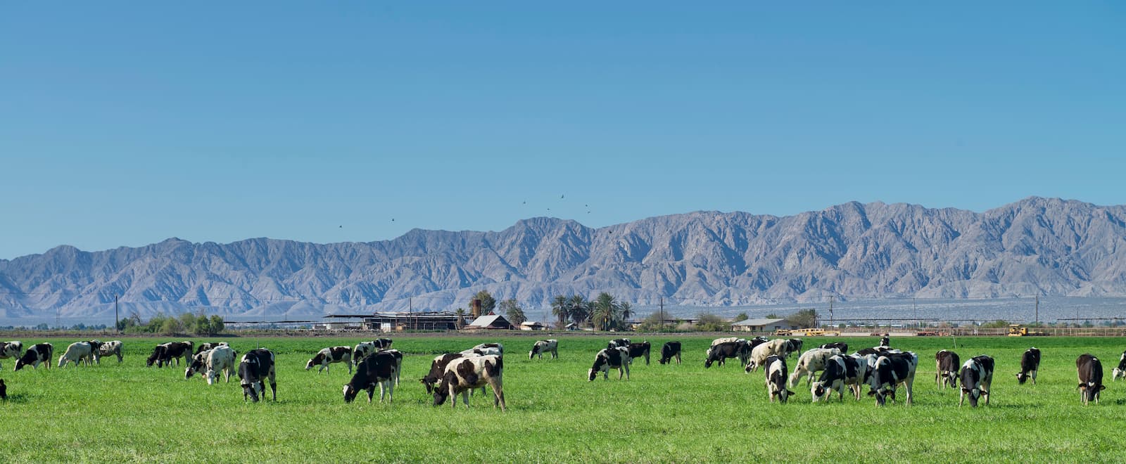
Baja California’s capital, Mexicali is located along the Baja California-California border in the northern part of the state. The city is home to over 680,000 residents, which makes it the second largest in Baja California.
These days, Mexicali has a heavily agricultural economy, though there are also many maquiladoras (tariff-free manufacturing plants), which rely on transborder trade.
Plus, the name Mexicali is a fantastic portmanteau of Mexico and California, as is its neighboring city of Calexico (California and Mexico), which is located north of the border.
One of Baja California’s major coastal cities, Ensenada is the third-largest city in the state with some 280,000 people living in the metropolitan area. It is now a popular cruise ship destination and tourist spot, thanks to its Mediterranean climate and mild weather conditions.
Ensenada is also located near both Parque Nacional Constitución de 1857 and Parque nacional Sierra de San Pedro Mártir, which offer great hiking opportunities.


ultra
sierra-club-desert
desert-peaks-section-emblem
mexico-ultras
ultra
sierra-club-desert
desert-peaks-section-emblem
mexico-ultras


