
Scan the QR code and open PeakVisor on your phone
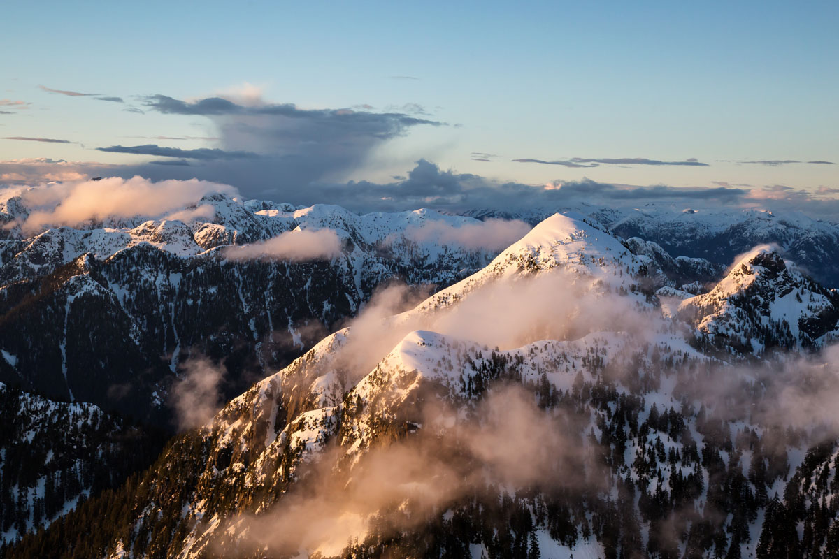
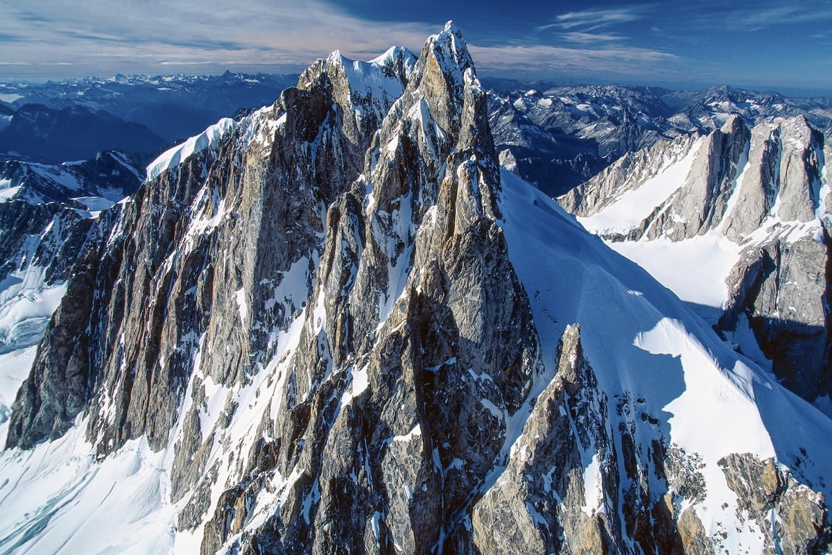
Featuring jagged ice-covered peaks and vast areas of stunning boreal forests, the Canadian Coast Mountains cover some 1,600km (990 miles) from north to south through the Canadian province of British Columbia, the territory of the Yukon, and the US state of Alaska. The range is home to 2,806 named mountains, the highest and most prominent of which is Mount Waddington (4,014m/13,169ft).
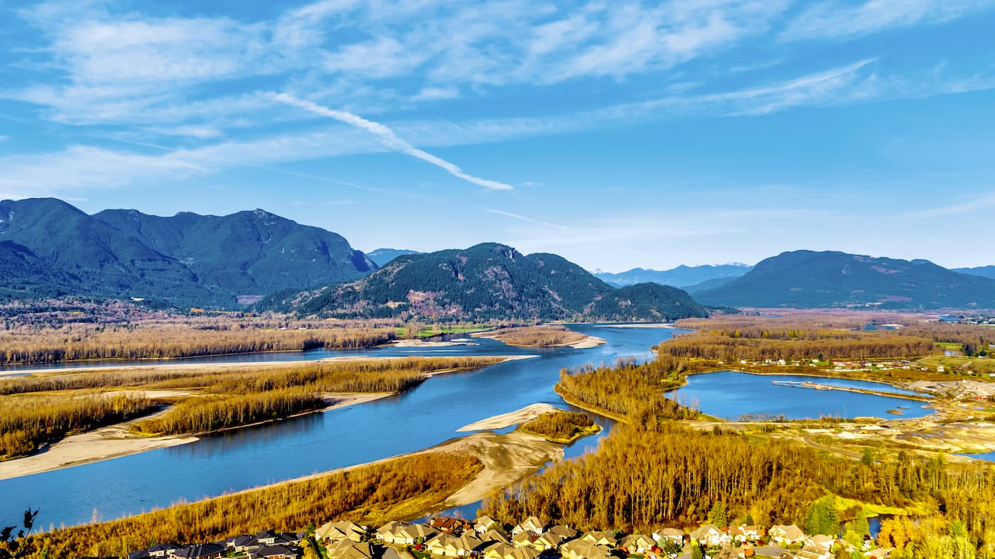
The Canadian Coast Mountains cover a massive swath of land, which extends from the southwestern part of the Yukon to the south of the city of Whitehorse, through the easternmost part of the Alaska panhandle, through the entirety of British Columbia, all the way to the province’s border with the state of Washington.
To the south of the Canadian Coast Mountains is the Cascade Range, which extends beyond Canada’s border with Washington into the states of Oregon and California. Meanwhile, the northern part of the Canadian Coast Mountains is bordered by the Yukon Intermountain Ranges, Mackenzie Mountains, and the St. Elias Mountains.
The Columbia Mountains, Nechako Plateau, and British Columbia Interior are all located to the east of the Canadian Coast Mountains, which separates them from the Canadian Rockies that run along British Columbia’s border with Alberta. Additionally, as they are called the Coast Mountains, the range is bordered to the west by the Pacific Ocean and the mountains of the Northwest Coast Islands.
Within British Columbia, the Canadian Coast Mountains are included in many of the province’s westernmost regional districts, including:
The range also crosses the US border into Alaska, where it is split into the following boroughs (administrative districts):
As the Canadian Coast Mountains contain thousands of peaks, the range is commonly split up into smaller subranges. The vast majority of these named subranges are located at least partially within British Columbia, though they extend into Alaska and the Yukon.
Some of the major subranges include:
British Columbia is also home to over 600 provincial parks, many of which are located in the Canadian Coast Mountains. Some of the largest and most popular include:
Geologically, the Canadian Coast Mountains are part of a much larger system of ranges that extends along the westernmost edge of North America and South America known as the American Cordillera.
This includes everything from the Alaska Range and the Brooks Range in the north, all the way through the Canadian Coast Ranges and Columbia Mountains, into the Cascades, Sierra Nevada, various sections of the Rockies, and into Mexico, where it continues through the Sierra Madre Oriental and the Sierra Madre Occidental before going through Central and South America.
The range is part of the Pacific Ring of Fire, a highly volcanic and seismically active area that wraps around the edge of the Pacific Ocean. Much of the range is igneous and metamorphic in origin, though there are several different terranes found in the region.
Although the geology of the region is complex, it is characterized by periods of tectonic subduction, particularly as plates such as the Insular Plate and the Farallon Plate subducted under the North American Plate.
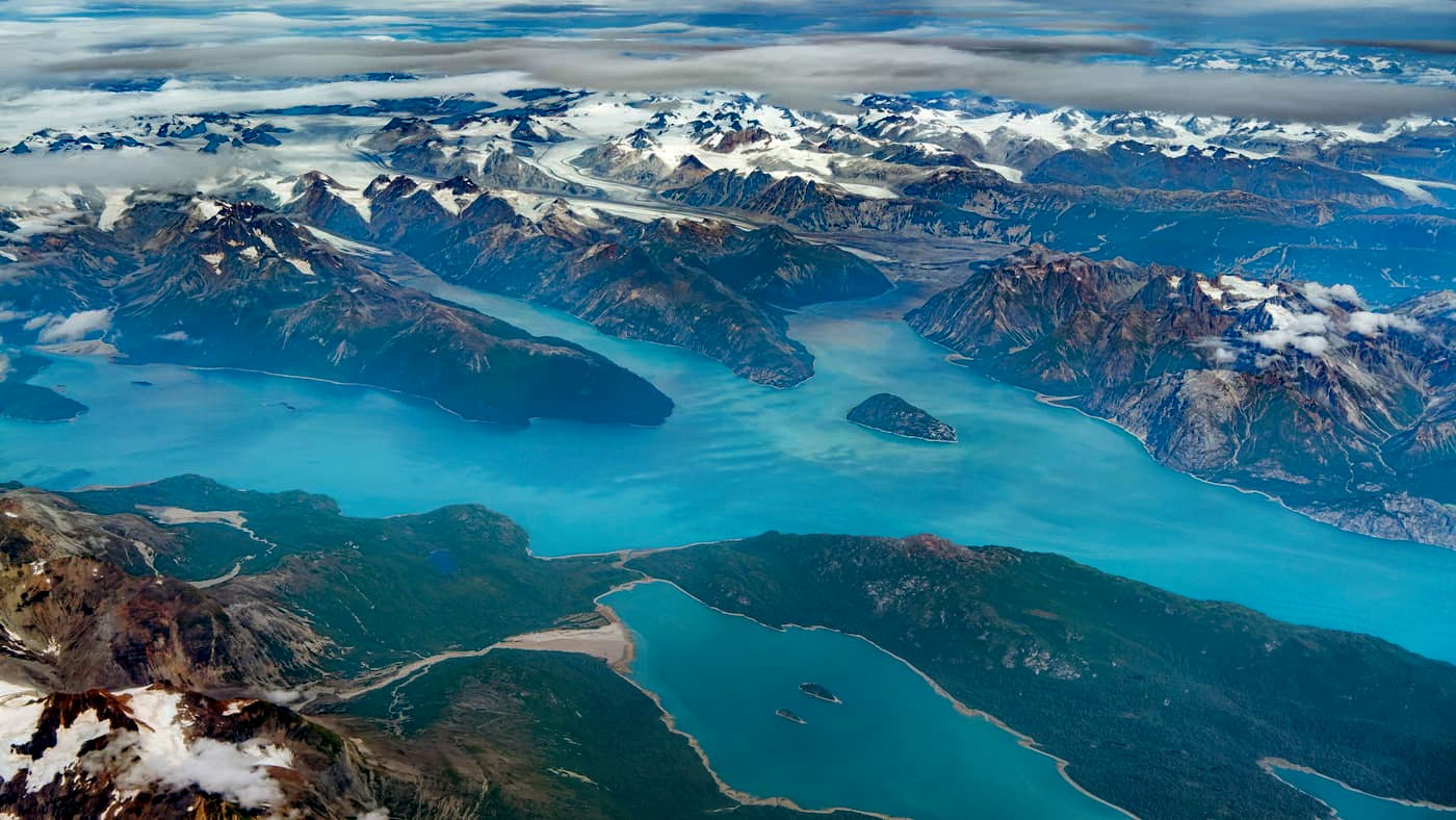
Another important geological feature of the region is its extensive ice cover. During the Pleistocene, the region was covered extensively by a large ice sheet, which helped to carve out many of the land formations that we see today. There are still sizable chunks of this ice sheet in existence, namely within the various icefields and ice caps that dot the region.
Major peaks within the Canadian Coast Mountains include Mount Waddington, Monarch Mountain, Mount Garibaldi, Mount Tiedemann, Good Hope Mountain, Wedge Mountain, and Mount Munday.
The Canadian Coast Mountains cover a massive area, which is home to many different ecosystems.
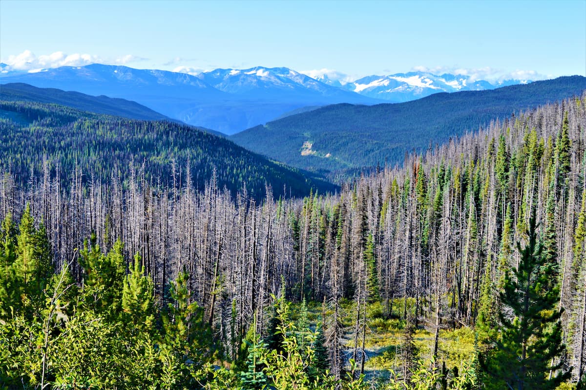
At lower elevations, the region is heavily forested. It boasts large stands of confiders, including Engelmann spruce, lodgepole pine, western hemlock, western red cedar, white spruce, Sitka spruce, and subalpine fir.
Much of the lower elevations of the range are part of the Pacific temperate rainforests ecoregion, which extends all the way from Kodiak Island and Kenai Fjords National Park in South Central Alaska to the northernmost part of California. These forests are predominantly confierous, though there are often some deciduous shrubbery in the understory.
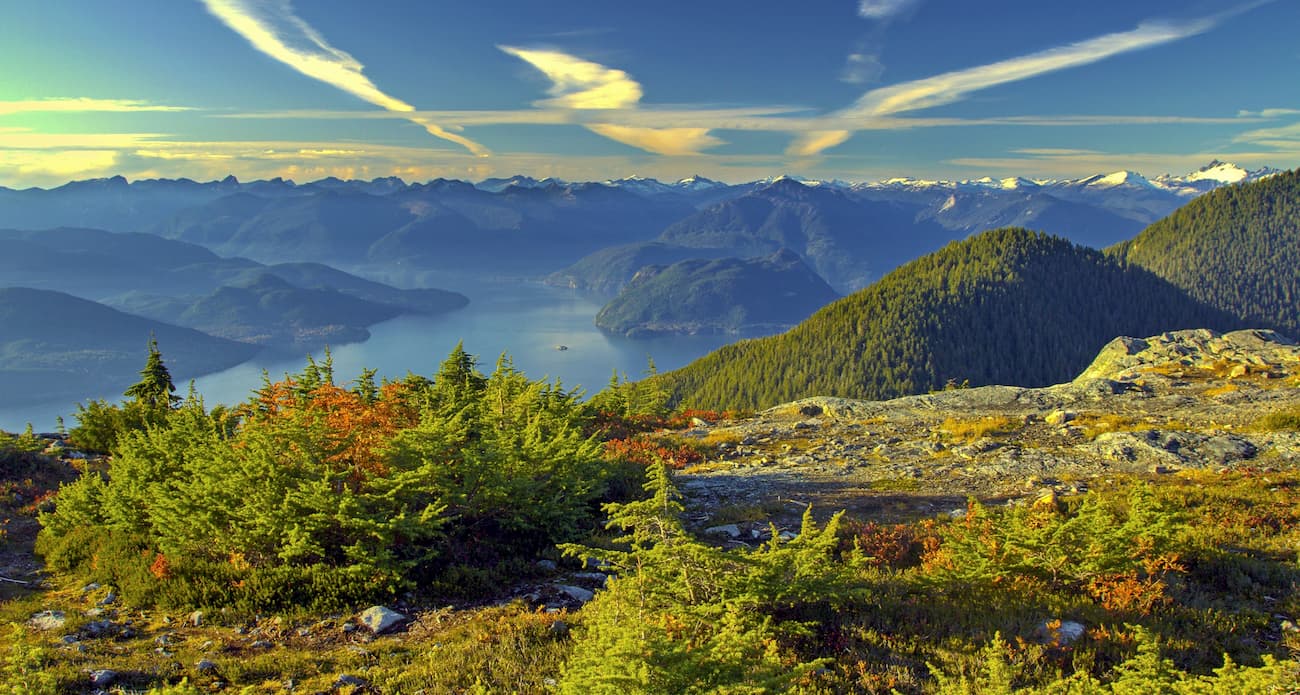
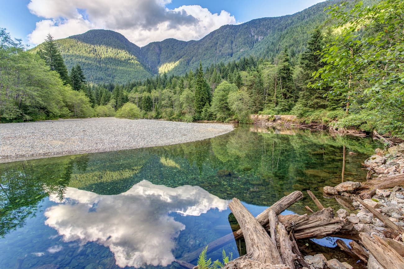
Perhaps the most well known ecological area within the southern part of the Canadian Coast Mountains is the Great Bear Rainforest, which covers some 6,400,000 hectares (16,000,000 acres) of land from the southern edge of British Columbia, all the way north to the province’s boundary with Alaska.
It is considered to be one of the largest remaining undeveloped tracts of temperate rainforests left in the world and is home to an abundance of wildlife. Large mammals, such as wolves, mountain lions, and grizzly bears all live in the region. One of the most recognizable animals in the region is the Kermode bear (a.k.a. the spirit bear), which is a subspecies of the American black bear that sometimes has an all-white coat.
Humans have lived in the regions now known as British Columbia, Alaska, and the Yukon and around the Canadian Coast Mountains for tens of thousands of years.
Although countless groups have called the region home over the millenia, some of the largest groups include Lil’wat, St'at'imc, Skwxwú7mesh-ulh Úxwumixw, Kwantlen, Tsilhqot’in Nen, Nuxalk, Heiltsuk, Haisla, Tsimshian, Kitasoo, Nisga’a, Tlingit & Haida, Tahltan, Carcross/Tagish First Nation, Kwanlin Dün, Champagne & Aishihik First Naton, and the Métis Nation.
Among the first Europeans to visit the region were sailors from Spain. Juan de Fuca may have reached the southernmost part of British Columbia during his voyage in the late 16th century, but there is no concrete evidence of this.
In 1778, British sailor James Cook arrived in the region, which helped precipitate an influx of Euroepan fur traders in what is now British Columbia. Throughout the late 18th century, a number of sailors, mostly sailing under the Spanish and British flags, sailed the waters around the Canadian Coast Mountains.
During this time, three main European figures - Sir Alexander Mackenzie, Simon Fraser, and David Thomspon - made substantial overland expeditions throughout the Canadian Coast Mountains, though as people had lived in the region for millenia before their arrival, their travels were not truly “exploratory.”
The early 19th century in the region was dominated by the fur trade industry, which was spearheaded by the Hudson’s Bay Company, whihc controlled much of the Pacific Northwest and the region around the Canadian Coast Mountains.
Although much of the earliest parts of the Gold Rushes in British Columbia were centered around the southern part of the region, a second Gold Rush in the 1860s brought an influx of miners into the northern parts of British Columbia, particularly in the Cariboo Region near the Coast Mountains.
These days, the region has a fairly diverse economy, with major metropolitain areas, such as Vancouver, located in the southernmost part of the range. The northern parts of the Coast Mountains are sparsely populated, though the range is also home to a substantial number of provincial parks, which drive tourism. Other main industries in the region include logging and mining.
The Canadian Coast Mountains offer a lifetime’s worth of outdoor recreation opportunities, particularly for those looking for more remote, off-trail adventures. There are dozens of parks and protected areas within the range. Here are some of the most popular hiking areas to check out:
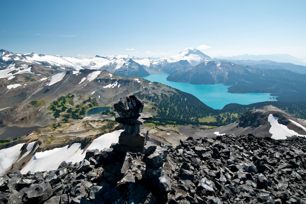
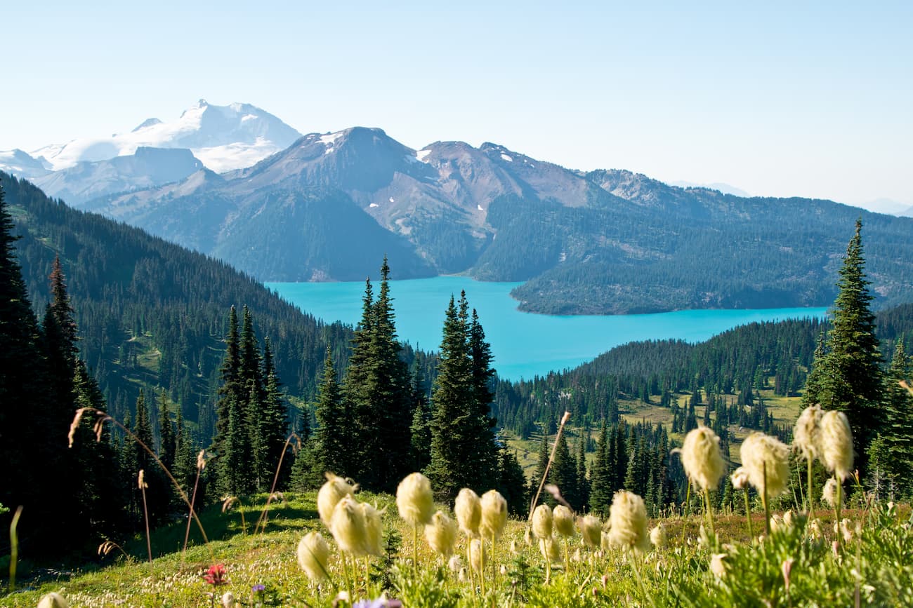
Located just north of Vancouver, Garibaldi Provincial Park is a popular outdoor recreation area in the southern part of the Canaidan Coast Mountains. It is home to dozens of peaks, the highest and most prominent of which is Wedge Mountain, though its namesake, Mount Garibaldi, is perhaps the best known peak.
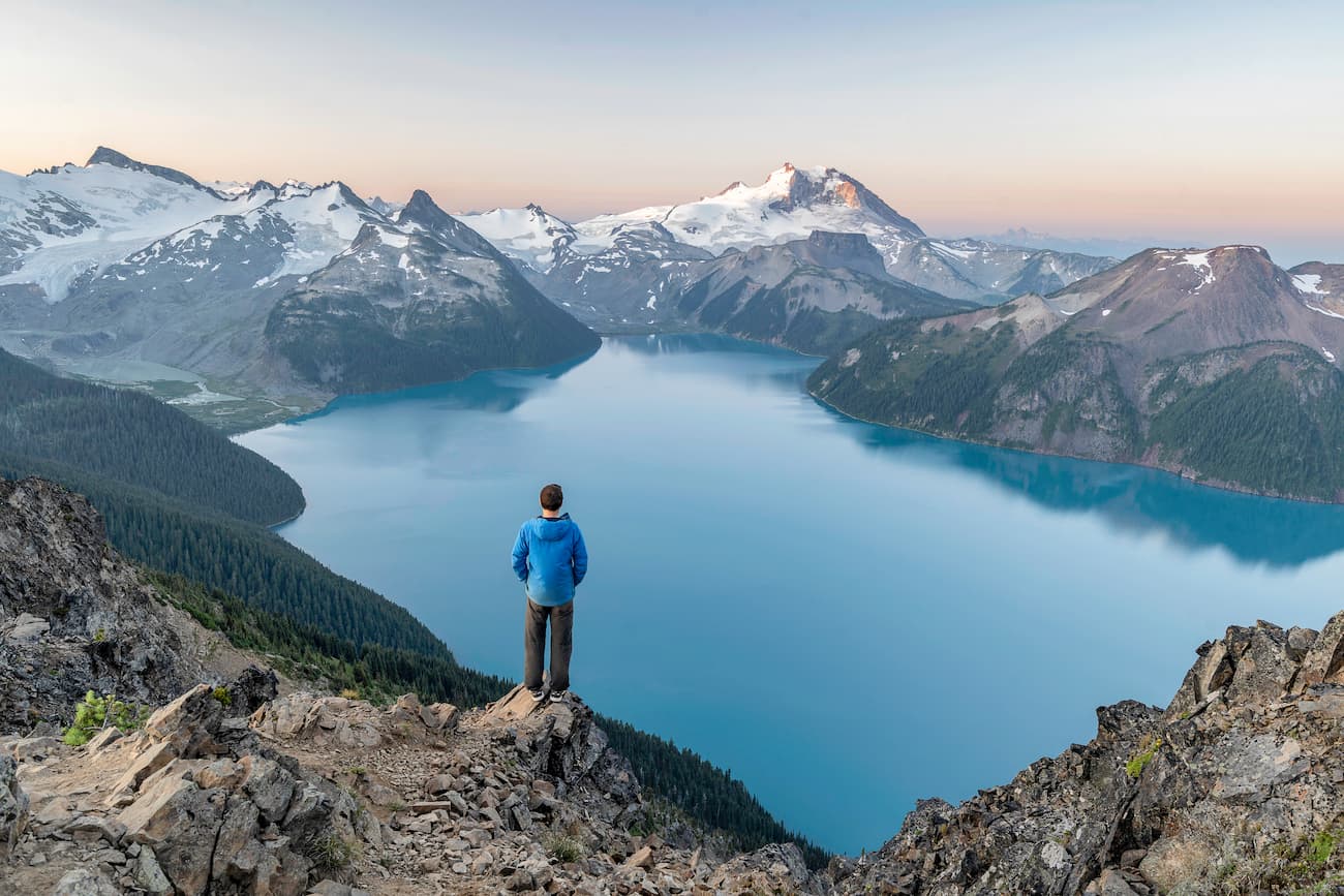
The park is known for its expansive views of the surrounding region and for its beautiful high alpine terrain. Much of the highest elevations of the park are glaciated while the lowest elevations are dominated by dense coniferous forests.
There are plenty of greeat hiking opportunities in the park, including Panorama Ridge, the Black Tusk Trial, and Cheakamus Lake.
Tweedsmuir Provincial Park is among the largest of British Columbia’s provincial parks. It is located 480km (298.3km) to the north of Vancouver in the heart of the Canadian Coast Mountains and it contains 73 named mountains, the highest and most prominent of which is Monarch Mountain.
The park is remote and only the southern section is accessible by road. However, it is also home to Hunlen Falls, one of the tallest waterfalls in all of Canada with its 260m (853ft) unbroken drop (the exact height is actually a matter of some debate).
Hiking to the falls requires a long day drip or a short overnight advenutre. Alternatively, many choose to fly into the nearby Turner Lake and take a short hike to the falls instead.
Golden Ears Provincial Park is located just north of Vancouver and it was originally part of the nearby Garibaldi Provincial Park. The park is situated around the Golden Ears Ranges and its highest peak is Mount Judge Howay.
There are many great hiking trails within the park, including the Golden Ears Trail, the Evans Peak Trail, and the Gold Creek Trail. Major peaks in the park include Edge Peak, Blanshard Peak, and Mount Robie Reid.
The southern part of the Canadian Coast Mountains region is heavily populated, however the northern reaches of the range is much more remote. Access to the northernmost parts of the region is often only by boat or plane and some of the smallest towns are accessible only by bush or float plane. With that in mind, here are some of the major cities around the Canadian Coast Mountains:
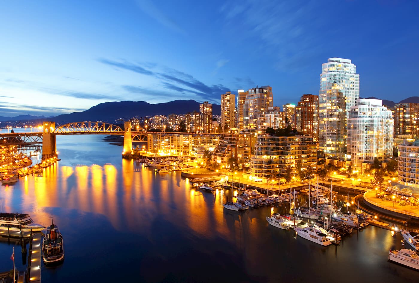
Vancouver is the largest city in British Columbia with over 630,000 residents. It is a major cultural and commercial center of the southern part of the province and it is also the most densely populated city in Canada.
The city has a major international airport, with excellent connections to some of the smaller regional airports around British Columbia. It has good road access to the southernmost parts of the Canadian Coast Mountains, as well as road conenctions to other larger cities in northern British Columbia, such as Kitimat.
The city of Squamish is located about a 1 hour drive north of Vancouver on the Sea to Sky Highway. It is home to nearly 20,000 people, including members of the Squamish Nation.
Squamish is a well-known outdoor recreation destination, thanks to its sheer concentration of world-class rock climbs on and around Stawamus Chief, and its plentiful hiking opportunities. It is located close to Garibaldi Provincial Park, which also offers plenty of hiking trails for visitors to enjoy.
![]()
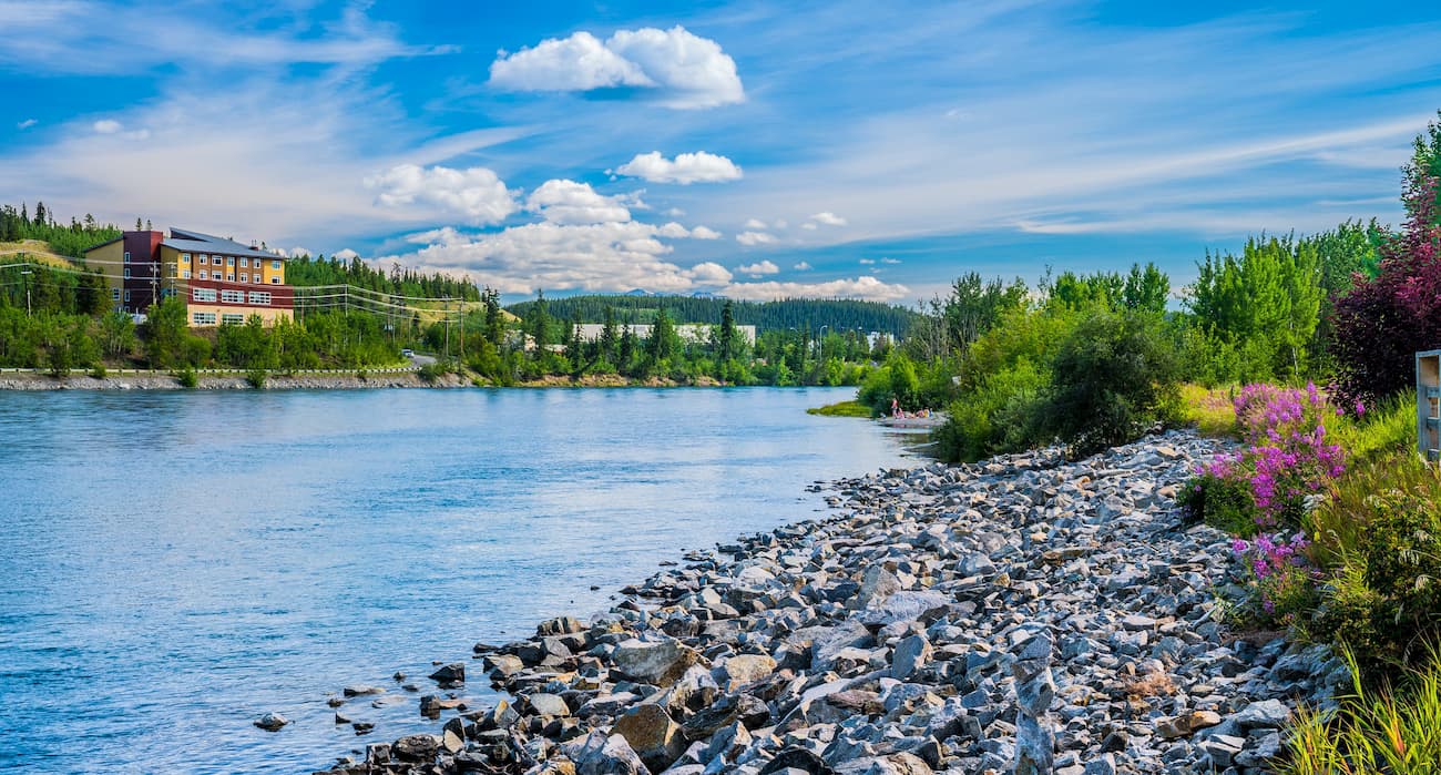
The city of Whitehorse is the capital and only incorporated city in the Yukon Territory. With about 25,000 residents, Whitehorse is the largest city in northern Canada (including the territories of Nunavut and the Northwestern Territories) and it is home to the majority of the population of the Yukon.
Whitehorse is just to the north of the northern terminus of the Canadian Coast Mountains. It is home to a busy airport, with great connections around Canada and abroad. The city is also located along the Alaska Highway, which provides great road access to the southern part of the Territory, mainland Alaska, and the northernmost parts of the Alaska panhandle.
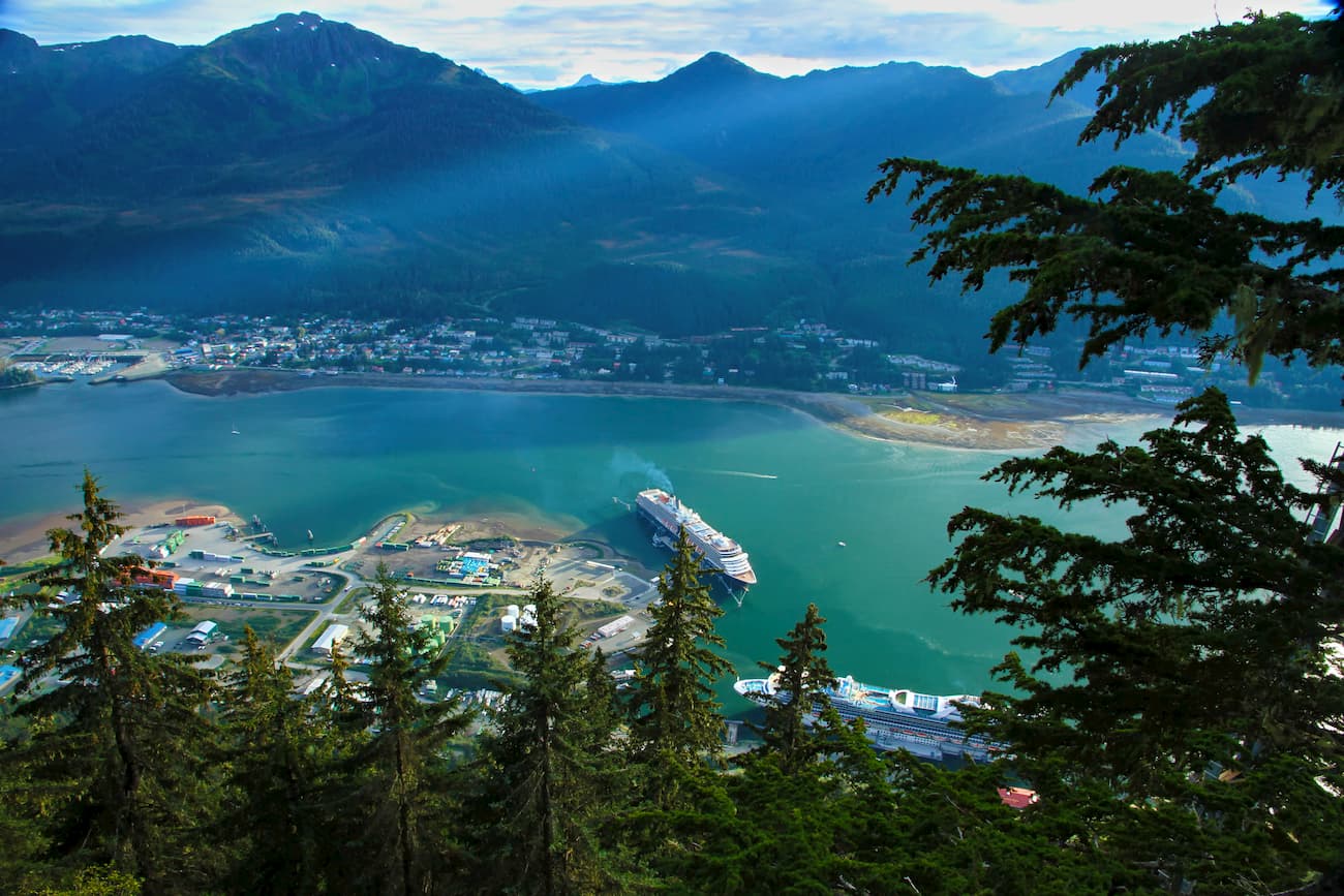
Juneau is located in the northwesternmost portion of the Candian Coast Mountains. It is the capital of the state of Alaska and is the largest population center in Southeastern Alaska, with some 31,000 residents. The city offers good access to various hiking trails in and around Tongass National Forest.
Although Juneau is not accessible by road from either Canada or the rest of mainland Alaska, it is a stop along the Alaska Marine Highway and it has the busiest airport in the region.


ultra
glacier
4000ers-canada
11ers-bc
fred-beckey-great-peaks
canada-sampler
british-columbia-ultras
ultra
glacier
4000ers-canada
11ers-bc
fred-beckey-great-peaks
canada-sampler
british-columbia-ultras
ultra
glacier
swbc-high-peaks
gunn-scrambles
british-columbia-ultras


