
Scan the QR code and open PeakVisor on your phone
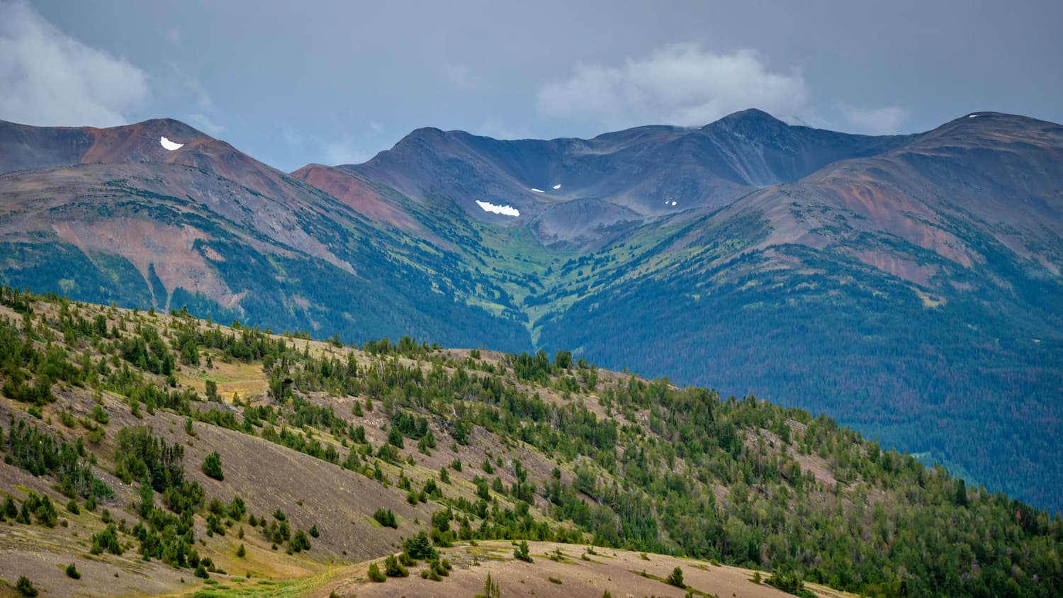
The Niut Range include 16 named peaks. The highest is Razorback Mountain at 3,183 m. Other notable peaks include Pagoda Peak, Ottarasko Mountain and Camel Mountain.
Located in British Columbia, the Niut Range encompasses 1,390 square miles of the Homathko River region and its main west fork, Mosley Creek. Though some classifications consider the Niut Range to be part of the Chilcotin Ranges, it is generally considered a subrange of the Pacific Ranges of the Coast Mountains. The Niut Range sits near the Pantheon Range, Waddington Range, and Whitemantle Range.
According to First Nations mythology, Niut (Eniyut) was the partner of Tsy’los. One day, after an argument, Niut decided that she’d had enough of him and moved from the Chilko Lake area to the Talayoko area, leaving two of their children behind. Tsy’los turned into a rock, along with the two children, residing above Xeni Lake.
A mostly isolated, island-like set of summits, the Niut Range is mostly notorious for its mountaineering. Two remote peaks in particular, Razorback Mountain and Niut Mountain, are popular ascents in the range. Other notable peaks in the range include Ottarasko Mountain, Camel Mountain, Rusty Peak, and Blackhorn Mountain.
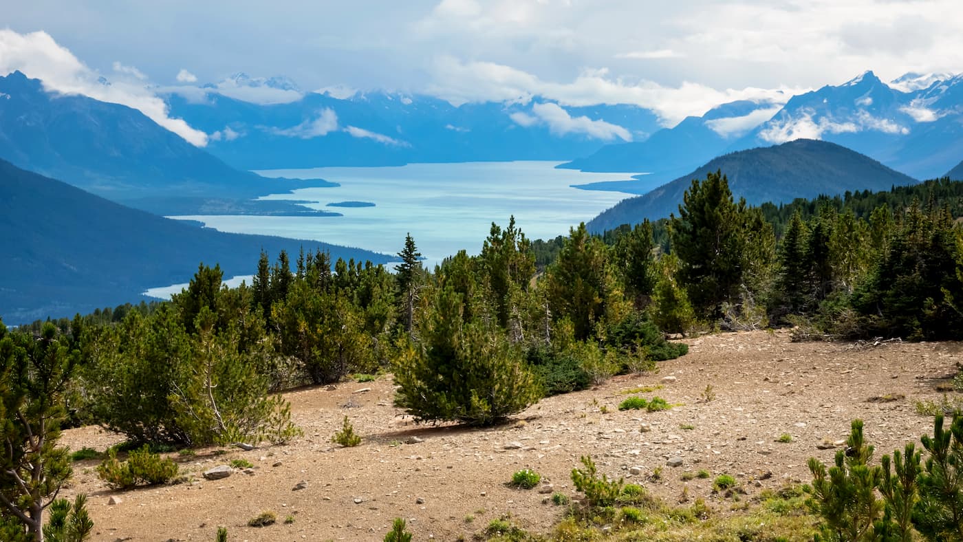
Though there is not a lot of information available about the Niut Range, recent history in this region is often characterized by conservation. In the 1980s, Tatlayoko Lake, the Homathko River, and the Niut Range were proposed for protection as part of the Niut Wilderness Proposal.
Eventually, BC Spaces for Nature would team up with the Niut Wilderness Society to encourage the BC government to protect a low elevation corridor through the Coast Mountains. The rugged, 43,429-acre Homathko River-Tatlayoko Protected Area was formed in 1996 to protect the Homathko River, Tatlayoko, and several extensive icefields, as well as the region’s impressive mountainous backdrop.
Located between Williams Lake and Bella Coola, the Eagle Bear Lodge boasts waterfront cabins with Niut Mountain views and over 22 acres of nature trails. Visitors can hike, canoe, view wildlife, and more. Each log cabin contains a wood stove, running water, and a completely outfitted kitchenette. Visitors can also hang out in the main lodge, check out the art gallery, and enjoy a fresh cup of coffee and freshly baked cookies.
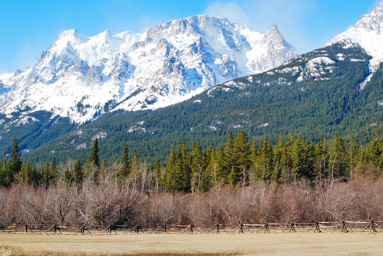
Located in the heart of Tatlayoko Valley, the Homathko River Inn is a quaint, family owned inn surrounded by the Niut and Potato Mountains. The Homathko River Inn offers secluded beach camping, swimming, boating, hiking, and stargazing. Each room at the Inn offers a bit of history and boasts modest amenities, including WIFI and satellite TV.
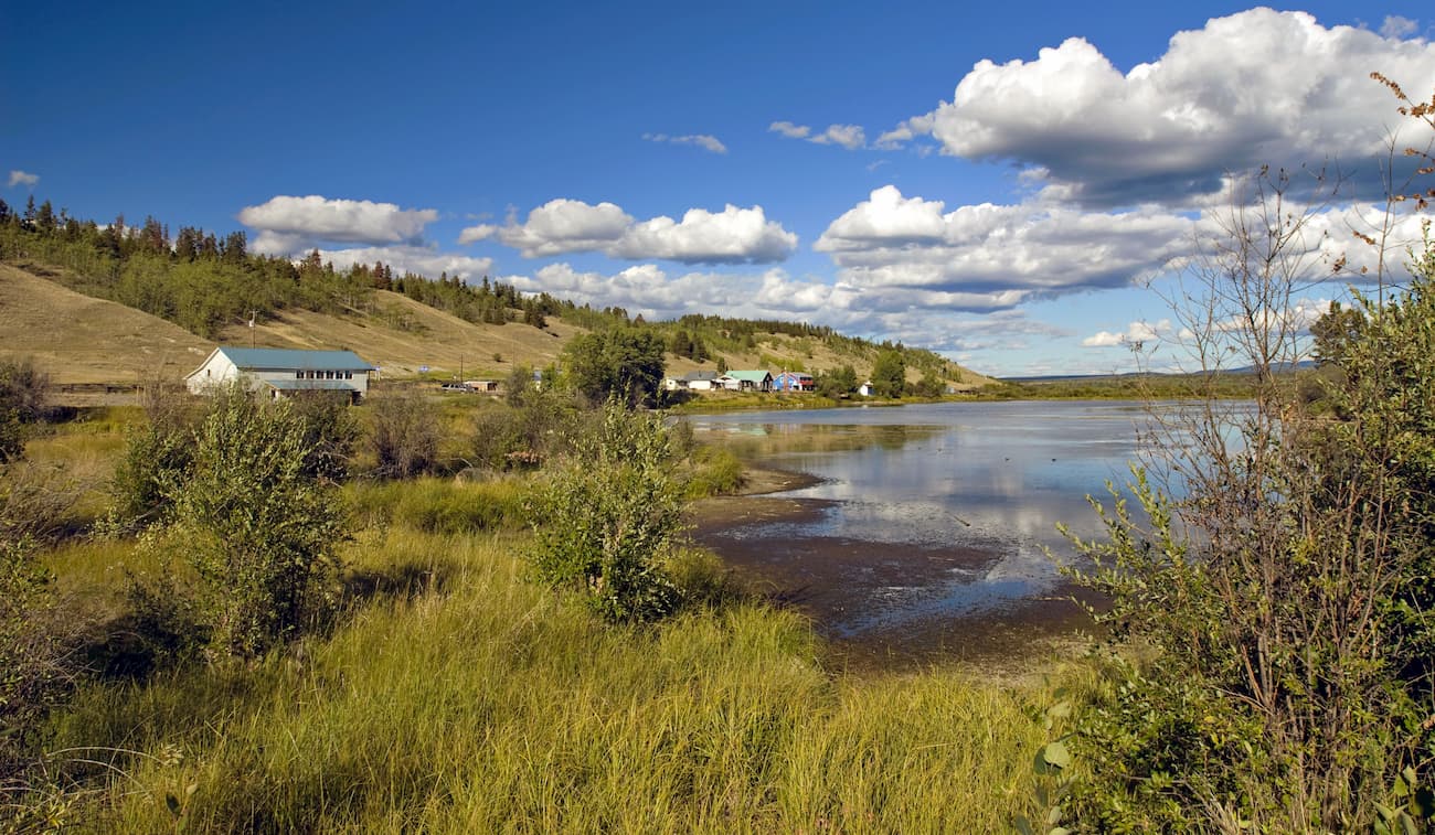
The small community of Tatla Lake sits on Bella Coola Road, which leads from Williams Lake across the Chilcotin Plateau and Coast Mountains to Bella Coola on the west coast of central British Columbia. Tatla Lake is a helicopter tour access point for several incredible wilderness destinations, including Mount Waddington. Due to the remote nature of this region, visitors looking to head into the backcountry often hire local guides in Tatla Lake.


The highest peak in the Niut Range is Razorback Mountain, at 3,183 m.
The Niut Range have 16 named peaks.


