Get PeakVisor App
Sign In
Search by GPS coordinates
- Latitude
- ° ' ''
- Longitude
- ° ' ''
- Units of Length

Yes
Cancel
❤ Wishlist ×
Choose
Delete
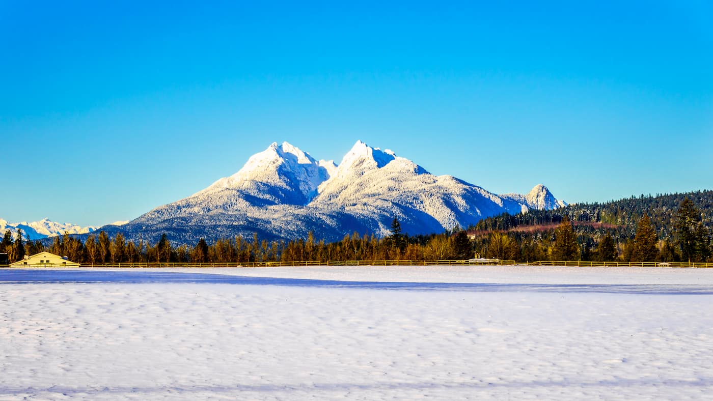
Spanning 214.6 square miles, Golden Ears Provincial Park is one of British Columbia’s largest provincial parks. The park, which was originally part of Garibaldi Provincial Park, was preserved as its own park in 1967 and named after The Golden Eyries spire, an ear-shaped massif that was later dubbed Mount Blanshard to honor the first governor of Vancouver Island.
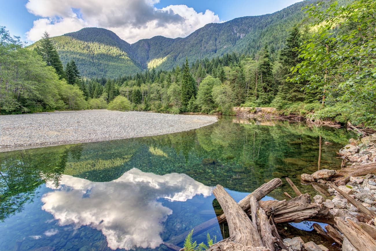
The park showcases the incredible, craggy summits of the Golden Ears Range, a collection of mountains, or group, tucked within the Garibaldi Ranges. The Golden Ears group contains the park’s most beloved summits, including Golden Ears, the park’s namesake summit, Edge Peak, a blocky summit in the center of the group, and Blanshard Peak. a summit at the southernmost end of the group. The highest and most prominent peak in the park is Mount Judge Howay, another distinctive twin summit located at the north end of Stave Lake.
Another Golden Ears icon, Mount Robie Reid, is a remote, rocky massif located on the north side of upper Alouette Lake, the largest lake in the park. The northeast face of Mount Robie Reid is the biggest rock wall near Vancouver.
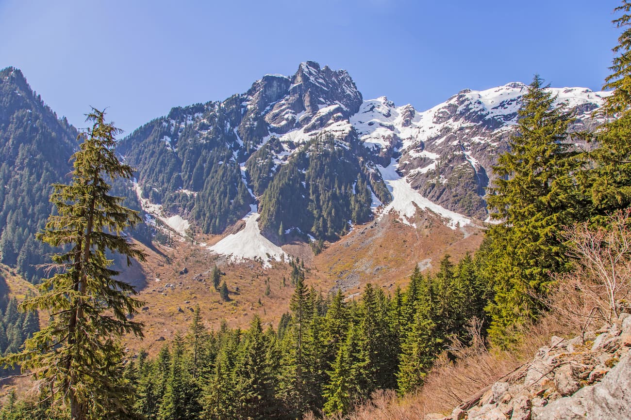
Today, Golden Ears remains a popular destination for outdoor recreation, particularly for urban day and weekend visitors traveling from nearby Vancouver and Maple Ridge. The park is known for its wide variety of recreational opportunities, including hiking, biking, boating, wildlife viewing, picnicking, and swimming.
Golden Ears is also ecologically diverse and contains three biogeoclimatic zones: Coastal Western Hemlock, Mountain Hemlock, and Alpine Tundra. Second-growth forests of western hemlock, western red cedar, and Douglas first span a majority of the park’s terrain. High elevations, however, give way to alpine meadows and permanent snowfields. These diverse zones serve as habitats for mountain goats, black bears, deer, and beavers.
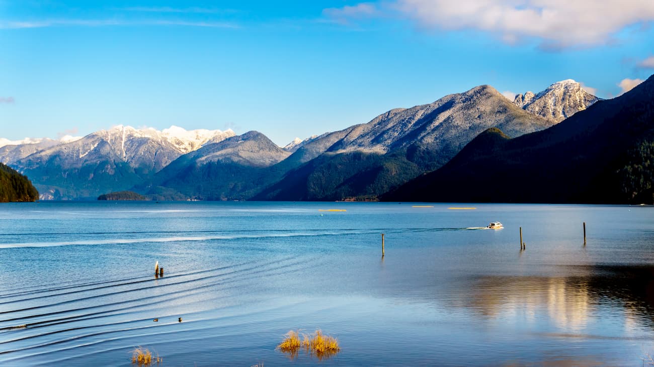
Located in the heart of Golden Ears Provincial Park, the summit of Golden Ears offers sweeping views in every direction. This challenging trek is generally completed in two days. Primitive campgrounds can be found at Alder Flats, near the base of the mountain, and Panorama Ridge, near the summit. The first part of the hike is relatively easy, while the second half is a steep, arduous alpine climb.
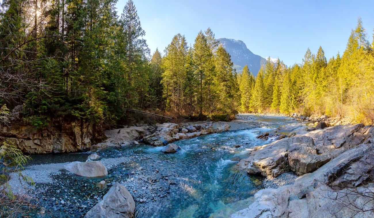
The hike to the summit of Evans Peak isn’t for the faint of heart. In fact, it is considered by many to be more of a scramble than a hike. However, those willing to endure the 3,280 feet of elevation will be rewarded with stunning views toward Garibaldi Provincial Park and Alouette Lake. The 7.5-mile hike starts on the West Canyon Trail before transitioning to the Viewpoint Trail. After crossing a creek and passing a waterfall, the trail begins to climb toward the summit. Adventurous hikers can also take a detour and summit Alouette Mountain.
The short hike to Gold Creek Falls is located at the very end of the road that runs through Golden Ears Provincial Park. Unlike the other trails on this list, Gold Creek has very little elevation gain, making it an excellent option for all ages. On the way to Gold Creek Falls, hikers can stop to soak in views of Alouette, Edge, and Blanshard Mountains.
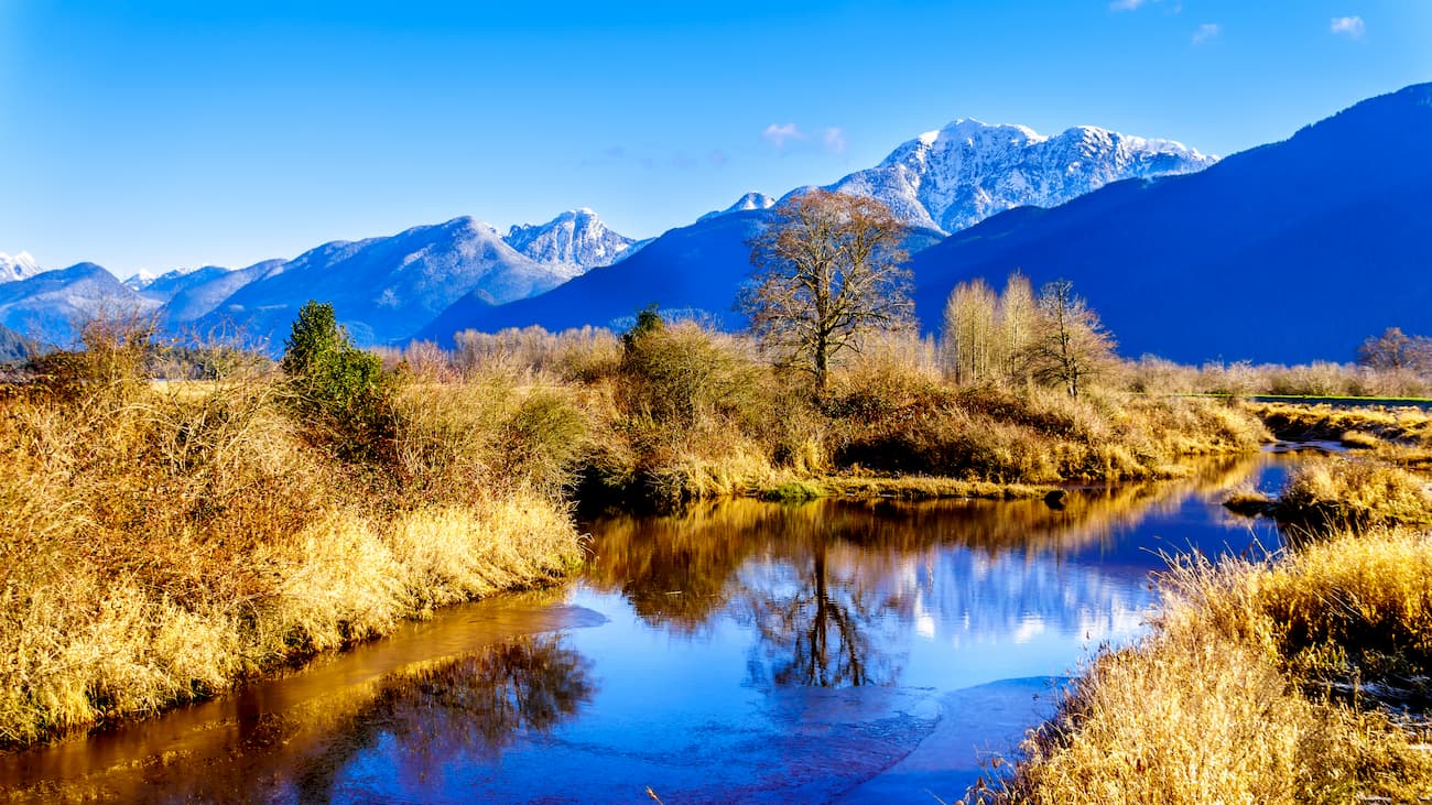
Just 1.5 hours from Golden Ears Provincial Park, Vancouver serves as an excellent starting point for an adventure in B.C. The city itself is surrounded by mountains and is known for its thriving art, theater, and music scenes. The city is also walkable and offers several scenic vistas and parks, as well as plenty of accommodations and eateries.

Maple Ridge sits at the northeastern section of Greater Vancouver between Fraser River and the Golden Ears. The city is full of natural attractions and recreation including hiking, boating, camping, fishing, and biking. Golden Ears Provincial Park, Alouette Lake, Cliff Falls, and the Malcolm Knapp Research Forest are just a few spectacular attractions right at the doorstep of Maple Ridge. The city also hosts a variety of accommodations, shopping, breweries and bistros, historic sites, and even music festivals.
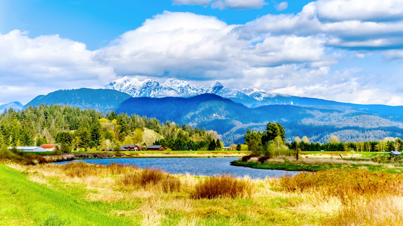
Explore Golden Ears Provincial Park with the PeakVisor 3D Map and identify its summits.


