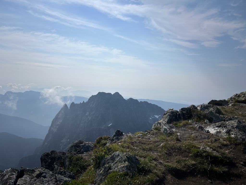
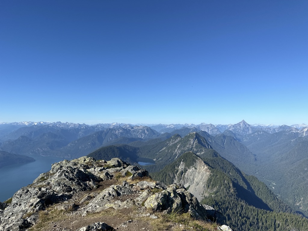
Golden Ears is the name of the double summit that lies north of Maple Ridge, British Columbia and is visible from most of the western Lower Mainland. The mountain is in Golden Ears Provincial Park, and was originally referred to as Golden Eyries, possibly for golden eagles that were observed near the summit. There is confusion about the name, because of the twin summits the peak exhibits. Many people believe that the mountain is named because it looks like ears which become golden in the sunset light.
There's a trail called Golden Ears Trail leading to the summit.
By elevation Golden Ears is
# 12 out of 27 in Golden Ears Provincial Park # 7 out of 30 in the Golden Ears Ranges
By prominence Golden Ears is
# 17 out of 370 in Fraser Valley Regional District # 3 out of 27 in Golden Ears Provincial Park # 4 out of 30 in the Golden Ears Ranges
We use GPS information embedded into the photo when it is available.
3D mountains overlay
Adjust mountain panorama to perfectly match your photos because recorded by camera photo position might be imprecise.
Move tool
Rotate tool
Zoom
More customization
Choose which peak labels should make into the final photo and what photo title should be.
Next
Photo Location
Satellitte
Flat map
Relief map
Latitude
Longitude
Altitude
OR
Latitude
°'''
Longitude
°'''
Apply
Register Peak
Peak Name
Latitude
Longitude
Altitude
Register
Teleport
PeakVisor
This 3D model of Sagarmatha National Park in Nepal was made using the PeakVisor app topographic data. The mobile app features higher precision models worldwide, more topographic details, and works offline. Download PeakVisor maps today.
Download OBJ model
PeakVisor
The download should start shortly. If you find it useful please consider supporting the PeakVisor app.
PeakVisor for iOS and Android
Be a superhero of outdoor navigation with state-of-the-art 3D maps and mountain identification in the palm of your hand!