
Scan the QR code and open PeakVisor on your phone
Greater Vancouver Regional District is home to 111 named mountains. The highest is Meslilloet Mountain at 1,990 m.
The Metro Vancouver Regional District, also known as Metro Vancouver includes much of the land in southwestern British Columbia. The total population of the region is roughly 2.46 million, covering a region of 2,882 square kilometers. Elevations range from sea level up to the summit of Mesliloet Mountain. To the east of the lies the Fraser Valley Regional District. There are 107 named mountains in Metro Vancouver Regional District. Meslilloet Mountain is the highest point at 1,985 meters. The most prominent mountain is Middle Finger with 963 meters of prominence.
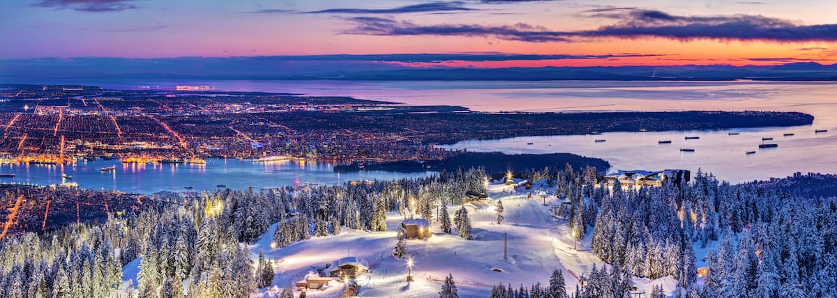
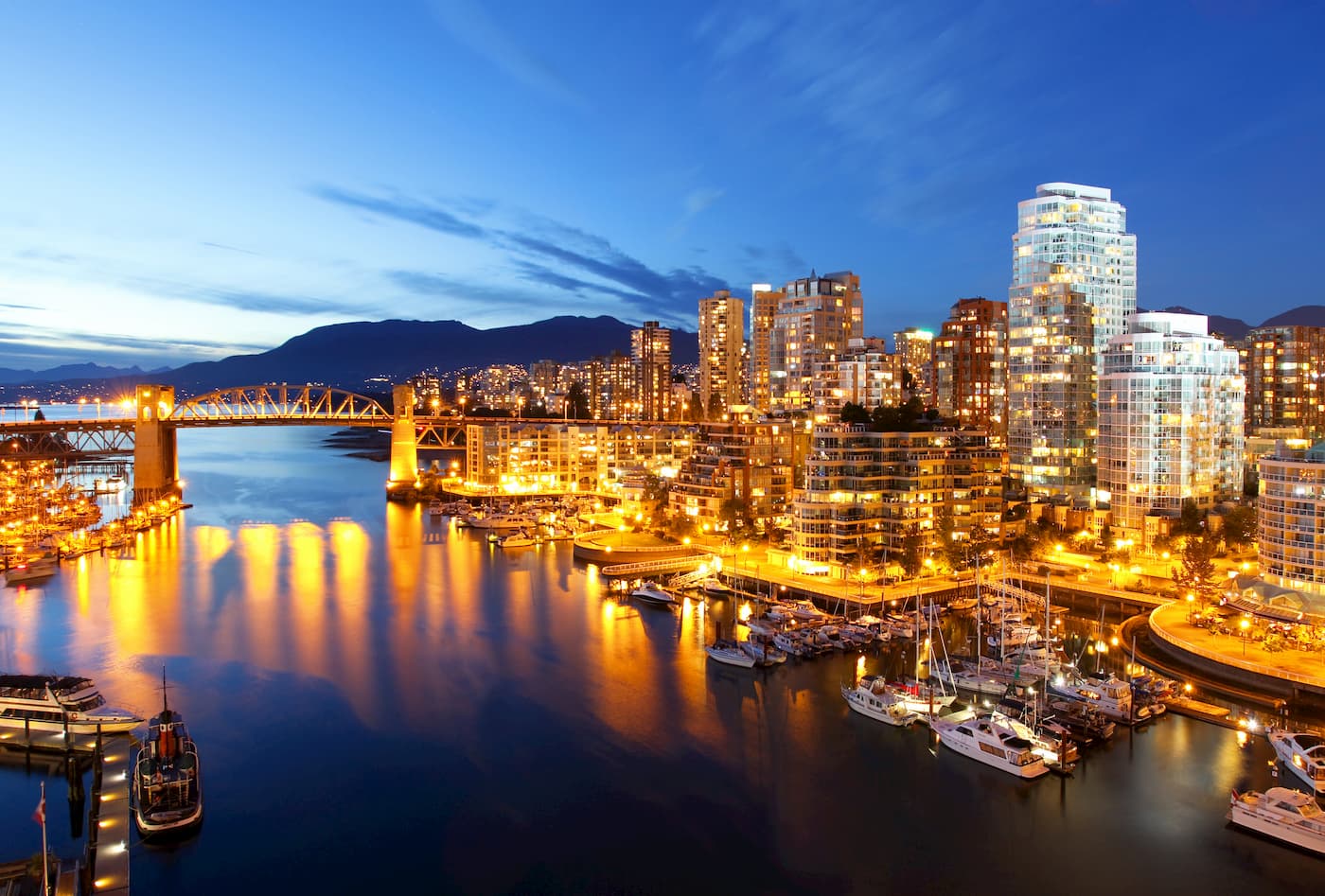
Metro Vancouver covers land along the Fraser River and the Burrard Inlet. This regional district is the most populated in the entire province. Thirteen of the province’s thirty most populated cities lie within the region. The Metro Vancouver region is also home to seventeen Indian reserves. The region is consistently named one of the top five livable cities in the world due to its moderate climate and abundance of outdoor activities. There are six major Provincial Parks within the Metro Vancouver Regional District as well as three major ski resorts. The North Shore Mountains of the region is known for being home to some of the best mountain biking routes in the state. The Seymour River, Lynn Creek, and the Capilano River provide ample space for whitewater activities.
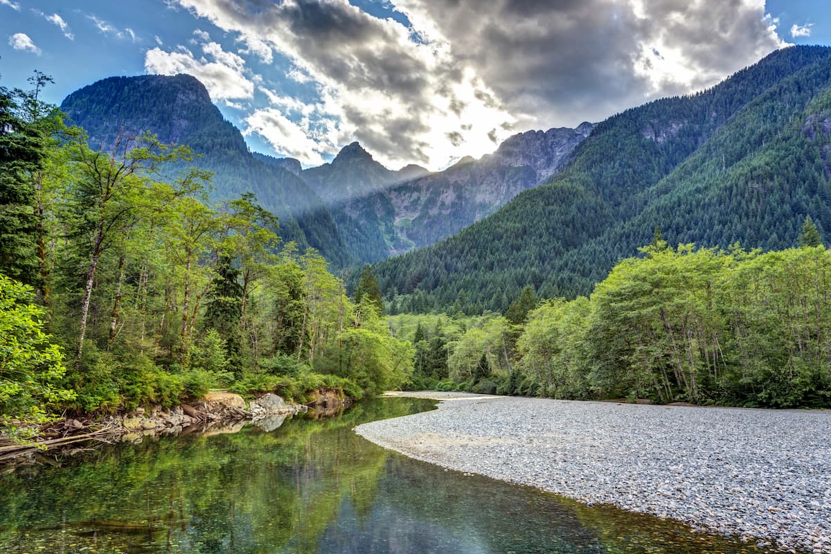
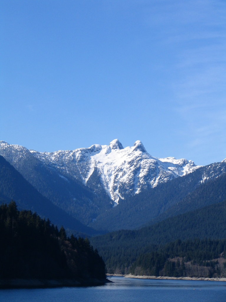
The surrounding parks provide seemingly endless hiking and running trails for those in the area. Wildlife in the surrounding parks often include deer, bear, beavers, mountain goats, along with hundreds of bird species, including the largest migratory population of bald eagles. Though the winter months bring lots of rain, they give way to lush rainforests and some of the most beautiful summers in all of Canada.
Golden Ears Park: North of the city of Vancouver lies Golden Ears Provincial Park. This park covers 609 square kilometers across the regional district. The park gets its name from the two tallest peaks that are often referred to as the “Golden Ears''. The park has an extensive network of trails with the most well-known being the Golden Ears trail. The trail is 12 km one way and takes hikers up to the summit of the tallest peak in the park. While there are many backcountry campsites, the three major drive-up sites are the Alouette Campground, Gold Creek Campground, and the North Beach Campground. The park is also home to over 20 kilometers of designated horseback riding trails.
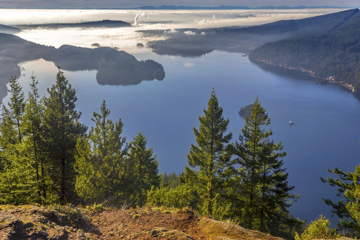
Say Nuth Khaw Yum Provincial Park (also known as Indian Arm Park): This provincial park covers 6,689 ha and was established back in 1995. The park protects the land surrounding Indian Arm, a steep fjord that extends 18 kilometers. The land has long been inhabited by the Tsleil-Waututh First Nation. The trails in the park wind through the old growth forests and along the shores of Indian Arm. Iconic to the park are both Granite Falls and Silver Falls. Much of the waters around Racoon and Twin Islands offer great terrain for scuba diving.
Mount Seymour Park: Mount Seymour Park covers 3,509 hectares of land, just west of Say Nuth Khaw Yum Provincial Park. From the higher elevations in the park, hikers have views of the Vancouver metro, Say Nuth Khaw Yum Provincial Park, and Mount Baker in northern Washington state. The park offers trails of varying length and difficulty, many that can be accessed throughout the year. Lower elevation trails are used by both hikers and mountain bikers while higher elevation trails are used only by hikers. During the winter months, some trails are used for snowshoeing and cross-country skiing. Also located in the park is Mount Seymour Resorts which offers runs for skiing and even snow tubing. The park was established back in 1936.
Cypress Provincial Park: Encompassing some of the North Shore Mountains lies Cypress Provincial Park, spanning 3,012 hectares. To the west lies the Howe Sound, while the park towers high above the nearby Vancouver metro. The park’s weather is characteristic of the coastal region with moderate weather. High rainfall in the region leads to lush old-growth forests and yearlong outdoor recreation. The park is full of hiking trails, camping, snowshoeing, cross-country skiing and sightseeing.
Vancouver is the third largest city in Canada and the largest city in the entire province. While the city population is 603,000, the Vancouver metro area has a population of over 2,500,000. The city is one of the most ethnically and linguistically diverse cities in Canada. The mild climate of the city, along with its abundant access to lakes, trails, and mountains, makes it a popular destination for outdoor recreation. The city is close to three ski resorts, and an abundance of hiking, running, and mountain biking trails. In recent decades, Vancouver has worked to become one of the most sustainable and eco-friendly cities in the entire world.


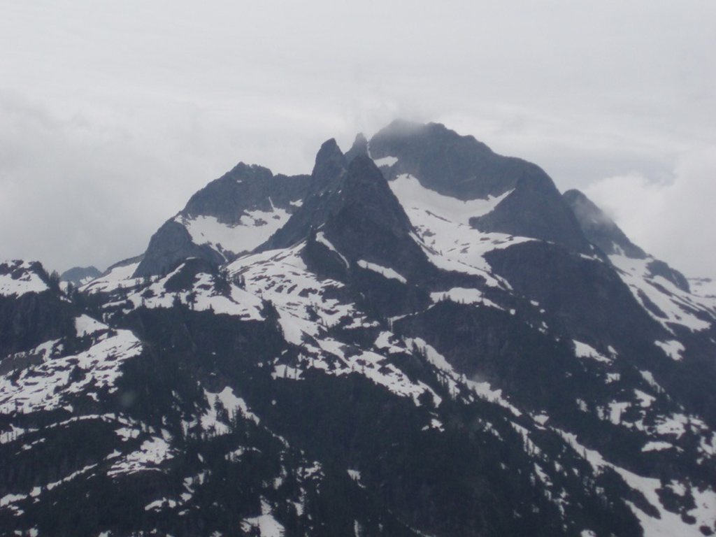
Yes. Greater Vancouver Regional District has 111 named mountains. The highest is Meslilloet Mountain at 1,990 m.
The highest mountain in Greater Vancouver Regional District is Meslilloet Mountain, at 1,990 m.
Greater Vancouver Regional District has 111 named mountains.


