
Scan the QR code and open PeakVisor on your phone
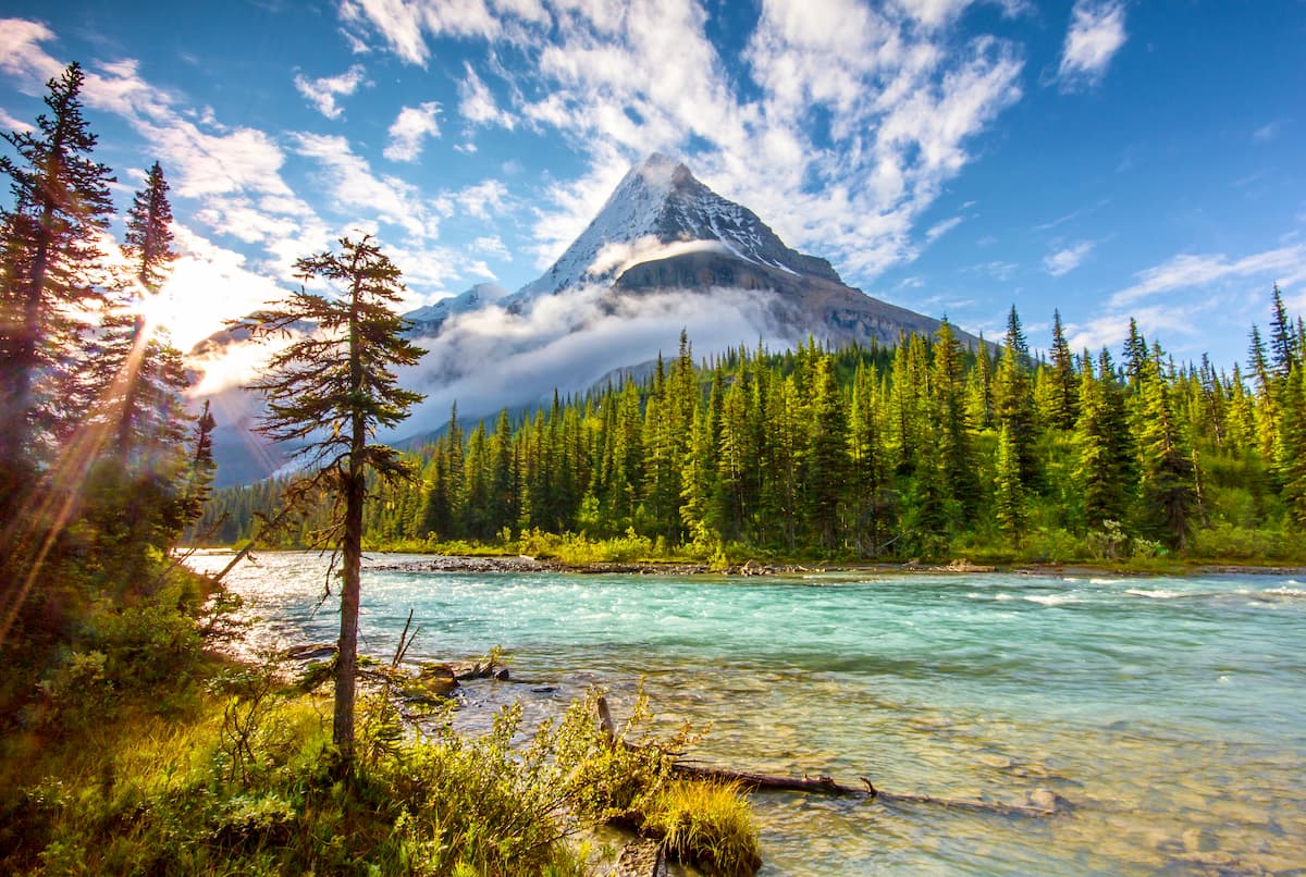
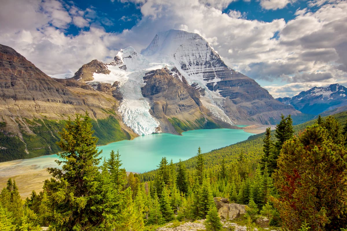
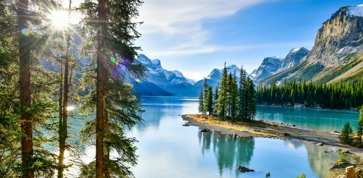
Home to snow-capped peaks, sprawling glaciers, and glistening alpine lakes, the Canadian Rockies are one of the most magnificent mountain ranges in North America. Straddling the border between the provinces of Alberta and British Columbia in Canada, the Canadian Rockies include 2,283 named peaks, the highest and most prominent of which is Mount Robson (3,954m/12,972ft).
The Canadian Rockies (French: Rocheuses canadiennes) are a large collection of mountains located in the Canadian provinces of Alberta and British Columbia. Starting near the country’s border with the US state of Montana to the south, the Canadian Rockies stretch for about 1,460km (910mi) to the interior of British Columbia in the north, spanning about 180km (110mi) in width at their widest point.
However, it’s important to note that these lengths also include the Far Northern Rockies, a collection of 631 named mountains, the highest of which is Mount Ida, and the most prominent of which is Ulysses Mountain. These ranges are sometimes considered to be a subsection of the Canadian Rockies, though they are part of the same system, stretching from just north of Grande Cache, Alberta all the way to Fort Halkett, British Columbia near the province’s boundary with the Yukon.
Although the Canadian Rockies are among the most prominent mountains in eastern British Columbia and they are by far the largest mountains in Alberta, they are surrounded by other nearby mountain ranges on nearly all sides.
In particular, the Canadian Rockies are located to the north of the Idaho-Bitterroot Rocky Mountains and the Central Montana Rocky Mountains, which include the Cabinet Mountains and the Lewis Range.

Meanwhile, they are situated to the east of the Rocky Mountain Trench, the British Columbia Interior and the Columbia Mountains, which includes the prominent Cariboo Mountains, Selkirk Mountains and Purcell Mountains. The Canadian Rockies are also located to the south of the Mackenzie Mountains and the Yukon Intermountain Ranges in the Yukon and the Northwest Territories.
However, the eastern edge of the Canadian Rocky Mountains descend down into the low-lying prairie of Alberta, which covers much of central Canada, including the neighboring provinces of Saskatchewan and Manitoba. In fact, besides the rolling hills of northern Ontario, there are no truly prominent mountain systems in the provinces of Canada between the Canadian Rockies in Alberta and British Columbia in the west to the Canadian Appalachians in Quebec to the east.
That being said, the Canadian Rockies are not one mountain range, but many. In fact, there are over 2 dozen subranges within the Canadian Rockies, including the following ranges in British Columbia:
Moreover, the Canadian Rockies are home to all of the highest mountains in Alberta, including the following subranges:
Due to the sheer size of the Canadian Rockies and the range’s many stunning outdoor recreation areas, it’s best to categorize the region’s parks and points of interest based on province.
The easternmost of British Columbia’s many mountain ranges, the Canadian Rockies form the majority of the province’s border with neighboring Alberta, extending from the terminus of the Central Montana Rocky Mountains in the south all the way north toward the Yukon border.
Within the province of British Columbia, the Canadian Rockies encompass parts of the Northern Rockies, Stikine, Peace River, Fraser Fort George, Columbia Shuswap, and East Kootenay regional districts.
Although British Columbia is a veritable treasure trove of outdoor recreation, the province’s half of the Canadian Rockies is particularly exceptional. In fact, the British Columbia section of the range includes both Yoho National Park and Kootenay National Park, as well as a handful of provincial parks, such as:
Home to the loftiest peaks in Alberta, the Canadian Rockies cover much of the province’s western improvement districts as well as the Municipality of Jasper and the Municipality of Crowsnest Pass. The range starts just to the north of Castle Wildland Provincial Park near the US border and continues northward past Calgary just to the south of the city of Grande Prairie.
This part of the Canadian Rockies includes Canada’s 2 most visited national parks - Jasper National Park and Banff National Park - which record a combined average total of 6.5 million visitors each year. Moreover, the Canadian Rockies of Alberta compass a number of provincial parks and wilderness areas, including:
From a geological perspective, the Canadian Rockies are a continuation of the Rocky Mountains, which stretch from the southwestern United States and cover some 4,800km (3,000mi) of land in New Mexico, Colorado, Utah, Wyoming, Idaho, and Montana before crossing the Canadian border into Alberta and British Columbia.
Furthermore, the Canadian Rockies are part of an even larger system of mountain ranges known as the American Cordillera, which runs down the western backbone of the Americans from the Brooks Range in Alaska all the way to the Andes in Chile and Argentina.
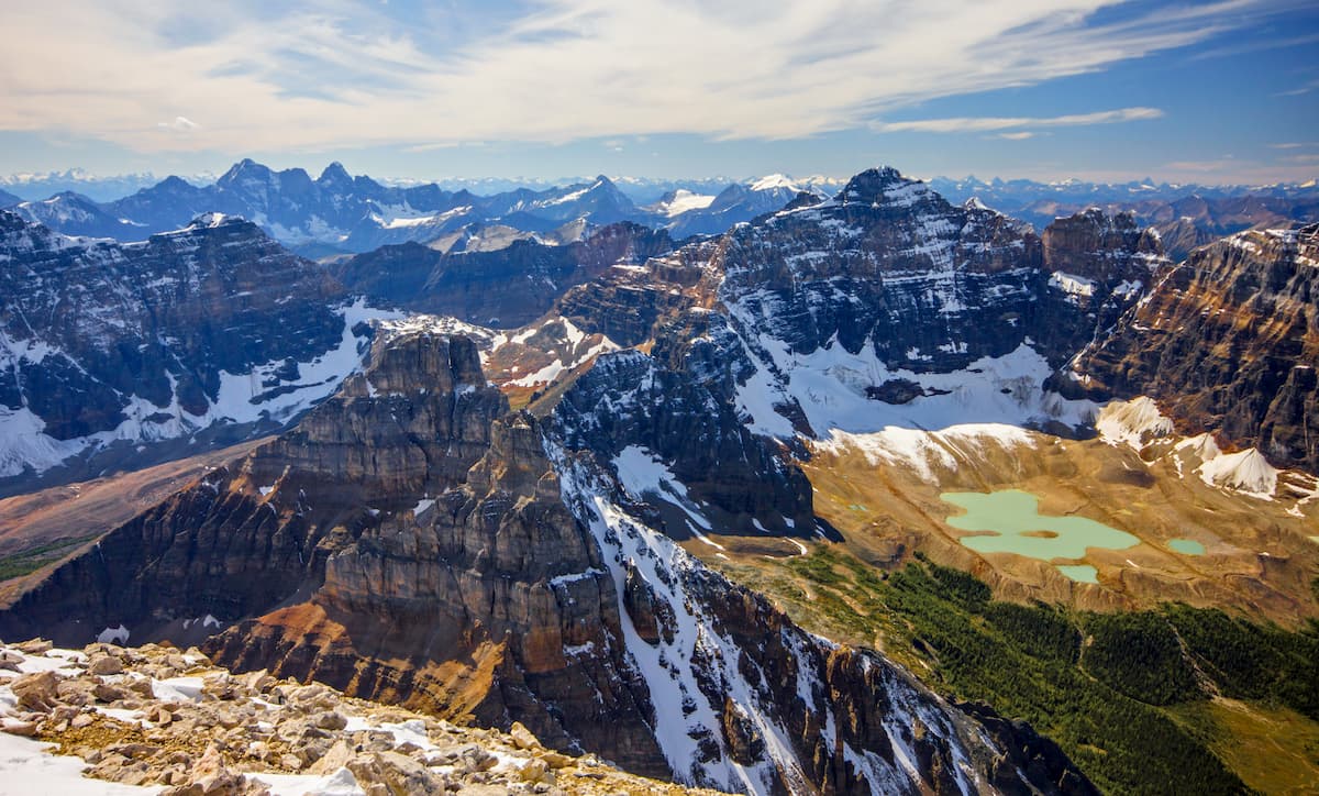
With so many different sub ranges and peaks within the Canadian Rockies, any broad characterization of the range’s geologic history is bound to omit regional details. Indeed, the Canadian Rockies have a geologic history that extends back at least half a billion years.
For the most part, the range is home to sedimentary rock, which formed out of the accumulation of tens and hundreds of millions of years worth of sediments. The earliest sediments in the range are about Proterozoic in age, though many more younger layers have since been deposited over them. Some parts of the range also experienced various instances of igneous intrusions within these sedimentary deposits.
For the most part, the entire Rocky Mountain system (including the parts in the United States) started to form in earnest during the Laramide orogeny, though new research from the University of Alberta suggests that the Canadian Rockies, in particular, started to form as the North American plate collided with a microcontinent to the west about 100 million years ago.
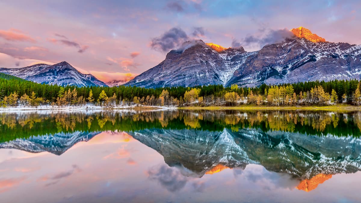
In more recent years, however, the range has been carved and sculpted by glaciers, particularly during the height of the Pleistocene glaciation. These glaciers carved out the Canadian Rockies and helped to create the many dramatic features that we see in the region today.
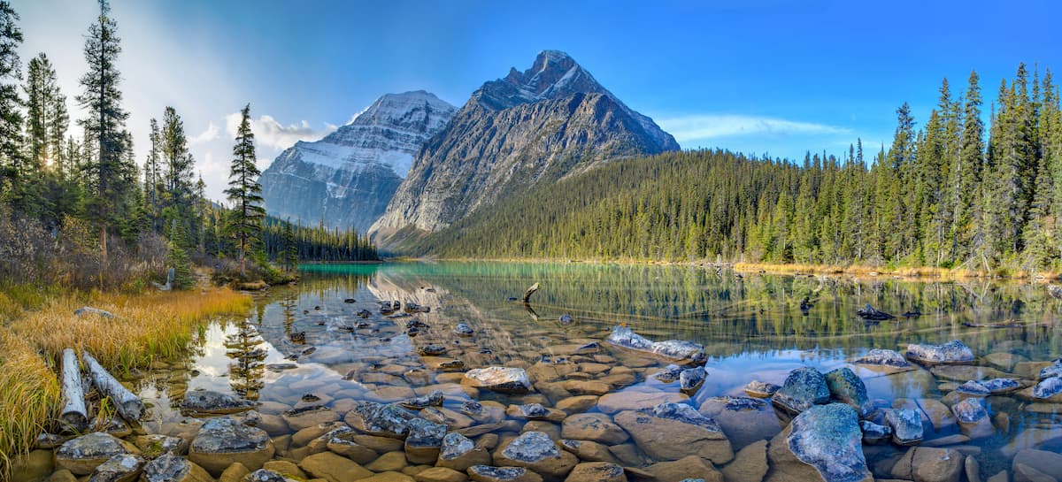
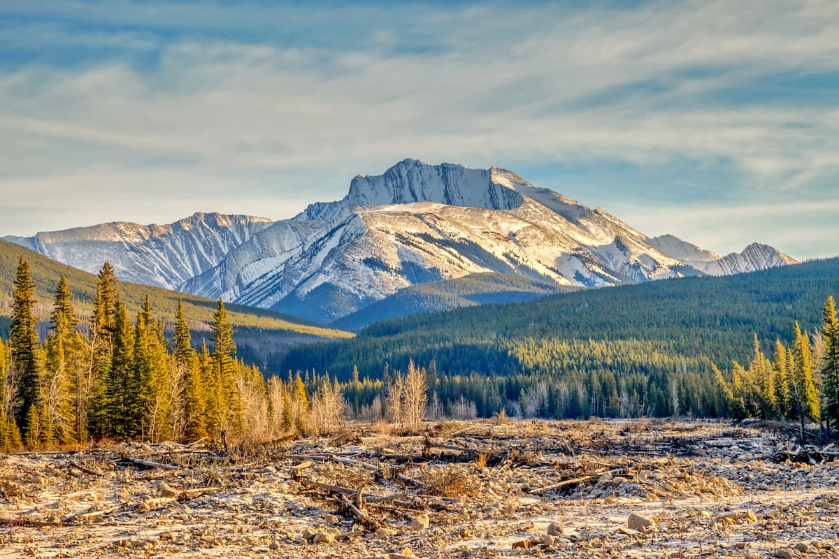
Major peaks in the range include Mount Robson, Mount Columbia, Mount Edith Cavell, Mount Clemenceau, Mount Assiniboine, Mount Forbes, and Whitehorn Mountain.
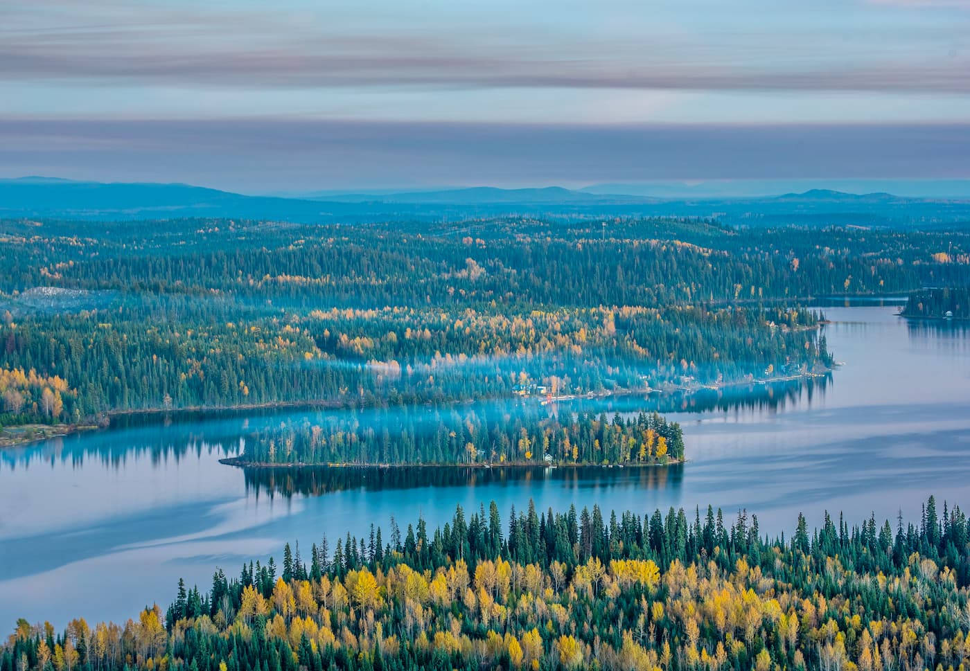
Although the Canadian Rockies are best known for their alpine splendour, the range also contains some of the most biodiverse ecosystems in the region.
Much of the lower and mid-elevations of the range are home to dense forests, with quaking aspen, lodgepole pine, white spruce, Douglas fir, and balsam poplar comprising much of the region’s forest cover. Meanwhile, the northernmost parts of the range contain sizable stands of black spruce.
Just above the treeline, much of the Canadian Rockies is blanketed in stunning alpine meadows, where visitors can find a plethora of wildflowers in the summer months.
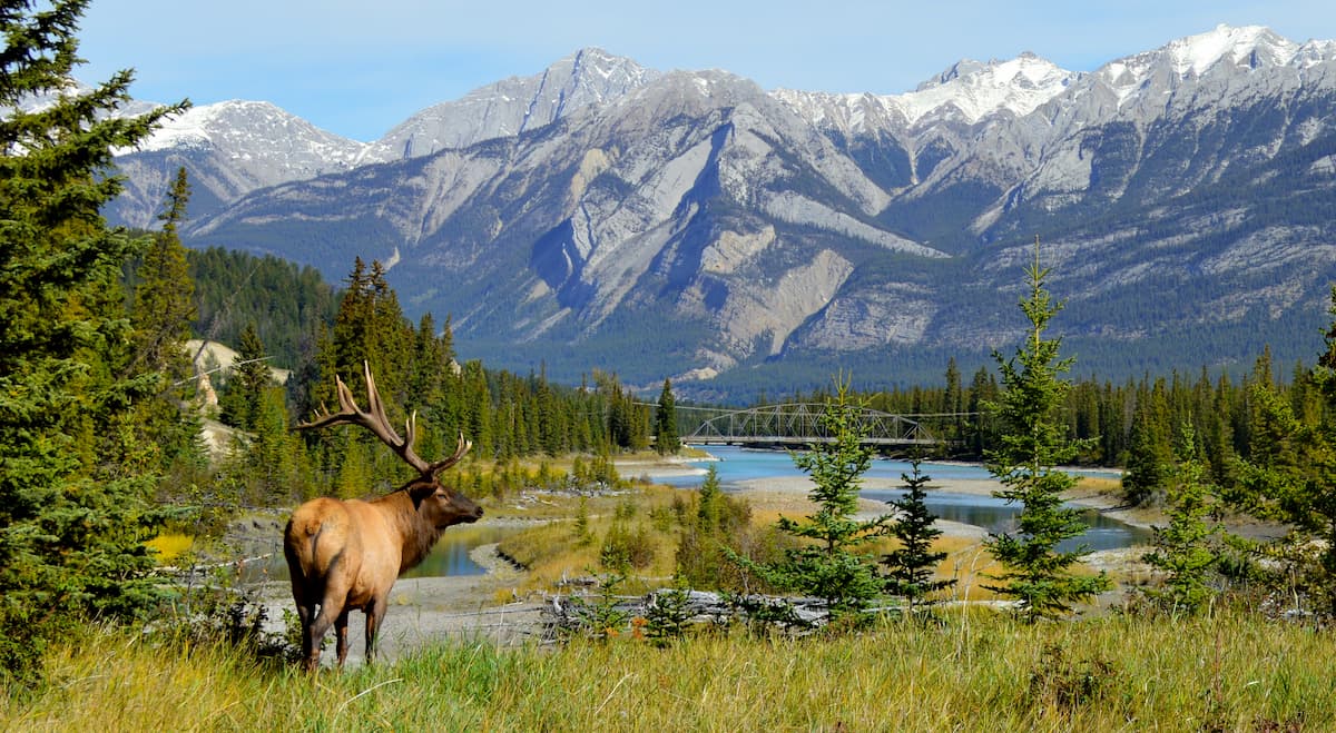
As far as wildlife goes, the Canadian Rockies are the perfect habitat for hundreds of species. Some of the most iconic species to call the Canadian Rockies home include moose, elk, caribou, bighorn sheep, mountain goats, coyotes, grey wolves, lynx, foxes, snowshoe hares, mountain lions, marmots, wolverines, black bears, and grizzly bears.
That being said, this northernmost section of the Rocky Mountains is particularly good grizzly bear habitat, so visitors to the region should come prepared to take proper bear precautions to ensure that all encounters with these majestic animals go as smoothly as possible for everyone involved.
The Canadian Rockies have been home to humans for thousands of years. Indeed, the range is part of the ancestral homelands of many First Nations, including the Tsuut’ina Nation, the Stoney Nakoda First Nation, the Métis Nation of Alberta, the Métis Nation British Columbia, the As'in'i'wa'chi Ni'yaw Nation (Kelly Lake Cree), the Piikani Nation, the Siksika Nation, among others.
During the late 18th century, Sir Alexander MacKenzie became the first person of European descent to cross the Rocky Mountains, having made the journey through the Fraser River Valley and successfully crossing what is now Canada from coast to coast.
Over the next few decades, the region became popular among fur trappers, many of whom came from France and Britain. The North West Company was one of the first to set up a trading post in the region, having established the Rocky Mountain House in the late 18th century. This eventually led to the establishment of a number of fur trading posts in the interior of what is now British Columbia.
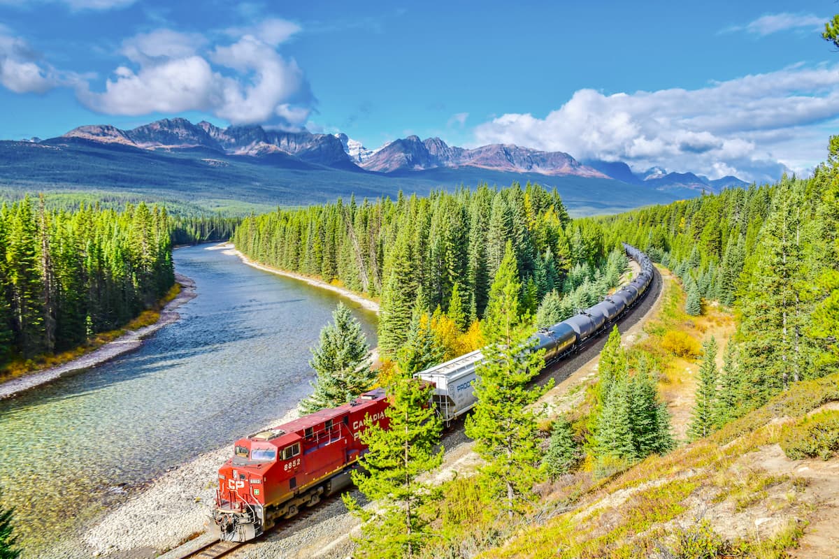
With the passage of the Dominion Lands Act in 1881, settlement from the eastern part of Canada increased rapidly in Alberta, and the arrival of the Canadian Pacific Railway in 1883 only brought more traffic to the region.
Around this time, settlers in the region that is now Calgary began to take note of the beauty of the mountains just to their west and a small area of 26 sq. km (10 sq. mi) was set aside near Banff to protect some recently discovered hot springs.
Just a few years later, after the passage of the Rocky Mountains Park Act in 1887, Banff National Park became the first national park in Canada. A few years later, the Stoney Nakoda First Nation was removed from their homelands in the new park to preserve the “pristine” nature of the region.
The establishment of Banff National Park helped to spur more tourism in the region as well as outdoor recreation around the country. It eventually led to the establishment of the Alpine Club of Canada in 1906 and the club frequently ran organized trips into the park. Other parks in the area, including Jasper and Yoho were established around the same time, though Kootenay National Park wasn’t created until a few decades later.
These days, the southernmost part of the Canadian Rockies remains highly popular among tourists and locals alike. Although the northern reaches of the range are fairly remote, there is plenty to see and do in the stunning Canadian Rockies.
Boasting 4 national parks and dozens of provincial parks, the Canadian Rockies are rife with outdoor recreation opportunities. Here are some of the most popular places to check out in the region:
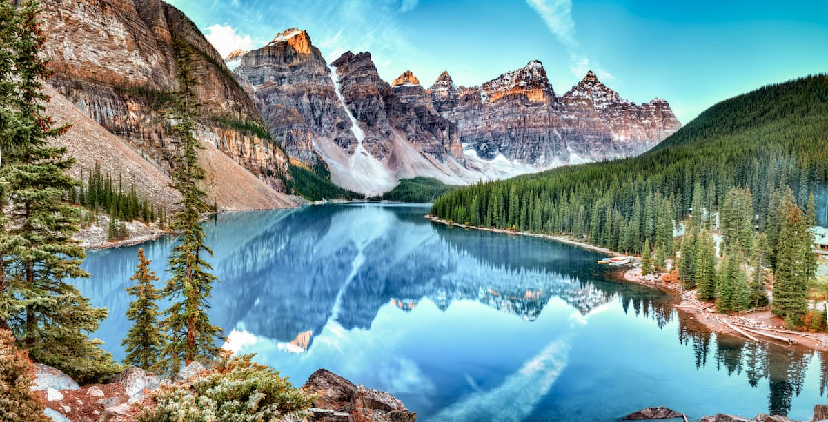
The most popular national park in Canada, Banff National Park is one of the Canadian Rockies’ crown jewels. Featuring 441 named mountains, the highest and most prominent of which is Mount Assiniboine, Banff is a must-visit for anyone heading to the region.
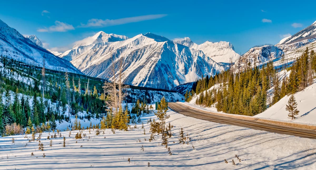
Thanks to its proximity to Calgary, Banff is pretty easy to get to by road. Once you’re there, you can head out and trek through the park’s countless hiking trails which lead to countless pristine lakes, glaciers, and stunning viewpoints. Many of the park’s best trails are located right along the Icefields Parkway, as are some of its top roadside viewpoints.
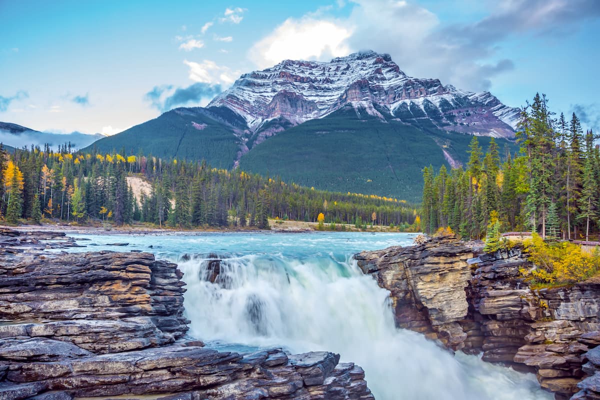
Located just to the north of Banff National Park, Jasper National Park is Canada’s second-most popular federally-protected area. The park contains 387 named mountains, the highest and most prominent of which is Mount Columbia.
Jasper is home to some truly magnificent landscapes, thanks to its many glacially-carved valleys, alpine meadows, and lakes. Even if you’re not quite feeling up for a major peak ascent, the park has plenty of hiking trails, like the Skyline Trail, to keep you busy.
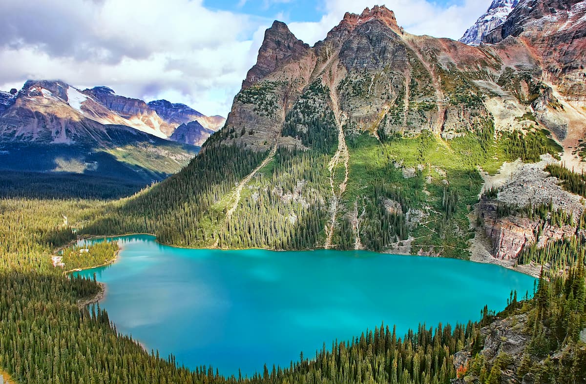
Situated to the west of Banff National Park, Yoho National Park in British Columbia is a sure bet for mountain lovers and waterfall chasers everywhere. Yoho contains 109 named mountains, the highest and most prominent of which is Goodsir South Tower.
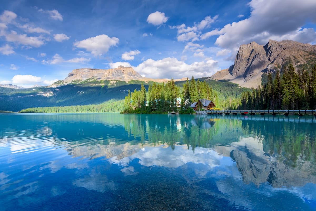
The park was initially created to help protect the watershed of the Kicking Horse River, but these days, it boasts hundreds of kilometers of hiking trails for visitors to enjoy. Some of the most popular trails in Yoho include the Lake O’Hara Alpine Circuit, the Iceline Trail, and the paths to both Wapta Falls and Emerald Lake.
Nestled to the south of Yoho National Park, to the west of Banff National Park, and to the east of Glacier National Park, Kootenay National Park is a federally protected area situated around the stunning mountainscape that surrounds the Banff-Windermere Highway. The park contains 67 named mountains, the highest of which is Deltaform Mountain, and the most prominent of which is Mount Ball.
Kootenay is known for its rugged landscapes, dense forests, raging rivers, and sprawling alpine meadows. It boasts hundreds of kilometers of trails for hikers to check out, including the Kootenay Rockwall Trail, the Kindersley-Sinclair Loop, and the path to Stanley Glacier.
Despite being home to some incredibly rugged terrain, much of the Canadian Rockies (particularly in the south) are fairly accessible. Here are some of the best places to stay if you’re planning a trip to the Canadian Rockies:
Located just east of the Canadian Rockies, the city of Calgary is a bustling metropolis situated at the confluence of the Elbow and Bow rivers. The city is home to about 1.2 million people and it’s just a short drive away from many of the major hiking destinations in the southern part of the range.
Consistently ranked as one of the most livable cities in North America, Calgary has seen a revitalization in recent years thanks in part to its great recreation opportunities. Calgary also has the region’s busiest airport, so it’s a great place to start your travels in the area.

The town of Banff is situated in the heart of the Canadian Rockies, just off the Trans-Canada Highway to the west of Canmore. Banff is located within its namesake national park and it is one of the most popular tourist destinations in all of Canada.
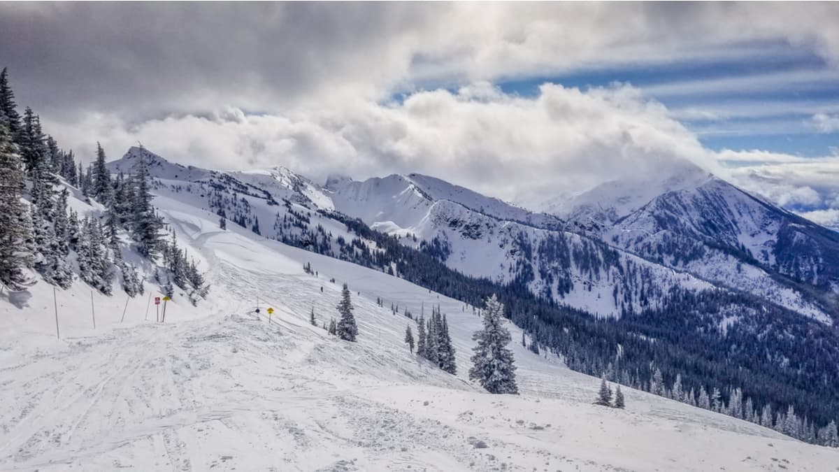
Known for its excellent skiing opportunity, Banff is also perfectly poised to serve as a basecamp for ventures into the region’s many national and provincial parks.
Although Revelstoke is technically located in the heart of the Columbia Mountains, its proximity to the Canadian Rockies makes it a nice place to start your adventures. Revelstoke is home to about 7,000 residents, though its population drastically increases in the winter months.
The city is perhaps best known as the site of the Revelstoke Mountain Resort, which is located on Mount Mackenzie and contains more vertical relief than any other resort in North America. Revelstoke is just 6 hours by car from Vancouver, 4.5 hours from Calgary, or just 2.5 hours from nearby Kamloops.
The largest city in the northern part of British Columbia, Prince Geogre has around 85,000 residents, making it the perfect access point to the northernmost reaches of the Canadian Rockies.
Prince George is situated along the intersection of Highways 16 and 97, so it’s a travel hub for northern British Columbia. The city also contains the busiest airport in northern BC, with flights to Vancouver and other major destinations on a daily basis.


ultra
11ers-bc
11ers-ca-rockies
fred-beckey-great-peaks
canada-sampler
british-columbia-ultras
ultra
glacier
11ers-bc
11ers-ca-rockies
canada-sampler
british-columbia-ultras
alberta-ultras
ultra
11ers-bc
11ers-ca-rockies
fred-beckey-great-peaks
canada-sampler
british-columbia-ultras
alberta-ultras
ultra
11ers-bc
11ers-ca-rockies
british-columbia-ultras
ultra
11ers-bc
11ers-ca-rockies
fred-beckey-great-peaks
canada-sampler
british-columbia-ultras
ultra
glacier
11ers-bc
11ers-ca-rockies
canada-sampler
british-columbia-ultras
alberta-ultras
ultra
glacier
11ers-ca-rockies
alberta-ultras
ultra
11ers-bc
11ers-ca-rockies
fred-beckey-great-peaks
canada-sampler
british-columbia-ultras
alberta-ultras
ultra
11ers-bc
11ers-ca-rockies
british-columbia-ultras
ultra
11ers-bc
11ers-ca-rockies
british-columbia-ultras
ultra
glacier
11ers-ca-rockies
alberta-ultras
ultra
11ers-bc
11ers-ca-rockies
british-columbia-ultras


