
Scan the QR code and open PeakVisor on your phone
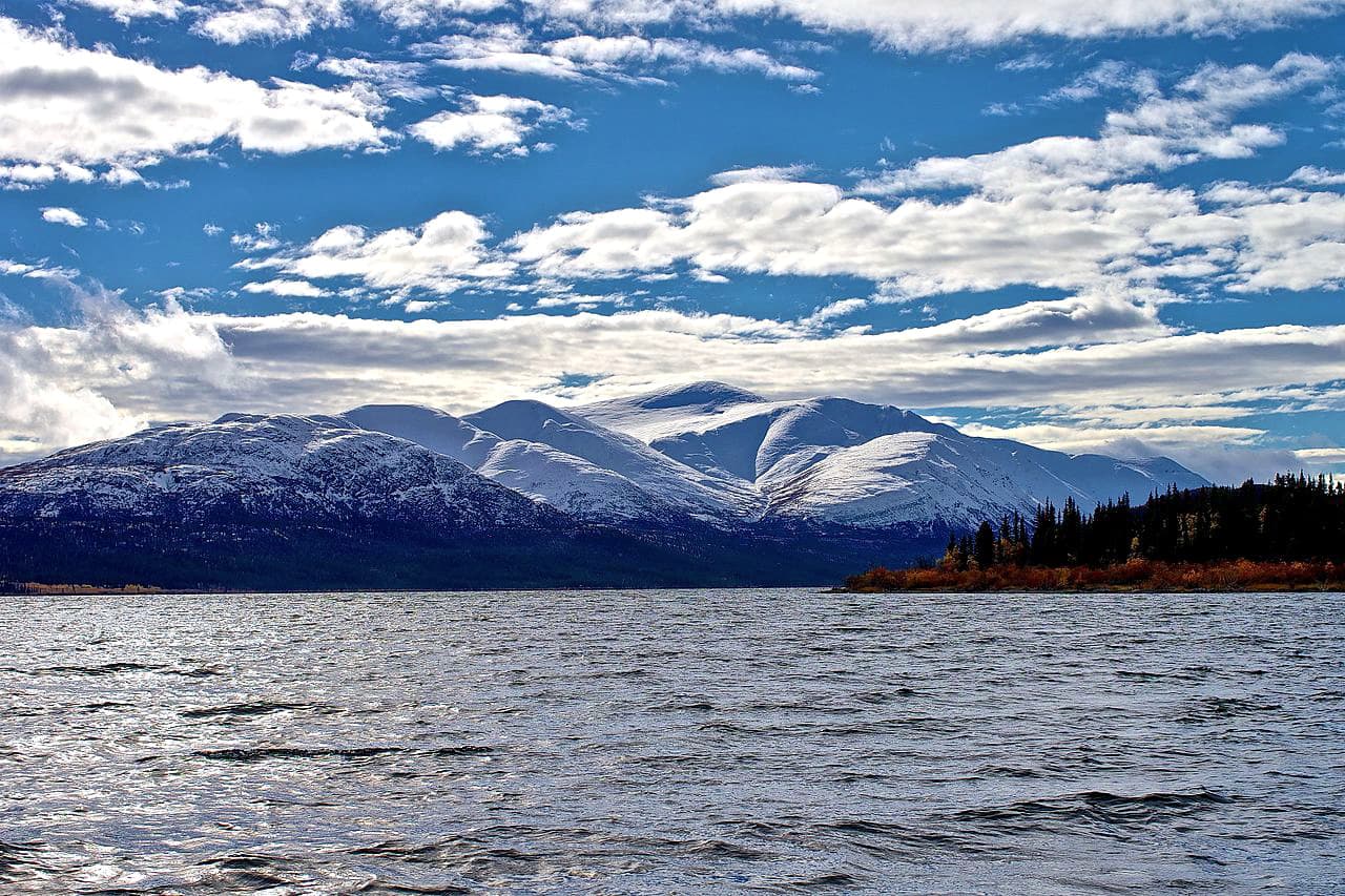
Situated in the Kootenay Ranges of the Rocky Mountain region, Top of the World Provincial Park is a 21,720-acre remote wilderness area jam-packed with 7,000-foot summits and world-class alpine terrain.
The area encompassed by the park was once the traditional territory of the Ktunaxa people, also known as the Kootenai or Kootenay. The Ktunaxa have occupied southeastern British Columbia, Southwestern Alberta, and parts of Washington, Idaho, and Western Montana for more than 10,000 years.
During the pre-colonial era, visitors would travel from the interior of British Columbia, Alberta, and Montana to mine chert, a grey, translucent, obsidian-like rock that was prevalent in this part of the Kootenays. Chert was a highly valuable stone, as it was less prone to shatter, making it ideal for manufacturing projectile points and bifaces. Today, several archaeological sites and artifacts can be found within the park boundaries.
Admirably referred to as an “alpine gem,” Top of the World contains craggy summits of the Hughes Range and Nostrand Range. Two of the park’s highest peaks, Mount Morro and Mount Dingley, as well as nearby summits, Mount Haley and Flett Peak, were named to honor members of a Rover group that explored the Kootenays prior to joining the Royal Canadian Air Force during WWII. All four were killed in action while serving with Bomber Command.
Small populations of large mammals inhabit Top of the World, including moose, bighorn sheep, elk, mountain goat, wolverine, and white-tailed deer. Marmots are also periodically spotted at higher elevations in the park. Fish Lake supports a healthy variety of bird species, including Steller's jays, Clark’s nutcrackers, gray jays, and pine grosbeaks.
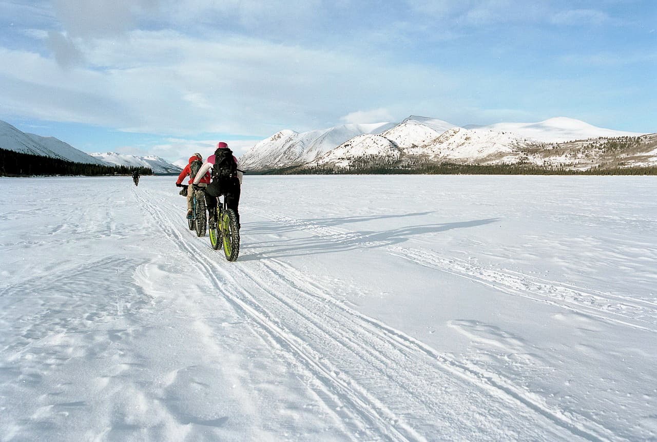
Most visitors to Top of the World opt to camp or hike, though cycling and horseback riding are also permitted. Horseback riding is permitted on the Fish Lake horse trail and the Coyote Creek and Galbraith Creek trails. Mountain Bikers can ride a 3.7-mile trail between Nicol Creek and Fish Lake. In the winter, the park is also a popular destination for cross-country skiing, snowshoeing, and ice fishing.
Most of the maintained trails in the park start from Fish Lake. Fortunately, this is an easy, well-maintained, and relatively flat 4-mile trail trek. The trail travels through cool, dense forest and beyond a previous slide to Sayles meadow. From there, hikers can cross the creek and take the horse trail back to the parking lot. Campsites or a Cabin are all available at Fish Lake.
From Fish Lake, hikers can continue 2 miles to expansive views of Lussier Valley, Mount Morro, and the surrounding alpine meadows. The trail up to the Alpine Viewpoint begins as a maintained trail before emerging near the bottom of a large scree slope. At this point, a rugged path continues up. The footpath to Alpine Viewpoint ends at a large slide path, so hikers are urged to tread lightly.
Located at the west end of Fish Lake, at the bottom of the slide area, the trail to Wildhorse Ridge is not for the faint of heart. Climbing nearly 2,000 feet in less than 2 miles, the trail to Wildhorse Ridge features impressive views of Dolomite Lake, Mount Doolan, and the surrounding wilderness.
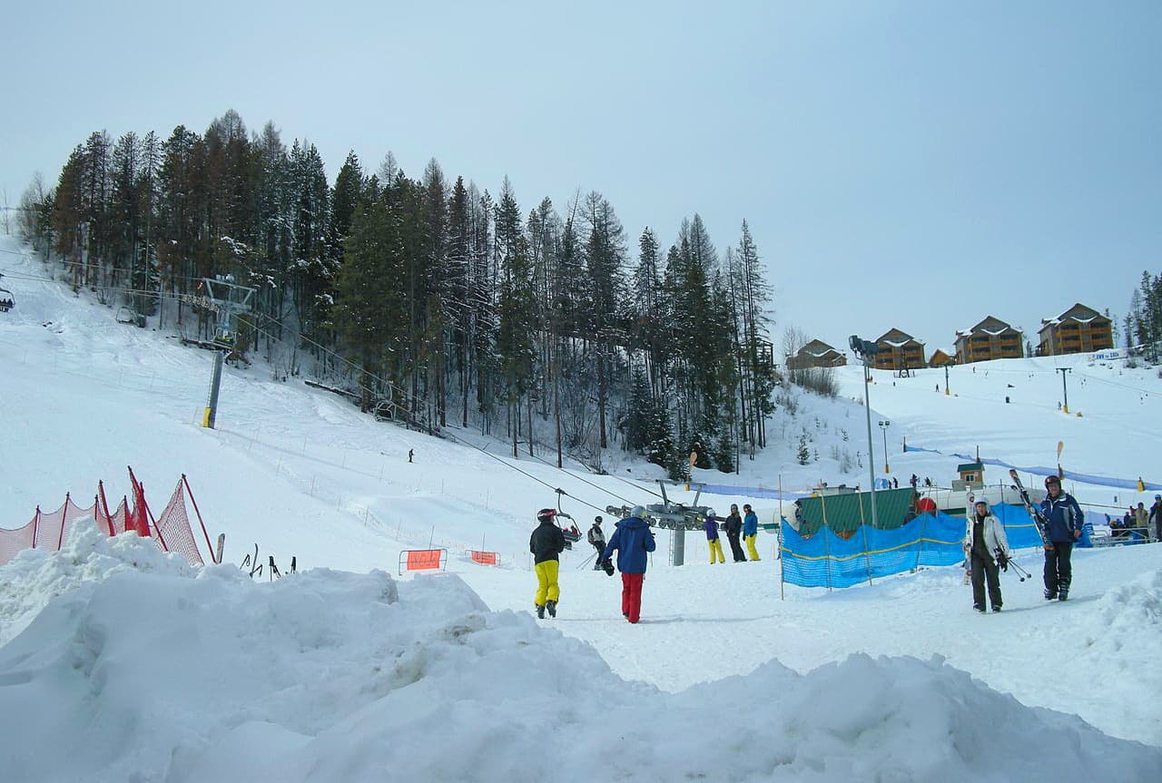
Kimberley was once home to the world’s largest lead-zinc mine, the Sullivan Mine. Today, however, Kimberley has been transformed into a bustling tourist destination for enthusiastic hikers and skiers. Home to the Kimberley Alpine Resort and the largest incorporated park in Canada, Kimberley Nature Park, this iconic mountain town is best-known for its world-class skiing, snowboarding, hiking, biking, kayaking, snowmobiling, and fishing.
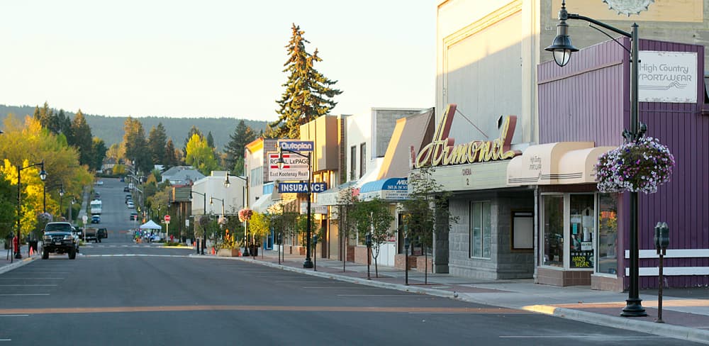
Surrounded by prominent peaks, including 4,400-foot Mount Fisher, Cranbrook is a scenic city nestled in the Rocky Mountains. Visitors to Cranbrook can easily access Top of the World, or take advantage of several nearby hiking trails, like the Chief Isadore trail or Lakit Lookout. 17 miles of paved trail also link Cranbrook to nearby Kimberley. Visitors can stay next to nature at the Elizabeth Lake Lodge, sleep in a train car, sleep at Fort Steele Heritage Town, or kick back and a variety of other accommodations scattered throughout Cranbrook.


.jpg)