
Scan the QR code and open PeakVisor on your phone
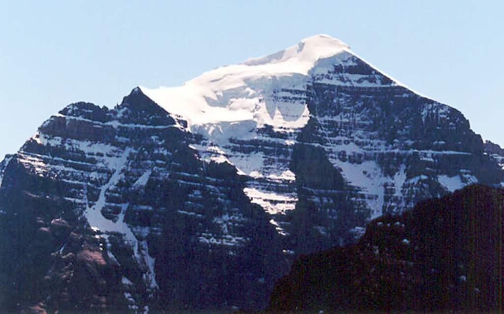
The Bow Range is a mountain range located in both Alberta and British Columbia, Canada. The range is part of the Canadian Rockies that span from north to south. This range is part of the Banff-Lake Louise Core Area of the Southern Continental range since it is located on the continental divide. Bow Range extends into parks of the Banff National Park and the Kootenay National Park. There are 82 named mountains in Bow Range. The highest and the most prominent mountain is Mount Temple at 3,544 meters.
The Bow Range covers an area of 717 square kilometers across the Canadian Rockies. Within the range also lies the Valley of the Ten Peaks. This includes the tallest of the ten peaks, Mount Hungabee at 3,492 meters. Other designated hiking areas within the range include Sentinel Pass-Larch Valley, Consolation Lakes, Wenkchenma Pass, Beehine Plain and the SaddleBack Pass. The wildlife in the range is similar to that of the surrounding parks. This includes grizzly and black bears, elk, deer, cougar, coyote, lynx, wolf, mountain goat, red fox, and numerous others. Woodland caribou are endangered in the area and it is unknown how many remain within Banff National Park and the surrounding area. Due to the extreme weather conditions of the Bow Range, there are very few reptiles and/or amphibians that live in the region.
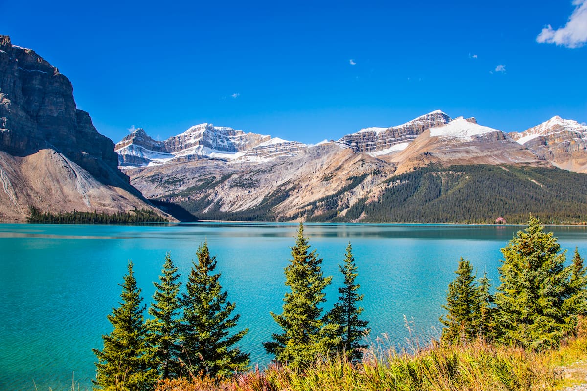
The Banff National Park, that is part of the Bow Range, is the most visited destination in Alberta. The bright blue lakes, surrounded by the rugged peaks, make this park one of the most visited parks in all of North America.
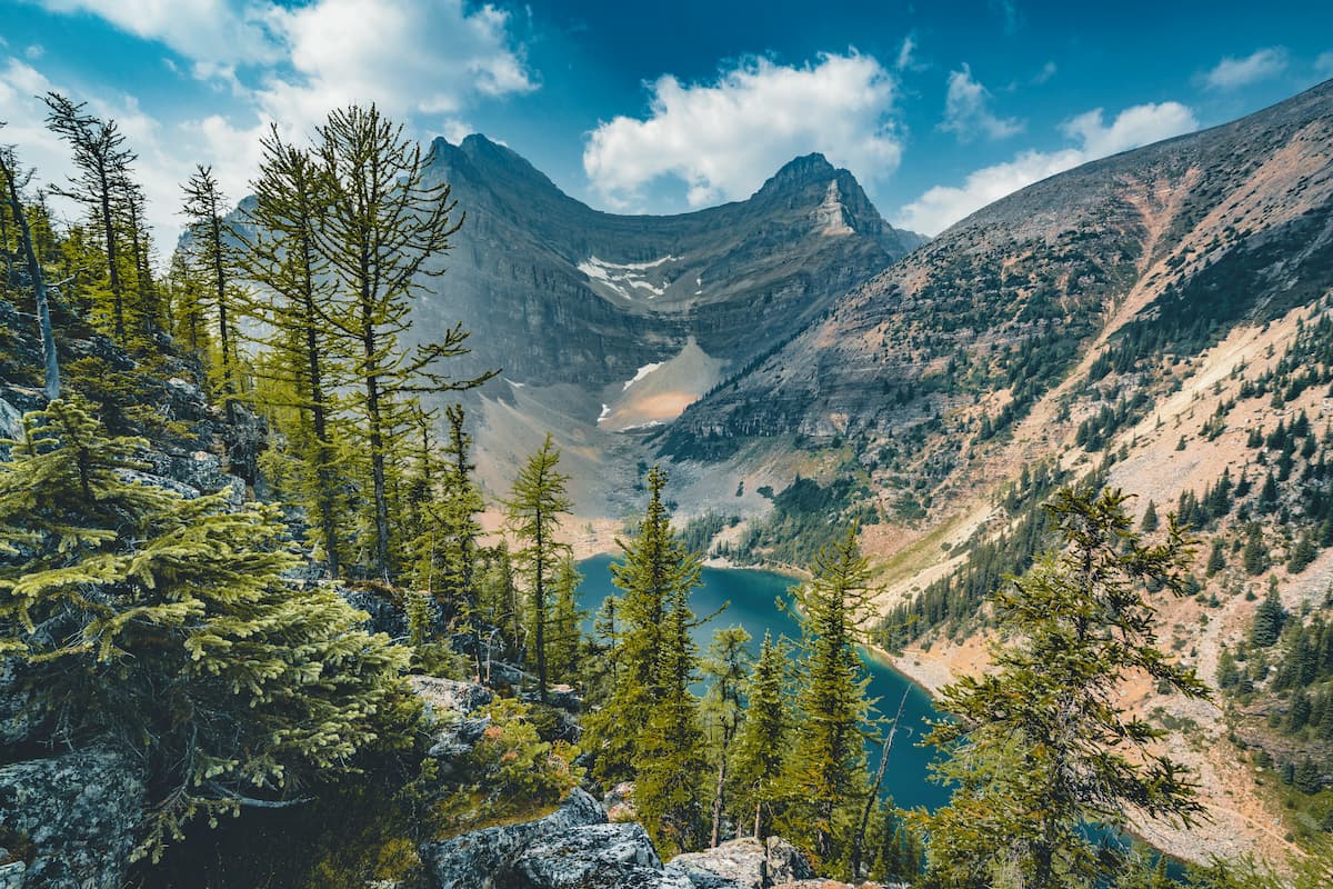
Banff National Park: As Canada’s oldest and most visited national park, this region is home to arguably some of the most beautiful hikes in the world. Home to the iconic Lake Louise, Banff National Park is a hiker’s paradise. There are over 240 trails within the park with trails ranging from a pleasant stroll along the lake, to backpacking some of the tallest peaks in the range. One thing all the hikes have in common is their abundance of natural beauty.

Kootenay National Park: Nearby Kootenay National Park covers 1,405 square kilometers across eastern British Columbia. Major hikes within the park include the multi-day trail, Rockwall trail, Floe Lake, Numa Creek, and trails on Redstreak Mountain. Hiking in this National Park if full of glacier lakes, iconic Radium Hot Springs, and Marble Canyon. A diverse region full hiking for any type of adventure.
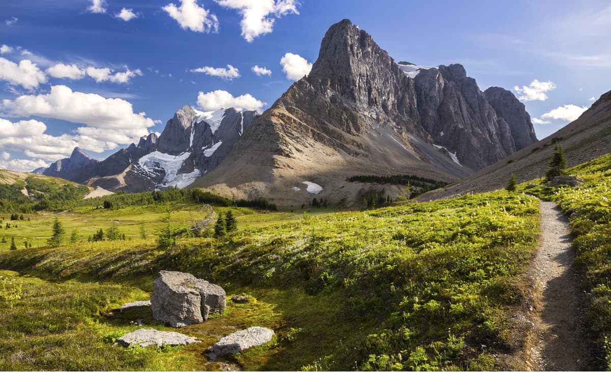
Wenkchemna Pass: The main trail for this pass is the Wenkchemna Pass Trail. The 17-kilometer trail has just over 1,000 meters of elevation gain to reach the pass. The steep trail ascends through the forest before the final scramble up to the pass. Hikers are greeted with an alpine lake and surrounded by the snow capped peaks of the Bow Range.
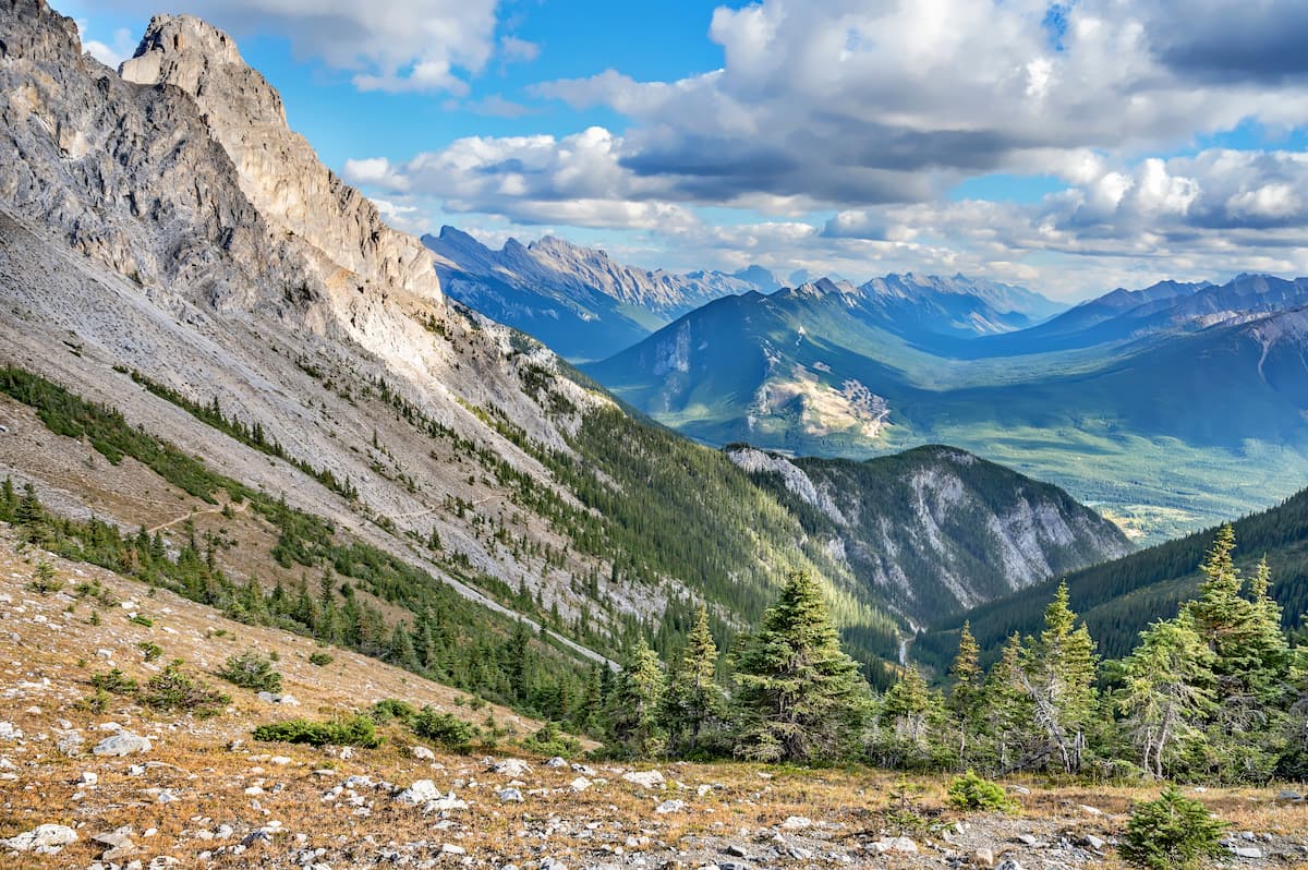
Saddle Pass: Located within the Banff National Park, amongst the Bow Range, lies Saddle Pass. The trail up Saddle Mountain is 8-kilometers with 657 meters of elevation gain. Located just off of Lake Louise, this mountain pass offers some of the best views in the entire range. The Bow Range stretches out on all sides with the ever-blue Lake Louise below.
Banff is an iconic resort town located in Alberta, Canada. The city is located within the Banff National Park which sits in the Rocky Mountains. The crystal blue waters of Lake Louise have been named as one of the most beautiful places in Canada, as well as the world. During the summer months the town is full of tourists looking for their next outdoor activity. In the winter months skiing, snow shoeing, and cross-country skiing are available due to the proximity to the mountains. Banff National Park was the first park to be established within the country. The city sits just two hours northeast to the east side of Purcell Wilderness Conservancy Provincial Park.

Located an 1:30 east of Banff, lies the city of Calgary, Alberta. This major citty is located at the confluence of the Elbow and Bow Rivers in the foothills of the Canadian Rockies. The city has a population of 1.4 million making it the fourth largest city in the entire country of Canada. Due to its proximity to the mountains, Calgary is a popular destination for outdoor sports. In the summer months the city is full of hiking, running, and mountain biking trails. In the winter months the area is full of skiing, cross-country skiing, hockey, and snowshoeing.


ultra
11ers-ca-rockies
canada-sampler
alberta-ultras
ultra
11ers-ca-rockies
canada-sampler
alberta-ultras


