
Scan the QR code and open PeakVisor on your phone
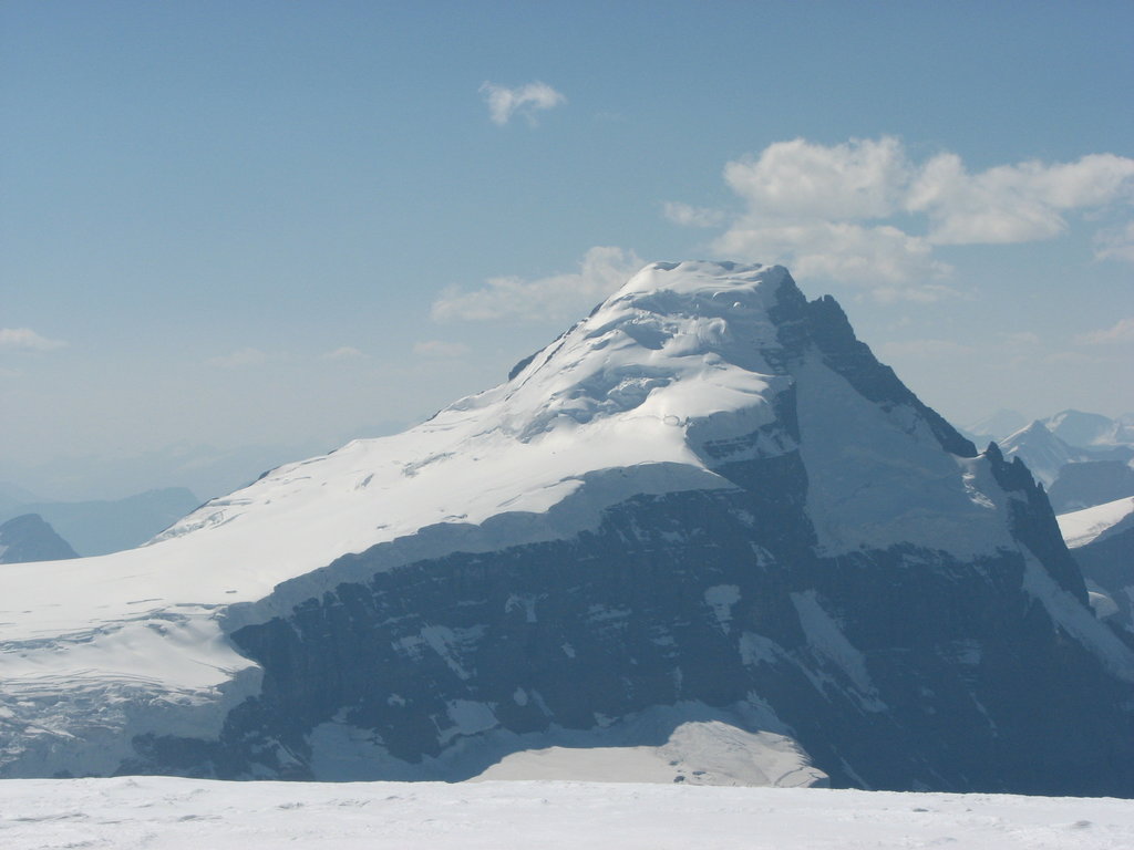
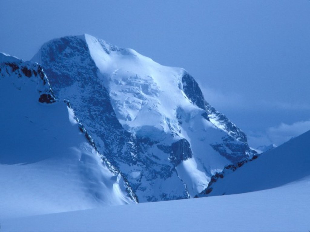
The Columbia-Shuswap Regional District is a regional district located in British Columbia, Canada. The district is located in the southeastern region of the province. To the south of the district lies the Okanagan region. The regional district covers an area spanning 28,929 square kilometers and has a population just over 50,000. There are 760 named mountains in Columbia-Shuswap Regional District. Mount Columbia is the highest point at 3,747 meters. The most prominent mountain is Mount Sir Sandford with 2,687 meters of prominence.
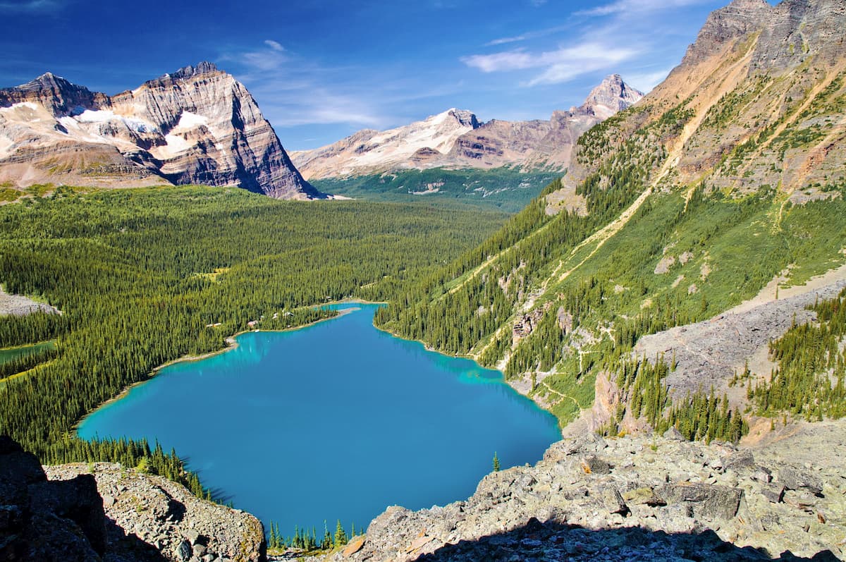
The eastern half of the district is dominated by the rugged peaks and glaciers of the Canadian Rocky Mountains. The western half is known for the Shuswap Lake System, full of rivers, waterfalls, rain forests, and the lush green landscape. There are four distinct regions within the district including Golden, Revelstoke, Sicamous, and Salmon Arm.
The city of Golden is located with the eastern side of the Columbia-Shuswap Regional District. The surrounding area sits beneath the Glacier Mountains and along the Columbia River. Here there is an abundance of outdoor activities from hiking to skiing, and fishing within the waterways. West of this region lies the land surrounding the city of Revelstoke. Here the scenic Selkirk Mountains dominate the landscape helping make this region world-renowned for its backcountry skiing. The warmer months provide gorgeous hikes through these icon peaks. East of the Selkirk Mountains lies Shuswap Lake. The long lake consists of four arms; Salmon, Shuswap, Seymour, and Anstey Arm. Shuswap Lake is a prominent feature when it comes to fishing and hiking the surrounding land.
Wapta Falls: This 5-kilometer hike is one of the most iconic in the entire regional district. The impressive falls stand 18 meters high and 107 meters wide. Located within the Yoho National Forest, these falls are the largest on the Kicking Horse River. The average flow of the falls is 96 cubic meters per second. The falls can be viewed year-round though the road to the falls is closed during the winter. Because of this closure, the hike totals 9 kilometers in the winter.

Thompson Falls: Located just outside the city of Golden, lies Thompson Falls. This 12-kilometer hike has 460 meters of elevation gain. The trail winds steadily through the lush forest before finally reaching the falls. Along with the falls, hikers are greeted with impeccable views of the canyon below as the clear blue waters continue to flow.
Eva Lake and Miller Lake Trail: Located just north of the city of Revelstoke lies this lake hike sitting within the Mount Revelstoke National Park. The trail totals 15 kilometers with just under 500 meters of elevation gain. The trail climbs and dips throughout the forest before reaching the pristine lakes. From the lake, hikers have impeccable views of the Selkirk Mountains surrounding them.

While these hikes are iconic for the Columbia-Shuswap Regional District, there are hundreds of hikes throughout the protected land of the regional. Noteable areas to hike include Mount Revelstoke National Park, Glacier National Park, and the Yoho National Park.
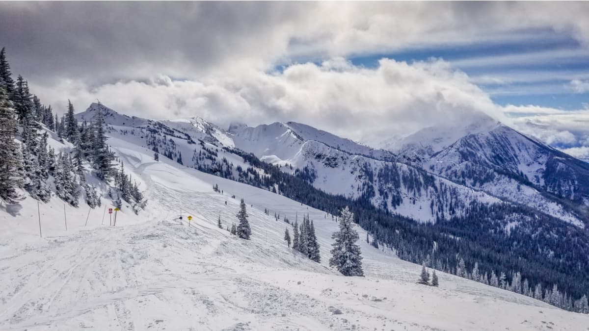
Just north of this district lies the city of Revelstoke with a population of approximately 8,000. The city lies along the Columbia River just south of the Revelstoke Dam. The town is a haven for outdoor enthusiasts due to its close proximity to the mountains. The Selkirk Mountains lie just to the east along with Glacier National Park. During the winter months the town transforms into a skier’s paradise with Revelstoke Mountain Resort which is home to North America’s largest amount of vertical for a ski resort. The small city is also home to the largest amount of snowfall ever recorded by a Canadian city totaling 24 meters in a single winter.
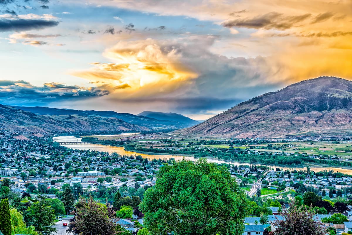
Located just west of the regional district, lies the city of Kamloops, British Columbia. The city sits at the confluence of the two branches Thompson River and Kamloops Lake. With a population of just over 100,000, the city is the one of the largest located north of Vancouver. Surrounded by the Cascade Mountains, Kamloops is a mecca for outdoor activities. An extensive trial network offers ample opportunity for hiking and mountain biking year-round. The city is known as the “Tournament Capital of Canada” and often hosts many sporting events. Just east of the city lies Sun Peaks Resort, for skiing and snowboarding.


-R4.jpg)
ultra
glacier
11ers-bc
11ers-ca-rockies
canada-sampler
british-columbia-ultras
alberta-ultras
ultra
11ers-bc
11ers-ca-rockies
british-columbia-ultras
ultra
11ers-bc
canada-sampler
british-columbia-ultras
ultra
11ers-bc
canada-sampler
british-columbia-ultras
ultra
glacier
11ers-bc
11ers-ca-rockies
canada-sampler
british-columbia-ultras
alberta-ultras
ultra
glacier
11ers-bc
british-columbia-ultras
ultra
11ers-bc
11ers-ca-rockies
british-columbia-ultras


