Scan the QR code and open PeakVisor on your phone
Established in 1987, Kakwa Provincial Park straddles the Continental Divide, covering roughly 422,278-acres of northeast British Columbia along the provincial boundary with Alberta.
Despite its steep terrain and lack of accessibility, Kakwa first enticed hunters and climbers in the early 1900s. The park was first proposed for protection in 1971, amidst mounting threats from logging and mineral development. Over a decade later, in 1987, the Kakwa Recreation Area was formed and in 1999, Kakwa received Class A Provincial Park designation.
Kakwa is the most northerly protected area in a continuous 372-mile chain along the spine of the Rockies. The park shares its eastern boundary with Kakwa Wildland Provincial Park and Willmore Wilderness Park. Together, these parks make up the Kakwa-Willmore Interprovincial Park, the first interprovincial Park for British Columbia and Alberta. Kakwa is also part of the largest protected and un-roaded wilderness in southern Canada.
Kakwa encompasses portions of the Front Ranges and the Southern Hart Ranges. The open, rounded ridges and meadows of the Front Ranges make Kakwa a renowned destination for snowmobiling and backcountry hiking. Popular snowmobiling areas in the park include Babbette, Cecilia, and Kakwa Lakes, Sheep Pass, and McGregor Pass.
Though Kakwa encompasses a total of 53 named mountains, two iconic summits decorate the park’s skyline, Mount Sir Alexander, the northernmost peak over 10,500 feet in the Rocky Mountains, and Mount Ida, a pyramidal summit that is often identified as the “Matterhorn of the North.
In addition to showcasing and protecting ice-clad summits, Kakwa also protects significant cave, fossil, and dinosaur track sites. A number of caves have been discovered in limestone formations within the park boundaries, though many of them are still unexplored.
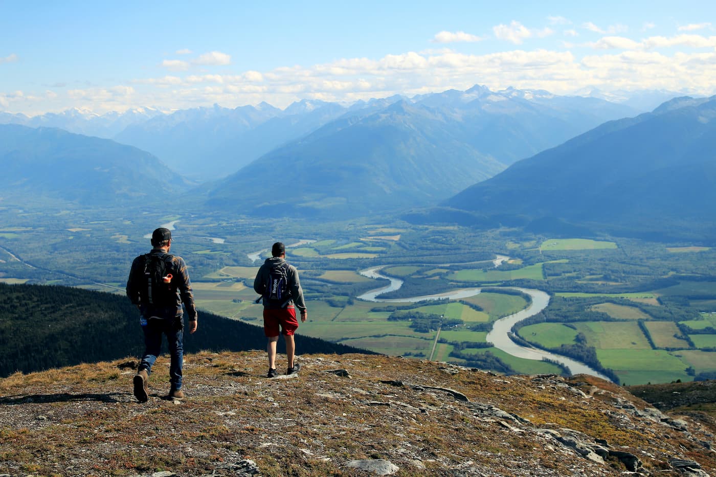
Known as a world-class wilderness, Kakwa is a particularly popular destination for hiking, backpacking, climbing, and fishing. The park’s high peaks, including Mount Dimsdale, Pommel Mountain, Mount Ida, and Mount Sir Alexander, are beloved by mountaineers, while primitive routes near Kakwa Lake provide plenty of opportunities for backpackers and day hikers to explore lush alpine meadows and summits nearby peaks, including Mount Ruth and Mount Ian Monroe.
Though Kakwa was established to provide sustainable, low-impact recreation, the park’s preservation is a principal priority. Kakwa provides an important habit for several vulnerable species, including grizzly bears, Rocky Mountains bighorn sheep, mountain goat, and northern (boreal) caribou.
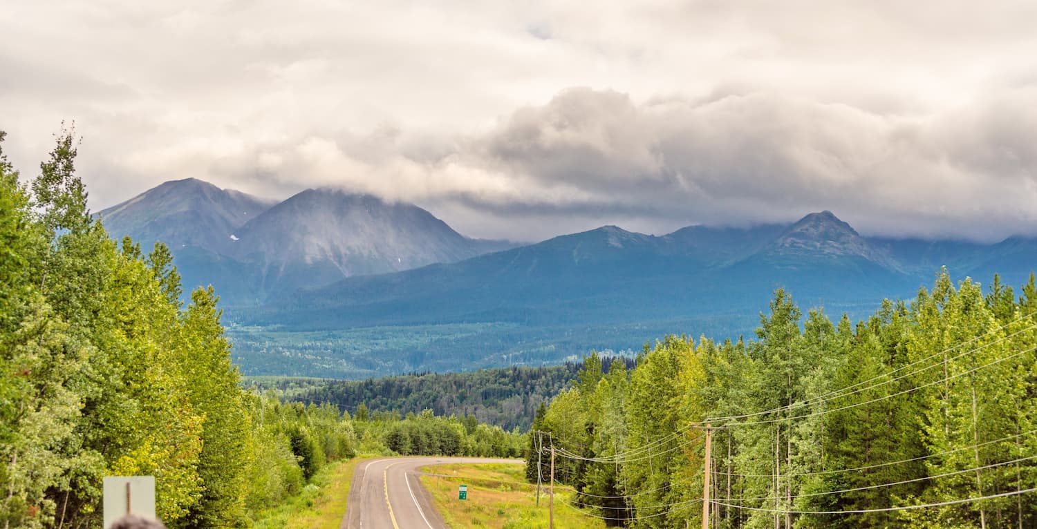
Due to the remote nature of the park, access roads leading to and from the park are uneven, rutted, and unmaintained. Visitors to the park are urged to only attempt the road with a high clearance, 4x4 vehicle.
Several hiking routes exist in Kakwa Provincial Park. However, trails in the park are unmarked and not maintained. Visitors are expected to be self-contained and properly equipped for backcountry, wilderness travel. That park’s most popular, primitive trails are located near Kakwa, Cecilia, and Jarvis lakes and include trails to the Jarvis Lakes cabin, Sheep Pass, and into the Kitchi Creek and Edgegrain Creek watersheds.
Located at the junction of Alaska Highway 97 and the Yellowhead Highway 16, Prince George is British Columbia’s “Northern Capital.” The city sits on the traditional lands of the Lheidli T’enneh First Nation, whose name translates to “people where the rivers come together.” British Columbia’s fourth largest city, Prince George not only offers plenty of amenities and accommodations but is also a community centered around outdoor recreation. The Fraser and Nechako rivers are focal points of an extensive park and trail system within the city, and there are more than 100 parks and green spaces to explore.
Located in the Mount Robson Valley, McBride is a vibrant community founded in 1913 as Mile 90 of the Grand Trunk Pacific Railway. Although much smaller than Prince George, McBride is known for its all-seasons outdoor recreation. Cross-country skiing, ice fishing, and world-famous snowmobiling trails draw visitors to McBride every year.