Scan the QR code and open PeakVisor on your phone
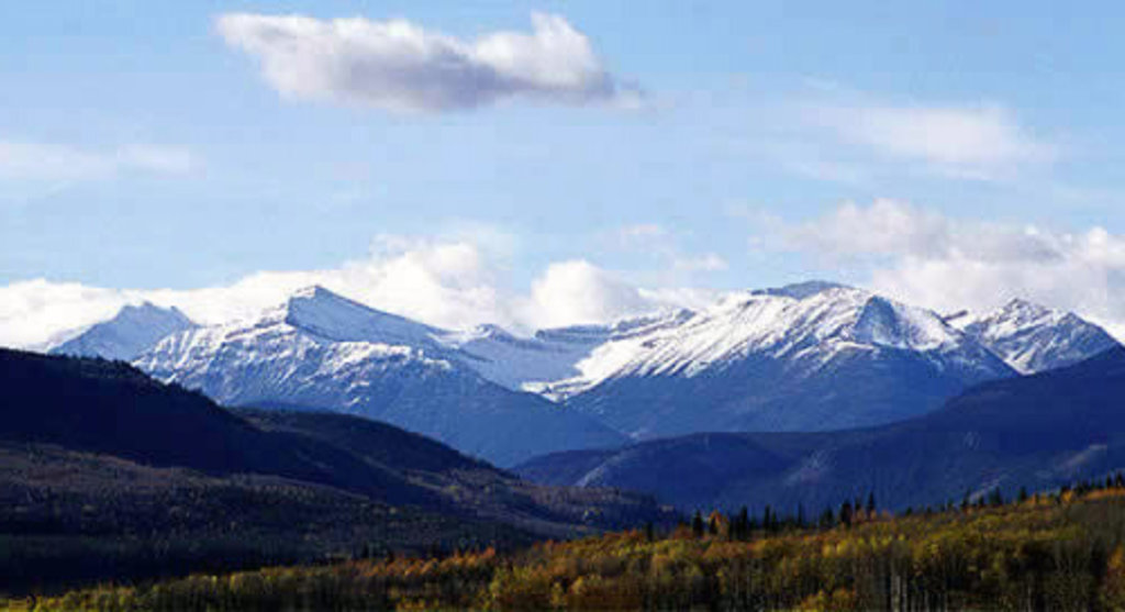
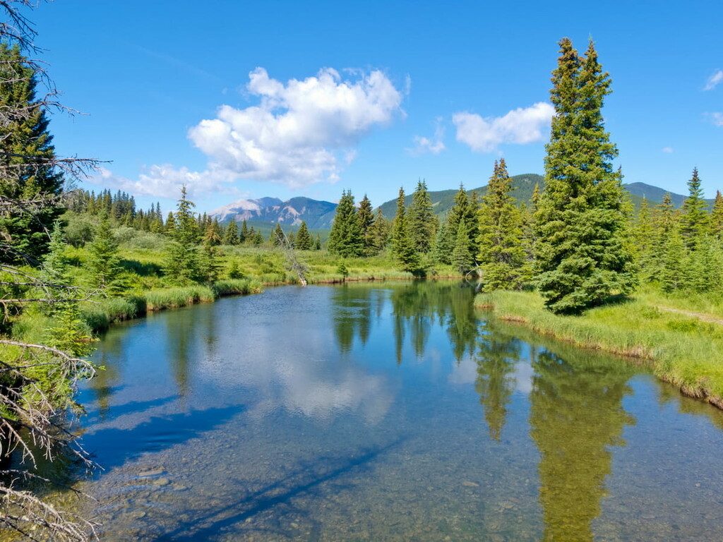
The Willmore Wilderness Park is located in Alberta, Canada near the British Columbia border. The park was established in 1994 and covers 1,778 square miles of land across the province. Though beautiful on its own, the park is also well known due to being located adjacent to Jasper National Park. The Willmore Wilderness Park is also surrounded by Kakwa Wildlands Park, Kakwa Provincial Park and the Rock Lake Provincial Park. There are 76 named mountains in Willmore Wilderness Park. Resthaven Mountain is the highest point at 10,171 feet. The most prominent mountain is Mount Pauline with 3,625 feet of prominence.
The park is primarily used for research purposes at the Willmore Biodiversity Monitoring Project and the Alberta Experimental Wolverine Monitoring Project. Prior to European fur traders moving in during the early 1800’s the region was occupied by First Nation tribes dating back to 10,000 BC as the.
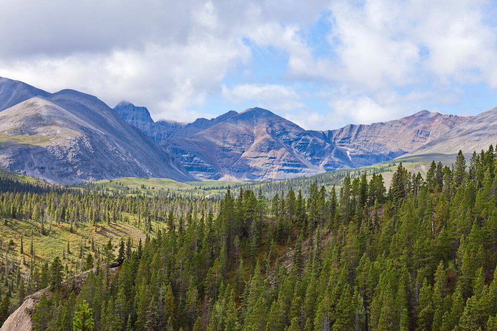
Because the park is less trafficked by humans than much of the surrounding area, it is home to a large amount of both mountain goats and bighorn sheep. It is estimated that nearly 20% of the province's population of these animals lies within the Willmore Wilderness Park. Like much of the region, the park is also home to black bears, grizzly bears, elk, deer, caribou, wolverines, cougars, wolves, and lynx. Lower elevations in the park primarily contain spruce, pine, fir and aspen poplar trees. The rugged and exposed mountains tower above the subalpine forest, creeks, and meadows.
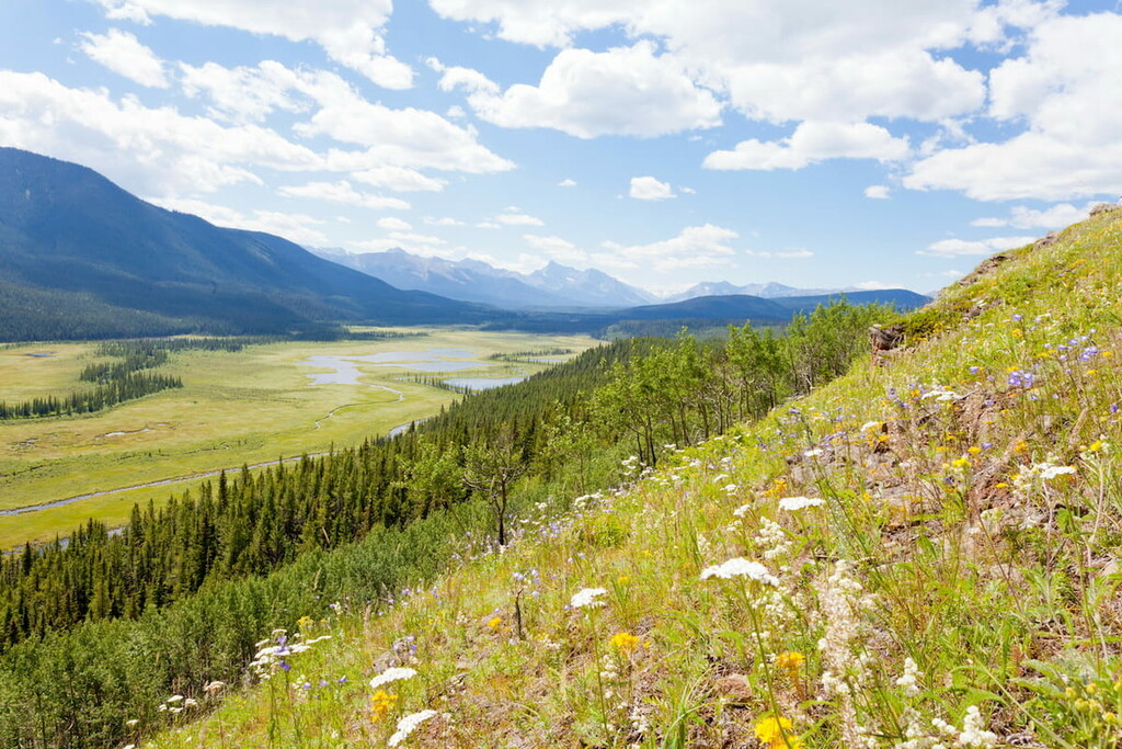
There are no main roads through the park and motorized vehicles are not allowed throughout. Thus, transportation through the park is done by foot, horse, bike, or ski. There are campsites and hiking trails throughout the park which are used during the summer months. Along the Smoky River visitors can also canoe, whitewater raft, and fish. During the winter, cross-country skiing is a popular activity. While there aren’t many designated trails that lie solely in the park, Indian Trail, Pope Thoreau Trail, and the Great Divide Trail all pass through the park.
Eaton Falls Trail: One of the most popular hikes in the park is the Eaton Falls Trail. This 4.4-mile out and back trail has 1,100 feet of elevation gain. The trail winds through the forest before climbing along an open field and reaching the falls. The multi-tier falls tumble during the jagged rocks, synonymous with the surrounding mountains. The trail can be accessed throughout much of the year with the falls freezing during the winter months.
Manzer Lake: The Manzer Lake via the Mountain Trail is a 26-mile out and back route with just over 3,000 feet of elevation gain. The route climbs through the park steadily before finally reaching Manzer Lake. Though it can be completed in a day, the route can also be backpacked.
Cowlick Creek Trail: This 22-mile out and back trail has over 3,000 feet of elevation gain. The trail wanders through the subalpine forest that is interspersed with open fields. There are many creeks throughout the route making for great spaces to fill up water or set up camp for the evening.
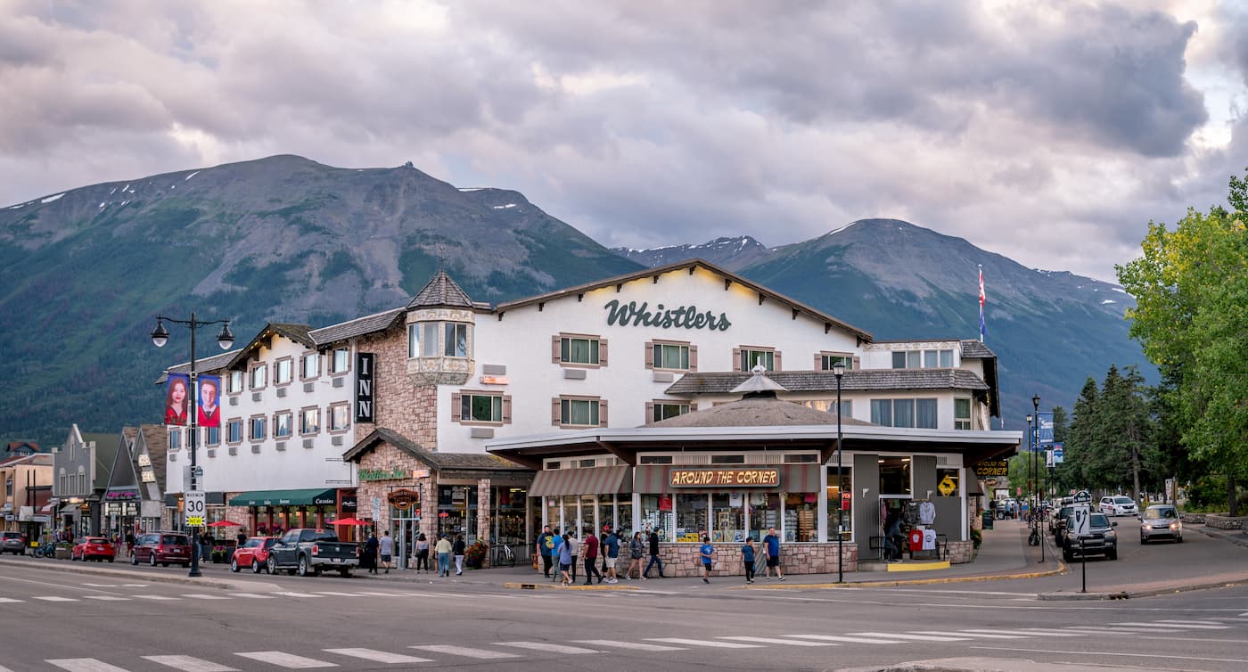
Located on the south side of Jasper National Park lies the city of Jasper. The city itself is centered around its proximity to the national park. The small city has a population of around 5,000 residents and sits at the confluence of the Athabasca River and the Miette River. The Maligne Range, Pyramid Mountain, and the Victoria Cross Ranges surround the small mountain town. Because Jasper is surrounded by nature, it is full of outdoor activities throughout the year. The downtown is lined with local shops, art galleries, and restaurants.
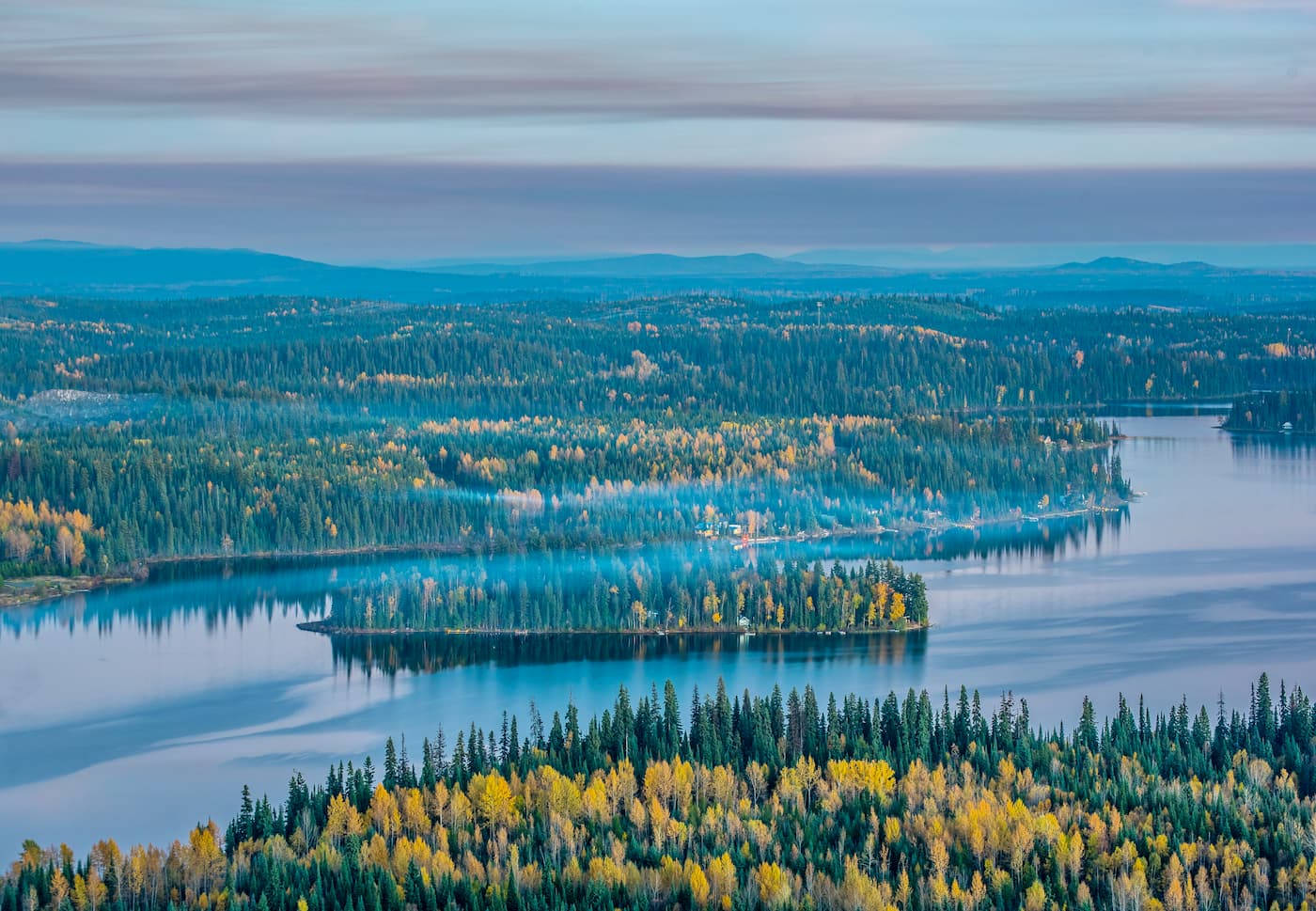
The city of Prince George is located 4 hours west of the Willmore Wilderness Park. With a population of nearly 90,000, Prince George is the largest city located in northern British Columbia. The city is situated at the confluence of the Fraser and Nechako rivers near the transition of the northern and southern Rocky Mountain Trench. Within the city there are riverfront trails although the city is known for being close to four provincial parks. The parks offer an abundance of trails as well as skiing.