
Scan the QR code and open PeakVisor on your phone
Named after members of the reigning British royal family, the Royal Group is a small, isolated subset of the Canadian Rockies that lies on the western side of the continental divide in Height of the Rockies Provincial Park.
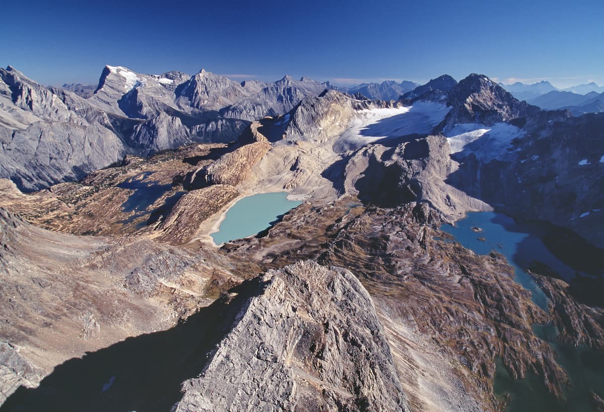
The centerpiece of the Royal Group is Mount King George, an imposing peak named after King George V that towers to over 11,000 feet. However, several nearby Royal Group summits rise to over 10,000 feet, including Mount Queen Mary, Mount Prince Edward, Mount Prince Henry, and Mount Prince John.
The east face of King George was first climbed in 1919, but the peak wouldn’t be climbed again until 1970. This 50-year climbing hiatus is generally attributed to the peak’s demanding and technical approach. King George is not only inaccessible by paved road, but it also requires navigating through the unkempt and unforgiving wilderness.
Extensive alpine meadows and lush avalanche paths can be found along the slopes of Mount Queen Mary and Mount King George. This region also serves as an important habitat for grizzly bears and is home to significant populations of elk, mule and white-tail deer, moose, bighorn sheep, wolf, wolverine, lynx, and cougar.
Very little archeological work has been completed near the Royal Group. However, there is evidence of prehistoric occupation dating back 10,000 years in the East Kootenays.
Located in the Western Caldera, remarkable peaks in the Royal Group, like Mount King George and Mount Prince Henry, are composed of sedimentary rock that formed in shallow seas and was pushed east and over the top of younger rock between 35 and 55 million years ago.
Height of the Rockies Provincial Park can be accessed via six major trailheads, some of which are located along dusty summer logging roads, while others begin from Banff, Elk Lakes, and Peter Lougheed parks.
Though no designated trails in the park lead directly to Royal Group summits, several user-maintained routes and unmarked footpaths lead to alpine lakes and glaciers nearby. Experienced hikers and climbers can use guidebooks and recent trip reports to prepare themselves for a summit attempt of Mount King George, Mount Princess Mary, or Mount Prince Albert.
Popular routes within Height of the Rockies Provincial Park include: The Joffre Creek trail, Palliser Route, Queen Mary trail, and the Maiyuk trail.
At Queen Mary Lake, an 8-person log cabin is available on a first-come, first-served basis. The cabin is equipped with a wood stove and there is a pit toilet nearby. Queen Mary Lake is accessible via a 5-hour hike.
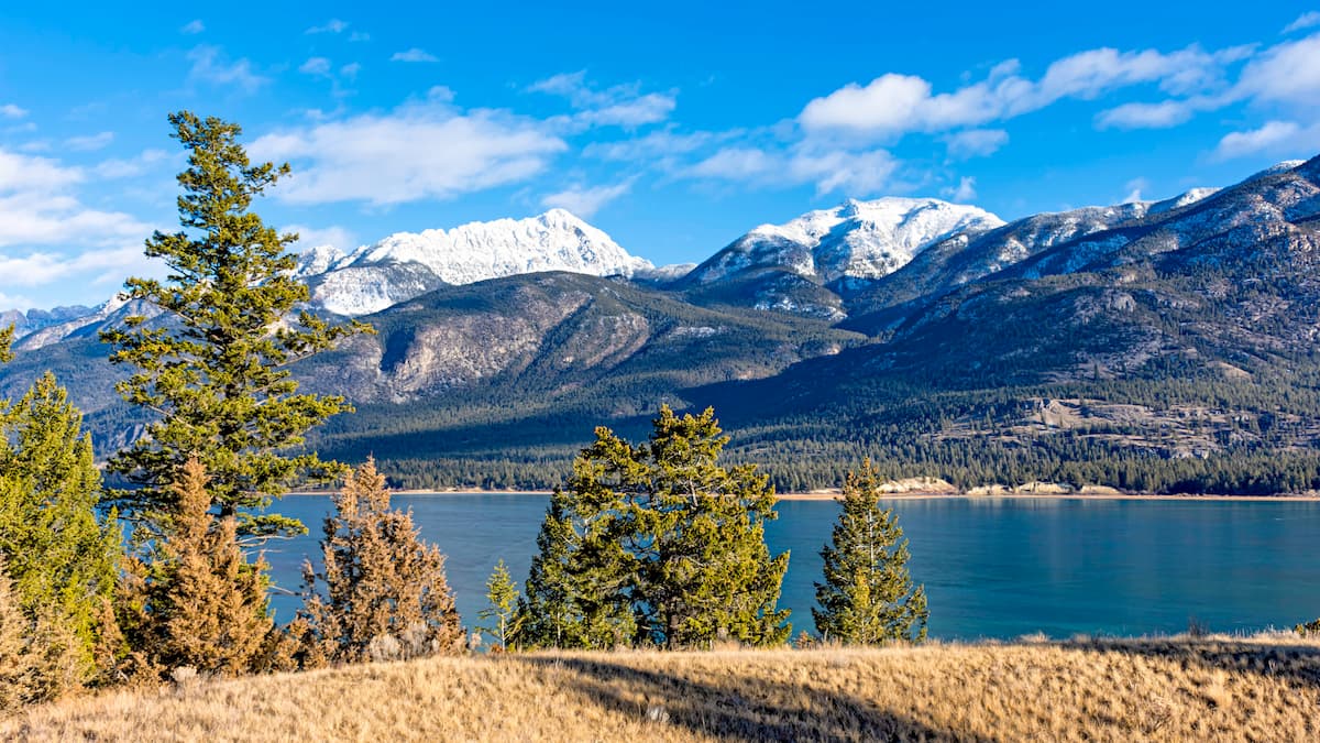
The community of Elkford is the closest community to the southern portion of Height of the Rockies, while Canal Flats and Radium Hot Springs are the closest communities when accessing the park from the west. Because the park is adjacent to several other parks, visitors must decide which access point they will be using to reach the park, and subsequently the Royal Group.
Visitors access the park via trail routes in Banff, Elk Lakes, and Peter Lougheed parks or travel logging roads from Canal Flats, Sparwood, or Kootenay National Park.


