Scan the QR code and open PeakVisor on your phone
The Siffleur Wilderness Area encompasses roughly 105,000-acres of high mountain peaks, hanging glaciers, alpine lakes, and picturesque meadows in the Canadian Rockies.
Though its boundaries are relatively indistinct, most of Siffleur’s western and southern border are defined by one of Canada’s most iconic parks, Banff National Park. The area’s northern boundary is defined by an imagined line roughly 3 miles from the North Saskatchewan River and its eastern boundary is formed by a rugged set of summits that separate the wilderness from the Whiterabbit Creek drainage. An indistinct portion of the park’s southern boundary also lies near the confluence of Dolomite Creek and the Siffleur River.
The Siffleur Wilderness Area was protected by the Forest Reserves Act on January 10, 1961. One of only three wilderness areas in Alberta, Siffleur was established to “preserve and protect natural heritage while providing opportunities for non-consumptive, nature-based outdoor recreation.” In other words, the Siffleur Wilderness Area cannot be developed and travel within the wilderness is limited to foot access only.
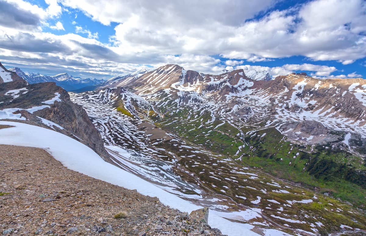
Elevations in the Siffleur Wilderness Area range from roughly 8,000 feet along the Siffleur River to over 11,000 feet. The area encompasses a small part of the Rocky Mountain Front Ranges but remains primarily within the eastern Main Ranges within the Rocky Mountain thrust belt.
Unsurprisingly, several peaks in the area rise to over 10,000 feet, including Mount Augusta, Mount Perren, and Simpson Peak. The tallest in the wilderness, Recondite Peak, reaches just over 11,000 feet in elevation. Recondite, which lies along the eastern boundary of Banff National Park, is the lowest 11,000-foot summit in the Southern Rockies. Though routes to the summit exist, reaching the top of Recondite Peak is notoriously difficult and the mountain, whose name translates to ‘obscured,’ often lives up to its name.
Like neighboring wildland areas and parks, the Siffleur Wilderness Area supports a healthy variety of flora and fauna. Sub-alpine forests of Engelmann spruce, fir and lodgepole pine dominate valleys, while elevations above tree line support hardy grasses, wildflowers, and sedges. Siffleur also serves as an important habitat to a variety of wildlife, including woodland caribou, mouse, elk, white-tailed deer, grizzly bear, timber wolf, and wolverine.
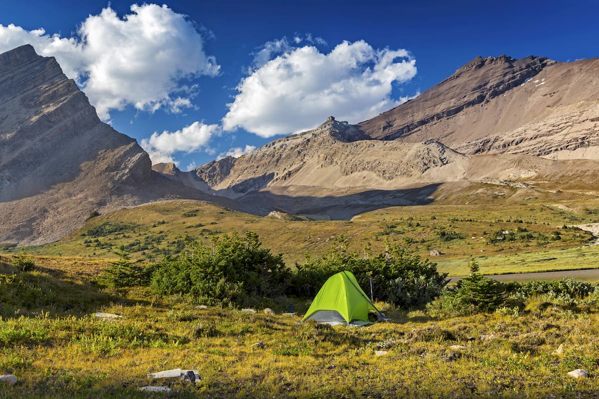
There are no maintained or designated hiking trails in the Siffleur Wilderness Area. Access to the wilderness is difficult, often requiring several days of hiking and a thorough knowledge of wilderness travel.
The most popular access point to the area is via Highway 11 at the Siffleur Falls trailhead. The area’s protection under the Ecological Reserves and Natural Areas Act prohibits vehicle access, helicopter access, hunting, fishing, or trapping. Horses and mountain bikes are also prohibited.
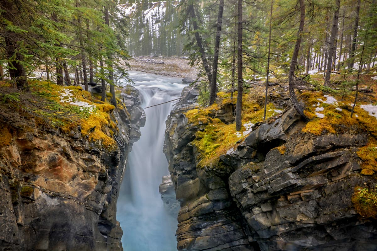
The Siffleur Falls trail is arguably the best-known and most traveled path in the area. This well-worn path crosses a suspension bridge and follows an old gravel road to the Siffleur Falls viewpoint and its impressive gorge below.
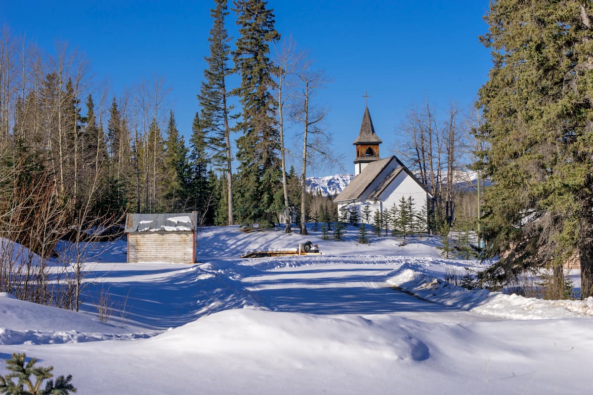
Nordegg is a small town tucked amongst some of the most impressive peaks and natural wonders of western Canada. Located in the middle of the Icefields Parkway and the Cowboy Trail, Nordegg is a picturesque community catered to outdoor enthusiasts. Nordegg is central to a variety of hiking trails and attractions, including Abraham Lake, Preacher’s Point, Hoodoo Creek, and Siffleur Falls. Nordegg is home to a handful of hotels, lodges, cabins, and campgrounds, as well as a few food trucks, restaurants, and cafes.