Get PeakVisor App
Sign In
Search by GPS coordinates
- Latitude
- ° ' ''
- Longitude
- ° ' ''
- Units of Length

Yes
Cancel
❤ Wishlist ×
Choose
Delete
Unlike other Alberta parks, Don Getty Wildland Provincial Park is not a single wilderness area, but a number of parcels of protected land along the front ranges of the Rocky Mountains.
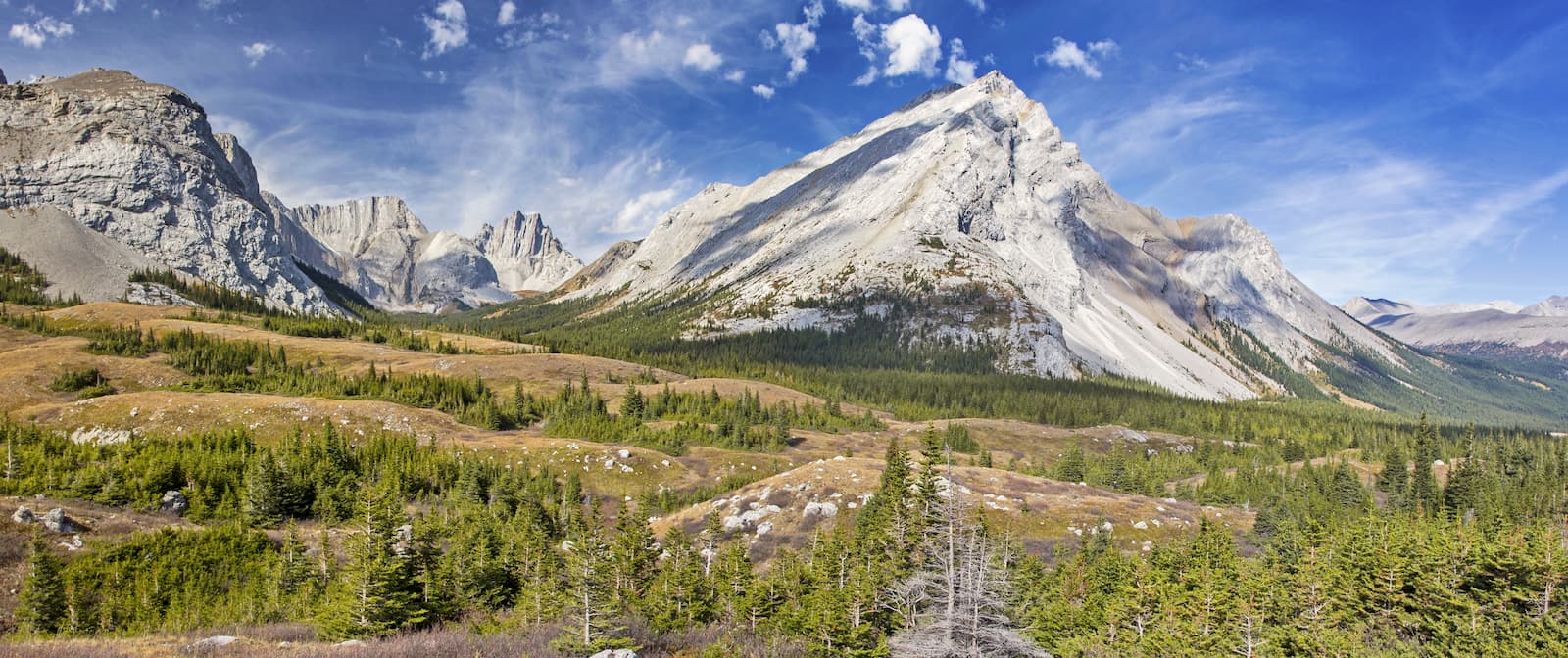
The park’s designation as a wildland provincial park means that activities that are not generally allowed in provincial parks, like hunting and random backcountry camping, are permitted in the park. Wildland parks are also generally more remote and rugged. In fact, little to no facilities are available in the park blocks.
Created in 2001, Don Getty adds environmental integrity to adjacent protected areas, including Banff National Park, Elbow-Sheep Wildland Provincial Park and Ghost River Wilderness Area. The park’s interconnectedness to adjacent areas also adds to the long-term survival of local wildlife, including grizzly bears, wolves, cougars, bighorn sheep, elk, and mountain goats.
The park was named to honor Alberta’s 11th premier, Don Getty, who is often credited for establishing the Special Places program. The park spans 242 square miles and is considered a significant part of Alberta’s parks and protected areas.
Don Getty is home to a number of periglacial features including felsenmeer, stone stripes, and stone polygons. These periglacial features are well preserved, with little disturbance from industrial activity and recreational use. One of the park’s most iconic landmarks, Forget-me-not Ridge, offers sweeping views of Bluerock Mountain, Mount Rose, and Threepoint Mountain.
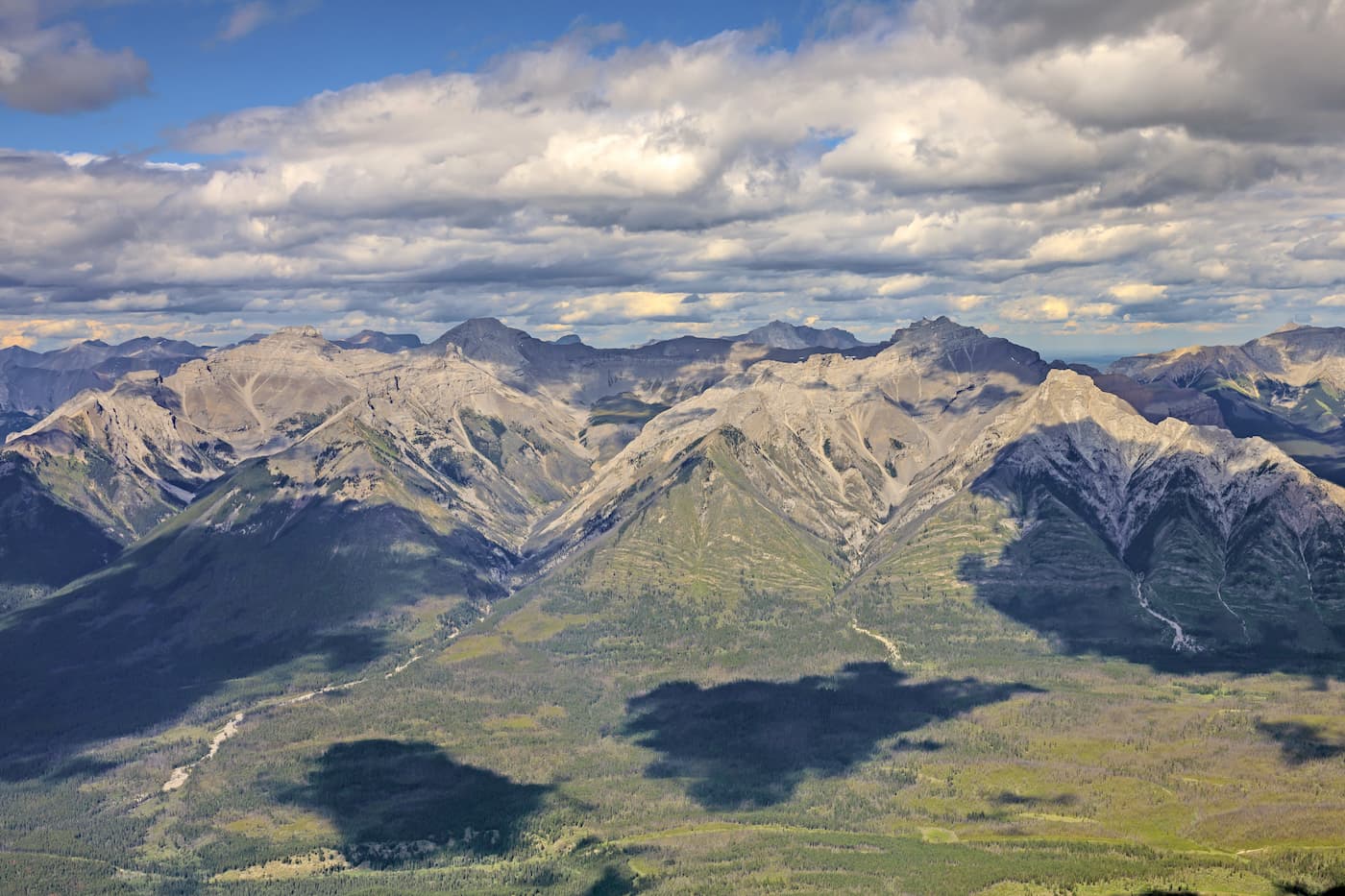
Don Getty houses 56 named mountains, including 9,000-foot summits like Mount Cornwell, Outlaw Peak, Mount Glasgow, Castle Rock, and Mount McPhail. Devil’s Head, another Don Getty icon, happens to be one of the most recognizable mountains viewed from Calgary. Despite its infamy, however, Devil’s Head is guarded by a set of cliffs, limiting access from several directions. The only road to this iconic peak is poorly maintained, making it difficult to reach.
Summit Mount Glasgow and the Glasgow Group, arguably the most recognizable summits from nearby Calgary. This 14-mile trek starts along a dirt road. To make the hike a little more manageable, most visitors will bike the first 2.5 miles to South Glasgow Creek. After following the creek for several miles, the ascent begins. Reaching the summit of Mount Glasgow is best described as a scramble. However, once at the summit, hikers are rewarded with sweeping views of several surrounding Rocky Mountain summits. Most visitors will turn this trek into a 2-4 day adventure and traverse Banded Peak, Outlaw Peak, and Mount Cornwell.
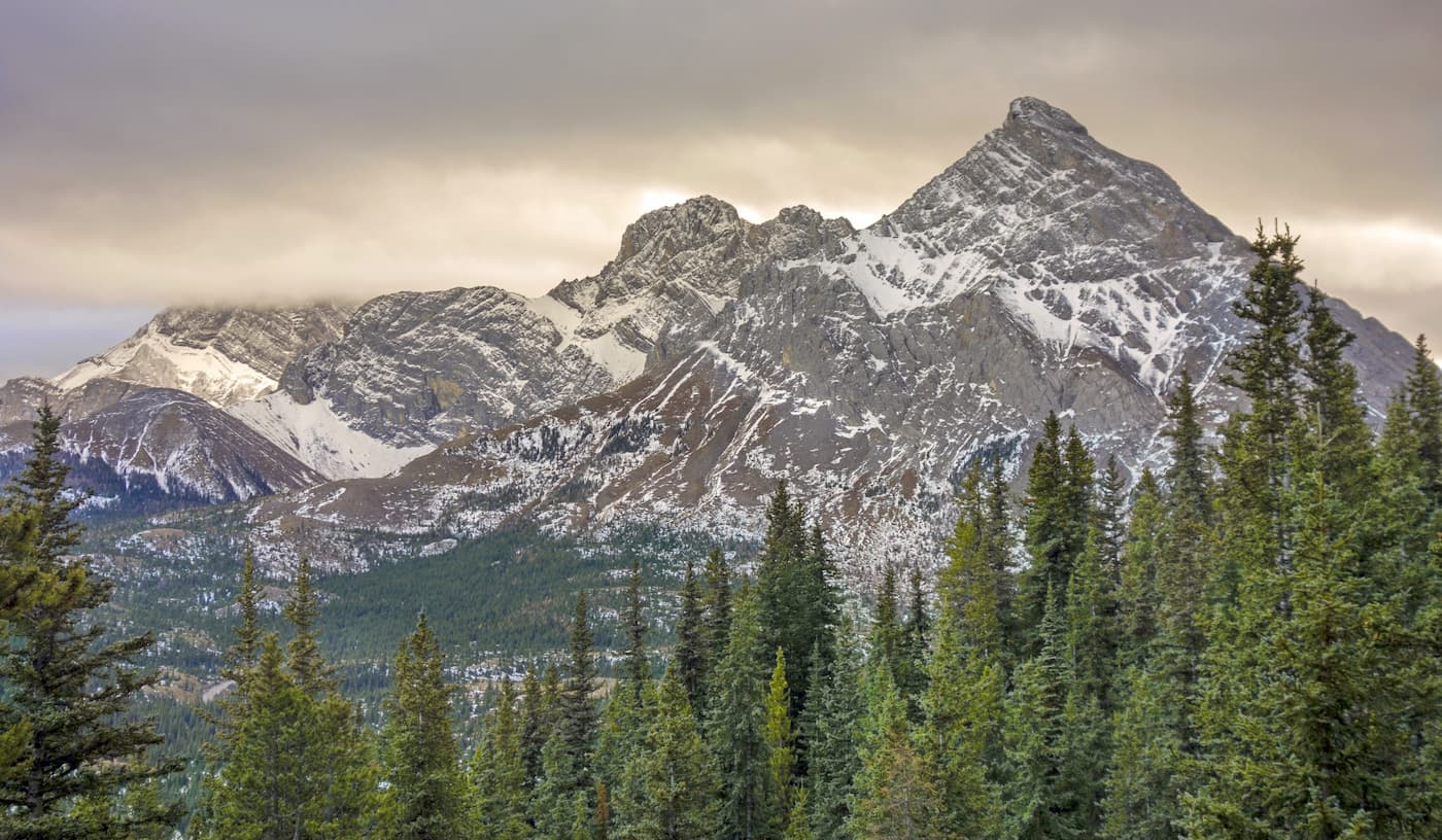
This iconic climb begins with a steep start through the woods. As you climb, incredible views of Moose Mountain, Prairie Mountain, and Powderface Ridge come into view. After passing the Holey Rock Tree, continue on the path toward a cairn just below the ridge. After reaching the cairn, you can trek left to a beautiful view of the Elbow River or continue on Forget-me-not ridge to Forget-me-not Mountain.
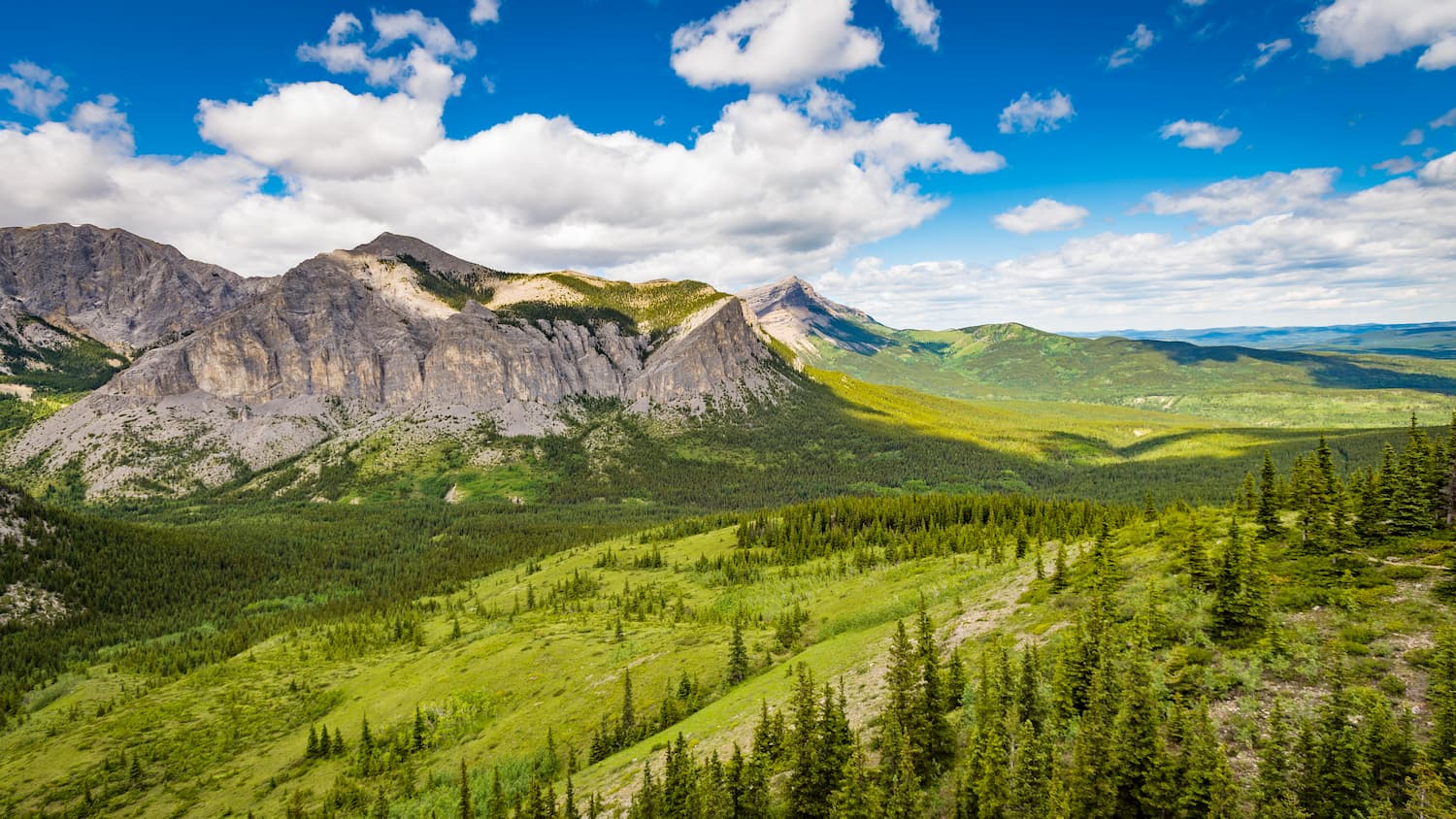
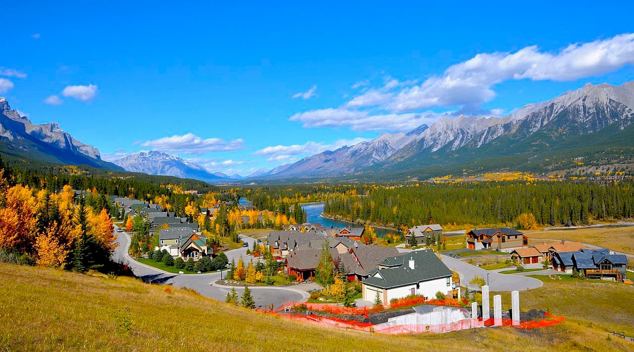
Nicknamed the “Queen Town of the Rockies,” Canmore is often described as a picturesque mountain town enveloped by the majestic Canadian Rockies. Canmore offers unparalleled panoramic mountain views in every direction and boasts a number of popular lodges like the Falcon Crest Lodge, Stoneridge Mountain Resort, and Silvertip Resort. Visitors can not only access Bow Valley, Spray Valley, and Kananaskis Valley from Canmore, but can explore nearby summits like Ha Ling Peak, Read’s Tower, Sarrail Ridge, Mount Yamnuska, and Mount Lady Macdonald.
Explore Don Getty Wildland Provincial Park with the PeakVisor 3D Map and identify its summits.


