
Scan the QR code and open PeakVisor on your phone
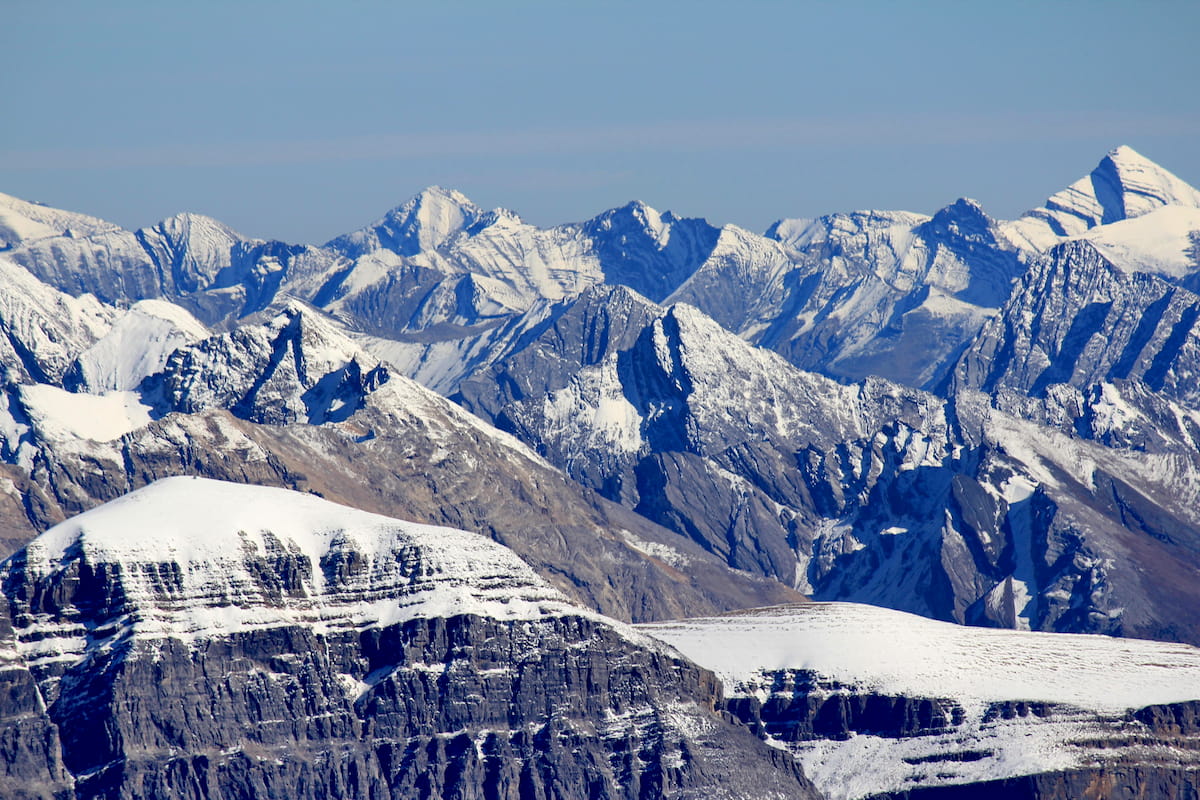
Ghost River Wilderness Area has 11 named peaks. The highest is Mount Aylmer at 3,162 m. Other notable peaks include Revenant Mountain, Apparition Mountain and Mount Costigan.
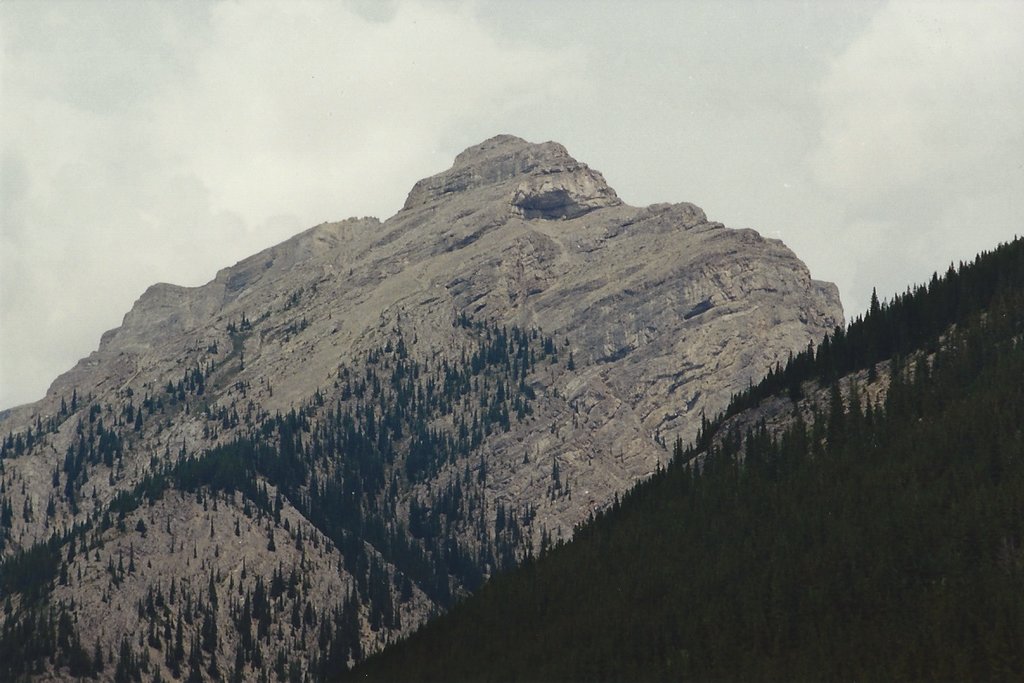
The Ghost River Wilderness Area is located in the Canadian Rockies of Alberta. This protected area encompasses the headwaters of the Ghost River spanning 153.2 square kilometers. There are 11 named mountains in the Ghost River Wilderness Area. The highest and the most prominent mountain is Mount Aylmer at 3,097 meters. The wilderness area is defined by rugged peaks, valleys that have been carved out by glaciers, alpine and subalpine meadows, along with mountainous lakes throughout.
The wilderness area was established back in 1967 and is one of only three wilderness areas within Alberta, Canada The two other wilderness areas in the province are White Goat Wilderness Area and Siffleur Wilderness Area. Being a wilderness area means that no travel is permitting within the region, except by foot. The Ghost River Wilderness Area borders Banff National Park as it stretches across the Rocky Mountains.
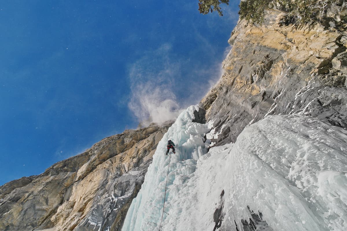
Due to the area being highly protected, there are many species of butterflies that are able to flourish. The area is also home to Bighorn sheep, moose, bear, deer, timberwolves, and even wild horses. The region is also well-known for its world-class ice climbing. Due to the protected nature of the region, there are minimal defined trails.
Mount Aylmer: As the highest peak in the entire wilderness, the hike to the summit of Mount Aylmer is no easy feat. The trail for this peak starts on nearby Lake Minnewanka, though it is not part of the wilderness area. The trail totals 27 kilometers with just over 6,000 feet of elevation gain. The trail follows along the north shore of Lake Minnewanka before climbing steeply up the side of Mount Aylmer. The hike offers unparalleled views of the lake below and the rugged mountains of Alberta.

Banff is an iconic resort town located in Alberta, Canada and just 10 minutes from the Lake Minnewanka Trailhead. The city is located within the Banff National Park which sits in the Rocky Mountains. The crystal blue waters of Lake Louise have been named as one of the most beautiful places in Canada, as well as the world. During the summer months the town is full of tourists looking for their next outdoor activity. In the winter months skiing, snow shoeing, and cross-country skiing are available due to the proximity to the mountains. Banff National Park was the first park to be established within the country. The city sits just two hours northeast to the east side of Purcell Wilderness Conservancy Provincial Park.

Located an 1:30 east of Banff, lies the city of Calgary, Alberta. This major citty is located at the confluence of the Elbow and Bow Rivers in the foothills of the Canadian Rockies. The city has a population of 1.4 million making it the fourth largest city in the entire country of Canada. Due to its proximity to the mountains, Calgary is a popular destination for outdoor sports. In the summer months the city is full of hiking, running, and mountain biking trails. In the winter months the area is full of skiing, cross-country skiing, hockey, and snowshoeing.


The highest peak in Ghost River Wilderness Area is Mount Aylmer, at 3,162 m.
Notable peaks in Ghost River Wilderness Area include Mount Aylmer, Revenant Mountain, Apparition Mountain, Mount Costigan and Spectral Peak.


