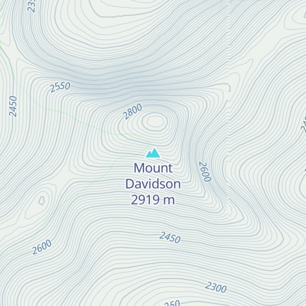
Mount Davidson is a 2,919-metre (9,577-foot) mountain summit located to the north of the head of Waiparous Creek, Municipal District of Bighorn No. 8, southwestern Alberta, Canada. Visible from Calgary, it is situated 18 km (11 mi) north of Lake Minnewanka. The first ascent of the mountain was made in October 1988 by Frank Campbell and Karl Nagy.
Mount Davidson is named after James Wheeler Davidson (1872 – 1933).
By elevation Mount Davidson is
# 12 out of 73 in Don Getty Wildland Provincial Park # 8 out of 11 in Ghost River Wilderness Area # 10 out of 75 in Bighorn
By prominence Mount Davidson is
# 25 out of 73 in Don Getty Wildland Provincial Park # 6 out of 11 in Ghost River Wilderness Area # 17 out of 75 in Bighorn
We use GPS information embedded into the photo when it is available.
3D mountains overlay
Adjust mountain panorama to perfectly match your photos because recorded by camera photo position might be imprecise.
Move tool
Rotate tool
Zoom
More customization
Choose which peak labels should make into the final photo and what photo title should be.
Next
Photo Location
Satellitte
Flat map
Relief map
Latitude
Longitude
Altitude
OR
Latitude
°'''
Longitude
°'''
Apply
Register Peak
Peak Name
Latitude
Longitude
Altitude
Register
Teleport
PeakVisor
This 3D model of Sagarmatha National Park in Nepal was made using the PeakVisor app topographic data. The mobile app features higher precision models worldwide, more topographic details, and works offline. Download PeakVisor maps today.
Download OBJ model
PeakVisor
The download should start shortly. If you find it useful please consider supporting the PeakVisor app.
PeakVisor for iOS and Android
Be a superhero of outdoor navigation with state-of-the-art 3D maps and mountain identification in the palm of your hand!