Get PeakVisor App
Sign In
Search by GPS coordinates
- Latitude
- ° ' ''
- Longitude
- ° ' ''
- Units of Length

Yes
Cancel
❤ Wishlist ×
Choose
Delete
Located on the Continental Divide between Banff and Yoho National Park, the Waputik Mountains cover a vast area of 413 square miles. There are 105 named mountains in the area. The highest and the most prominent mountain is Howse Peak.
Waputik Mountains
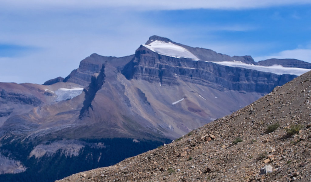
The Waputik Mountains form the backdrop to some of the most iconic panoramas in Banff and Yoho National Parks. In fact, several Waputik high-altitude peaks like White Pyramid and Mount Thompson are visible from the infamous Icefields Parkway, a scenic stretch of road that traverses the Canadian Rockies. The largest natural lake in Banff National Park, Hector Lake, is also framed by Pulpit Peak and Crowfoot Mountain, both iconic Waputik peaks.
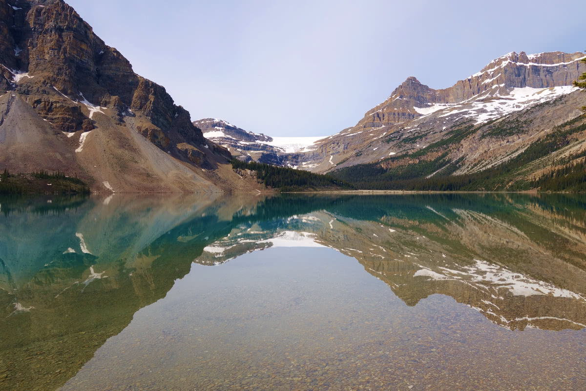
Mount Thompson
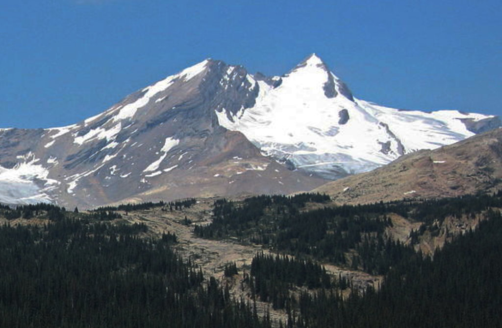
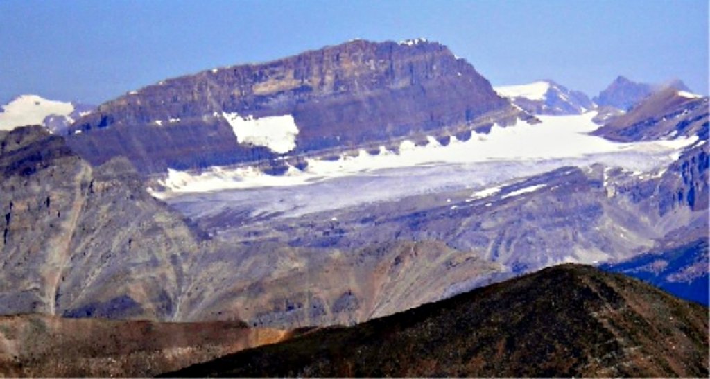
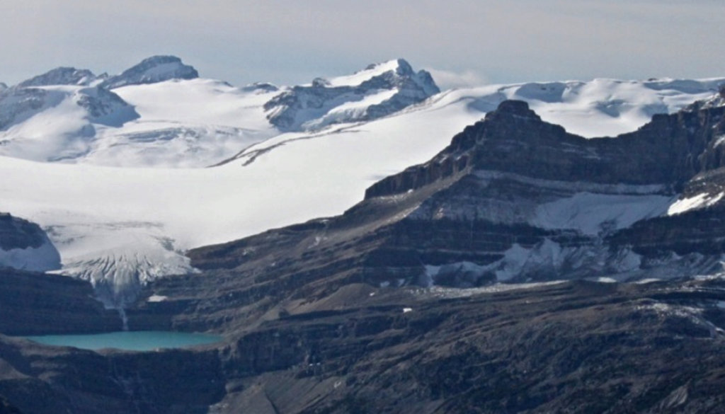
Some of the highest peaks in the range are heavily glaciated and sit within the Waputik and Wapta Icefields including the stunning Ayesha Peak, Mount Baker, Mount Balfour, Mount Olive, and Mount Gordon. The Waputik and Wapta Icefields straddle both Alberta and British Columbia and are shared by Banff and Yoho National Parks. These remarkable, icy land masses are easily accessible to mountaineers and visitors during summer and winter months, making them a major attraction within the Waputik Mountains.
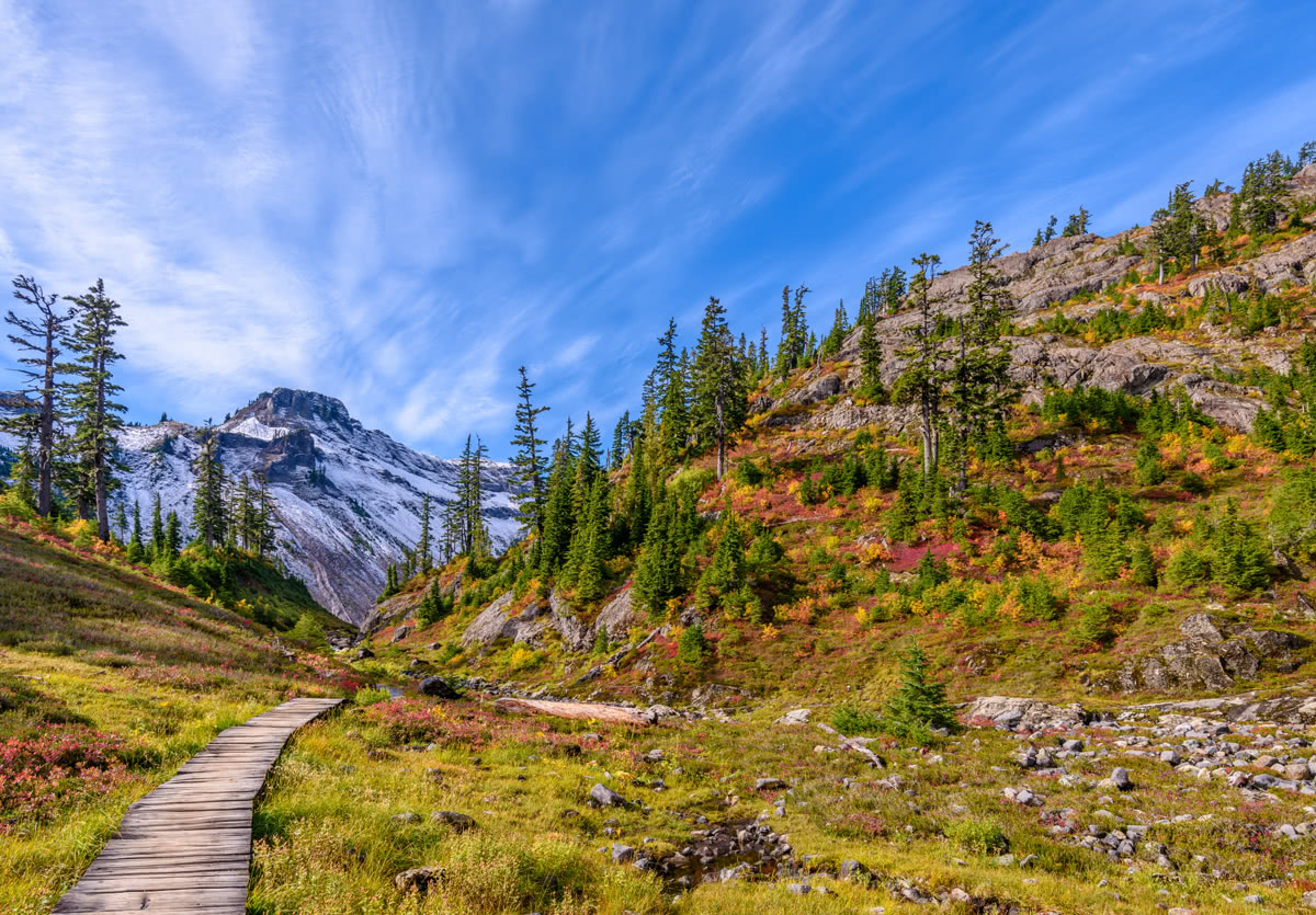
Mount Baker
The Waputik Mountains are divided into two subranges, the President and Waputik ranges. The President subrange sits in the northwestern portion of Yoho National Park and contains lofty 9,000-10,000 foot summits including The President, The Vice President, and Mount Carnarvon. The Waputik subrange, on the other hand, lies west of upper Bow Valley and east of Bath Creek in Alberta, Canada.
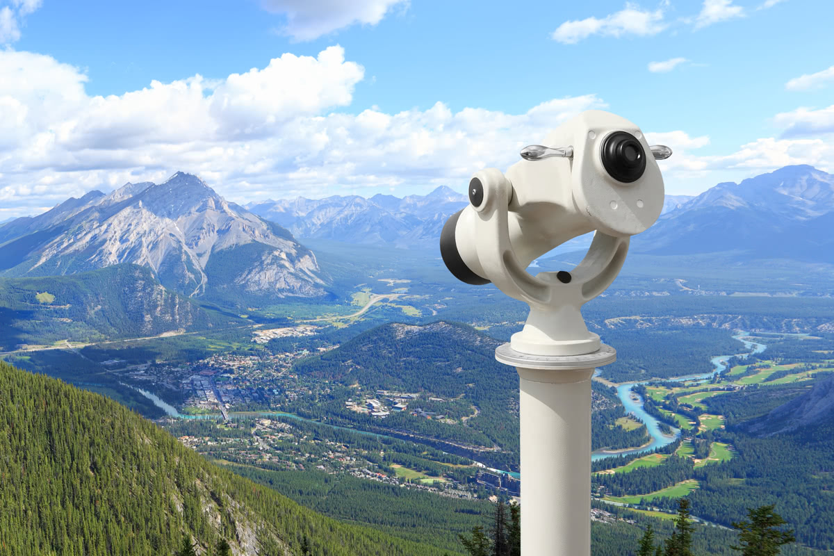
Bow Valley
There are no major cities located within the Waputik mountains, however, their proximity to two popular National Parks makes these mountains easy to access and explore. Not to mention, there are plenty of lodging and amenities available to visitors nearby.
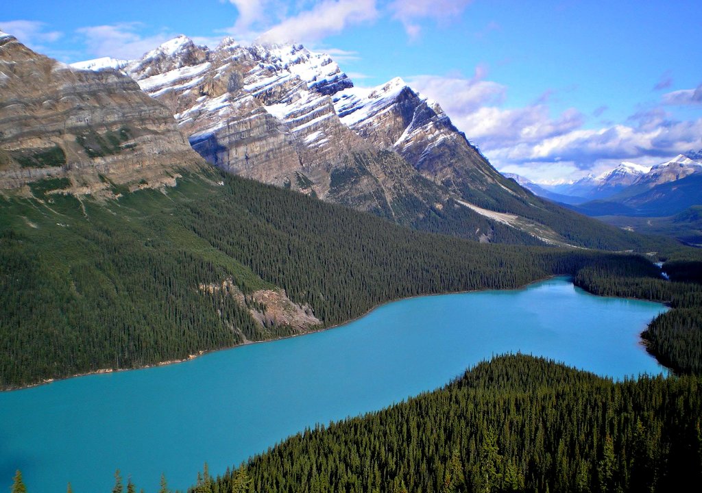
Easily accessible via the Icefields Parkway, the hike to Peyto Lake Overlook offers one of the most incredible overlooks in the region, and this family-friendly hike should be on every Rocky Mountain trip itinerary. From the parking lot at Bow Summit, a short paved trail leads to this iconic vantage point. However, you can also opt to follow a dirt pathway through the forest to reach sweeping vistas of the lake and surrounding wilderness. Peyto Lake sits in a valley of the Waputik Range, between Caldron Peak, Peyto Peak, and Mount Jimmy Simpson. The Peyto Glacier, which is part of the vast Wapta Icefield, straddles the Continental Divide and extends into the northern reaches of Yoho National Park. If you’re looking for a more difficult trek, the Bow Summit Lookout, the highest point on the Icefields Parkway, extends beyond the Peyto Lake Viewpoint on the upper self-guided nature trail and follows an old fire road.
A relatively easy day hike, the 5.7-mile trek to Emerald Basin begins at Emerald Lake and follows the shoreline before climbing to an avalanche-scoured glacial bowl surrounded by towering peaks and waterfalls. This moderate trail offers sweeping views of Mount Burgess, Emerald Lake, and Michael Peak while traversing old growth forest and varied terrain. Emerald Glacier may also be be visible in a notch carved between the President and the Vice President. Once you’ve reached the basin, explore other short trails to various waterfalls between Mount Marpole and the President.
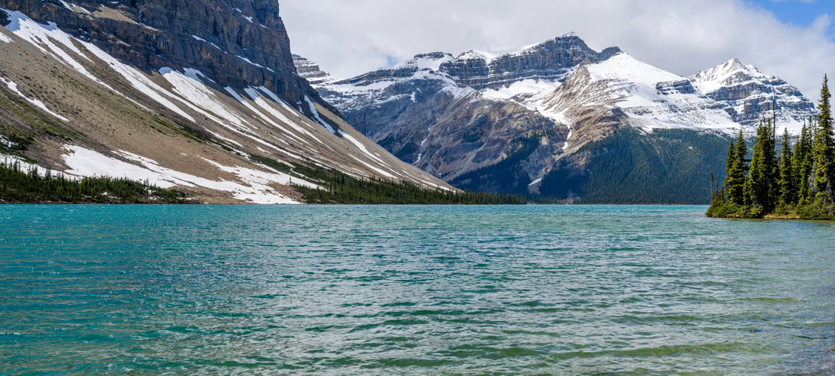
Emerald Basin
Most tourists will pass the Hector Lake trailhead along Icefields Parkway in route to other major attractions, but this idyllic and serene trek offers a one-of-a-kind adventure to one of the largest natural lakes in Banff National Park. Surrounded by the Waputik Mountains, Hector Lake requires a little more effort than your average dayhike. In fact, you’ll need to ford the Bow River to reach your destination. However, after traversing just 3 miles of relatively flat terrain, you’ll be greeted by the relatively secluded, pristine Hector Lake. There is a campsite at the end of the trail, as well as several canoes hidden in the trees that are available for use.
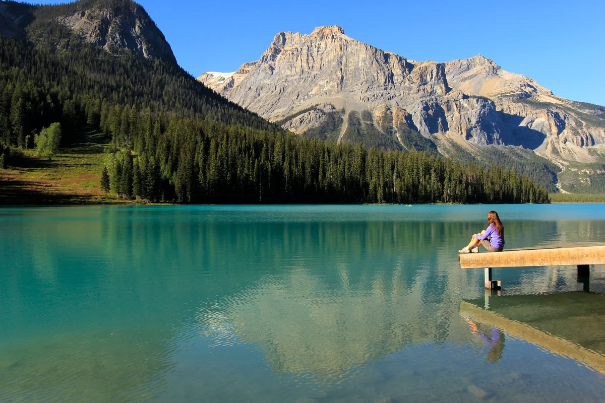
Hector lake
The Emerald Lake Lodge, which sits within Yoho National Park, is surrounded by the illustrious Rocky Mountains and provides easy access year round to a variety of outdoor recreation opportunities including hiking, biking, canoeing, and backpacking. In fact, aside from being in one of the most popular park in Canada, the resort sits just 14 miles to neighboring attractions and trails, like the Lake Louise Ski Area and Lake Louise. The lodge offers rooms with wood burning fireplaces, an outdoor hot tub, several restaurants, and a lounge.
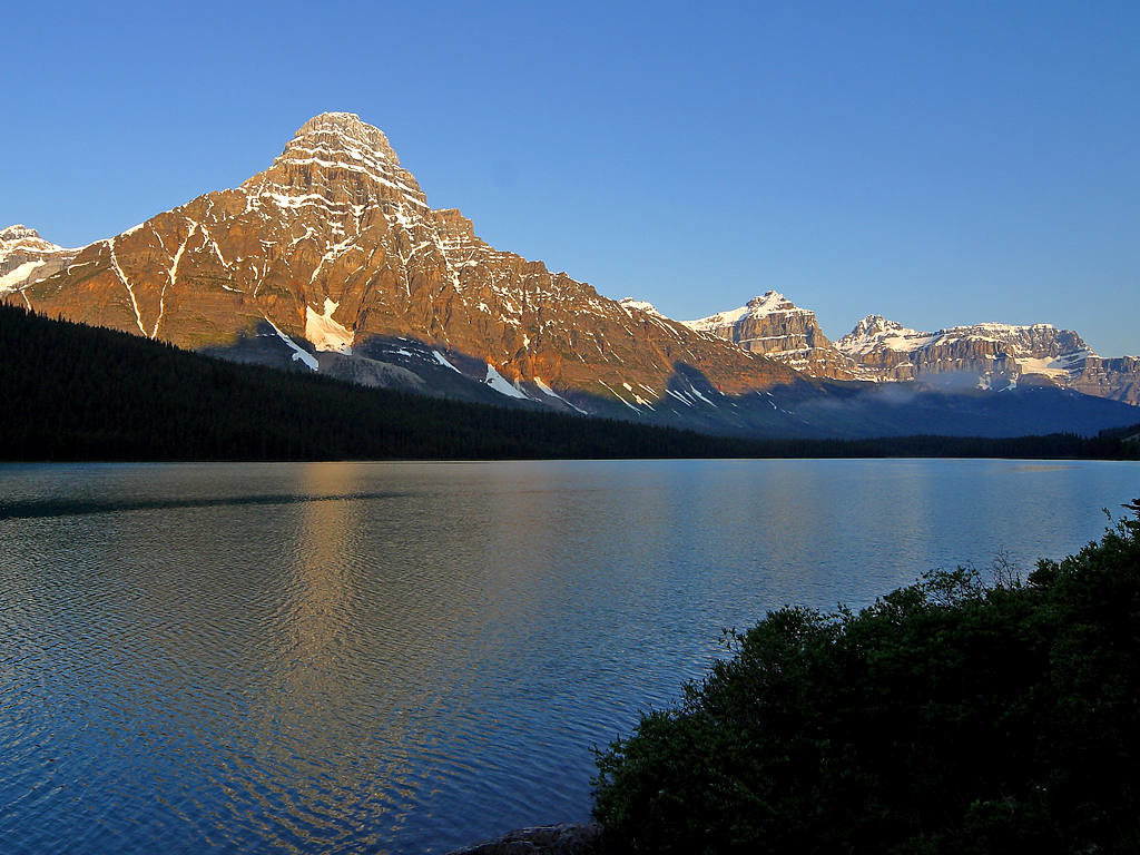
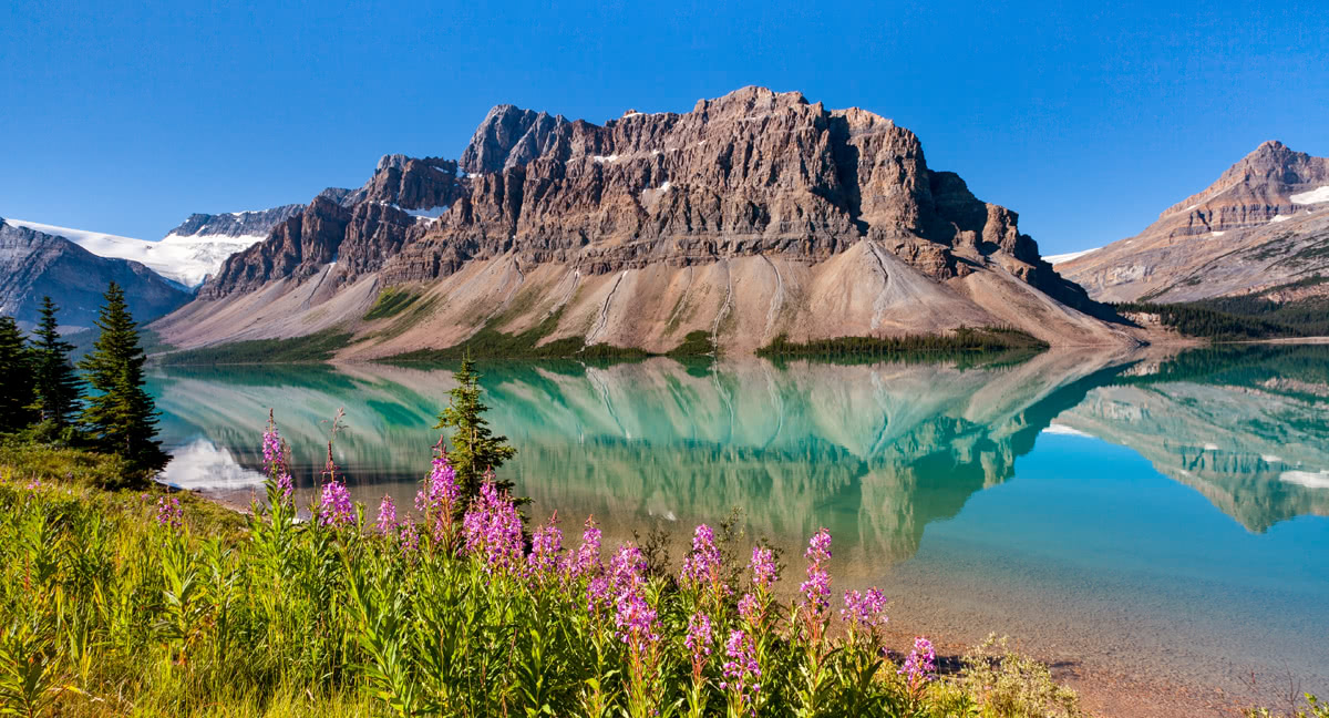
Sitting on the shores of the aquamarine Bow Lake, Num-Ti-Jah Lodge offers an intimate, 16 room, getaway beneath the Canadian Rockies. Just .10 mile from Icefields Parkway, 4 miles from the popular Peyto Lake, and 2 miles from Crowfoot Glacier, Num-Ti-Jah Lodge is the ideal basecamp for an adventure in Yoho or Banff National Parks. The serene Crawfoot Mountain sits on the shore of Bow Lake, and makes for the perfect backdrop for a morning walk or a peaceful midday kayak.
Banff and Lake Louise, two of the most bustling and popular cities in this area, are surrounded by towering alpine beaks and offer one-of-a-kind access to colossal glaciers, like the majestic Victoria Glacier and sparkling alpine lakes, like Emerald Lake and Lake Louise. Not to mention, Banff and Lake Louise house every kind of outdoor activity you can imagine, from world-class skiing, hiking trails ranging in difficulty, biking, fishing, mountain biking, snowmobiling, cross-country skiing, and more.
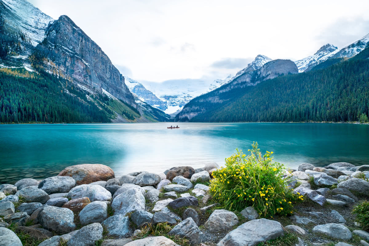
Lake Louise
From the Buffalo Mountain Lodge in Banff, it takes just 15 minutes to reach Mt. Norquay and 30 minutes to reach Sunshine Village, two premiere ski resorts. Nearby, in Lake Louise, the infamous Fairmont Chateau Lake Louise, a luxury mountain resort, is globally recognized and was built for the outdoor enthusiast and alpinist over 100 years ago. If you aren’t interested in staying in a major resort, there are plenty of other accommodations and amenities in Banff and Lake Louise that can be catered to your adventure.
Explore Waputik Mountains with the PeakVisor 3D Map and identify its summits.
%26_Mt_Chephren_(3307m)_(7897964306).jpg)
