Scan the QR code and open PeakVisor on your phone
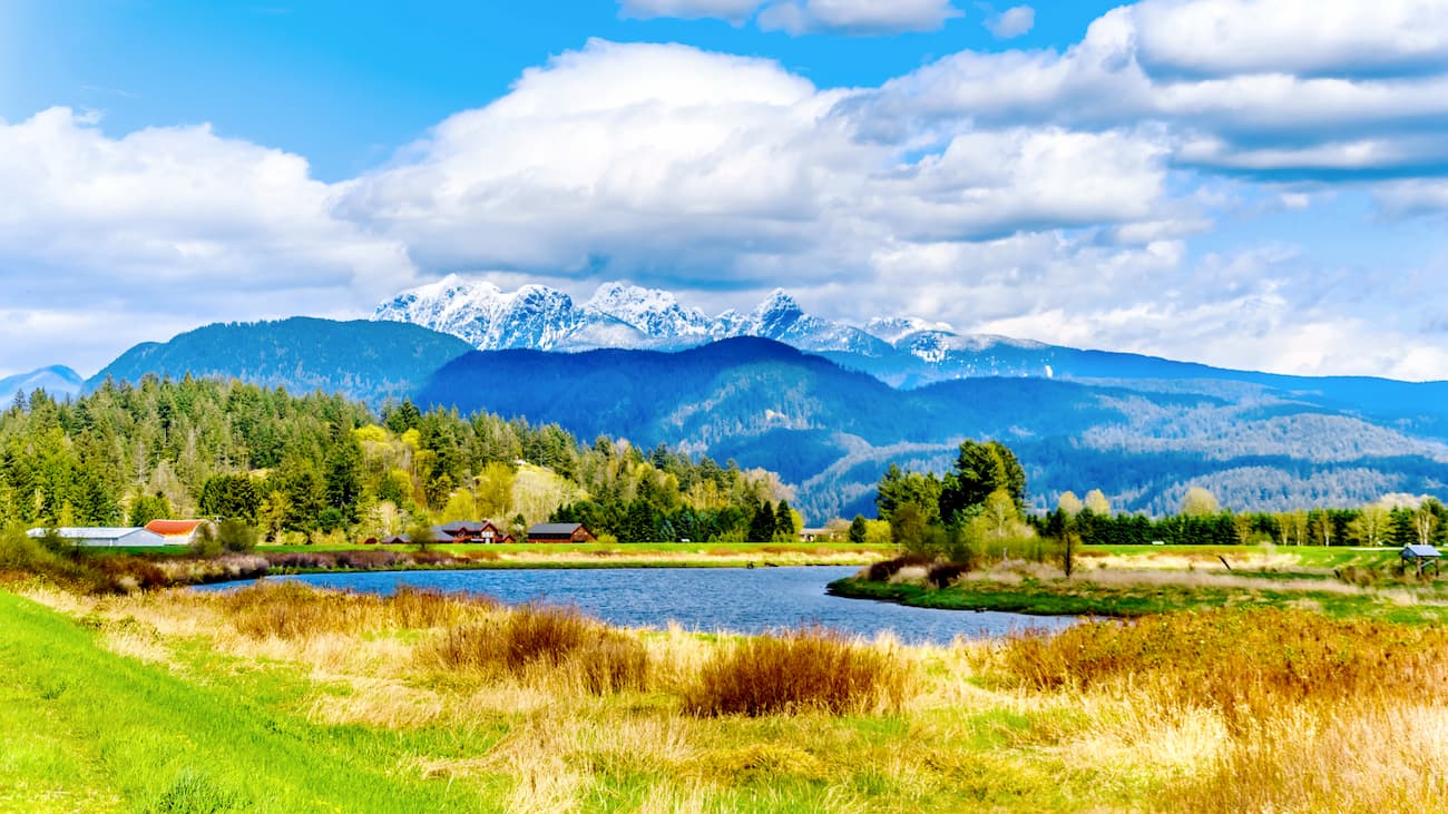
Pinecone Burke Provincial Park, a 94,000-acre primitive wilderness, is located on the edge of the densely populated Lower Mainland area of British Columbia.
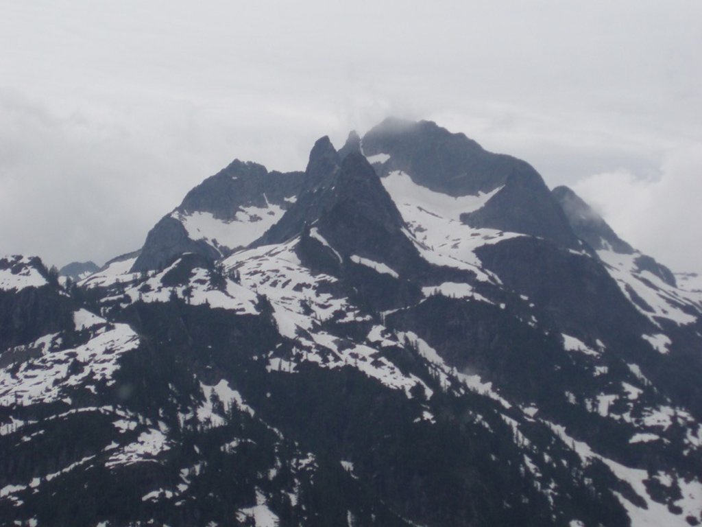
The park, which extends from the southwest corner of Garibaldi Provincial Park, contains 14 named peaks, including Mount Burke, a summit on the ridge system leading to Coquitlam Mountain. The tallest peak in the park, however, is Mount Gillespie, which sits at an impressive 6,631 feet, and the most prominent summit, Middle Finger, reaches just over 6,200 feet.
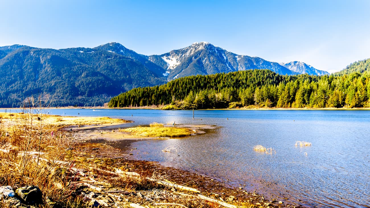
Middle Finger sits within a notorious set of summits known as the Five Fingers Group. This group of summits, which includes Middle Finger, The Thumb, The Forefinger, and Little Finger, sits on the divide between Pitt Lake, one of the largest freshwater tidal lakes in North America, and Coquitlam Lake, one of the three main water sources for Metro Vancouver. This area of the park is extremely rugged and inaccessible.
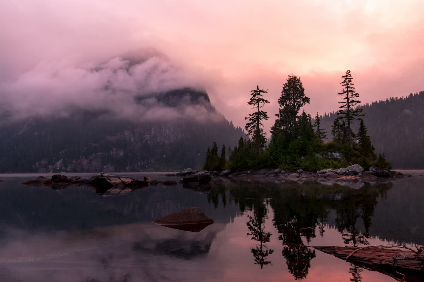
Not only does Pinecone Burke contain one of the largest freshwater tidal lakes in North America, it also houses one of the largest hanging lakes in the North Shore mountains – Widgeon Slough. Several trails lead to the hanging lake and visitors can also rent canoes to paddle up Grant Narrow to the Widgeon Slough and Widgeon Falls.
Although Pinecone Burke is a largely undeveloped park, its proximity to heavily populated areas make it easily accessible. Several maintained hiking trails link alpine lakes to the park’s incredible alpine backcountry and beyond. Along these footpaths, hikers can also find first-come-first-serve backcountry campsites. Visitors can also paddle to campsites and trails in the Widgeon Valley or explore the marine shoreline of Pitt Lake.
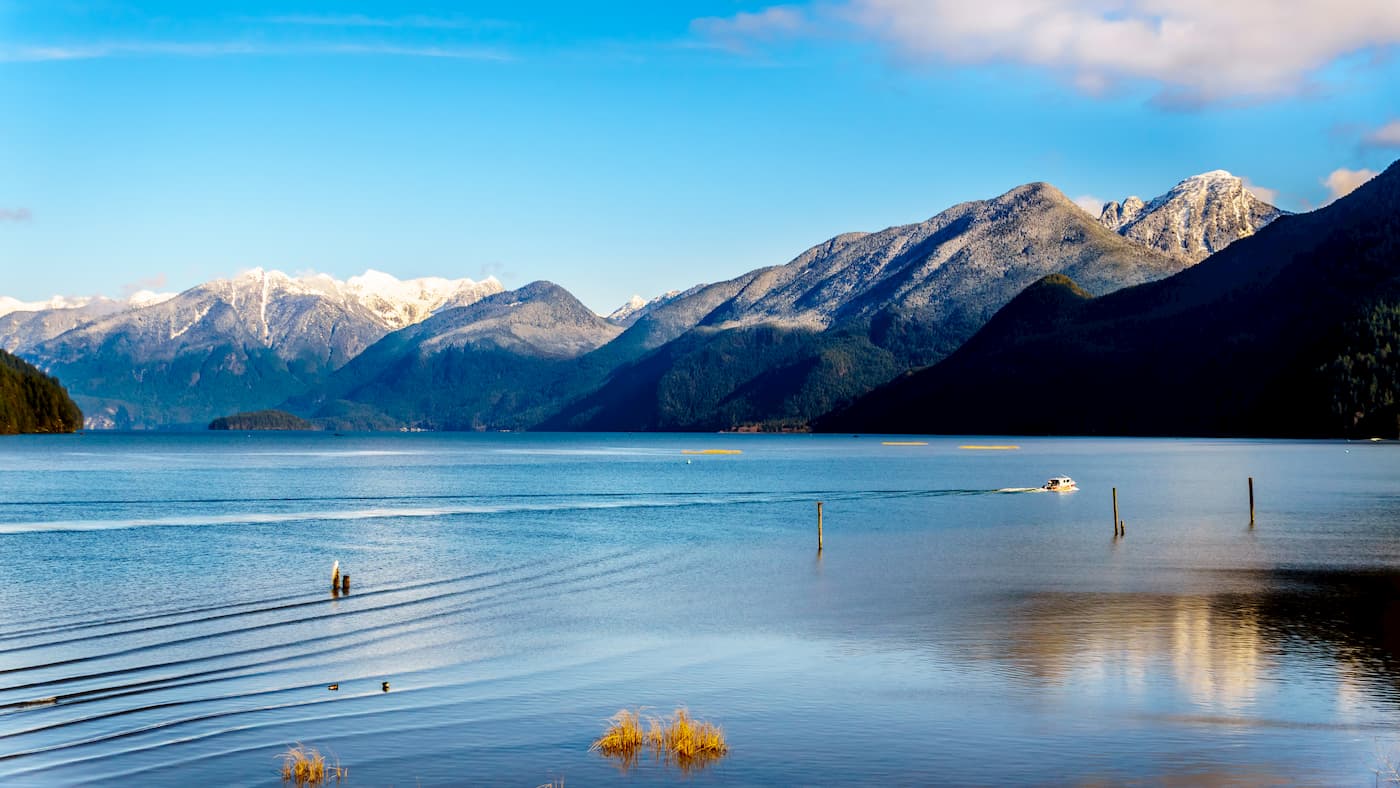
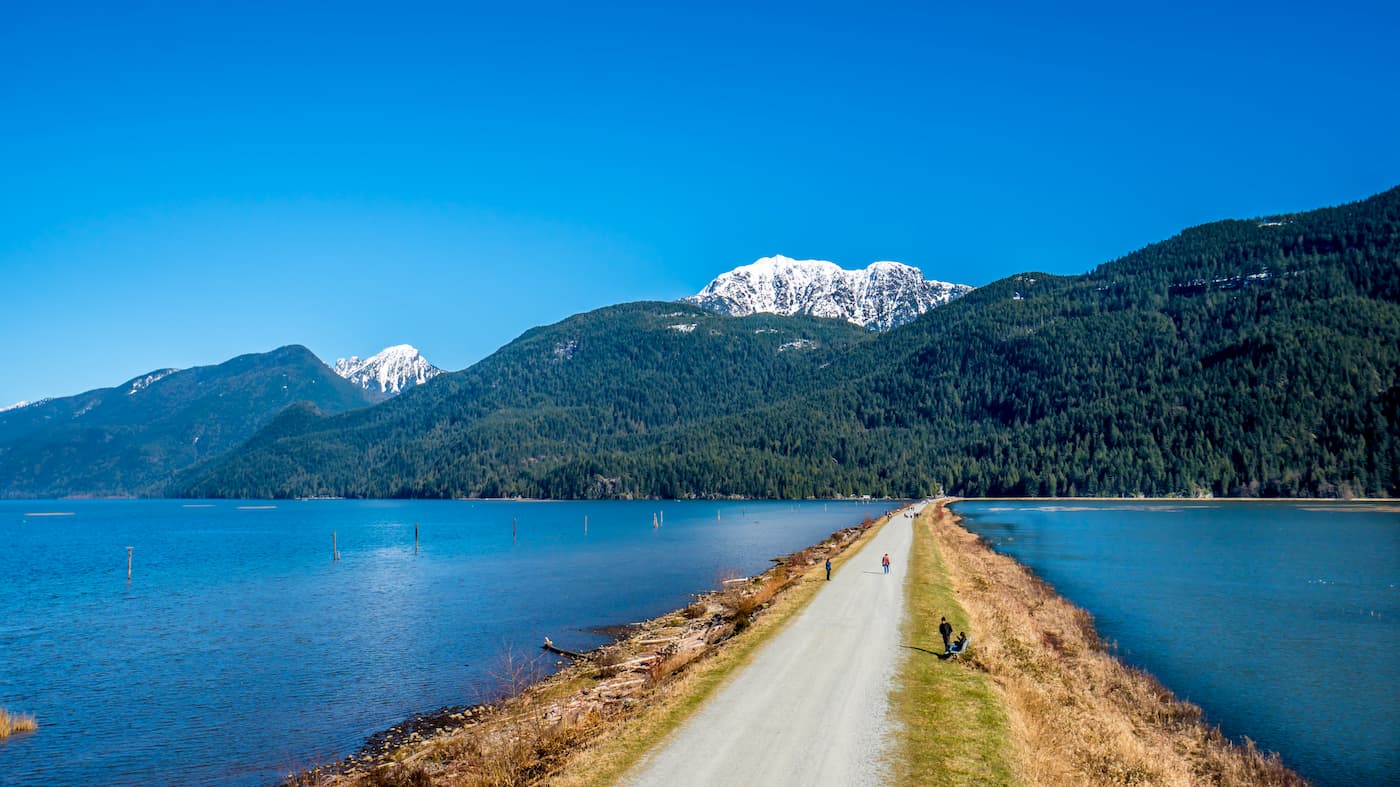
The 10+ mile trek to Widgeon Lake is one of the iconic footpaths in Pinecone Burke. Widgeon Lake is a high mountain lake in the Coquitlam Range that is typically accessed via canoe from the Grant Narrows boat launch in Pitt Meadows. However, the lake can also be accessed via Burke Mountain or along Quarry Road. The trail isn’t for the faint of heart and its remoteness makes it unreachable to novice hikers. Those that make the trip, however, can take advantage of campsites on the lake’s pristine shoreline.
Like Widgeon Lake, the 7.7-mile hike to Munro and Dennett Lake isn’t easy. These two gorgeous lakes are separated by a mile and almost 400 feet in elevation, making it worthwhile to visit both. A pleasant day hike, the trek to Munro and Dennett Lake offers striking views of the Pitt River lowlands.
Coquitlam sits at nature’s doorstep in the Lower Mainland of British Columbia, just outside of Pinecone Burke Provincial Park and the Coquitlam Ranges. Coquitlam is known as an up-and-coming mountain biking destination and offers a mix of rugged and maintained mountain biking trails. Most visitors will venture into Pinecone Burke to explore the park’s trails or spend the day paddling on one of the park's pristine lakes. The city itself, however, also contains over 50 miles of trails and routes. Although Coquitlam also contains a wide variety of accommodations, dining options, and amenities.
Maple Ridge is a city located in the northeastern section of Greater Vancouver between the Fraser River and the Golden Ears. Maple Ridge is home to many parks and trails, historical sites, and hosts a variety of festivals and events. The city’s natural beauty and friendly locals make it an excellent destination for anyone looking to explore British Columbia.
https://www.shutterstock.com/image-photo/british-columbia-canada-golden-ears-bridge-1030621840