
Scan the QR code and open PeakVisor on your phone
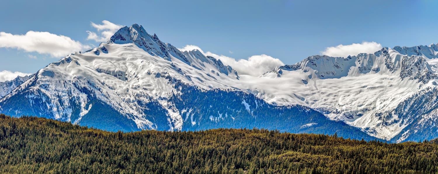
The Tantalus Range include 24 named peaks. The highest is Mount Tantalus at 2,603 m. Other notable peaks include Mount Dione, Serratus Mountain and Pelion Mountain.
The Tantalus Range is located in the province of British Columbia in Canada. There are 23 named mountains in Tantalus Range. The highest and the most prominent mountain is Mount Tantalus standing at 8,540 feet. The Tantalus Range is a subrange of the Coast Mountains located in southwestern British Columbia. The range sits on the west side of the city of Squamish. The range can be viewed throughout the “Sea to Sky Highway”. The route starts in Vancouver and travels north to Squamish and Whistler.
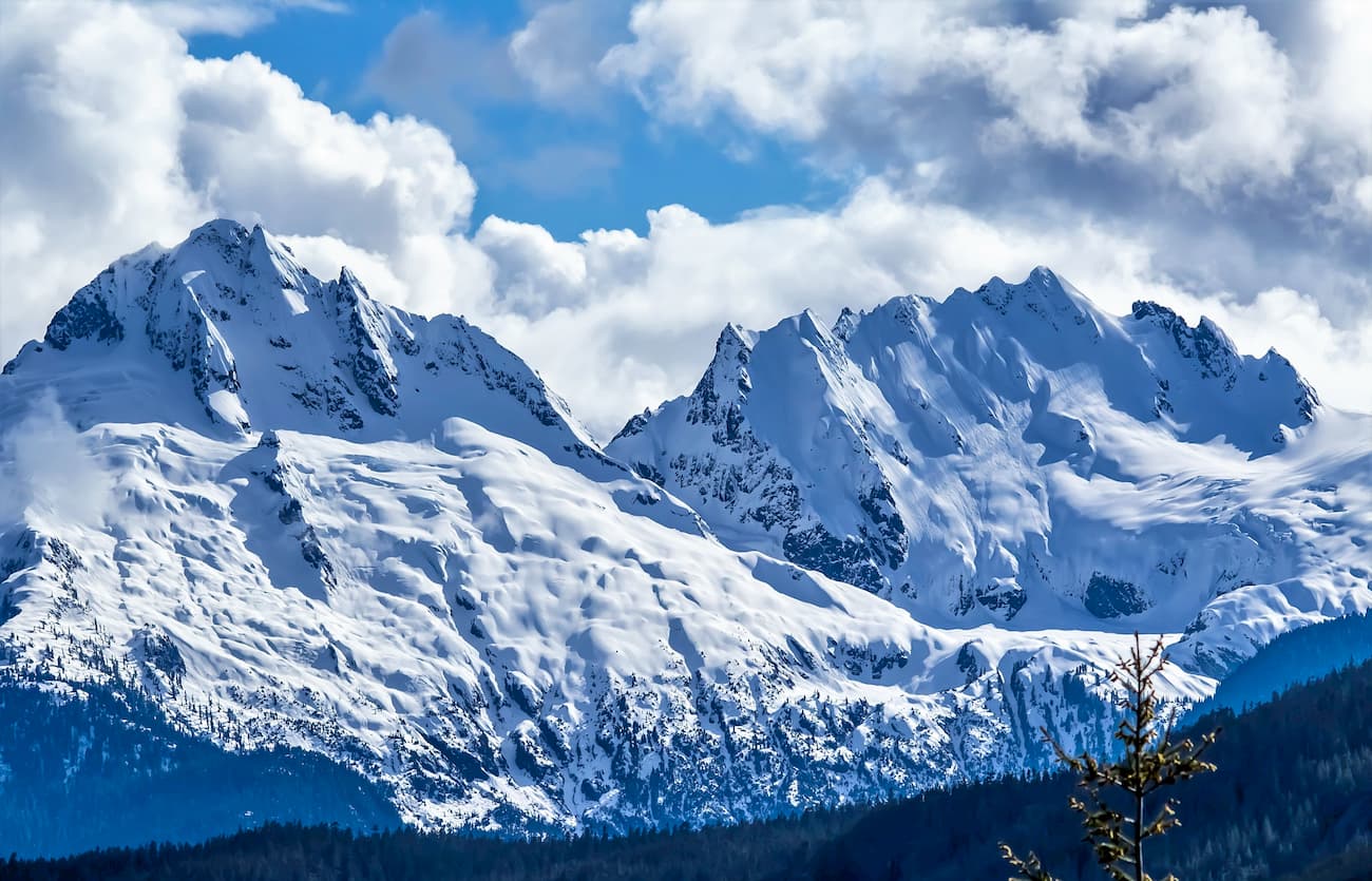
The Tantalus Range spans 22 miles north to south and is less than 9 miles wide at the widest place. The name “Tantalus” comes from Greek Mythology. Tantalus was doomed in Hades and was set to be half submerged in cold water and just out of reach of fruit. The name was given to the range by a local mountain climber who was “tantalized” by the range’s sharp spires in contrast to the flowing Squamish River. The range is popular for hiking, rock climbing, mountaineering, and photography for the drastic and scenic views. There are two areas within the range. The first is Lake Lovely Water which is where the Tantalus Hut is located, and the upper area where the Haberl Hut is. Climbing in the range is mostly classified as scrambling with some mountaineering required.
The Tantalus Traverse stretches 26.3-miles across the range along with 12,000 feet of elevation gain. The route starts at the south end of the range at the Sigurd Creek trailhead and finishes at the Lake Lovelywater trail head cable car. The traverse can be done in multiple days and should only be completed by experts. Those who do complete the traverse will be rewarded with some of the most remote and rugged views of the entire range.
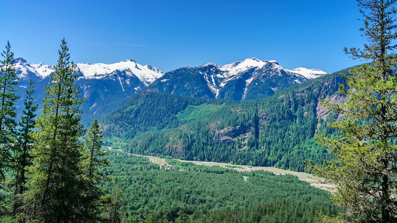
Located northwest of the town of Squamish, High Falls Creek Path is a 5.1-mile hike with 1,696 feet of elevation gain. The trail climbs up through a forest before offering views of the Tantalus peaks, Squamish River, and valley below. This trail offers views of the Tantalus Range with less crowds than the Sea to Sky Highway.
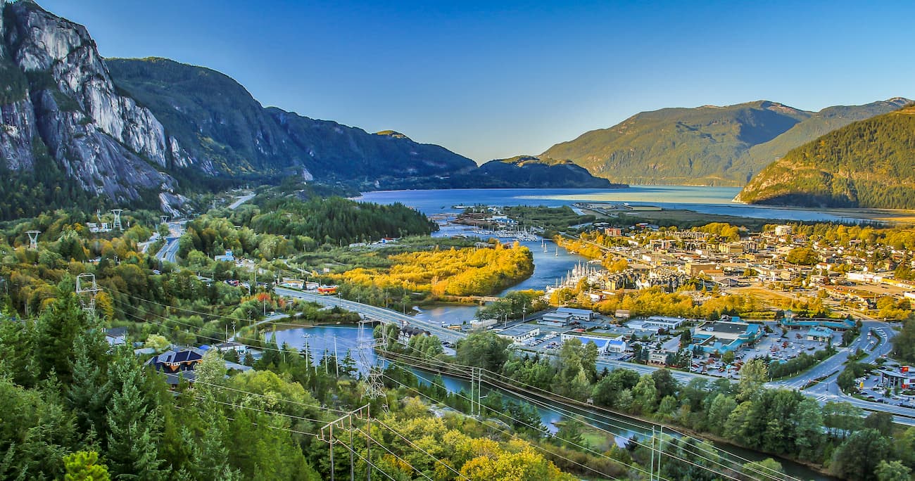
Located an hour north of Vancouver, Squamish sits on the Howe Sound surrounded by mountains. The town is known for the Sea to Sky Gondola that provides views of the mountains, Howe Sound, and Shannon Falls. Squamish is often seen as an outdoor paradise with countless mountain biking, hiking, trail running, skiing, and watersports all nearby. Due to increased cost of living in both Vancouver and Whistler, the population of Squamish continues to grow.
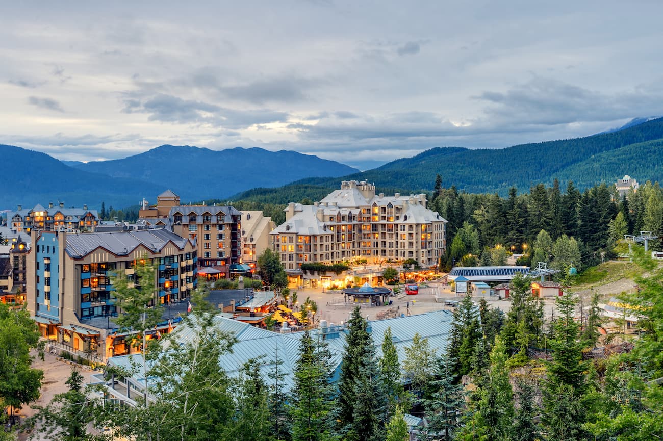
Located 90 minutes north of Vancouver, Whistler is a resort town located in the mountains. It is home to Whistler Blackcomb which is one of the largest ski resorts in North America. The town only has 13,000 residents but is busy year-round with tourists. Despite being known for the ski resort, the town is almost equally as popular in the summer months for hiking and mountain biking. Take the gondola to the top of the mountain and hike from there, or explore the numerous nearby glacier lakes.
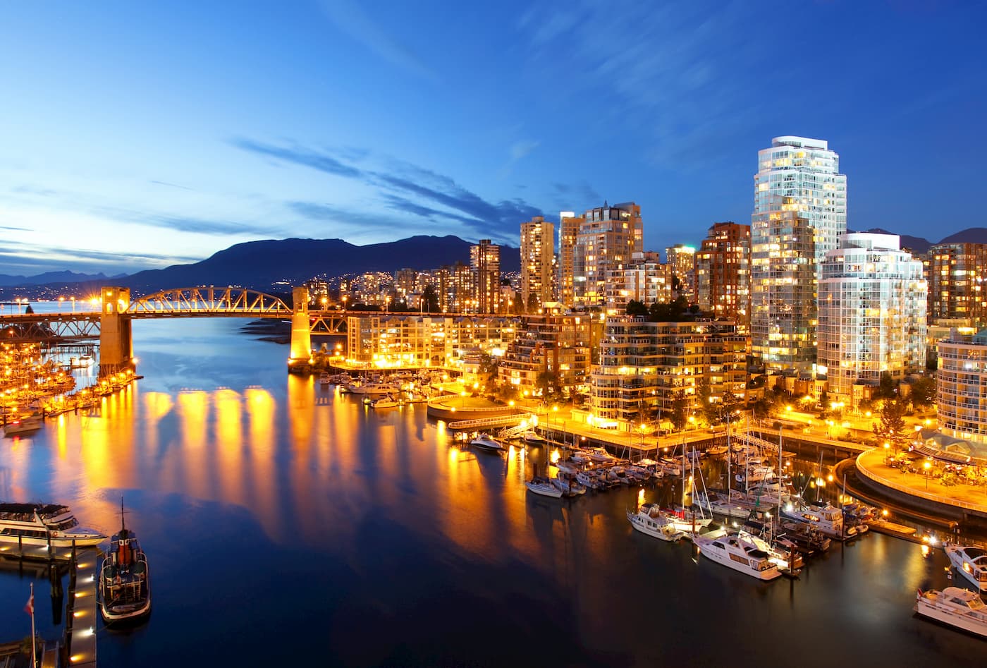
Vancouver is the third largest city in Canada and the largest city in the entire province. While the city population is 603,000, the Vancouver metro area has a population of over 2,500,000. The city is one of the most ethnically and linguistically diverse cities in Canada. The mild climate of the city, along with its abundant access to lakes, trails, and mountains, makes it a popular destination for outdoor recreation. The city is close to three ski resorts, and an abundance of hiking, running, and mountain biking trails.


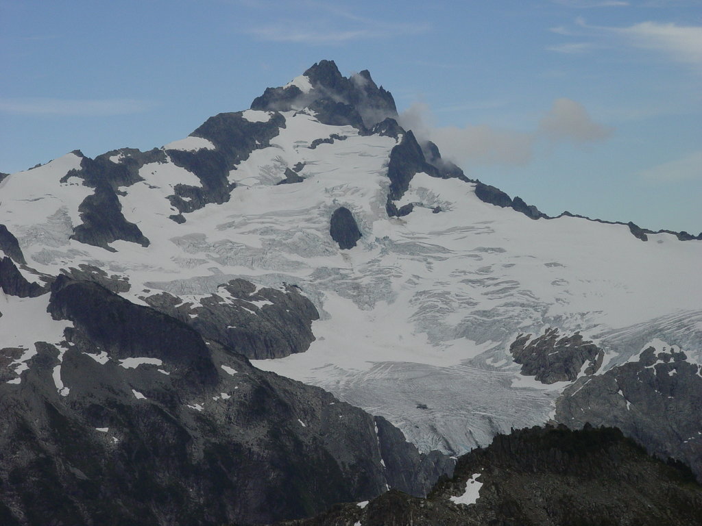
The highest peak in the Tantalus Range is Mount Tantalus, at 2,603 m.
The Tantalus Range have 24 named peaks.


