
Scan the QR code and open PeakVisor on your phone
Strathcona Regional District is home to 425 named mountains. The highest is Mount Raleigh at 3,129 m.
The Strathcona Regional District is located in British Columbia and encompasses parts of Vancouver Island and mainland southern British Columbia. The region was established in 2008 and spans 7,057 square miles. The population of the region is approximately 45,000. The regional district encompasses 10 different First Nation communities. The district used to be called the Comox-Strathcona District but was divided into two distinct regions back in 2008. Now the Strathcona Regional District is home to the western portion of the once larger district.
There are 366 named mountains in Strathcona Regional District. Mount Raleigh is the highest point at 10,266 feet. The most prominent mountain is Golden Hinde with 7,201 feet of prominence. The district encompasses vast amounts of remote land, inlets, rivers, and forests. The southern border is marked by the Oyster River up to the Gold River, Sayward, Tahsis, Zeballos, and Kyuquot-Nootka in the north and the west. To the east lies Quadra Island, Cortes Island, and the Discovery Islands.
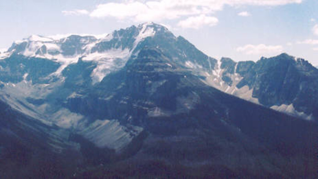
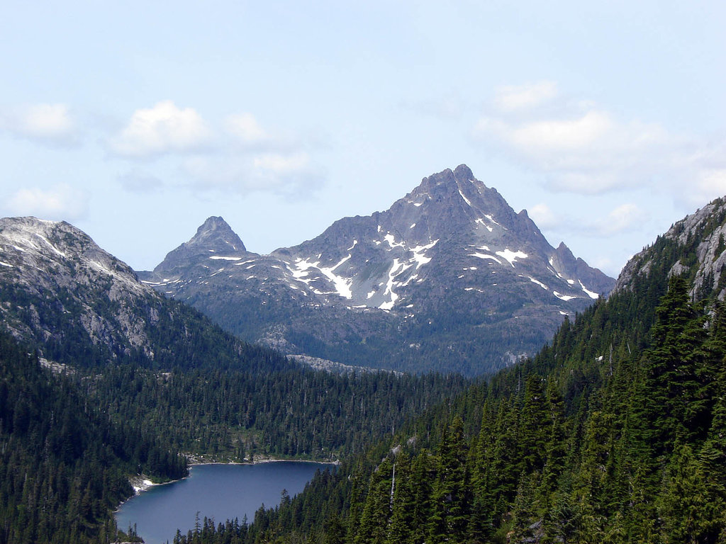
The mountains in the district spans across Vancouver Island and onto mainland British Columbia. The tallest peak, Mount Raleigh, is located on the mainland and is part of the Coast Mountains in southern British Columbia. Mount Raleigh sits at the confluence of the Southgate and Bishop Rivers as it towers over the Bute Inlet. The Coast Mountains, that make up the eastern mountains of the Strathcona Regional District, are home to the largest temperate-latitude icecaps in the entire world. These glaciers fuel a large number of prominent rivers throughout the district and other parts of southern British Columbia. The most prominent mountain in the district is Golden Hide which sits near the center of Vancouver Island. The peak is known for being the tallest on the entire island as it sits at the head of the Wolf river.

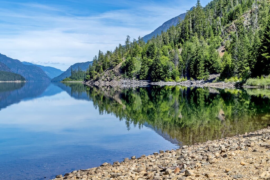
The geography of the Strathcona Regional District varies immensely. Lower elevations of the region sit at sea level and encompass the many islands that lie just east of Vancouver Island. The district then spans southwest towards the summit of Golden Hinde and then extends northeast towards Mount Raleigh. Black bears and cougars are abundant in the Vancouver Island sections of the district while mountain goats flourish along the mainland portions.
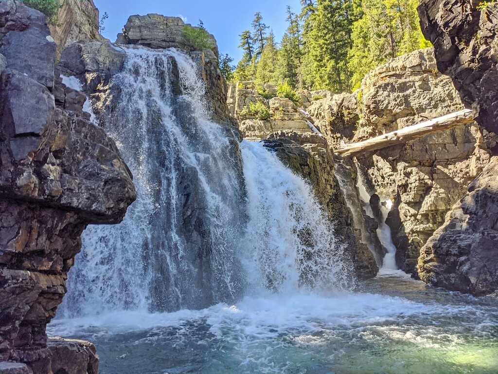
Strathcona Provincial Park: The most popular park in the Strathcona Regional District is the Strathcona Provincial Park. The park is the oldest in all of British Columbia, having been established in 1911. This park sits on Vancouver Island and protects 950 square miles in the central region of the island. Besides being home to Golden Hide, the park is also known for its waterfalls, lakes, and glaciers. Some of the most iconic hikes in the park include exploring Della Falls (one of the tallest falls in all of British Columbia), Lake Helen Mackenzie, Landslide Lake, Mount Becher, and Mount Albert. The park has an extensive network of trails that can be used for hiking, trail running, backpacking, snowshoeing, cross country skiing, and even downhill skiing. The various lakes are also popular for swimming, canoeing, and kayaking.
Broughton Archipelago Provincial Park: This unique park protects numerous small islands that lie between Vancouver Island and mainland British Columbia, known as the Broughton Archipelago. Much of the park is undeveloped and remote, with some of the islands having never been explored. There are no designated hiking trails in the park though some of the larger islands offer primitive trails for canoers and kayakers to explore.
Desolation Sound Marine Provincial Park: The Desolation Sound Marine Provincial Park encompasses an island off of Vancouver Island that spans 32 square miles. The park is only accessible by boat and is known for its remote forest, rugged peaks, and pristine waterfalls. Some well-known trails include Unwin Lake, Black Lake, and exploring near Melanie Cove.

The largest city in all of the Strathcona Regional District is Campbell River. The city sits along the eastern coast of Vancouver Island at the south end of Discovery Passage. With a population of around 35,000, Campbell River is often referred to as the “Salmon Capital of the World”. The small community has an economy largely based on aquaculture, food, clean energy, forestry, tourism, and of course, fishing. The city has many local shops and restaurants and often acts as a gateway to the northern half of Vancouver Island.

Though not in the Strathcona Regional District, Victoria lies three hours south of Campbell River. The city of Victoria is the capital for the province of British Columbia and has a population of 85,792 with the greater area having a population of 367,770. The island can be reached by ferry from mainland British Columbia as well as Washington State in the United States. The city was named after Queen Victoria and is one of the oldest cities in the Pacific Northwest. The region is known for rock climbing, hiking, kayaking, surfing, and skiing. The close proximity to both the ocean and mountains makes this city a mecca for outdoor activities.


ultra
canada-sampler
island-qualifiers
ramblers-lifetime-objectives
british-columbia-ultras
ultra
island-qualifiers
ramblers-lifetime-objectives
british-columbia-ultras
ultra
island-qualifiers
ramblers-lifetime-objectives
british-columbia-ultras
Yes. Strathcona Regional District has 425 named mountains. The highest is Mount Raleigh at 3,129 m.
The highest mountain in Strathcona Regional District is Mount Raleigh, at 3,129 m.
Strathcona Regional District has 425 named mountains.


