
Scan the QR code and open PeakVisor on your phone
British Columbia’s oldest provincial park, Strathcona Provincial Park, was established in 1911. The park is named after Donald Alexander Smith, 1st Baron Strathcona and Mount Royal, a wealthy businessman and railway pioneer that later became one of the British Empire’s leading philanthropists.
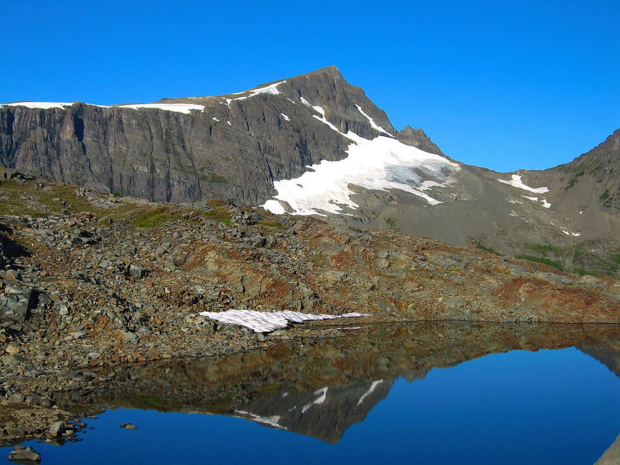
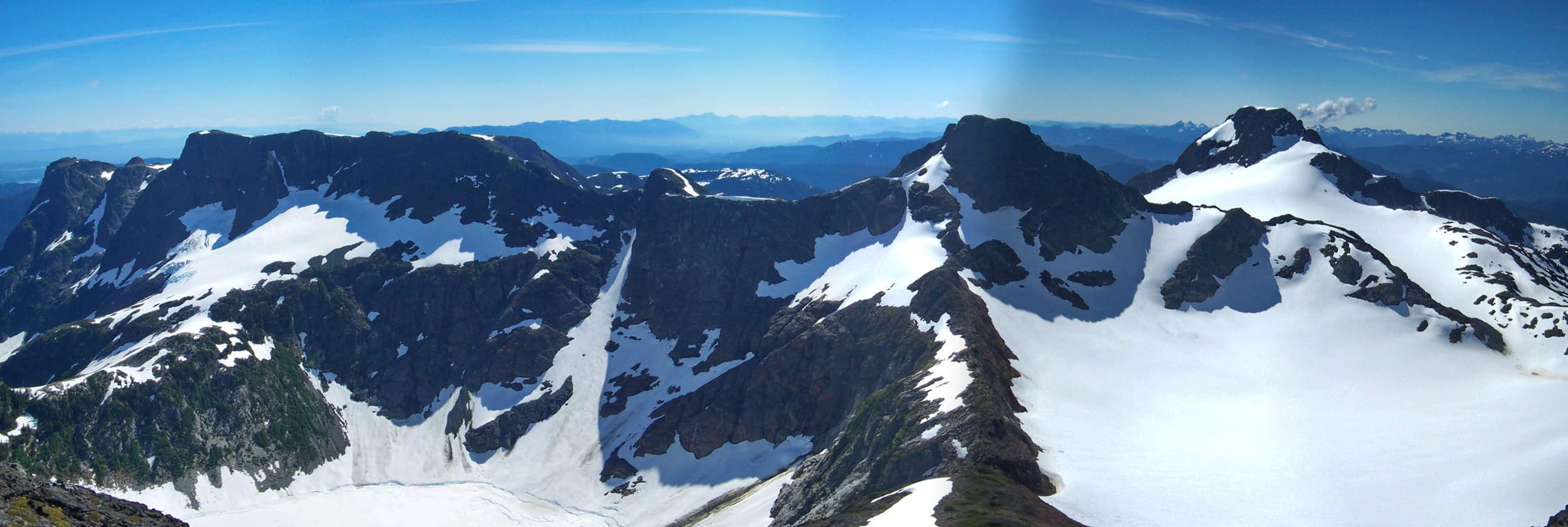
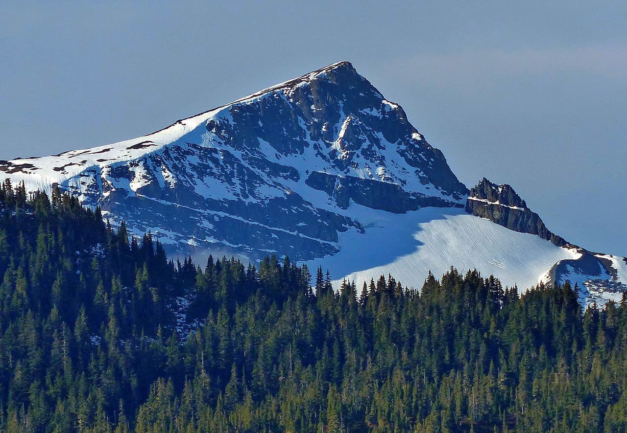
The triangular shaped park encompasses roughly 607,404-acres of Vancouver Island and contains some of the highest summits of the Vancouver Island Ranges, including Golden Hinde, Elkhorn Mountain, Mount Colonel Foster, Mount Albert Edward, Mount McBride, and Rambler Peak. The Karmutsen Formation, an incredibly thick, volcanic sequence of tholeiitic pillow basalts and breccias, is the most abundant rock unit in the park. The tallest mountains in the park are carved from these basalts.
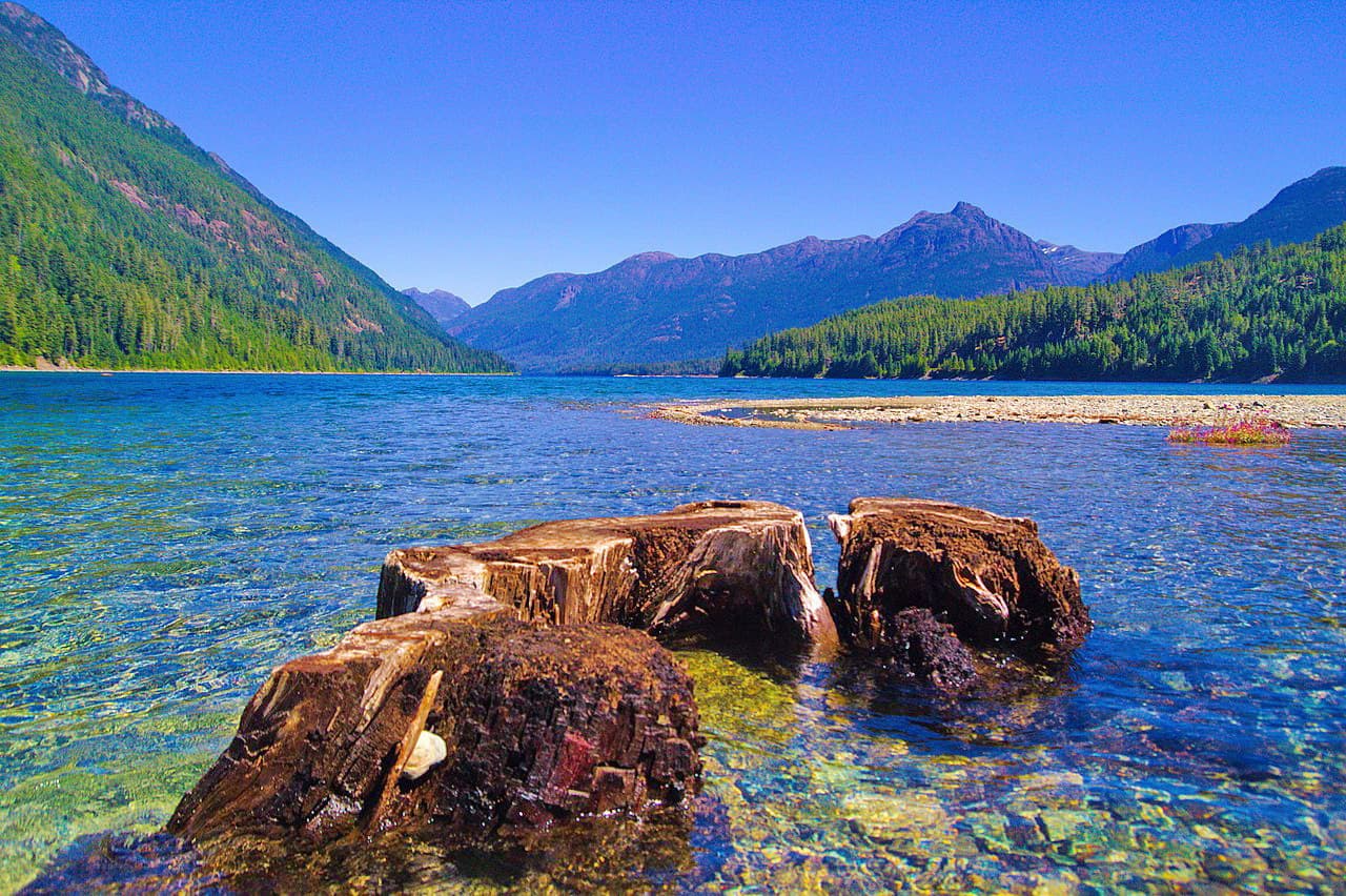
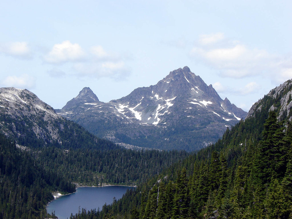
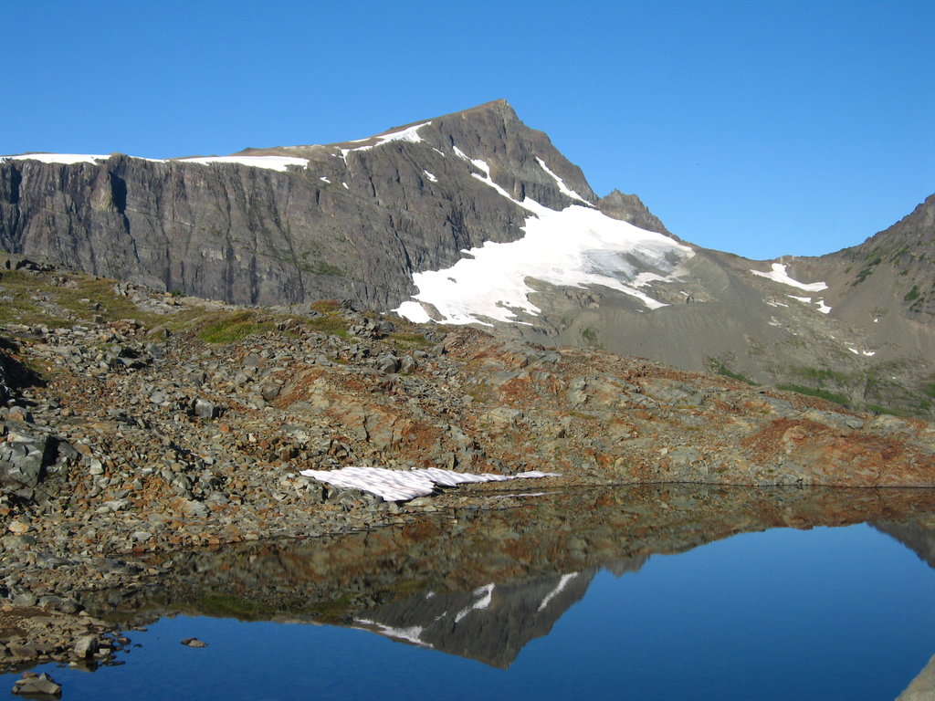
Unsurprisingly, Strathcona is infamous for its rugged topography, housing dozens of glacial-fed alpine lakes and tarns, striking glaciers (including Vancouver Island’s last remaining icefields), and one of the highest waterfalls in Canada, Della Falls. Though at one point, the Canadian government had hoped that Strathcona would become as popular as Banff National Park, Strathcona still remains predominantly wild and well-preserved.
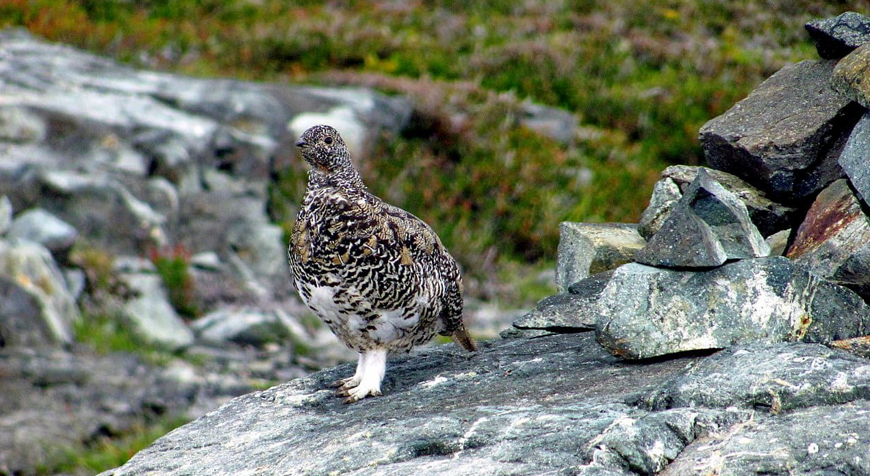
Ancient forests of Douglas-fir, western red cedar, grand fir, and western hemlock forest cover the park's lower regions and valley, providing the perfect habitat for native wildlife. Interestingly, because Vancouver Island is separated from mainland British Columbia by the Johnstone and Georgia Straits, wildlife here has evolved from their mainland relatives. Vancouver Island wolf, Roosevelt elk, and Vancouver Island marmot are all unique to the island.
The park is also connected to the Clayoquot Sound Biosphere Reserve, a UNESCO Biosphere Reserve that was established in 2000 to protect a diverse range of ecosystems, including nine undeveloped forested valleys and the temperate coastal rainforest. The Clayoquot Sound Biosphere Reserve also serves as a center for the natural dispersion and re-establishment of local species.
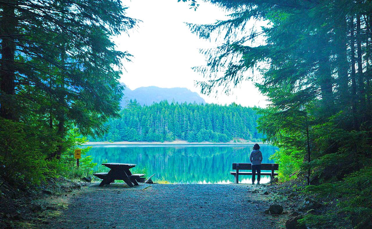
Though largely undeveloped, two areas of the park offer visitors a variety of outdoor recreation options: Buttle Lake and Forbidden Plateau. Buttle Lake sits between Campbell River and Gold River, spanning roughly 11 sq. miles. This area is particularly popular for camping, hiking, swimming, boating, fishing, and bicycling. The Forbidden Plateau sits at the east end of the Vancouver Island Ranges between Mount Albert Edward and Mount Washington. This gently sloping sub-alpine region boasts a huge network of popular hiking trails and is a popular destination for cross-country skiing.
Three areas of the park, Big Den, Central Strathcona, and Comox Glacier, have been designated as nature conservancy areas. These areas are dedicated to the preservation of the undisturbed natural environment, so accessing them requires additional effort and planning. The Megin-Talbot addition to Strathcona, which contains the largest undisturbed watershed on Vancouver Island and a salmon habitat, also offers wilderness camping, canoeing, and recreational fishing.
Located at the edge of the Forbidden Plateau, Mount Albert Edward’s distinctive summit dominates the skyline. Vancouver Island’s 6th highest peak, the trek to the summit of Mount Albert is a rewarding, but daunting task. The 20-mile hike climbs roughly 3,280 feet in elevation and can be attempted as a very long day trip or an overnight, backcountry adventure.
Requiring a little less effort than Mount Albert Edward, Mount Becher is the easternmost peak in the park and offers incredible views overlooking Comox Glacier. The trail is just a 6.8-mile round trip trek, but climbs an impressive 2,000 feet in elevation. Despite beginning near a large concrete structure, the trail quickly climbs to some of the most beautiful alpine terrain in the park.
Mount Myra is arguably one of the most renowned summits in Strathcona. This 10.5-mile trail to the summit of Mount Myra features panoramic views of Bedwell Lake, Golden Hinde, the tallest mountain on Vancouver Island, Mount Tellwood, and nearby Mount Tom Taylor. Most visitors will make a two day trip out of the trip to the summit of Myra and opt to camp at Tennant Lake.
The Strathcona Park Lodge is an off-the-grid wilderness sanctuary set against the incredible backdrop of the Elk River Valley. The lodge was originally founded in 1959 in an effort to improve Canada’s outdoor education industry. Today, the lodge boasts 160 acres of waterfront, hiking trails, and beaches, as well as a variety of rental options and guided trips, making it the perfect destination for both learning about and appreciating mother nature.
Adjacent Strathcona, the Mount Washington Alpine Resort is a year-round recreation destination that features over 1,700 acres and 1640 vertical feet of alpine terrain. The resort also boasts 34 miles of cross-country skiing, 15 miles of snowshoe trails, a Tub Park, and Fat Bike trails. During summer months, visitors can hop on the lift to access miles of mountain biking trails, play disc golf, or experience a 1.4-mile-long ZipTour. Nearby, the Mount Washington Village offers visitors a variety of A-frame cabins, condos, and chalets to choose from, as well as plenty of idyllic coffee shops and tasty restaurants.


ultra
canada-sampler
island-qualifiers
ramblers-lifetime-objectives
british-columbia-ultras
ultra
canada-sampler
island-qualifiers
ramblers-lifetime-objectives
british-columbia-ultras


