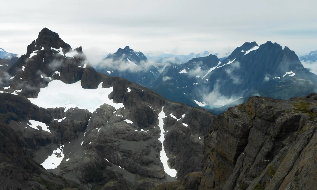
Kings Peak is a mountain located on Vancouver Island in British Columbia, Canada. The mountain is located in Strathcona Provincial Park 25 km (16 mi) northeast of Gold River and 2 km (1 mi) north of Elkhorn Mountain.
It is named after James and Michael King, late 19th century explorers who led an expedition into the region circa 1910.
Kings Peak is close to Highway 28 along the Elk River. It is one of the most frequented mountains on Vancouver Island.
There's an alpine trail (T4) called Kings Peak Trail leading to the summit.
By elevation Kings Peak is
# 6 out of 79 in Strathcona Provincial Park # 7 out of 1493 in the Northwest Coast Islands
We use GPS information embedded into the photo when it is available.
3D mountains overlay
Adjust mountain panorama to perfectly match your photos because recorded by camera photo position might be imprecise.
Move tool
Rotate tool
Zoom
More customization
Choose which peak labels should make into the final photo and what photo title should be.
Next
Photo Location
Satellitte
Flat map
Relief map
Latitude
Longitude
Altitude
OR
Latitude
°'''
Longitude
°'''
Apply
Register Peak
Peak Name
Latitude
Longitude
Altitude
Register
Teleport
PeakVisor
This 3D model of Sagarmatha National Park in Nepal was made using the PeakVisor app topographic data. The mobile app features higher precision models worldwide, more topographic details, and works offline. Download PeakVisor maps today.
Download OBJ model
PeakVisor
The download should start shortly. If you find it useful please consider supporting the PeakVisor app.
PeakVisor for iOS and Android
Be a superhero of outdoor navigation with state-of-the-art 3D maps and mountain identification in the palm of your hand!