Scan the QR code and open PeakVisor on your phone
The Birkenhead Lake Provincial Park is located in British Columbia, Canada. There are 6 named mountains in Birkenhead Lake Provincial Park. The highest and the most prominent mountain is Sockeye Horn/Mystery Peak at 8,179 feet. The park is located just northwest of Birkenhead Peak and Gates Lake which is also known as Birken Lake.
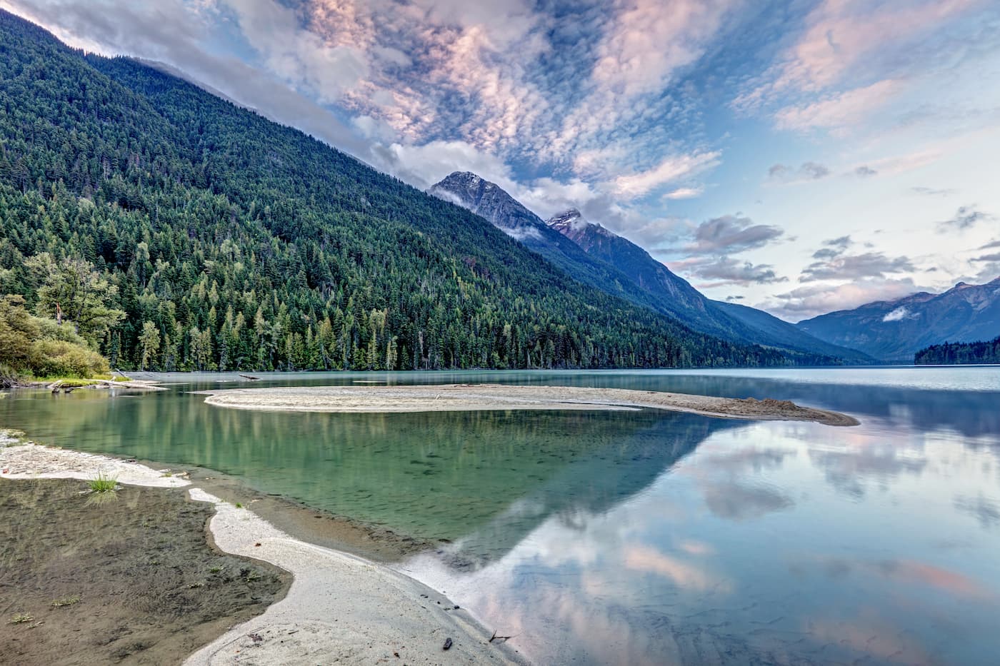
The park is small compared to others in the area, covering just 24,105 acres. Birkenhead Lake was first established in 1963 as a way to provide camping for those traveling from Whistler up to Lillooet. The park was later expanded in 1996 and again in 2008 to include alpine headwaters of the Sockeye Creek. Like much of the surrounding region, the park is home to black bears, grizzly bears, and mountain goats while Birkenhead Lake is home to Rainbow Trout and Kokanee.
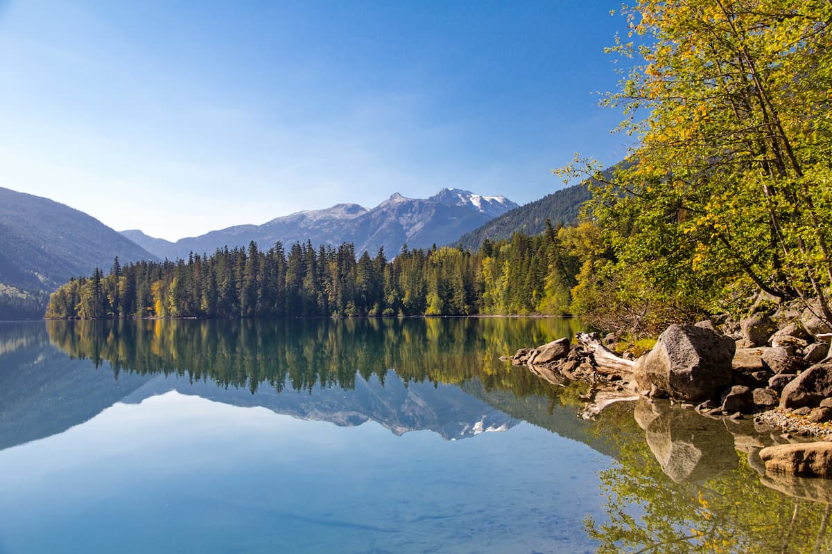
The 8 km trail leads hikers around Birkenhead Lake. Starting at the day use area of the lake, the trail leads to the south end of the lake where Birkenhead Lake Estates lies. The trial connects with Birkenhead Road and Tenas Valley logging road to create a full loop. The route takes you through old growth forest while offering stunning views of the entire lake and the surrounding mountains.
This short 1.5 km trail sits on the south side of the valley. The steep and rugged trail climbs above the tree line to offer unobstructed views of the lake and campsite below. The trail gets its name from the abundance of goats that frequent the nearby rocks. Note that during spring snow melt, the trail may be inaccessible if waters rise to cover the log bridge at the start of the trail.
Leaving from the main campground, this 2 km trail takes hikers through an old growth forest leading to a flat section of land with views of the lake and the surrounding mountains. The trail can be followed back to the campground, or head down to the shoreline to be made into a loop.
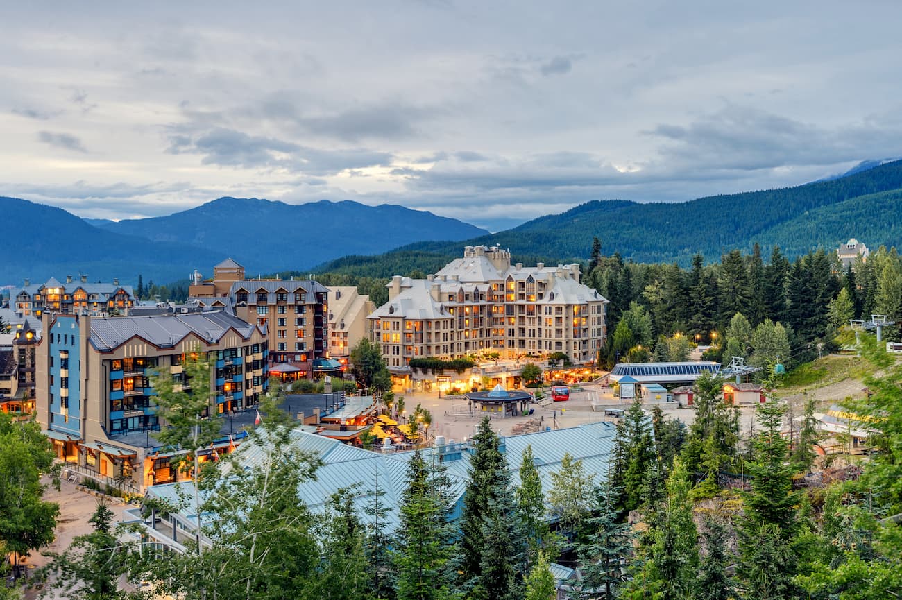
The city of Whistler is located just one hour south of Birkenhead Lake Provincial Park. Whistler is a resort town located in the mountains of British Columbia. It is home to Whistler Blackcomb which is one of the largest ski resorts in North America. The town only has 13,000 residents but is busy year-round with tourists. Despite being known for the ski resort, the town is almost equally as popular in the summer months for hiking and mountain biking. Take the gondola to the top of the mountain and hike from there, or explore the numerous nearby glacier lakes.
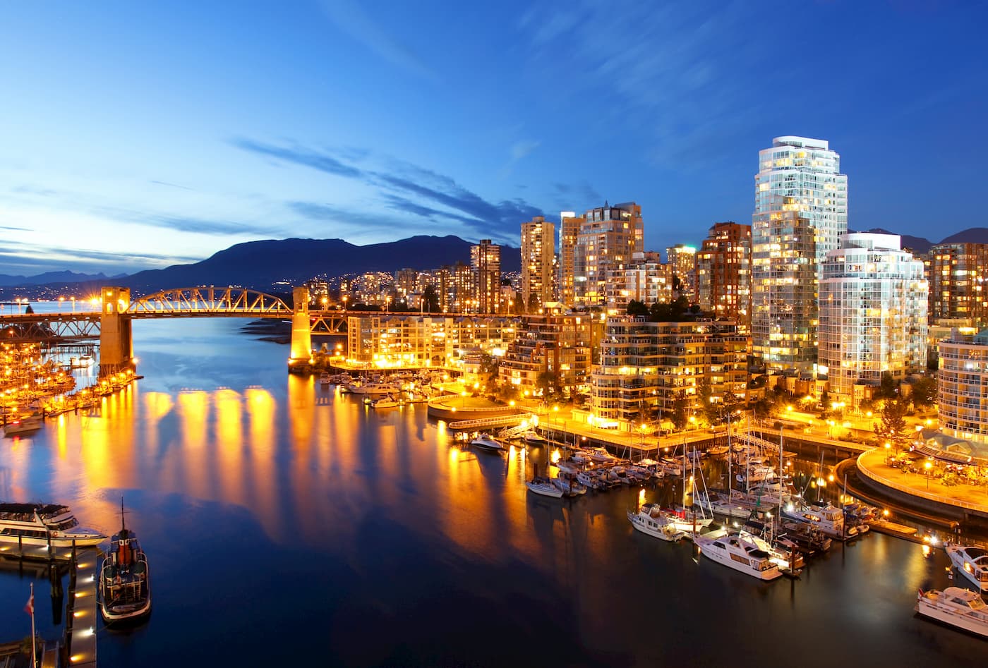
Vancouver is the third largest city in Canada and the largest city in the entire province. While the city population is 603,000, the Vancouver metro area has a population of over 2,500,000. The city is one of the most ethnically and linguistically diverse cities in Canada. The mild climate of the city, along with its abundant access to lakes, trails, and mountains, makes it a popular destination for outdoor recreation. The city is close to three ski resorts, and an abundance of hiking, running, and mountain biking trails.