
Scan the QR code and open PeakVisor on your phone
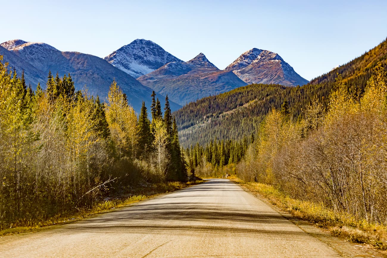
Ts'il?os (pronounced “sigh-loss”) Provincial Park is a provincial park located in British Columbia in Canada. The park spans 233,240 hectares across BC. Established in 1994, the Ts'il?os Provincial Park is known for the rugged mountains, clear lakes, glaciers, alpine meadows, and waterfalls. The park is bordered by the Coast Mountains on the west and the Interior Plateau to the east. Due to its proximity to the ocean, the southern end of the park is moist in comparison to the northern region. There are 90 named mountains in Ts'il?os Provincial Park. Good Hope Mountain is the highest point at 10,440 feet. The most prominent mountain is Monmouth Mountain.
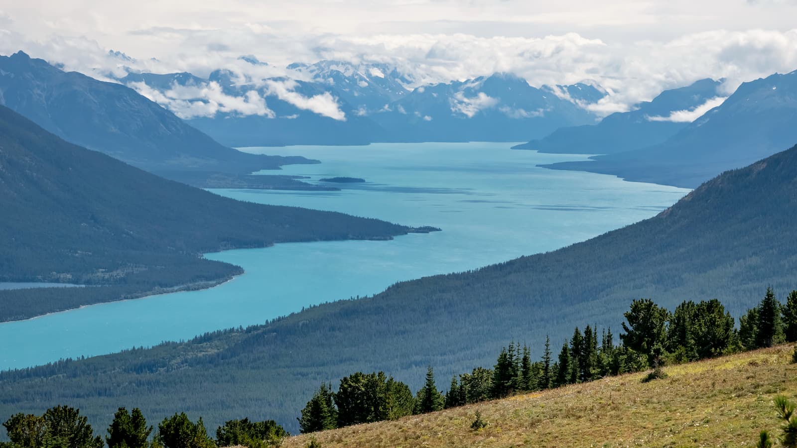
The park is home to Chilko Lake which is the largest, natural high-elevation freshwater lake in all of Canada. The lake is surrounded by vast peaks while the waters are crystal clear. The lake is also home to spawning sockeye salmon along its shores. The park was established to protect the threatened wildlife and diverse ecosystems. The Ts'il?os Provincial Park is home to black bears, mule deer, moose, beaver, cougar, and mountain goat. Those most endangered include bighorn sheep, grizzly bear, wolverine, and bald eagle. The park is quite remote and far from major cities, making nature quite undisturbed by humans. Because of this backcountry hiking and camping are a popular way to experience this outdoor space.
This backcountry route is one of the most popular in the park. The trek usually takes 4-6 days and is used by hikers, hunters, and horseback riders. The trail heads west through Tchaikazan valley and then returns eastward through Yohetta Valley. The route takes you over Spectrum Pass and next to Dorothy Lake. A side trip from Dorothy Lake descends through Rainbow Creek Valley and ends at Chilko Lake. Albeit beautiful, this route is quite remote and necessary precautions should be taken in the backcountry.
Starting at the north of Chilko Lake this hike often takes about 6-9 hours. The trail steadily climbs away from the lake and ascends Tullin Mountain. From there hikers have expansive views of the gorgeous lake below, and the surrounding mountain views.
*trails in the backcountry are not maintained so be prepared for fallen trees and obstacles that may come your way
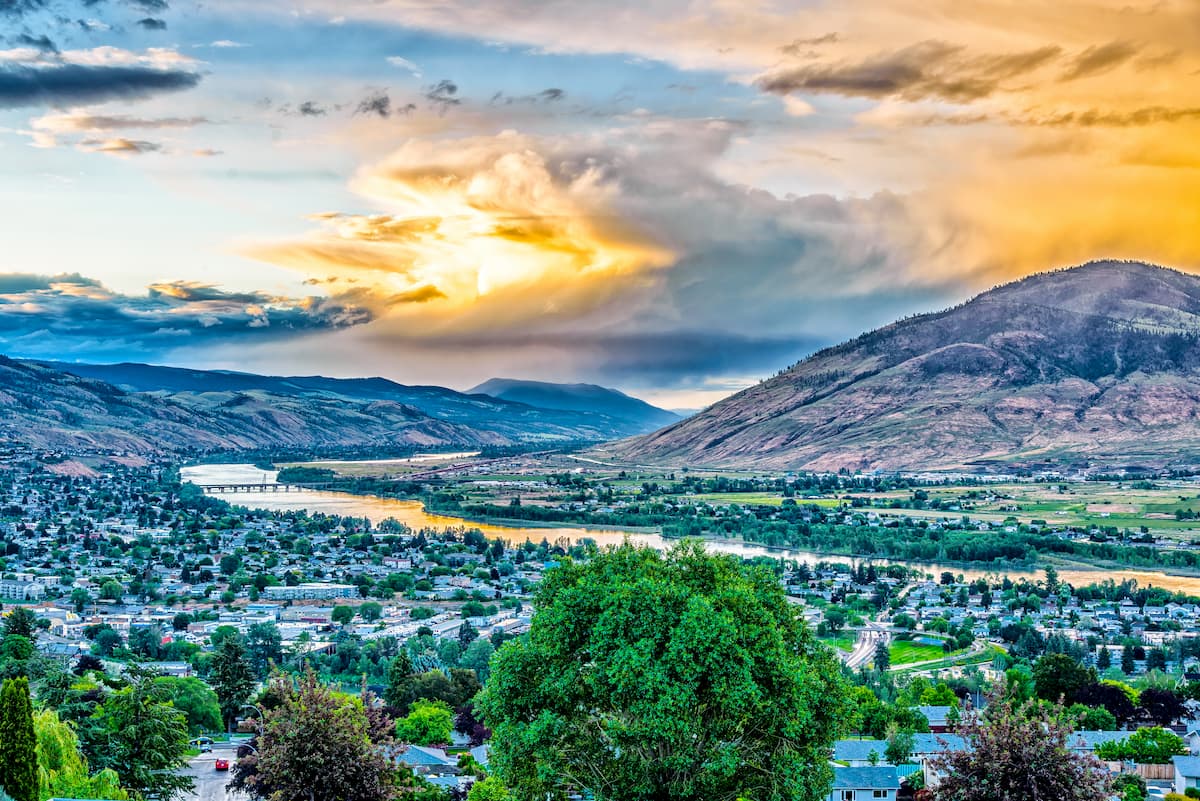
Located 5 hours southeast of Ts'il?os Provincial Park sits the city of Kamloops. The city is in south central British Columbia at the confluence of the two branches of the Thompson River. West of the city sits Kamloops Lake. Kamloops has a population of just over 100,000 making it the 12th largest city in the province. The city is known as the Tournament Capital of Canada as it hosts over 100 athletic tournaments per year. The region attracts many tourists for the Sockeye Salmon Run, Kamloops Bike Ranch, BC Wildlife Park, and other outdoor activities. Kamloops is the perfect place whether you’re looking for an outdoor adventure or an art gallery and wine tasting.
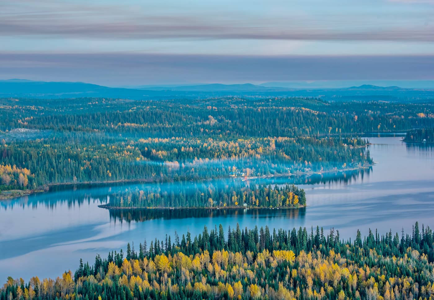
Prince George is located 4.5 hours northeast of Ts'il?os Provincial Park. The city is the largest city in northern BC with a population of nearly 90,000. Prince George is located at the confluence of the Fraser and Nechako rivers and at the intersection of the northern and southern portions of the Rocky Mountains. The region is a hub for outdoor activities with numerous parks within city limits, as well as four nearby provincial parks. Despite such an abundance of outdoor activities, Prince George is also home to the Theatre Northwest that puts on shows throughout the year in the city. The city is home to annual events such as the Coldsnap Festival, Summerfest, Forestry and Resource Expo, and the British Columbia Northern Exhibition.


-R4.jpg)


