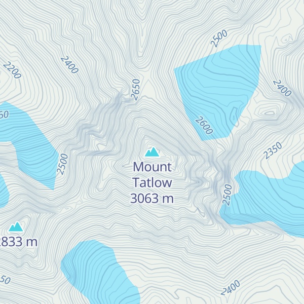
Tŝ’ilʔoŝ, also known as Mount Tatlow, is one of the principal summits of the Chilcotin Ranges subdivision of the Pacific Ranges of the Coast Mountains of southern British Columbia. Standing on an isolated ridge between the lower end of Chilko Lake and the Taseko Lakes, it is 3,063 m (10,049 ft) in elevation.
Southeast across the Taseko Lakes is Taseko Mountain 3,063 m (10,049 ft), the highest summit between those lakes and the Fraser River, while directly south beyond Yohetta Valley (a deep valley which connects the relative lowlands around Chilko and Taseko Lakes is the massif containing Monmouth Mountain 3,182 m (10,440 ft). Southwest across Chilko Lake is Mount Good Hope 3,242 m (10,636 ft) and due west, also across Chilko Lake, is Mount Queen Bess 3,298 m (10,820 ft), the highest peak east of the Homathko River before the Waddington Range massif, which is at the core of the range and contains Mount Waddington 4,016 m (13,176 ft).
By elevation Mount Tatlow is
# 45 out of 2841 in the Canadian Coast Mountains # 34 out of 555 in Cariboo Regional District # 11 out of 95 in Ts'il?os Provincial Park
By prominence Mount Tatlow is
# 33 out of 2841 in the Canadian Coast Mountains # 89 out of 27097 in Canada # 6 out of 555 in Cariboo Regional District # 1 out of 95 in Ts'il?os Provincial Park # 65 out of 8219 in British Columbia
We use GPS information embedded into the photo when it is available.
3D mountains overlay
Adjust mountain panorama to perfectly match your photos because recorded by camera photo position might be imprecise.
Move tool
Rotate tool
Zoom
More customization
Choose which peak labels should make into the final photo and what photo title should be.
Next
Photo Location
Satellitte
Flat map
Relief map
Latitude
Longitude
Altitude
OR
Latitude
°'''
Longitude
°'''
Apply
Register Peak
Peak Name
Latitude
Longitude
Altitude
Register
Teleport
PeakVisor
This 3D model of Sagarmatha National Park in Nepal was made using the PeakVisor app topographic data. The mobile app features higher precision models worldwide, more topographic details, and works offline. Download PeakVisor maps today.
Download OBJ model
PeakVisor
The download should start shortly. If you find it useful please consider supporting the PeakVisor app.
PeakVisor for iOS and Android
Be a superhero of outdoor navigation with state-of-the-art 3D maps and mountain identification in the palm of your hand!