Get PeakVisor App
Sign In
Search by GPS coordinates
- Latitude
- ° ' ''
- Longitude
- ° ' ''
- Units of Length

Yes
Cancel
❤ Wishlist ×
Choose
Delete
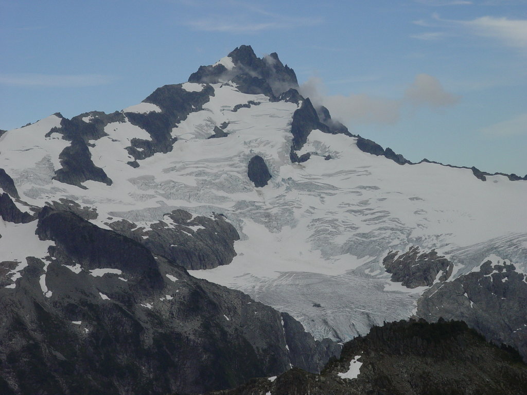
Just north of Squamish, Tantalus Provincial Park is a remote wilderness area that protects 28,049-acres of the Tantalus Range, including the former Lake Lovely Water Recreation Area.
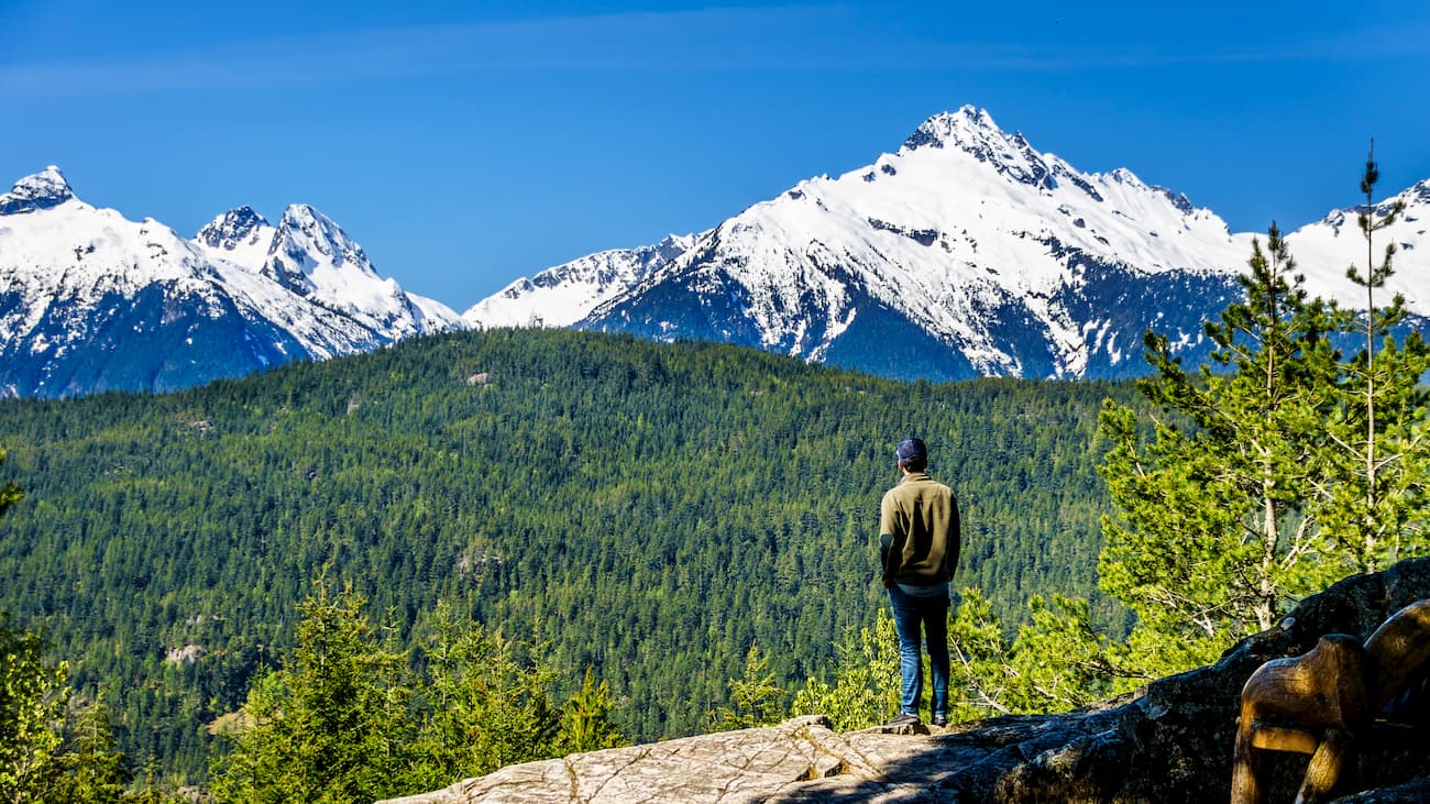
Established in 1998, Tantalus is a mecca for outdoor recreation, including hiking, fishing, mountaineering, and advanced backcountry skiing. The park’s lack of facilities and remoteness make it a particularly popular destination for those seeking solitude and isolation.
The park’s most iconic landmark, Lake Lovely Water, is a stunning sub-alpine lake that sits at over 3,800 feet above sea level. Lake Lovely Water formed from the pooling of glacial meltwater. The lake’s dazzling blue waters are encircled by a series of rugged, granite peaks found within the Tantalus Range.
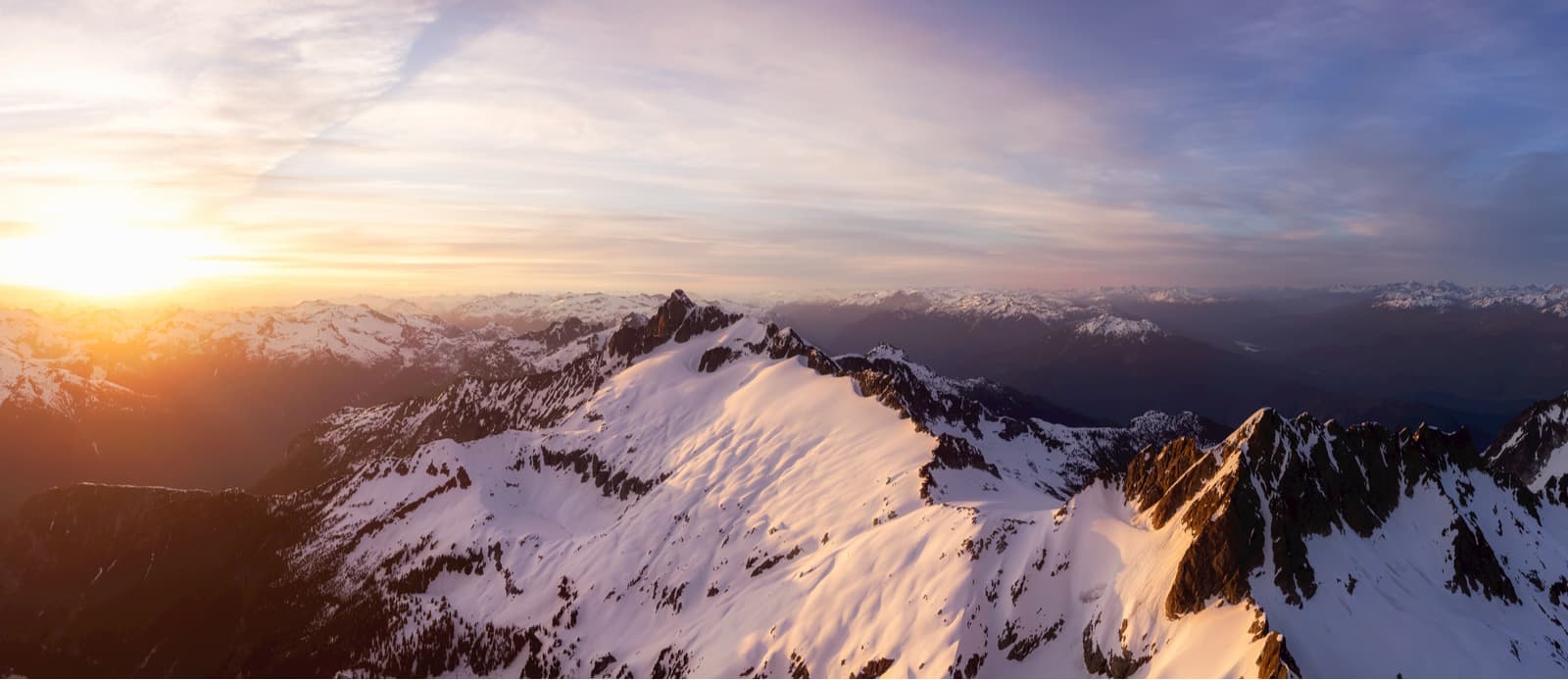
Impressive craggy summits, sprawling glaciers, cascading mountain streams, and tranquil stands of old-growth forest and sub-alpine meadows define the park’s landscape.
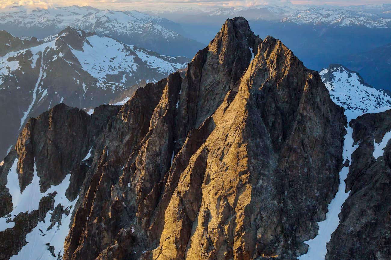
Mount Tantalus, the park’s highest point, reaches over 9,600 feet. Nearby, imposing peaks like Mount Dione, Serratus Mountain, Pelion Mountain, and Alpha Mountain tower to over 7,500 feet. Named after Greek Gods, these notorious summits are understandably cherished by climbers. In fact, the Tantalus Range was allegedly named by a local mountain climber who was “tantalized” by the sight of the impressive spires in the region.
This jaw-dropping alpine lake is the crown jewel of the Tantalus Provincial Park and one of the best-kept secrets of British Columbia. Surrounded by granitic monoliths, Lovely Water is the ideal destination for hiking, backpacking, climbing, fishing, and camping.
There is no road access to the trailhead, so hikers will need to cross the river via boat. Once at the trailhead, the rugged trail climbs for roughly 4 miles before reaching the lake. The Tantalus Hut, built by the Alpine Club of Canada, can be located at the outflow end of the lake and can be reserved for $25/night. There are also a handful of campsites along the shoreline.
From Lake Lovely Water, hikers can scramble or climb to the summit of nearby Mount Omega, Mount Niobe, Mount Pelops, or explore Niobe Meadows and Lambda Lake Meadows.
Located just north of Vancouver, Squamish sits at the northern tip of the Howe Sound, Known as a basecamp for adventure, Squamish is home to premiere accommodations, restaurants, and amenities. Squamish is also less than an hour from several iconic summits in the Squamish-Cheakamus Divide, as well as Brandywine Falls Provincial Park and Tantalus Provincial Park. Squamish is infamous for its epic hiking trails, biking trails, and the sea-to-sky, scenic gondola.
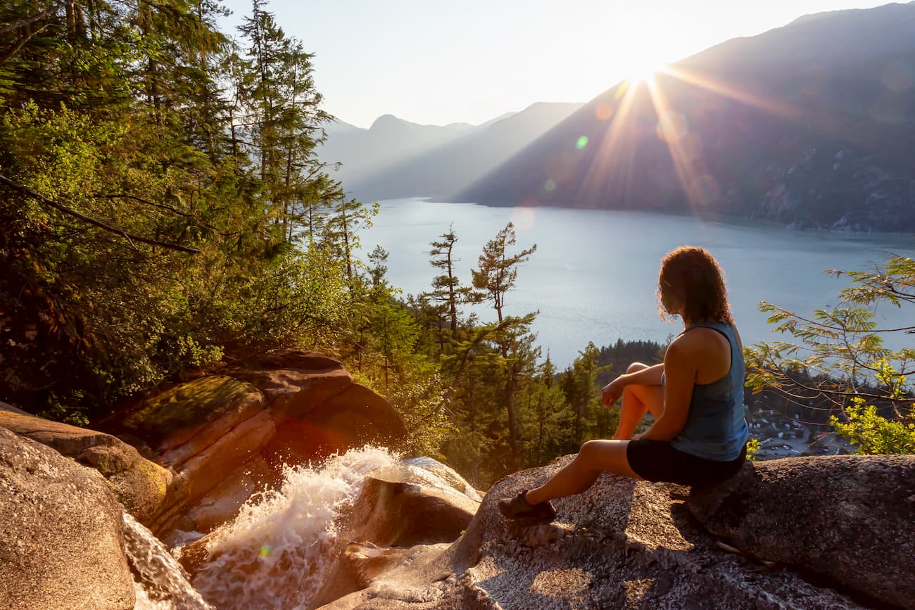
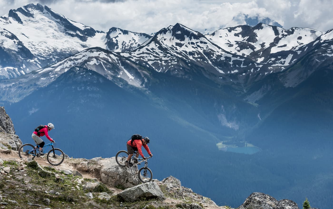
North of Squamish, Whistler is also an excellent basecamp for outdoor adventure. Whistler is best-known for hosting the 2010 Winter Olympic games and remains popular amongst diehard, backcountry skiers and snowboarders. Whistler Blackcomb, which sits within Whistler Village, sits at the base of the Whistler and Blackcomb Mountains and offers a resort village catered to outdoor enthusiasts. Shops, cafes, bars, and restaurants line the streets of this pedestrian-only village.
Explore Tantalus Provincial Park with the PeakVisor 3D Map and identify its summits.


