Get PeakVisor App
Sign In
Search by GPS coordinates
- Latitude
- ° ' ''
- Longitude
- ° ' ''
- Units of Length

Yes
Cancel
❤ Wishlist ×
Choose
Delete
The Zuni Mountains are located to the west of Albuquerque in New Mexico, USA and encompassed by the Mt. Taylor Ranger District of Cibola National Forest. Of the 199 peaks in the range, Mount Sedgewick is both the highest and most prominent mountain. Its summit measures 9,252 ft (2,820 m) and it has a prominence of 1,857 ft (566 m).
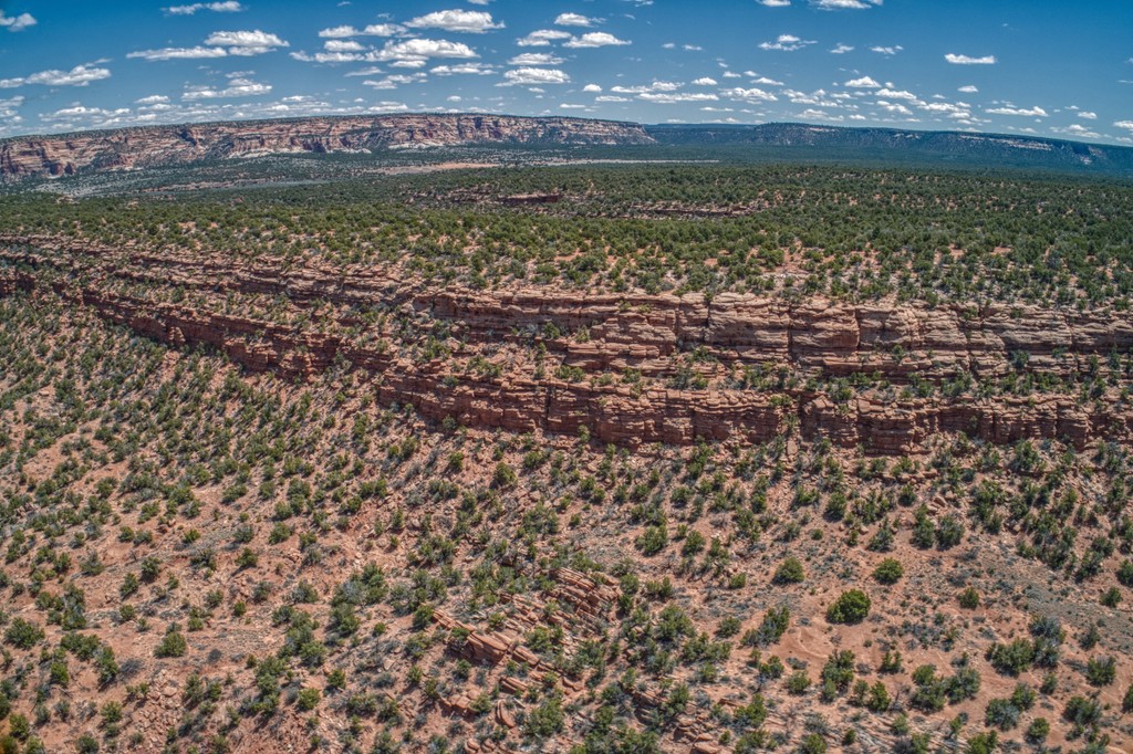
The Zuni Mountains in northwestern New Mexico are part of the Mount Taylor Ranger District of Cibola National Forest. The district covers both the Zuni Mountains and Mount Taylor – part of the North San Mateo Mountains and the highest point in Cibola National Forest. The range falls primarily in Cibola County.
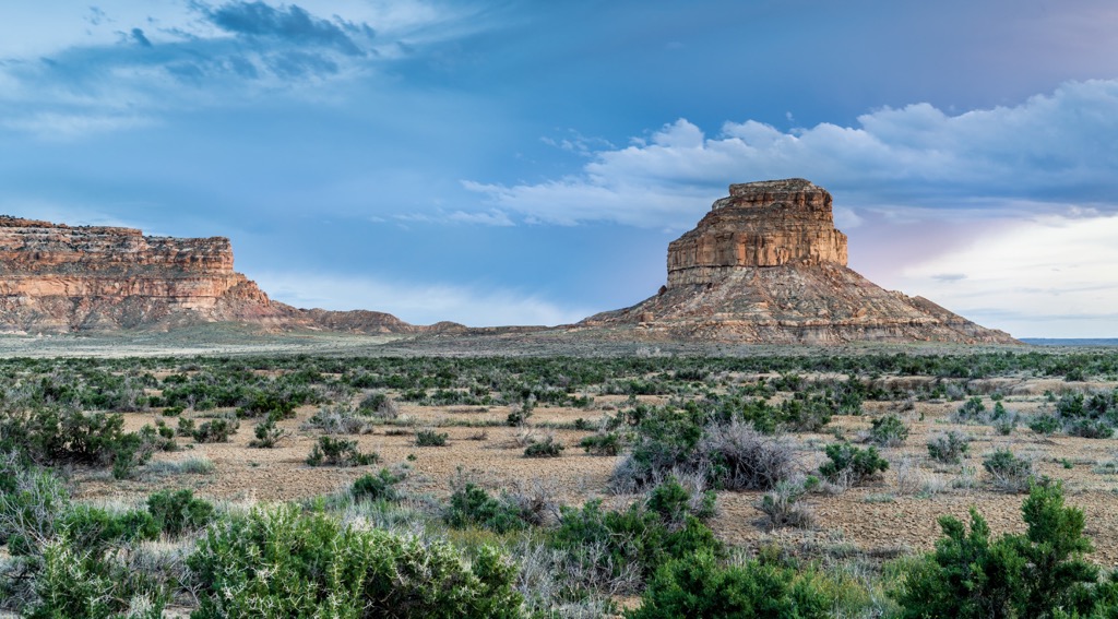
The region was home to the Zuni, Acoma, and Navajo tribes. The Navajo called the mountains Naasht’ézhí Dził and Ńdíshchííʼ Ląʼí. The tallest peaks in the range are Mount Sedgewick (9,252 ft/2,820 m), Lookout Mountain (9,114 ft/2,778 m), Oso Ridge (9,081 ft/2,768 m), and Mount Powell (8,757 ft/2,669 m).
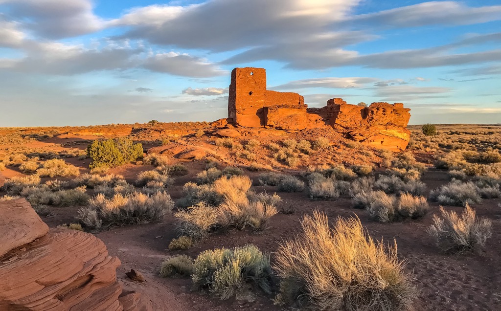
The mountains are north of El Malpais National Monument and El Morro National Monument.
The earliest mining in the mountains was done by Native Americans for obsidian, basalt, turquoise, malachite, azurite, and perhaps fluorite.
Proterozoic granite and metamorphic rocks compose the core of the range which was uplifted during the Ancestral Rocky Mountains and Laramide orogenies. Hornblendite and serpentinized peridotite are the oldest rocks. Other rocks present include gneiss, schist, amphibolite, syenite, pegmatites, and diabase dikes.
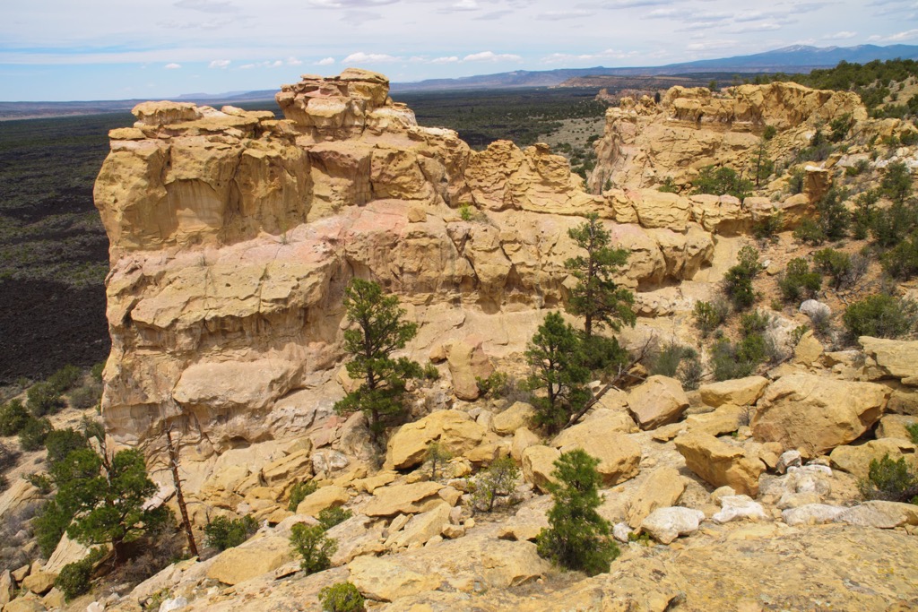
There are four types of granite – Mount Sedgewick granite (high calcium content), Zuni granite (high silica content), Cerro Colorado gneissic aplite (high silica content), and Oso granite (high potassium content).
Metamorphic rocks are overlaid by sedimentary deposits from the Pennsylvanian and Permian age. The youngest geologic formations are basalt flows and cinder volcanoes formed by volcanism in the region during the Quaternary period.
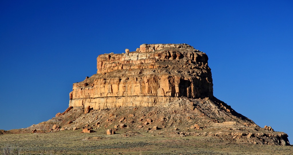
The range is rich in mineral deposits such as malachite, azurite, chalcopyrite, chalcocite, native copper, bornite, galena, and sphalerite. There are copper veins running through it and some silver and gold.
The Zuni Mountains are covered by forests dominated by ponderosa pine with conifers, douglas fir, and aspen trees mixed in. The range has been the focus of the Zuni Mountain Collaborative Forest Landscape Restoration Program.
The joint effort pulls together multiple stakeholders to recreate historic vegetation conditions on the mountain slopes. This is accomplished by thinning forests and using prescribed burns. The ultimate goal is to have fewer young, small trees and maintain larger trees with space between for grass and herbs to recover in the area. Wood that has been thinned is used as firewood for both personal and commercial use.
The area is also part of the Bluewater Ecosystem Restoration project. From around 1890 to 1940, logging damaged much of the watershed. Grazing livestock, fires, and mining compounded the landscape degradation. Large sections of the watershed was sold to the USDA Forest Service in the 1940s and efforts continue today to strengthen and restore the watershed.
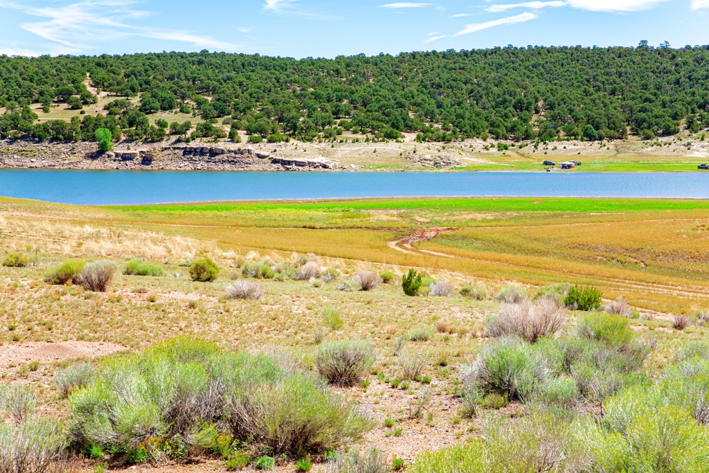
The watershed provides important riparian habitat for mallard ducks, Virginia rails, violet-green swallows, mourning doves, broad-tail hummingbirds, belted kingfishers, northern flickers, piñon jays, Clark’s nutcrackers, Steller’s jays, common ravens, mountain chickadees, house wrens, American robins, and mountain bluebirds.
Mammals such as deer mice, piñon mice, mountain cottontails, bats, beavers, long tailed weasels, coyotes, red foxes, gray foxes, and mule deer also enjoy this habitat. Tree lizards, many-lined skinks, western rattlesnakes, southern spadefoots, red-spotted toads, woodhouse toads, rainbow trouts, brown trouts, white suckers, central stonerollers, and fathead minnows also live in and along the waterways.
One species of interest in the area is the Zuni Bluehead Sucker, a native, endangered fish species endemic to the mountains. The mountains are home to mammals such as mule deer, black bears, bobcats, mountain lions, and coyotes.
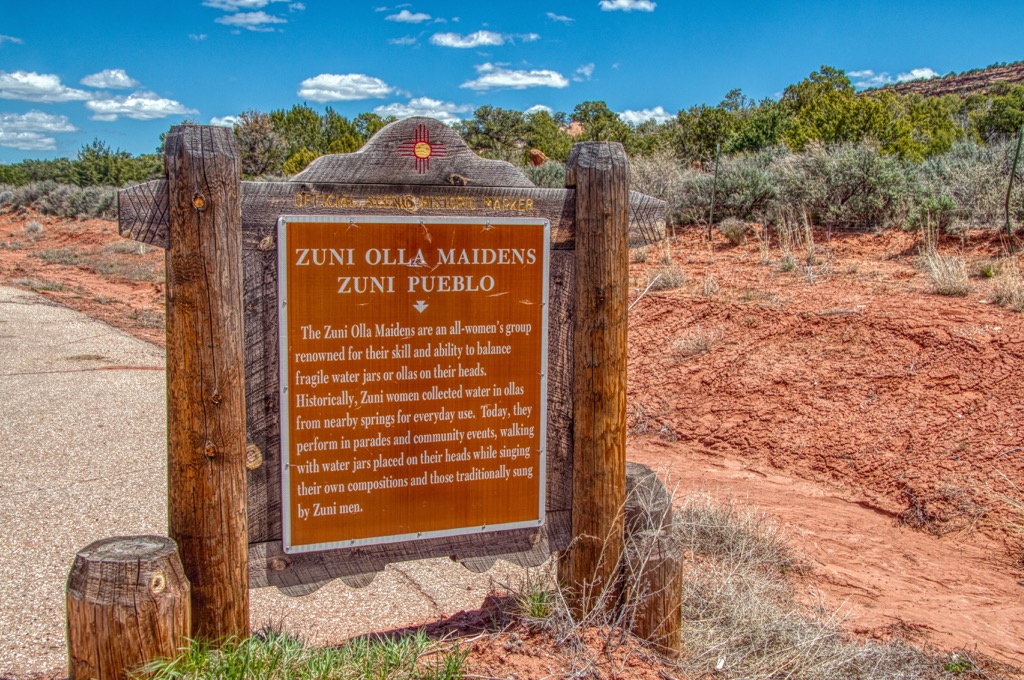
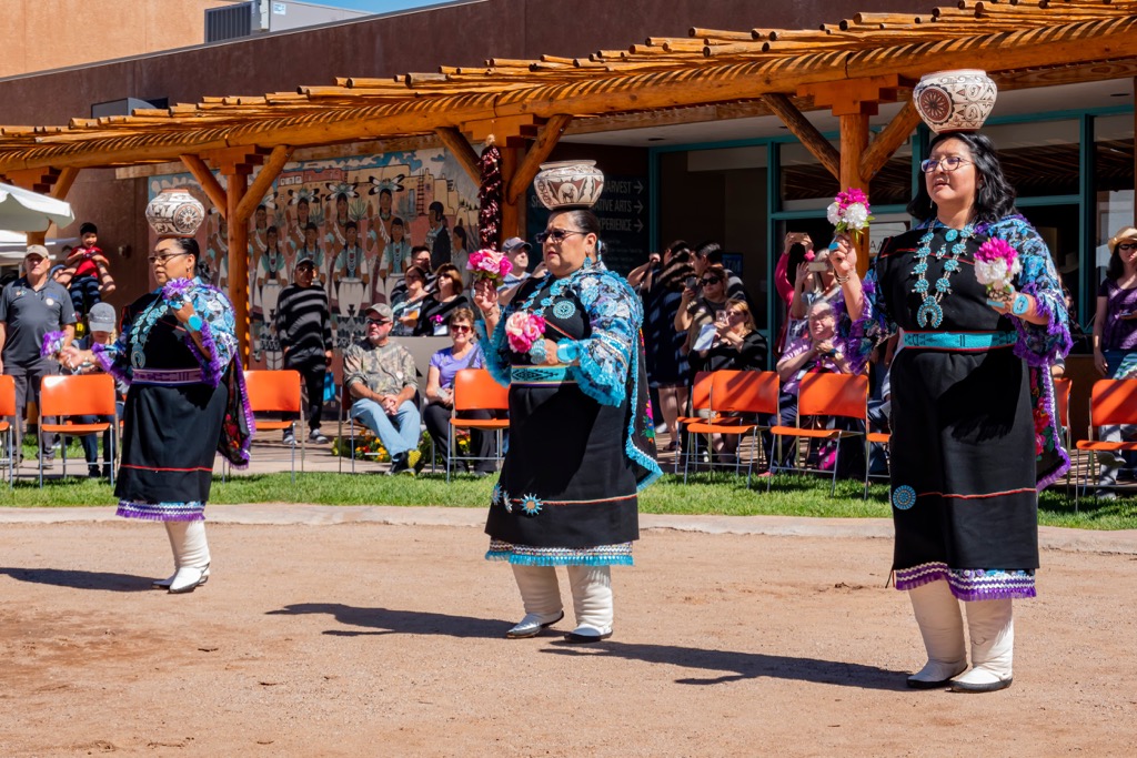
The Zuni, Acoma, and Navajo all occupied the area in and around the Zuni Mountains. Today the Zuni Reservation, Ramah Navajo Indian Reservation, and Acoma Pueblo neighbor the mountains to the south.
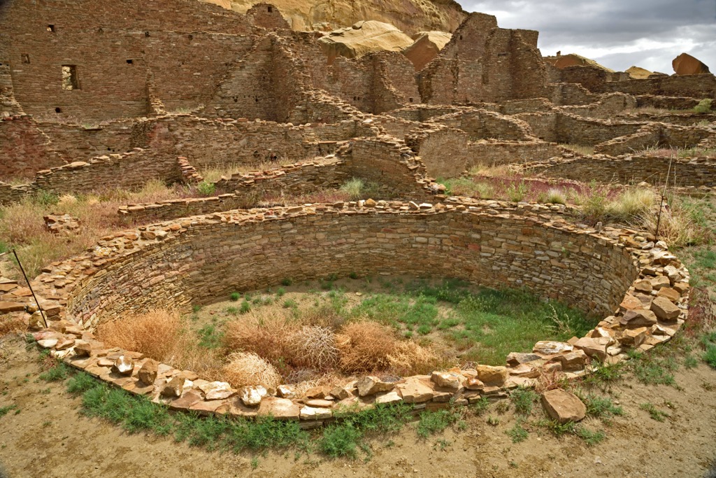
Spanish explorers led by Francisco Vasquez de Coronado first arrived in 1540. The Spanish began establishing towns in the 1590s with the mission to find silver and to convert Native Americans to Christianity. They also brought with them diseases such as smallpox and measles that killed many Native Americans.
The mountains are peppered by historic sawmills and logging communities. Railroads were laid through the mountains from the late 1800s to early 1900s. Logs were sent to sawmills and the finished lumber and wood was shipped as far as California, Colorado, and Missouri.
While the railways existed, they worked closely with the Atlantic Pacific Railroad (the Atchison, Topeka, and Santa Fe Railway in the modern day) that runs north of the mountains. Not only was the area around the northern railway logged, but the railway both transported lumber out of the region and bought it for crossties and bridge timbers.
However, the industry was not sustainable and after harvesting many of the trees in the area, jobs dwindled and the industry in the region faded away.
The area by the Zuni Mountains and Mount Taylor was a main flight corridor during early aviation days. In the past decade or so, there have been several projects to locate plane crash sites and beacon sites along the Continental Divide.
The mountains are part of Cibola National Forest. The national forest originated from a series of forest reserves established in the late 1800s and early 1900s to protect watersheds, soil, and forests.
The Zuni Mountain Trail Partnership created more than 186 mi (299 km) of hiking and mountain biking trails, 28 mi (45 km) of connector trails, and six new trailheads for livestock, biking, and hiking. Ojo Redondo Campground is southwest of Mount Sedgwick, the tallest peak in the range. The trail system is closed mid-December to late spring each year to protect trails from snow and runoff.
Around 7 mi (11.3 km) long, this trail has 700 ft (213 m) of elevation gain and is good for hiking and mountain biking. It begins with rolling hills, then follows a canyon rim before climbing to the ridge, including a couple steep sections. The trail intersects the Quasimodo Trail. Shortly after this intersection is an overlook. Afterwards the trail drops down and finishes along an abandoned logging road.
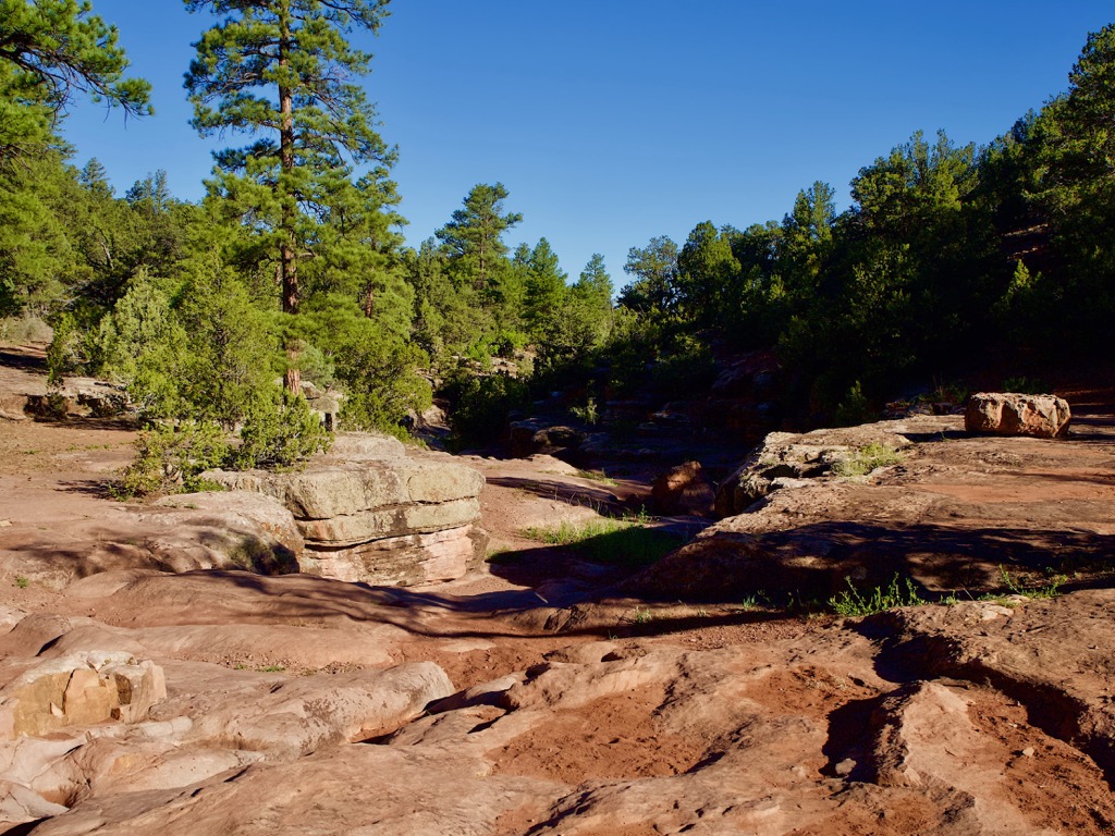
The Quasimodo Trail is 4.4 mi (7.1 km) with 600 ft (183 m) of elevation gain and picks up from the Milk Ranch Trail. The path cuts through forested hills of ponderosa pine and canyons to reach the Berma Trail intersection. It has a mix of steep climbs with downhills and is another great choice for mountain bikers.
This loop is 12.6 mi (20.3 km) and has 930 ft (283 m) of elevation gain. The trail begins and ends at McGaffey Campground and runs through ponderosa forest along the way.
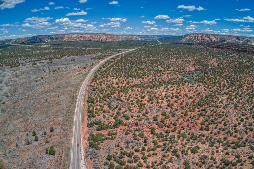
It is only a short hike to the top of Mount Sedgewick, the tallest peak in the range. Pick up Road 504, west of Ojo Redondo Campground and drive nearly to the peak. Once parked, the trail climbs through pine and fir forest. Some trees have been damaged by past fires. Views from the top offer a great perspective on Mount Taylor.
There are several campsites nearby including Ojo Redondo Campsite and McGaffey Campground. Small towns are located around the mountains and the Zuni Reservation, Ramah Navajo Indian Reservation, and Acoma Pueblo lie to the south.
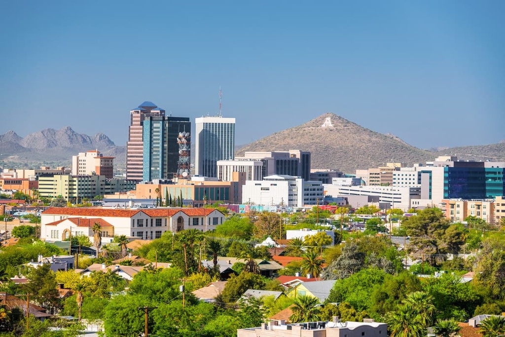
Located to the east, Albuquerque, New Mexico is home to 560,000 people and packed with things to do. Get an aerial view from a hot-air balloon, take it easy on one of the many golf courses, mountain bike around the Sandia foothills, or kayak on the Rio Grande. While there are lots of hiking trails, the Sandia Peak Aerial Tramway is an option for those who want the views but not the climb to the mountain’s 10,378 ft (3,163 m) summit.
Take in the area’s culture and history at the National Hispanic Cultural Center, the Indian Pueblo Cultural Center, and the Georgia O’Keeffe Museum. Petroglyph National Monument is nearby and offers a fantastic glimpse into the past. For ultimate relaxation, take advantage of one of the spas that utilize natural resources like geothermal hot mineral springs, clay, piñon oil, juniper, and sage.
The dining scene is diverse but New Mexican cuisine shines. Taste the best of the southwest with dishes centered around the staples of corn, beans, squash, and chiles with Mexican, Native American, and Spanish influence. But if you’re not in the mood for that, choose from sushi, taquerias, fine dining, wine bars, breweries, and more. For accommodation, all standard hotels and motels are available. For something with a bit more of a local feel, find an adobe B&B, a luxury resort, or a campground or RV park outside the city.
Santa Fe, New Mexico has a population of 85,000 and is located northeast of the mountains. Learn more about the area’s history at the Indian Pueblo Cultural Center, ancient Native American sites with petroglyphs, or adobe and European-style churches that are hundreds of years old. The city is packed with markets highlighting arts, Native American culture, and Spanish culture.
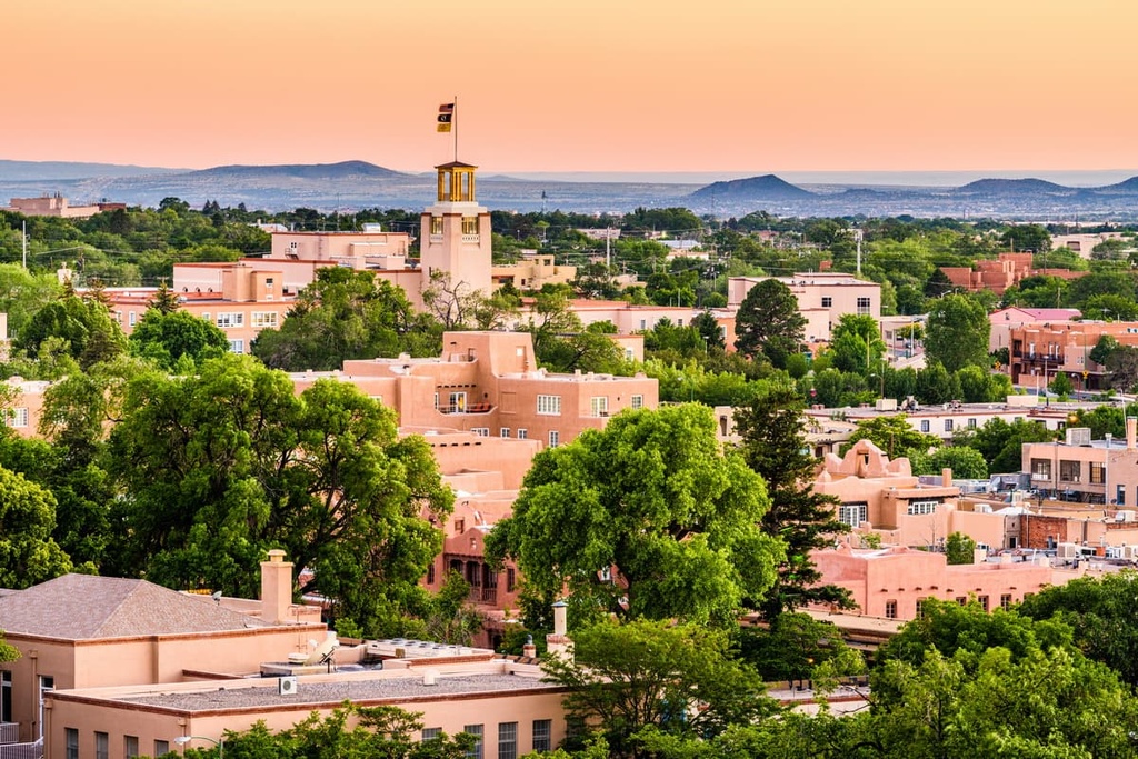
Situated at the foothills of the Sangre de Cristo Mountains, the city is close to a plethora of biking and hiking trails. In the summer, hit the golf courses or go rafting on the Rio Grande or Rio Chama. In winter, the slopes have something for everyone from easy to double black diamonds.
Lodging in the city goes from fancy resorts and boutique hotels to intimate B&Bs and campgrounds under the stars. The city features New Mexican classics with chiles showing up everywhere from green chile stew to enchiladas to chile rellenos. There is also a variety of other cuisines like Indian, Asian, and Middle Eastern and a selection of cafes, breweries, and pizzerias.
Across state borders to the west, Flagstaff, Arizona has a population of 73,000 and is a four-season destination. Located at just under 7,000 ft (2,130 m) elevation, the city has clear, blue-skied summers and an average of 108 in (274 cm) of snow in the winter. It is also surrounded by the world’s largest contiguous ponderosa pine forest.
Flagstaff was the first International Dark Sky City and a night trip to view the starry sky is highly recommended. The city lies 80 mi (130 km) from Grand Canyon National Park making it an easy day trip.
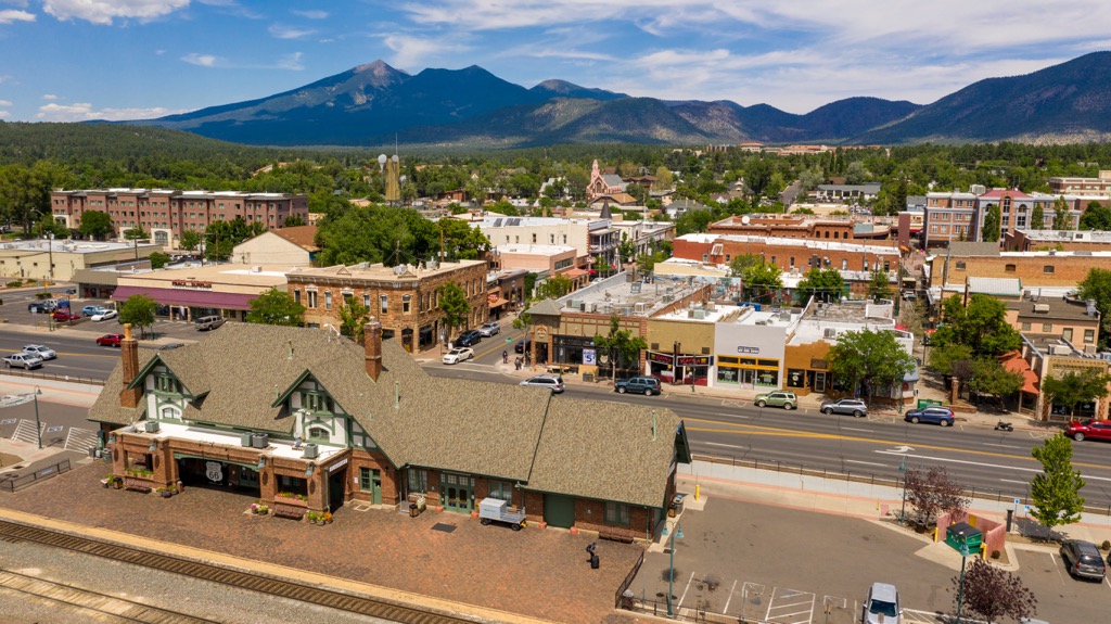
The Museum of Northern Arizona dives into the region’s Native American history. See historic sites firsthand at Wupatki National Monument, the site of several settlements of the Ancestral Puebloans, and Walnut Canyon National Monument, the site of cave dwellings of the Sinagua. Wupatki has a driving loop and Walnut Canyon has two hiking trails that lead to more than two dozen sites.
The city offers diverse options for accommodation including historic hotels, B&Bs, motels, campgrounds, and RV parks. Dining options span from burgers and pizzas to Asian and Mediterranean cuisine and plenty in-between.
Explore Zuni Mountains with the PeakVisor 3D Map and identify its summits.


