Mount Taylor (Navajo: Tsoodził, Navajo pronunciation: [tsʰòːtsɪ̀ɬ] means "The Great Mountain") is a dormant stratovolcano in northwest New Mexico, northeast of the town of Grants. It is the high point of the San Mateo Mountains and the highest point in the Cibola National Forest.
It was renamed in 1849 for then-president Zachary Taylor. Previously, it was called Cebolleta (tender onion) by the Spaniards; the name persists as one name for the northern portion of the San Mateo Mountains, a large mesa. The Navajo, for whom the mountain is sacred, still call it Turquoise Mountain (Tsoodził).
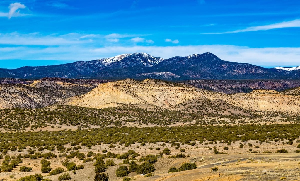
Mount Taylor is largely forested with some meadows, rising above the desert below. The mountain is heavily eroded to the east. Its slopes were an important source of lumber for neighboring pueblos.
There's a trail called Gooseberry Trail (77) leading to the summit. Mount Taylor is one of the 29 peaks along the multi-day Divide Trails - North America.
By elevation Mount Taylor is
# 52 out of 5677 in the Colorado Plateau # 71 out of 2897 in New Mexico # 1 out of 200 in Cibola County # 1 out of 21 in Cibola National Forest – Mt. Taylor Ranger District (East) # 1 out of 198 in the North San Mateo Mountains
By prominence Mount Taylor is
# 12 out of 5677 in the Colorado Plateau # 4 out of 2897 in New Mexico # 1 out of 200 in Cibola County # 1 out of 21 in Cibola National Forest – Mt. Taylor Ranger District (East) # 1 out of 198 in the North San Mateo Mountains
We use GPS information embedded into the photo when it is available.
3D mountains overlay
Adjust mountain panorama to perfectly match your photos because recorded by camera photo position might be imprecise.
Move tool
Rotate tool
Zoom
More customization
Choose which peak labels should make into the final photo and what photo title should be.
Next
Photo Location
Satellitte
Flat map
Relief map
Latitude
Longitude
Altitude
OR
Latitude
°'''
Longitude
°'''
Apply
Register Peak
Peak Name
Latitude
Longitude
Altitude
Register
Teleport
PeakVisor
This 3D model of Sagarmatha National Park in Nepal was made using the PeakVisor app topographic data. The mobile app features higher precision models worldwide, more topographic details, and works offline. Download PeakVisor maps today.
Download OBJ model
PeakVisor
The download should start shortly. If you find it useful please consider supporting the PeakVisor app.
PeakVisor for iOS and Android
Be a superhero of outdoor navigation with state-of-the-art 3D maps and mountain identification in the palm of your hand!