Scan the QR code and open PeakVisor on your phone
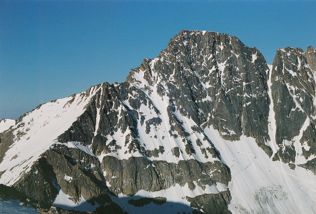
The Absaroka-Beartooth Wilderness Area is located in southern Montana and a small section stretching down into northern Wyoming. Combined back in 1978, the region protects over 937,000 acres of land between the two states. There are 119 named mountains in Absaroka-Beartooth Wilderness Area. The highest and the most prominent mountain is Granite Peak at 12,776 feet, the tallest peak in all of Montana. The wilderness is so expansive that it extends into three National Forests; Gallatin, Custer, and Shoshone.
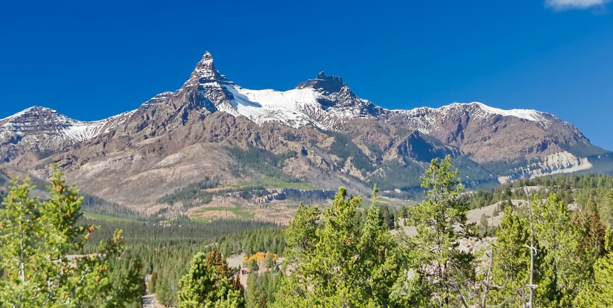
The region gets its name from the two mountain ranges within its protection; the Absaroka and the Beartooth Mountains. The two sets of mountains are quite distinct from one another in appearance. The Absaroka Mountains is characterized by its dark volcanic composite with rugged and craggy cliff faces. On the other hand, the Beartooth Mountains are characterized by their high alpine plateaus, with sparse amounts of trees in the higher elevations. The Beartooth Plateau is the largest uninterrupted section of land above 10,000 feet in the lower 48 states of the US.
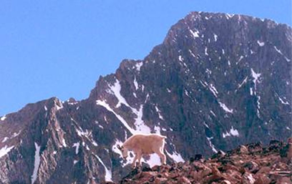
Wildlife is abundant in this protected region. Like much of the surrounding areas, the wilderness is home to grizzly bears, lynx, wolves, cougars, elk, bison, mountain goats, and Yellowstone cutthroat trout. Much of the wilderness is quite remote, with few forest roads leading to hikes within. Because of this, the region is also home to what is known as the “Beartooth Panic”. Many hikers are ill prepared for the remoteness of the region, and lack of cell service. This often leads to being disoriented, lost, and thinking that helicopters will come save them. The Absaroka-Beartooth Wilderness is indeed a wilderness area so hikers must always be prepared to handle the elements.
East Rosebud: This section of the wilderness comprises one of the most scenic valleys in the region. There are multiple hikes leading to lakes, waterfalls, and viewpoints of varying levels of difficulty. The valley is surrounded by the rugged mountains and full of lakes and waterfalls. In fact, there are so many lakes and waterfalls that some are still yet to be named. East Rosebud valley is home to Slough Lake, and the Phantom Creek Trail that leads to the summit of Granite Peak
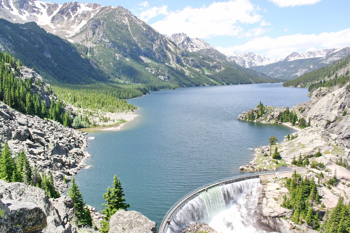
Mystic Lake: This scenic lake is the deepest within all of the Beartooth Mountains. The route is 5.5 miles round trip with 1,345 feet of elevation gain. The lake is also home to the largest stretch of sandy beach on a lake within the wilderness, making it the perfect spot to stop and take a break. The lake also features a dam and is located within the Custer National Forest.
Granite Peak Trail: As the highest peak in the Beartooth Mountains, and the entire state of Montana, reaching the summit of Granite Peak is no easy feat. The route is often completed over the course of two days. The trail totals 19.5 miles with 7,240 feet of elevation gain. The final stretch to the summit does require scrambling and some hikers choose to wear harnesses for extra safety. Once at the summit, hikers have panoramic views of the Beartooth Plateau, alpine lakes, along with Montana and Wyoming stretching in the distance.

Beartooth Lakes Loop: This scenic and iconic high is 7.8 miles with just over 1,000 feet of elevation gain. The trail is a perfect way to experience the diverse landscape of the Beartooth Mountains. Hikers pass through wildflower meadows, pass six separate alpine lakes along the Beartooth Plateau, all with the rugged mountains painting a backdrop across the land. A moderate hike, that showcases some of the best features within the range.
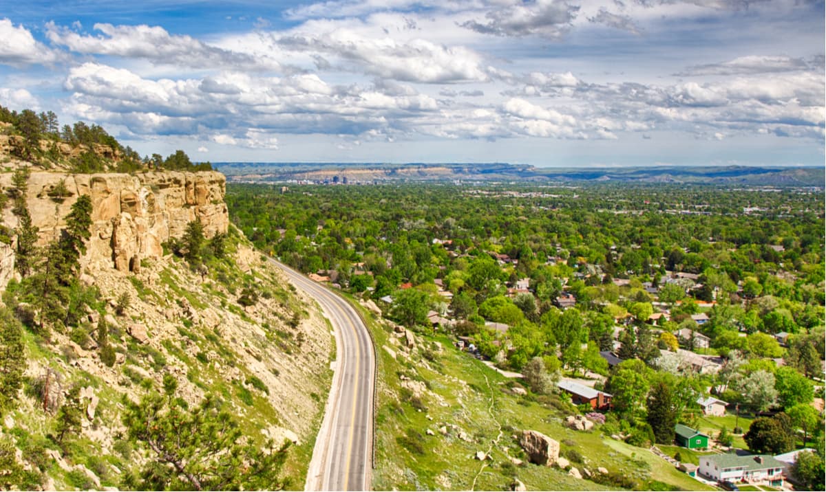
Billings is the largest city in the state of Montana and lies just 1.5 hours northeast of the Beartooth Mountains. The population is approximately 110,000. The city is nicknamed the “Magic City” due to the rapid growth it received as a railroad after being established in 1882. Billings is often a popular place to stay as it has more hotels than within a five-state region. The city has an extensive trail network within the metro area while the surrounding lands are great for hiking, rock climbing, skiing, mountaineering, and biking. The city was named one of the 50 most bike friendly cities in America.
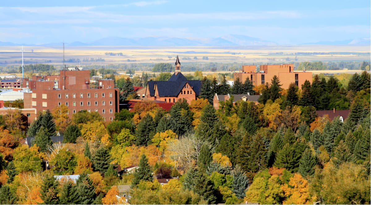
The city of Bozeman is one of the largest in the state of Montana. The population is estimated to be about 50,000 as the city saw a lot of growth over the past decade. The city is home to Montana State University and was named after John M. Bozeman who in 1864 established both the town and the Bozeman Trail. At an elevation of 4,820 feet the city experiences warm summers and snowy cold winters. Weather can change drastically from day to day. Bozeman is surrounded by mountains, making it a popular destination for outdoor adventure.


_3D_version_1.jpg)