Scan the QR code and open PeakVisor on your phone
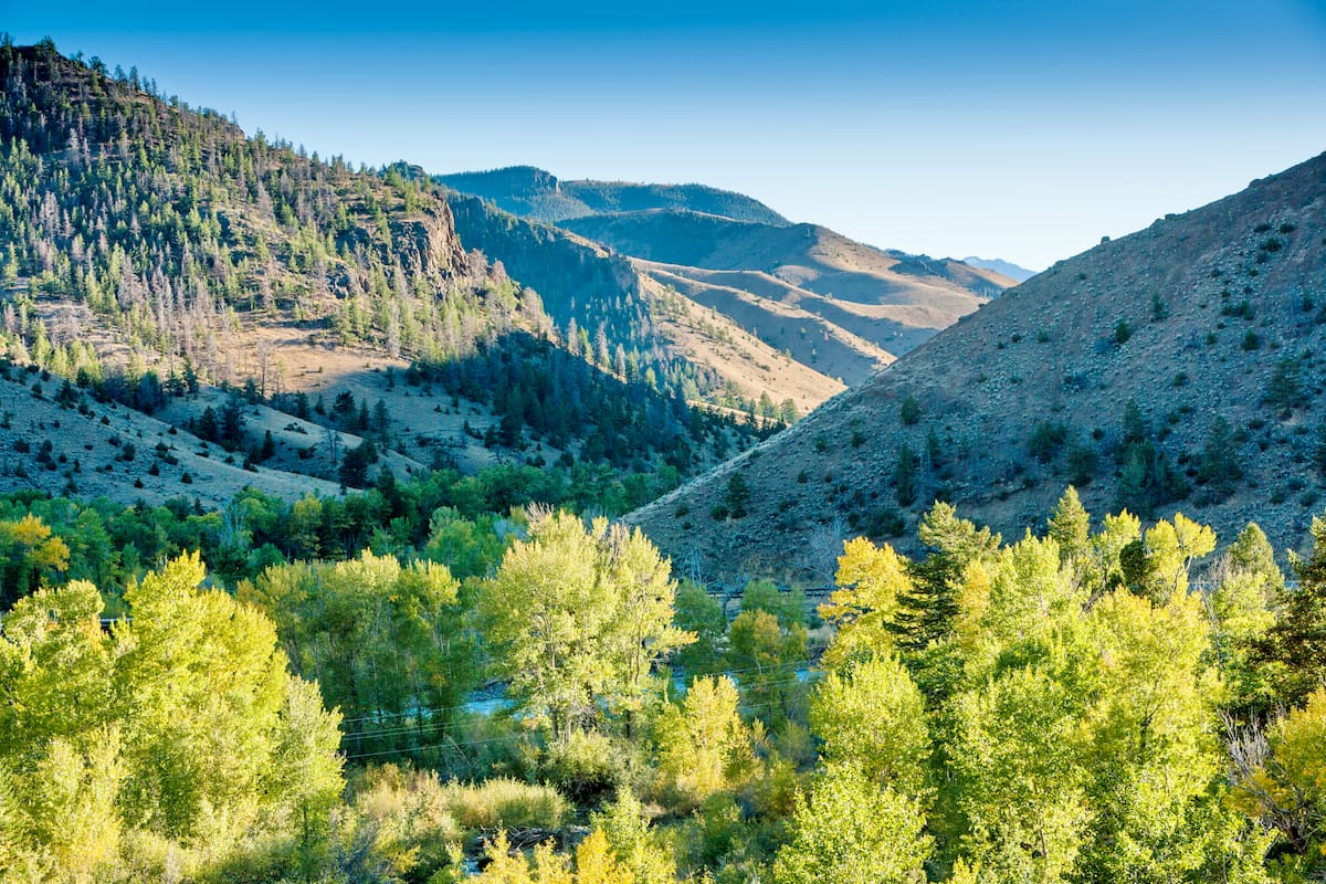
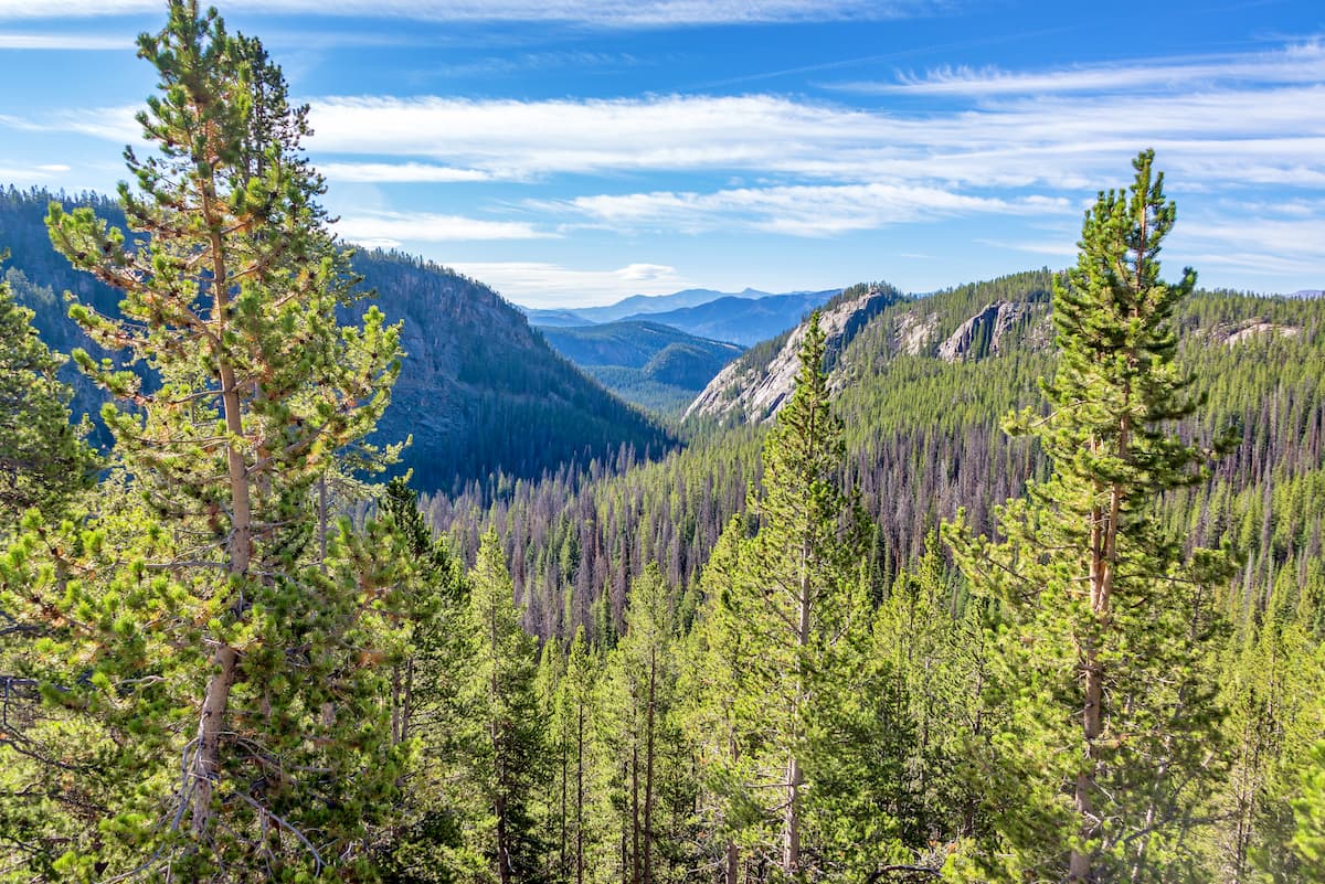
The United States’ oldest national forest, the Shoshone National Forest is a veritable treasure trove of outdoor adventure in the heart of the state of Wyoming. Featuring jagged peaks, sprawling alpine meadows, and plentiful hiking opportunities, there are 95 named mountains in the forest, the highest and most prominent of which is Francs Peak (12,933ft/3,942m).
Encompassing an area of some 2.5 million acres (1 million hectares), the Shoshone National Forest covers a large swath of the northwestern part of the US state of Wyoming. It is split up into 2 non-contiguous sections which include parts of Teton, Sublette, Park, Fremont, and Hot Springs counties, stretching from the state’s border with Montana all the way south to the city of Lander.
The forest is located in a highly mountainous region of the state which includes a massive complex of major areas of public land that covers much of western Wyoming, southern Montana, and eastern Idaho.
Shoshone National Forest is separated from the Bighorn National Forest by the Bighorn Basin and it is located to the west of the Wind River Indian Reservation.
It is located almost entirely to the east of the Continental Divide and it shares a border with the Bridger-Teton National Forest to the west that follows the crest of the divide for much of its extent.
Also located to the west of Shoshone National Forest are highly popular outdoor recreation areas including Yellowstone National Park, Grand Teton National Park, Caribou-Targhee National Forest, the Teton Wilderness, the Gros Ventre Wilderness, the Bridger Wilderness, and the Jedediah Smith Wilderness.
Meanwhile, the forest is located to the south of the Custer-Gallatin National Forest and the Absaroka-Beartooth Wilderness. Although the Absaroka-Beartooth Wilderness crosses ever so slightly into the Shoshone National Forest’s northern boundary, it is mostly located in Montana’s Custer-Gallatin National Forest.
Finally, the region to the south and southeast of the Shoshone National Forest is fairly low-lying, especially with respect to the highly mountainous terrain to the north and west. The rolling terrain of southeastern Wyoming separates the Shoshone National Forest from some of the state’s other major protected areas, including the Ashley National Forest and Uinta-Wasatch-Cache National Forest to the south and the Medicine Bow National Forest/Routt National Forest to the southeast.
Within the Shoshone National Forest there are also 4 primary wilderness areas:
In fact, these 4 wilderness areas comprise over half of the forest’s total land, so much of the Shoshone National Forest is only accessible by foot or on horseback.
The mountains in the Shoshone National Forest are part of 3 major ranges: the Absaroka Range, the Beartooth Mountains, and the Wind River Range. All of these ranges are themselves subranges of the Greater Yellowstone Rocky Mountains, which cover much of Wyoming as well as parts of Montana, Idaho, Colorado, and Utah.
Moreover, the forest is surrounded by an amalgamation of other mountain ranges, including the Teton Range, the Gallatin Range, and the Gros Ventre Range to the west.
That being said, each of the three mountain ranges within the forest are distinct and each range has its own unique geologic history.
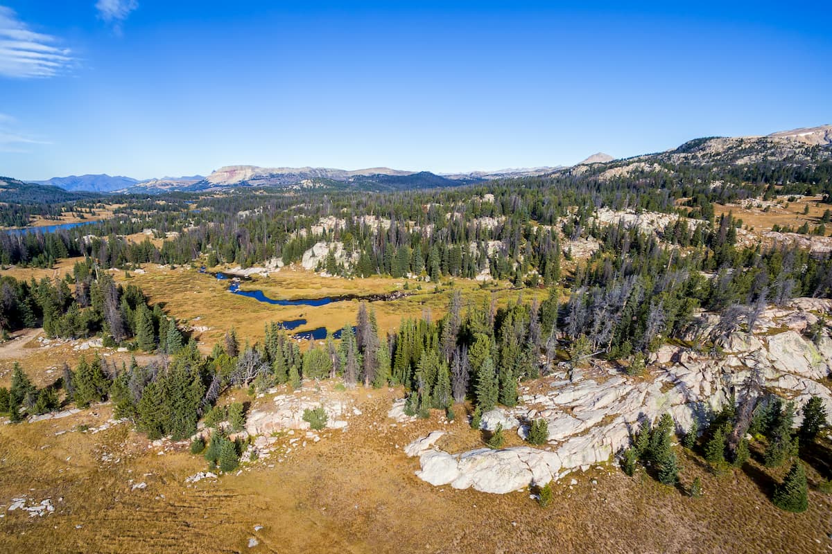
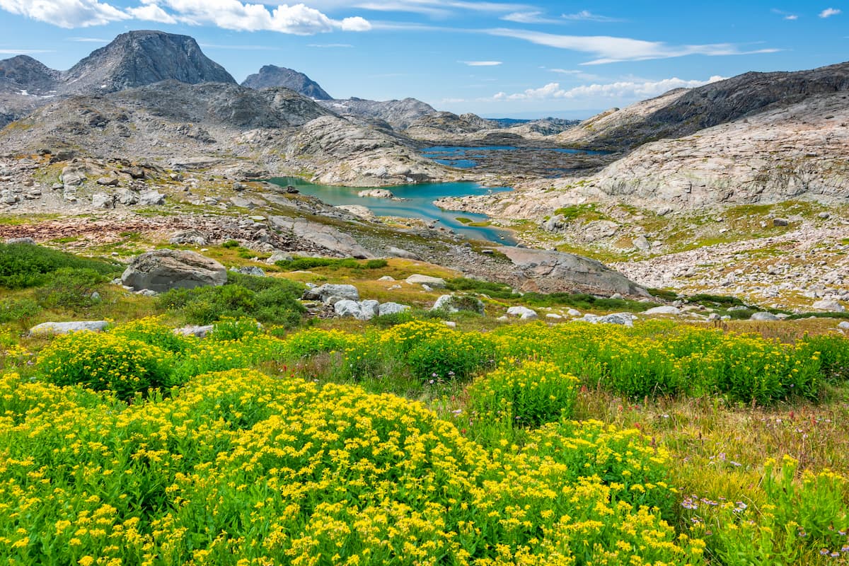
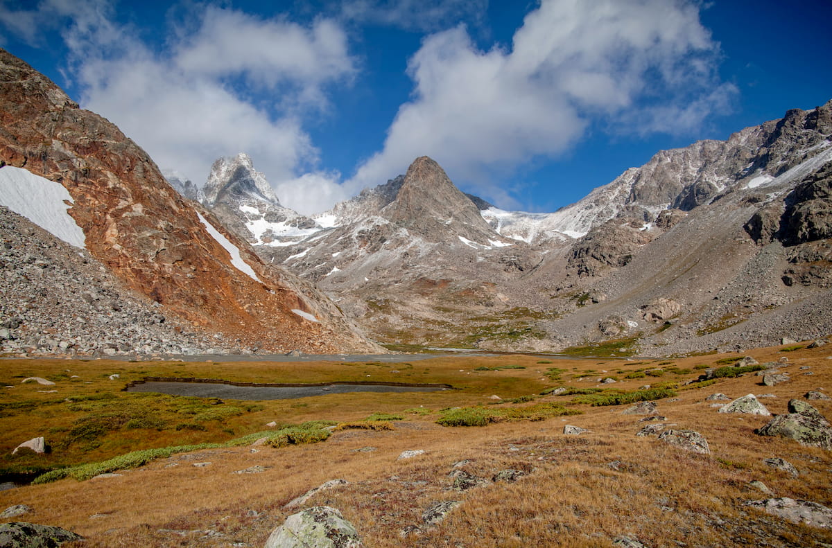
The Wind River Range is located in the southern part of the Shoshone National Forest and it is primarily made up of a large granitic batholith which formed far below the surface of the Earth over 1 billion years ago. During the Laramide orogeny, the region experienced widespread uplift and plenty of erosion, which brought this granitic batholith up to the surface of the Earth.
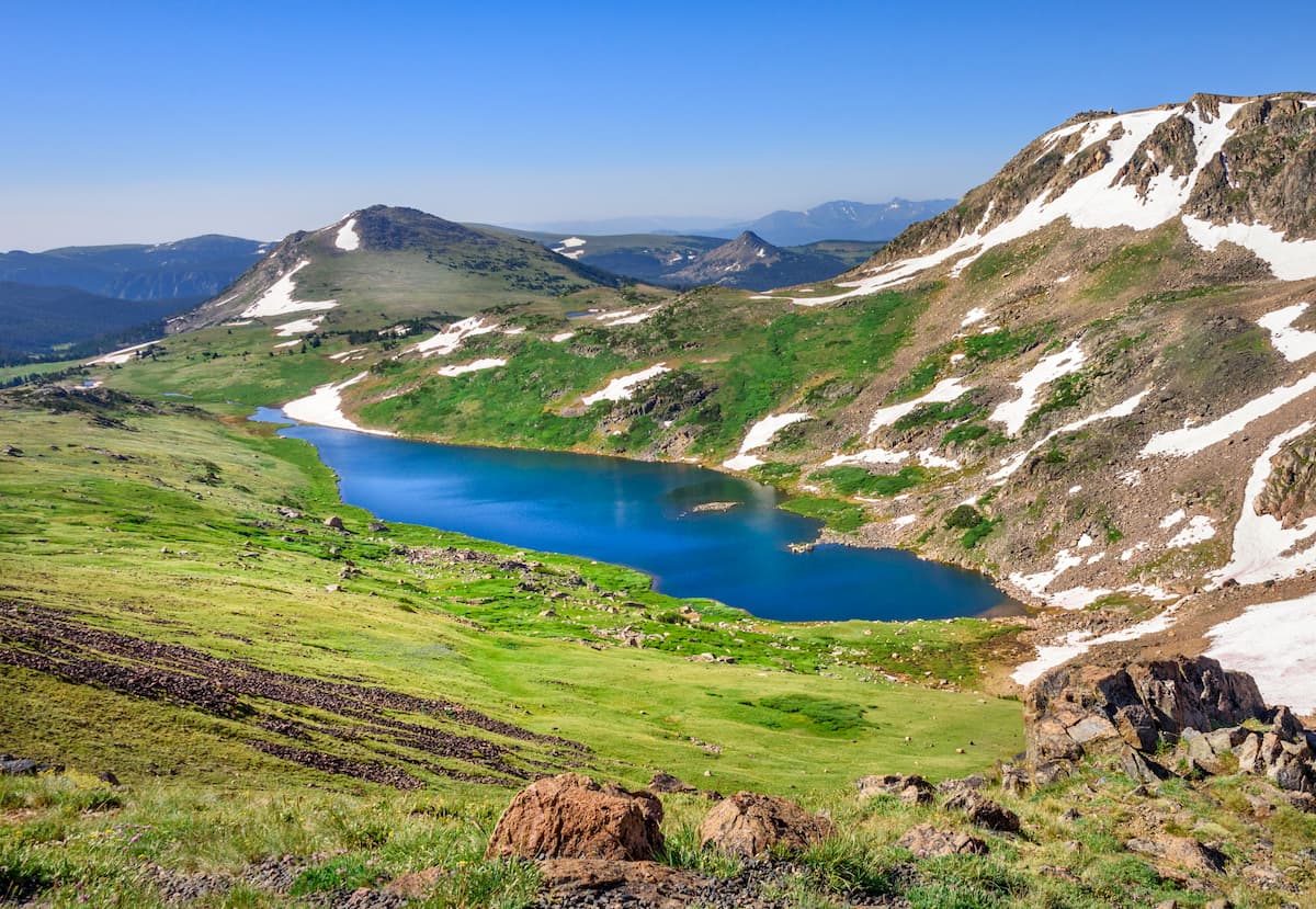
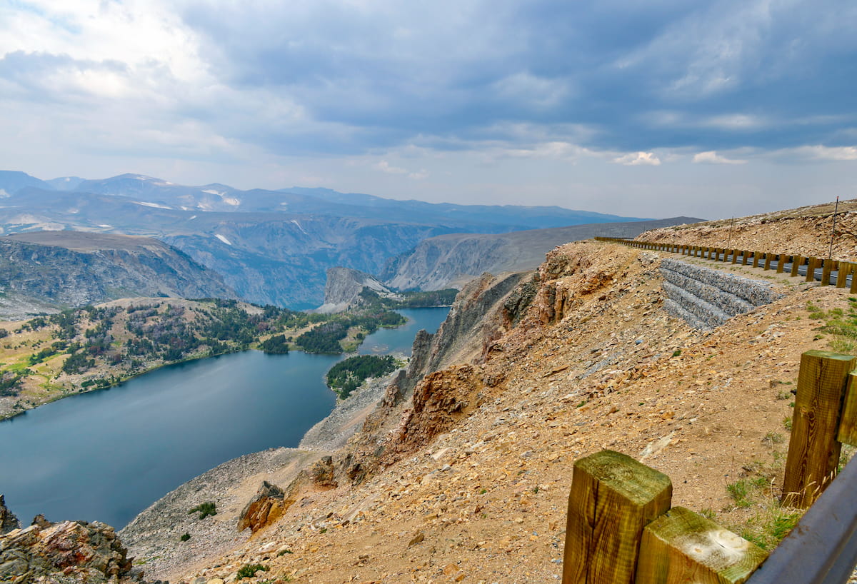
Millions of years later, during the Pleistocene, the Wind River Range was heavily glaciated. Although a handful of glaciers still exist in the range today, the evidence of these glaciers is much more easily spotted in the region’s massive cirques and valleys, the most notable of which is the Cirque of the Towers, which includes both Pingora Peak and Wolfs Head.
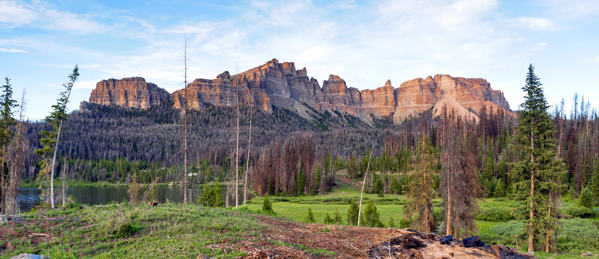
The Absaroka Range encompasses much of the northern part of Shoshone National Forest, except for the small region which is part of the Beartooth Mountains. This range is actually the remnants of a massive volcanic field that was last active during the Middle Eocene, some 53 to 43 million years ago.
Within the Absarokas, the rocks are predominately part of the Absaroka Volcanic Supergroup, which is a collection of igneous and volcaniclastic rocks (sedimentary rocks that contain igneous material).
In fact, geologists long thought that the Absaroka Range’s rocks were just a subsection of the Yellowstone volcanic province but the 2 rock types are actually more than 50 million years apart in age.
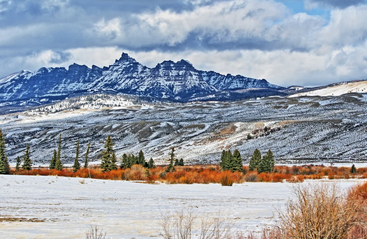
The tallest mountain in the range, Francs Peak, is located within Shoshone National Forest. Other major peaks in this part of the forest include Trout Peak, Pilot Peak, Indian Peak, and Cathedral Peak.
For the most part, the Beartooth Mountains are located in Montana, though a small section of the range is located within the Shoshone National Forest.
The rocks in the Beartooth Mountains are very old, and much of the range dates back to the Precambrian. Many of the oldest rocks in the range were metamorphosed some 3 to 2.5 billion years ago into the genesis that we see in the Beartooth Mountains today.
More recently in the later parts of the Precambian, the range experienced a number of igneous intrusions about 2.8 billion years ago, creating the Stillwater Complex, which is rich in valuable minerals such as gold, silver, chromium, iron, platinum, and palladium.
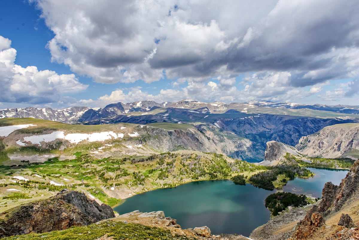
The mountains in the Beartooths mostly started to form during the Laramide orogeny some 65 to 57 million years ago. Like its neighboring ranges, the Beartooths were also heavily glaciated during the Pleistocene, which eroded the landscape into the stunning landforms that we can see when we venture into the mountains today.
Shoshone National Forest is part of the incredibly biodiverse Greater Yellowstone Ecosystem, which covers some 22 million acres (8.9 million hectares) of land in Idaho, Wyoming, and Montana.
The region is known for its diversity of flora and fauna, though the specific plant communities that you’ll encounter in the forest depend greatly on your elevation.
At the lowest elevations, the Shoshone National Forest is mostly sagebrush and grasslands. However, the mid-elevations up to about 9,000 feet (2,700m) are a mix of lodgepole pine, quaking aspen, and Rocky Mountain Juniper. From 9,000 feet (2,700m) up to the timberline, the Shoshone National Forest boasts woodlands of Engelmann spruce, subalpine fir, limber pine, and whitebark pine.
In fact, the whitebark pine is a species of particular concern both within the Shoshone National Forest and throughout its natural range, which includes parts of California, Oregon, Washington, Nevada, British Columbia, Alberta, Montana, Idaho, and Wyoming. It is classified as endangered due to disturbances in the region’s natural fire regimes as well as outbreaks of white pine blister rust and mountain pine beetles. Moreover, the massive decline in whitebark pine numbers in recent years is a serious concern for the region’s ecosystems.
That’s because the whitebark pine is a vital food source for the Clark’s nutcracker (Nucifraga columbiana), which also helps to distribute the tree’s seeds around its natural range. Interestingly, each Clark’s nutcracker is known to cache up to 100,000 whitebark pine seeds each year for future use, though many of these caches go uneaten and help contribute to the forest’s regrowth.
In addition to a diversity of plant species, Shoshone National Forest is home to a fantastic array of wildlife.
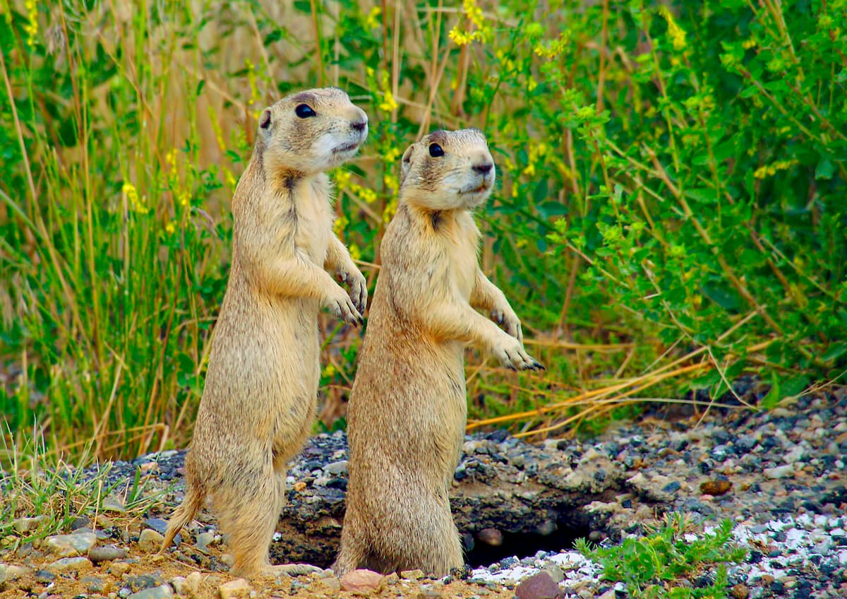
Mammal species in the forest include grizzly bears, black bears, mountain lions, bobcats, gray wolves, bighorn sheep, mountain goats, coyotes, pikas, martens, marmots, mule deer, elk, and moose.
There are also hundreds of bird species in Shoshone National Forest, such as Clark’s nutcrackers, bald eagles, northern goshawks, Sawinson’s hawks, prairie falcons, and western grebes.
Moreover, the Shoshone National Forest is particularly well known for its fly fishing opportunities. The forest contains sizable socks of brook trout, brown trout, rainbow trout, and even the Yellowstone cutthroat trout, though the latter is almost exclusively found within the forest’s boundaries in the Shoshone River.
The area that is now the Shoshone National Forest has a long history of human inhabitation that dates back more than 10,000 years. Indeed, the Shoshone National Forest is located on the traditional territory of a number of tribes and nations, including the Eastern Shoshone Tribe, the Northern Arapaho Tribe, the Crow Tribe (Apsáalooke), and the Northern Cheyenne Tribe, among others.
Some of the earliest known Europeans and Americans of European descent to visit the region were fur trappers and traders, including John Colter and Jim Bridger.
Colter was actually a member of the Lewis and Clark Expedition, though, instead of returning eastward at the end of the expedition, he decided to stay and continue travelling around the region. He actually managed to travel quite extensively through the Absaroka Range and he even made it as far as Jackson Hole by crossing over Togwotee Pass (a pass on the Continental Divide in the Absarokas).
Some decades later, Jim Bridger visited the area in search of furs as many of the other popular fur trapping regions had long been over-trapped.
In the 1860s, the Raynolds Expedition traveled through what would later become Shoshone National Forest in a federally-financed attempt to survey and map much of the region, particularly around Yellowstone.
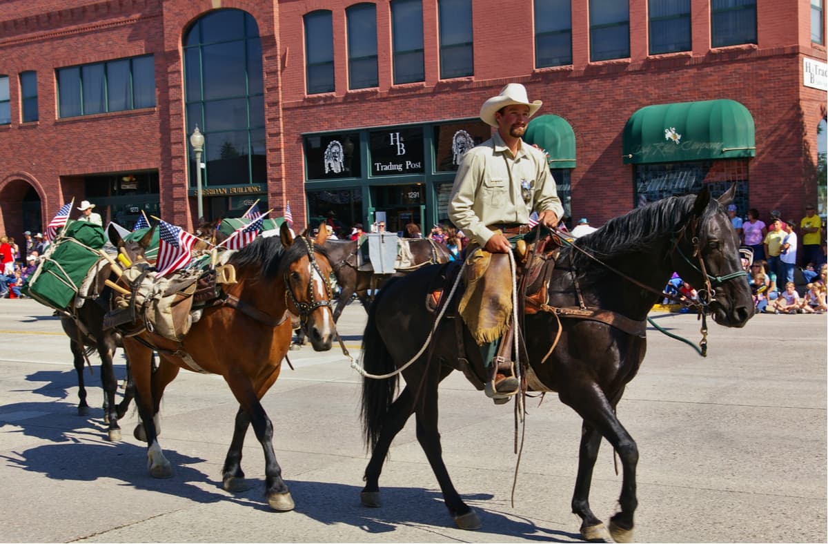
During the 1880s, then-future President Theodore Roosevelt also visited the area and eventually helped encourage congress to designate the forest as the Yellowstone Timberland Reserve in 1891. This makes the Shoshone National Forest the oldest national forest in the country, just barely beating out White River, Santa Fe, Pike, Mount Hood, and Angeles National Forests by a matter of months.
As president, Roosevelt lobbied for the expansion of the forest reserve and eventually helped split it up into 4 units, 1 of which (the largest) became the Shoshone National Forest. The forest was officially designated as a national forest when the US Forest Service was created in 1905.
History buffs that want to learn more about the early days of the Shoshone National Forest and the US Forest Service can go visit the Wapiti Ranger Station near Cody, Wyoming, which is the oldest surviving US Forest Service ranger station. The station has been in continuous use since it was constructed in 1903 and it is a National Historic Landmark.
Both the North Absaroka Wilderness and the Washakie Wilderness were officially designated in 1964 after the passage of the 1964 Wilderness ACt. Meanwhile, the Fitzpatrick Wilderness was designated in 1976 and the Popo Agie Wilderness was designated in 1984 as part of the Wyoming Wilderness Act.
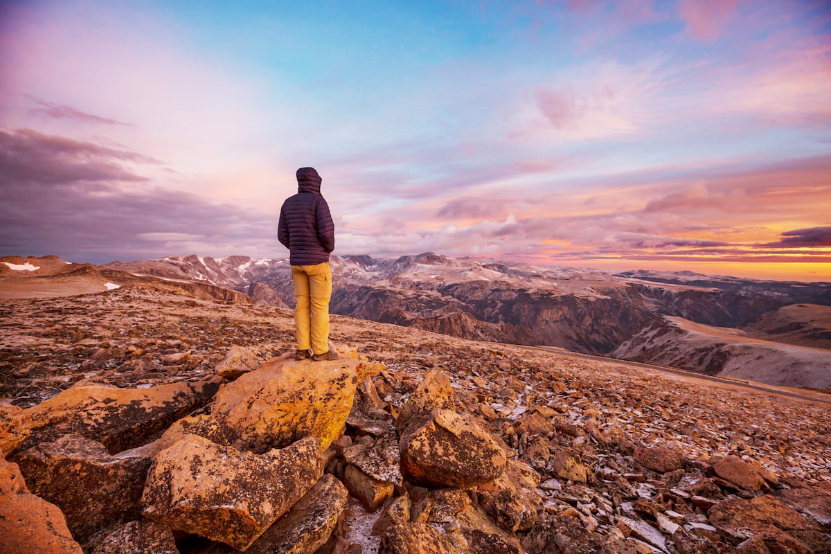
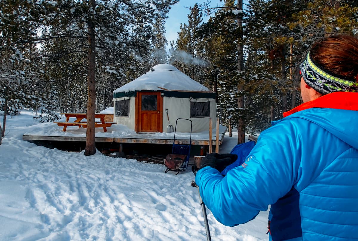
These days, the Shoshone National Forest remains a very popular outdoor recreation destination. However, due to the sheer size of the forest and the ruggedness of the terrain, it is possible to find solitude in Shoshone National Forest, especially if you’re willing to head off trail.
Shoshone National Forest is a must-visit destination for anyone looking to experience the beauty of Wyoming’s Rocky Mountains. Here are some of the best places to check out in the forest.
Located in the northernmost section of the Shoshone National Forest near Yellowstone National Park, the North Absaroka Wilderness is a particularly rugged part of the Absaroka Range. There are 37 named mountains in the forest, the highest and most prominent of which is Trout Peak.
The wilderness contains around 200 miles (320km) of trails, most of which are rough and poorly marked. However, with solid backcountry navigation skills and a sense of adventure, there’s a lot to see and experience in the North Absaroka Wilderness.
Major peaks in this rugged region include Pilot Peak, Cathedral Peak, Black Mountain, Silvertip Peak, and Index Peak.
Named after the great Chief Washakie of the Shoshone Tribe, the Washakie Wilderness is a massive federally protected area in the central part of Shoshone National Forest. There are 60 named mountains in the wilderness, the highest of which is Mount Crosby and the most prominent of which is Fortress Mountain.
Within the wilderness there are a number of very steep valleys and large buttes. The wilderness is particularly well-known for its geological formations as well as its petrified forests.
For the most part, the peaks in the Washakie Wilderness are smaller than those in the Fitzpatrick and Popo Agie wilderness, though there are plenty of great adventures to be had in the region. Major peaks include Mount Crosby, Dome Mountain, Fortress Mountain, and Eagle Peak.
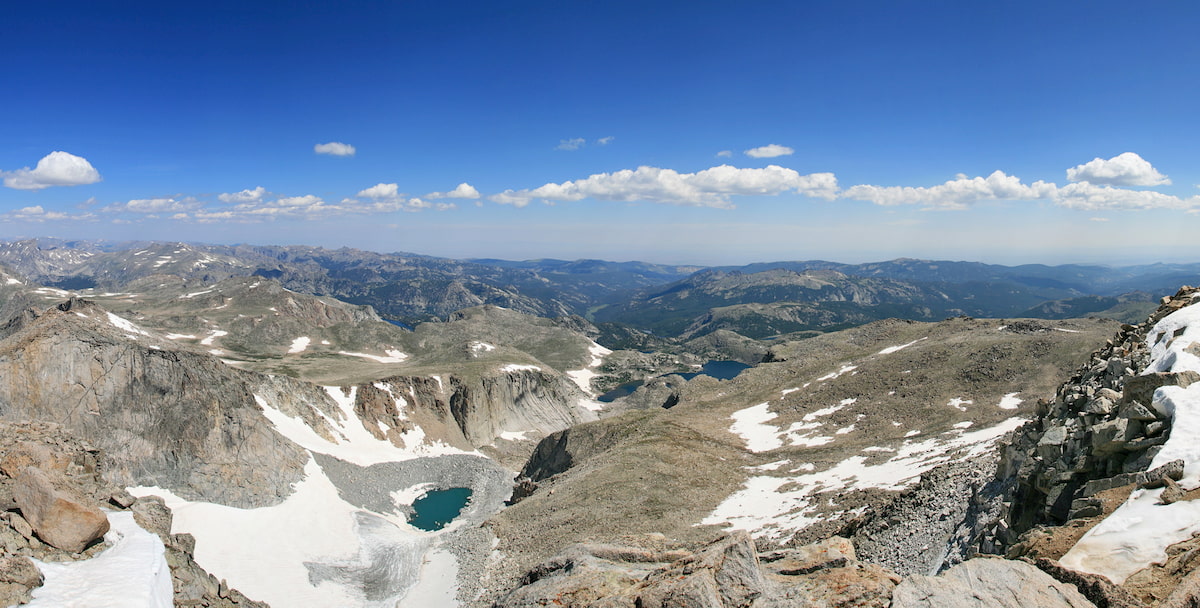
Situated in the south-central part of Shoshone National Forest, the Fitzpatrick Wilderness is a true hiking paradise. The wilderness contains 45 named mountains, the highest and most prominent of which is Gannett Peak, however Gannett’s summit is technically in the Bridger-Teton National Forest.
Within the Fitzpatrick Wilderness there are 44 active glaciers, 3 of which are located around Gannett Peak. Other major peaks in the wilderness include Fremont Peak, Turret Peak, Mount Sacagawea, Mount Helen, and The Fortress.
The Fitzpatrick Wilderness is home to some truly remote terrain so backcountry navigation skills are a must for any visitors. There are many trails that weave their way through the wilderness, including the Glacier Trail, which is the most popular approach route to Gannett Peak.
The Popo Agie Wilderness (pronounced puh-poe-zha or /poʊˈpoʊʒə/) is a large wilderness area located in the southernmost part of the Shoshone National Forest. It is located between the cities of Lander and Pinedale and it contains 34 named mountains, the highest and most prominent of which is Wind River Peak.
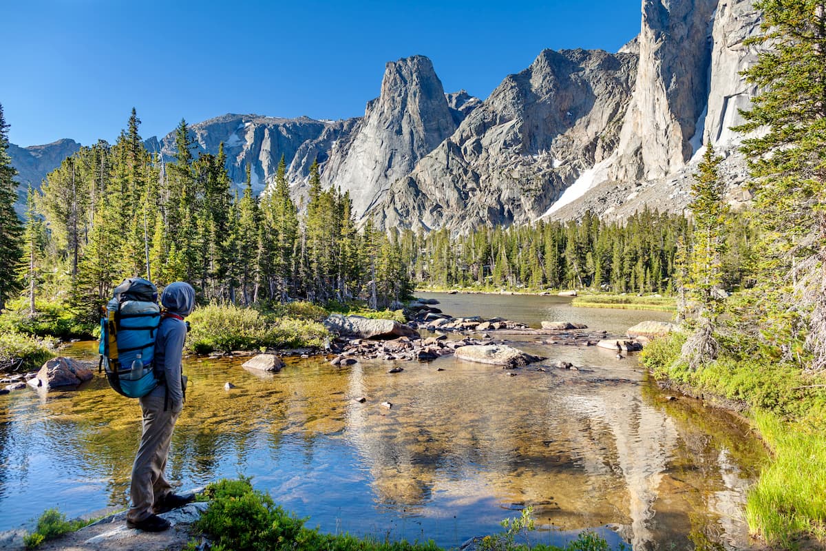
Known for its truly stunning craggy peaks, excellent backcountry rock climbing, and superb backpacking opportunities, the Popo Agie Wilderness is one of the most popular destinations in the southern region of the Shoshone National Forest.
The wilderness has an abundance of glistening lakes and is home to the headwaters of the North Fork of the Popo Agie, the Middle Fork Popo Agie, and the South Fork Little Wind River, all of which feed the mighty Wind River.
Perhaps the most popular destination in the Popo Agie Wilderness is the Cirque of the Towers, which is home to the beautiful Wolfs Head, Pingora Peak, Lizard Head Peak, and the Sharks Nose. One of the most common ways to reach the Cirque is via Jackass Pass from Big Sandy, though keep in mind that camping is not allowed within 0.25 miles (400m) of Lonesome Lake.
Other great adventure opportunities in the wilderness include summit attempts on Wind River Peak. The mountains in the Popo Agie Wilderness are truly breathtaking and include some out-of-this-world formations like Mount Hooker.
Here are some of the best places to stay before or after your trip to the Shoshone National Forest:
The city of Lander is home to some 7,500 residents and it is located just to the southeast of the Shoshone National Forest and to the south of the Wind River Indian Reservation. It is a major tourism center for the region, due to its proximity to the Popo Agie Wilderness, as well as to the climbing areas at Sinks Canyon State Park and Wild Iris.
Lander is also home to the headquarters of the National Outdoor Leadership School (NOLS) and it has some excellent outdoor gear stores, restaurants, and bars to check out. However, Lander is only accessible by road, though you can arrange for a shuttle service from the airports at Casper and Riverton to Lander via local bus lines.
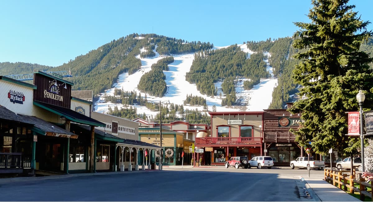
Jackson is a small city situated to the west of the Shoshone National Forest, just outside Grand Teton National Park. The city is home to about 10,000 residents and it is a world-famous outdoor recreation destination.
Jackson is also the location of the busiest airport in Wyoming, the Jackson Hole Airport, so it’s a good place to start your adventures if you’re coming from further afield.
Home to about 9,500 residents, the city of Cody, Wyoming is located just east of the northern section of Shoshone National Forest. It is a major commercial and cultural hub for the northern part of the state.
Cody’s major industry is tourism, thanks to its excellent outdoor recreation opportunities. It has some great whitewater kayaking, rafting, hiking, and climbing opportunities. The city also has a small airport (Yellowstone Regional), which offers regular flights to Salt Lake City and Denver.