
Scan the QR code and open PeakVisor on your phone
Uinta-Wasatch-Cache National Forest has 453 named peaks. The highest is Gilbert Peak at 4,100 m. Other notable peaks include Henrys Fork Peak, Mount Lovenia and Tokewanna Peak.
Home to some of the state's most iconic mountain ranges and some truly stunning landscapes, the Uinta-Wasatch-Cache National Forest is a large area of federally-managed land in the central, northern, and eastern portions of the US state of Utah and some small sections of the states of Idaho and Wyoming. The forest contains 353 named mountains, the highest of which is Gilbert Peak (13,451ft/4,100m), and the most prominent of which is Deseret Peak (11,030ft/3,362m).
The 15th largest national forest in the United States, the Uinta-Wasatch-Cache National Forest is a massive region of federally-managed land located in the central, northern, and eastern parts of Utah and the southern regions of both Wyoming and Idaho.
Uinta-Wasatch-Cache covers some 2.5 million acres (1 million ha) of land, which includes parts of Summit, Juab, Utah, Tooele, Wasatch, Salt Lake, Morgan, Cache, Weber, Box Elder, Rich, and Davis counties in Utah. It also includes parts of Bear Lake, Caribou, and Weber counties in Idaho as well as part of Uinta County in Wyoming.
The forest is located within the heart of the most mountainous section of Utah and it includes the vast majority of the mountains in and around the Wasatch Front. While most of the forest is situated around the Wasatch Front, the easternmost edge extends far to the eastern portion of the state where it is bordered by the Ashley National Forest to the east and south.
To the south and east of Uinta-Wasatch-Cache lies the Manti-La Sal National Forest and many of Utah's famed desert destinations, including Arches, Canyonlands, Zion, Bryce Canyon, and Capitol Reef National Parks, as well as Grand Staircase-Escalante and Bears Ears national monuments. Meanwhile, the westernmost part of the Uinta-Wasatch-Cache National Forest terminates just to the south of the Great Salt Lake.
Interestingly, while the vast majority of the forest includes peaks that are part of the Western Rocky Mountains, the westernmost part, including the Stansbury Mountains, is actually part of the Great Basin Ranges. In many ways, the forest marks a transition zone between the jagged peaks of the Rocky Mountains and the undulating range/basin topography of the Great Basin to the west.
The forest contains 7 ranger districts and 9 wilderness areas, including:
Due to the sheer size of the Uinta-Wasatch-Cache National Forest, describing its geology is a complex undertaking. Indeed, while the majority of the eastern and northern parts of the forest are part of the Western Rocky Mountains subrange, the westernmost extent of the forest is actually within the Great Basin Ranges.
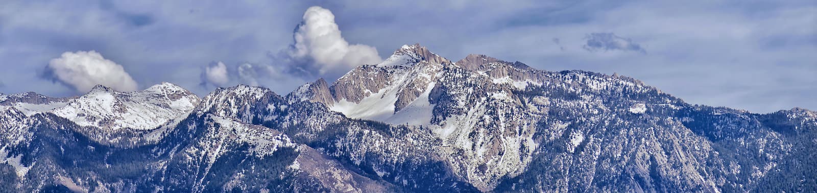
Within the forest, there are 2 primary mountain ranges, the Uinta Mountains and the Wasatch Range. Additionally, the westernmost edge of the forest includes the Stansbury Mountains, the West Tintic Mountains, and the Sheeprock Mountains.
The geology of the Uinta Mountains is particularly unique because it is one of the few major ranges in the United States that runs from east to west. The range's bedrock is mostly metasedimentary in origin and much of it was uplifted some 80 to 55 million years ago during the Laramide orogeny.
After this mountain building event, the Uintas underwent a long period of substantial erosion and subsequent folding and uplift. The range also happens to show evidence of extensive glaciation, carving out many of the valleys, cirques, and other features that you can see to this day.
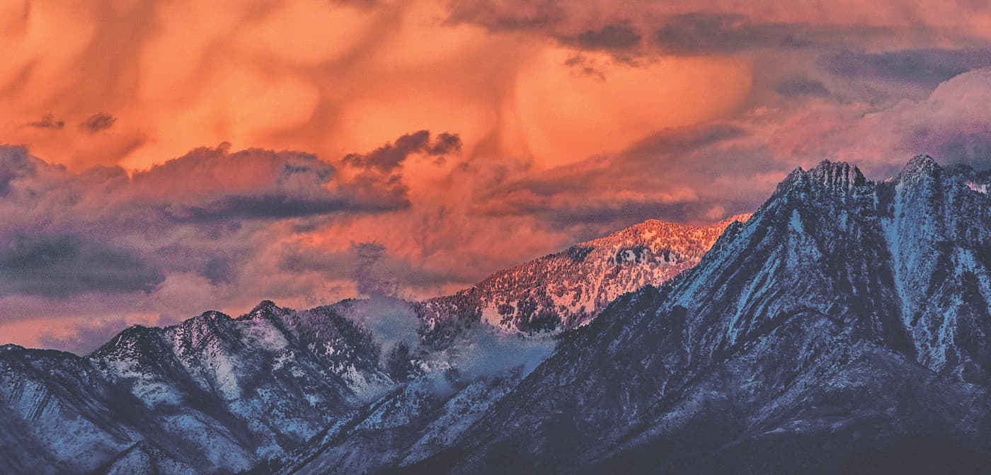
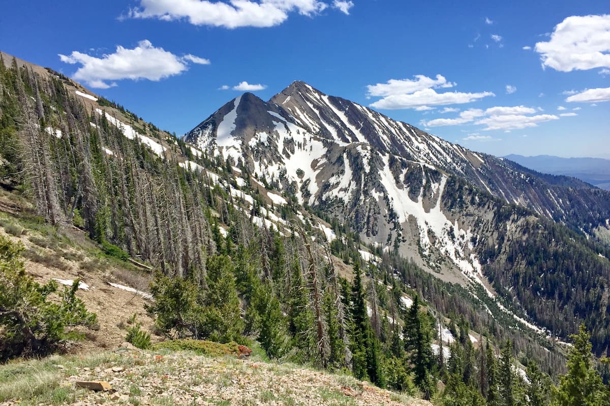
Moreover, the Uinta Mountains are home to some major summits, which include Mount Emmons, Gilbert Peak, Mount Powell, Mount Lovenia, Tokewanna Peak, Wilson Peak, Wasatch Mountain, and Kings Peak, the latter of which is the highest mountain in Utah.
The Wasatch Range is a massive chain of peaks that bisects the central part of the state of Utah from north to south. Interestingly, the range is actually what's called a normal fault and it is located along the boundary of the Rocky Mountains to the north and east and the Great Basin Ranges to the west.
Compared to the Uinta Mountains to the east, the Wasatch Range's peaks are relatively young. Indeed, the range as we know it today started to rise some 12 to 17 million years ago, which is a far cry from the period some 80 to 55 million years ago when the Uinta Mountains started to form. However, while the Uintas are home to mostly sedimentary and metasedimentary rocks, the Wasatch Range also contains the remnants of a large granitic intrusion that formed some 38 to 24 million years ago.
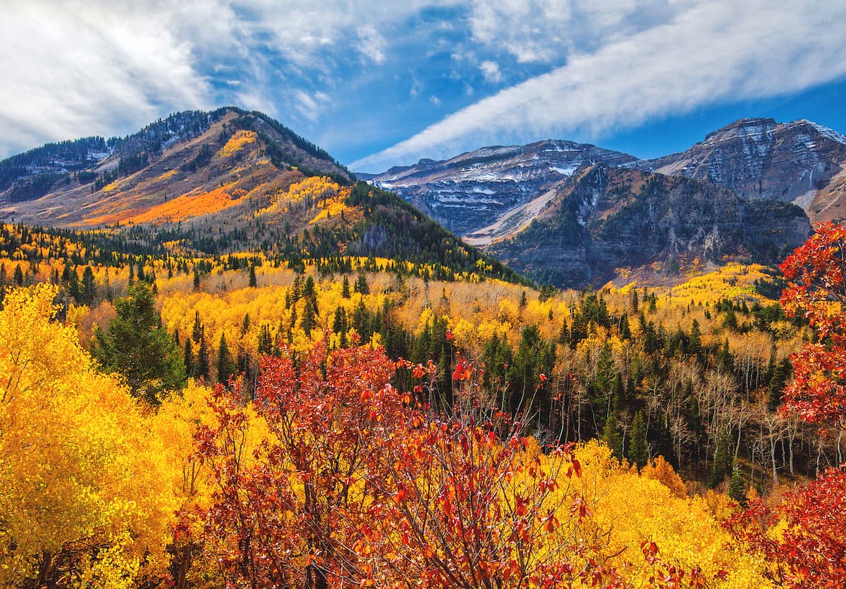
Major peaks in the Wasatch Range include Mount Nebo,Mount Timpanogos, Mount Ogden, Twin Peaks, Provo Peak, Box Elder Mountain, and Salt Creek Peak.
The Stansbury Mountains, Sheeprock Mountains, and West Tintic Mountains are situated in the far western part of the Uinta-Wasatch-Cache National Forest within the Great Basin Ranges. These ranges all share a similar geologic history, even if their specific rock composition varies.
As a whole, much of the Great Basin Ranges, including these 3 sub-ranges within the Uinta-Wasatch-Cache National Forest formed as a result of the Neogene period crustal expansion, which eventually led to the formation of the alternating range and valley topography that characterizes this area.
Major peaks within the Great Basin Ranges of the Uinta-Wasatch-Cache National Forest include Deseret Peak, Vickory Mountain, Black Crook Peak, Desert Mountain, Red Pine Mountain, Maple Peak, Sabie Mountain, and Sand Mountain.
The sheer size of the Uinta-Wasatch-Cache National Forest means that it is home to a wide diversity of ecosystems, however, the forest primarily lies within 2 primary ecoregions: the Wasatch and Uinta Montane Forests and the Central Basin and Range.
As the name suggests, the Wasatch and Uinta Montane Forests includes much of the land within the Wasatch Range and the Uinta Mountains.

It happens to be one of the driest parts of the Rocky Mountains, though the highest elevation areas are home to sizable stands of coniferous forests. These forests contain tree species such as subalpine fir, lodgepole pine, quaking aspen, Engelmann spruce, ponderosa pine, and Rocky Mountain Douglas fir.
Wildlife in the region is typical of this part of the Rocky Mountains and includes everything from badgers, weasels, and foxes to black bears, mountain lions, mule deer, bighorn sheep, mountain goats, moose, elk, and even the occasional grey wolf.
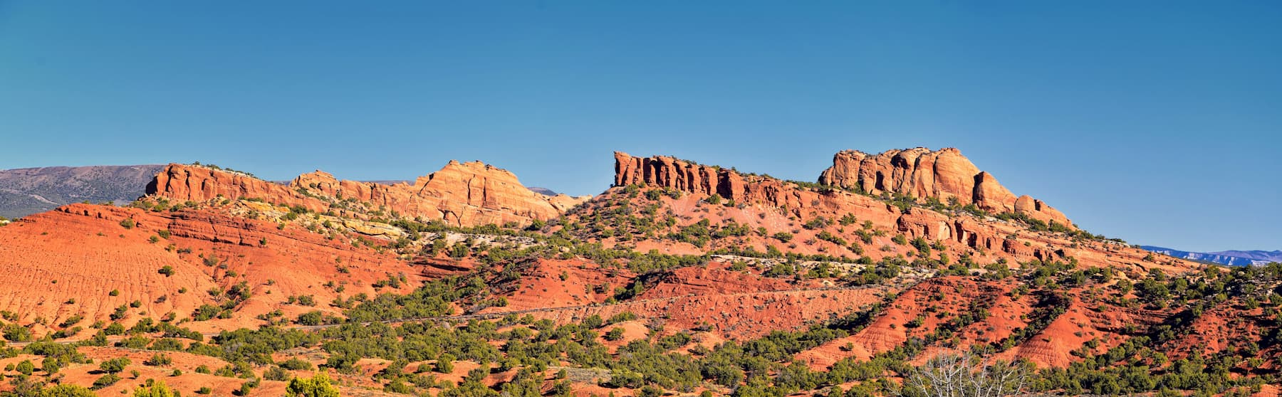
The Central Basin and Range ecoregion covers much of western Utah, central Nevada, and some small sections of eastern California. Unlike the deserts of the Southwest Basins and Ranges to the south, the Central Basin and Ranges are cooler, especially compared to the Sonoran Desert, however, the region is still hot and arid.
At the lowest elevations, this part of the forest is mostly shrublands, though mid and higher elevations are home to some juniper and pinyon pine woodlands, as well as some stands of limber pine. Wildlife also includes bighorn sheep, coyotes, elk, mule deer, pronghorn, jackrabbits, and mountain lions.
The region that's now known as the Uinta-Wasatch-Cache National Forest has a long and rich history of human inhabitation. Some of the earliest inhabitants of the region arrived more than 10,000 years ago, paving the way for the countless people who have followed.
Over the millenia, the region has been home to many groups, though some of the most prominent in the area before the arrival of settlers of European descent include the Eastern Shoshone, the Shoshone, Bannock, the Goshute, and the Ute.
Some of the first Europeans to visit the region that would later become the Uinta-Wasatch-Cache National Forest were members of the Domínguez-Escalante expedition which traveled throughout the southwestern part of what is now the United States in the late 1700s.
During the 1800s, fur trappers invariably traveled into the forest's mountain ranges, though perhaps the most prominent was William Henry Ashley, who ventured into the Uinta Mountains in the 1820s.
The first people of European descent to permanently settle in the region were Mormon immigrants who arrived during the mid-1800s. These immigrants mostly settled along what is now called the Wasatch Front, but some ventured further south into the more arid parts of the state, particularly around Zion National Park.
Mining interests and prospectors helped spur the early economy of the region in the 1890s after prospectors found sizable deposits of valuable zinc, lead, and silver in the Wasatch Front.
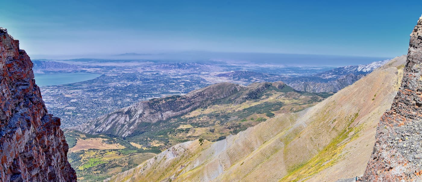
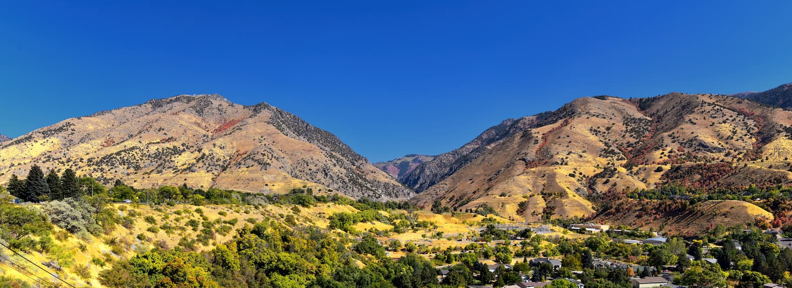
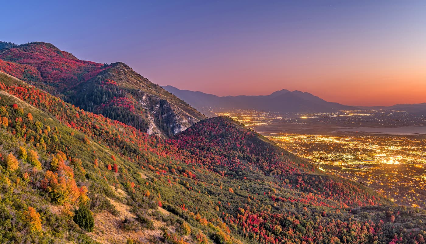
Over the years, the region has actually become the most heavily populated in all of Utah. These days, the land around the western part of the Uinta-Wasatch-Cache National Forest is actually home to about 80% of the entire population of Utah, most of whom reside in Salt Lake City, Provo, Ogden, Layton, and other nearby cities.
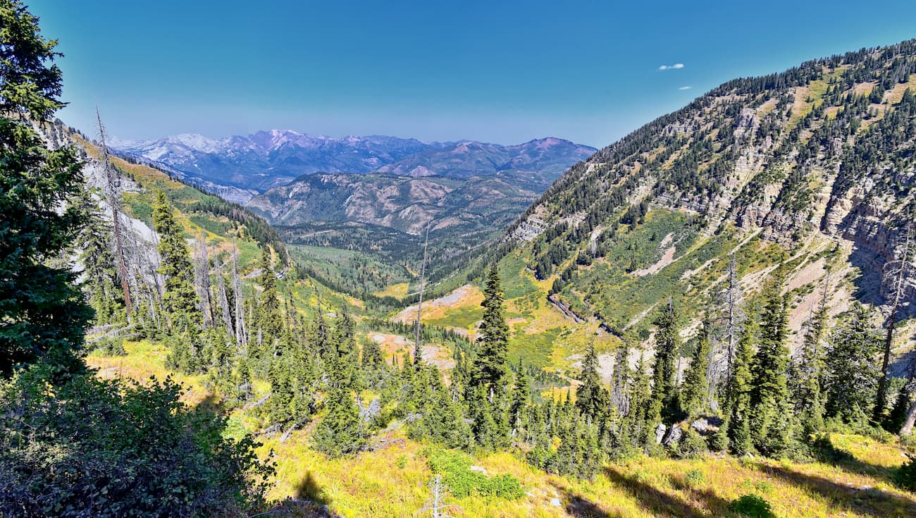
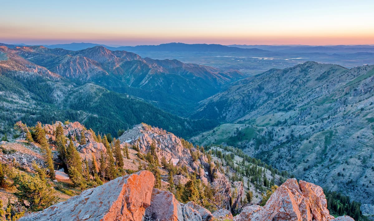
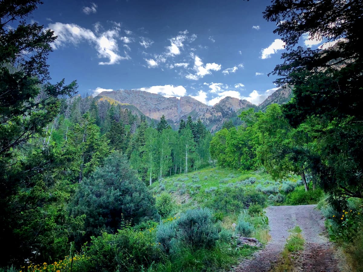
Moreover, the Uinta-Wasatch-Cache National Forest and, in particular, the Wasatch Range, are home to some of the most popular outdoor recreation destinations in the northern parts of Utah. The region has multiple major ski resorts and hundreds of miles of hiking and mountain biking trails, as well as some world-class climbing and mountaineering opportunities.
There are hundreds of miles of hiking trails in the Uinta-Wasatch-Cache National Forest for visitors to enjoy. Here are some of the best places to check out if you're in the area.
The Mount Naomi Wilderness is located in the northernmost part of the Uinta-Wasatch-Cache National Forest along Utah's border with Idaho. Within the wilderness, there are 7 named mountains, the highest and most prominent of which is Naomi Peak.
This part of the national forest is rugged and heavily forested. It is situated around Naomi Peak to the northeast of Logan, which makes for an excellent hiking destination. In addition to summit attempts of Naomi Peak, popular hiking destinations include White Pine Lake and Tony Grove Lake.
Encompassing a small spur of the national forest that extends from Brigham City to the west of Logan, the Wellsville Mountain Wilderness is a popular destination for local residents. The wilderness contains 9 named mountains, the highest and most prominent of which is Box Elder Peak.
Although the mountains in the Wellsville Mountain Wilderness are not particularly tall, they are known for being quite steep. The hiking in the region is rugged, yet beautiful and there is a small system of about 17 miles (27.4km) of trails for visitors to enjoy.
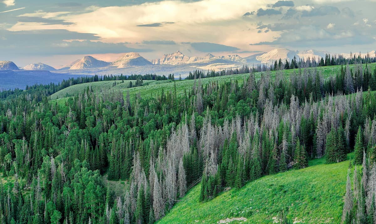
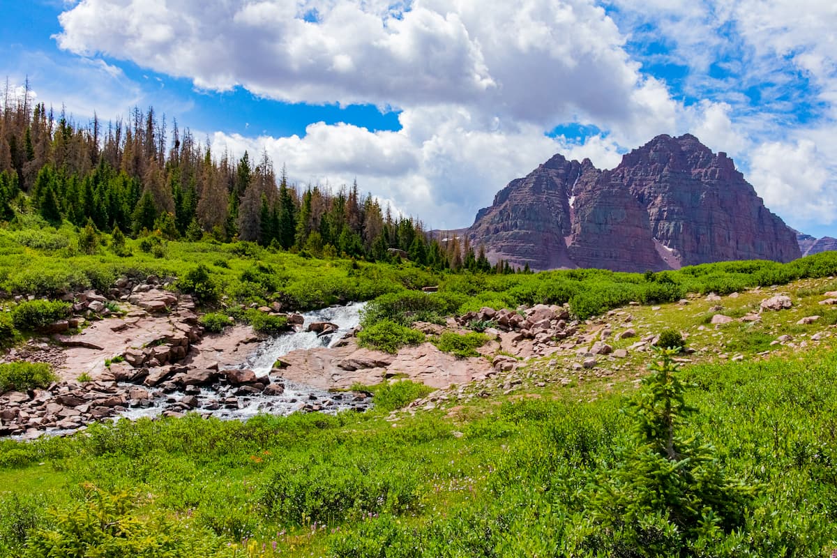
The High Uintas Wilderness includes much of the eastern part of the Uinta-Wasatch-Cache National Forest. It is home to 34 named mountains, the highest of which is Kings Peak, the state high point.
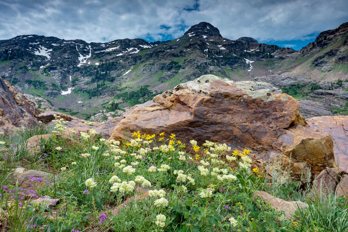
This wilderness area is split between the Ashley and Uinta-Wasatch-Cache National Forests and it is home to some of the highest elevation terrain in the state. For excellent views, alpine lakes, and beautiful wildflowers, the High Uintas are hard to beat.
Nestled in the heart of the Wasatch Range, just to the east of Salt Lake City, the Mount Olympus Wilderness is a fan-favorite destination. The wilderness contains 7 named mountains, the highest and most prominent of which is Gobblers Knob.
Within the Mount Olympus Wilderness, there are plenty of hiking trails to enjoy. High peaks, such as Mount Olympus, Gobblers Knob, and Mount Raymond all make for excellent day trips from the Salt Lake City area.
Home to the westernmost peaks in the Uinta-Wasatch-Cache National Forest, the Deseret Peak Wilderness is situated just south of the Great Salt Lake. The wilderness contains 16 named mountains, the highest and most prominent of which is Deseret Peak.
Visitors to the Deseret Peak wilderness can enjoy a mix of ecosystems, including rolling alpine, rocky ridges, sagebrush slopes, and fir forests. Hiking to the summit of Desert Peak is a particularly popular option as it offers panoramic views of the region.
Located just northeast of Provo, the Lone Peak Wilderness is a small federally protected area that's known for its drastic mountain scenery. Lone Peak Wilderness was the first designated wilderness in the state of Utah and it is home to 13 named mountains, the highest of which is Pfeifferhorn Peak and the most prominent of which is Box Elder Peak.
The Lone Peak Wilderness is a geologists paradise, as the rocky outcroppings and escarpments in the area are truly second to none. Lone Peak is especially stunning and the trails in the region are quite popular amongst residents of the Wasatch Front.
The Twin Peaks Wilderness is located to the east of Cottonwood Heights and to the west of Alta in the heart of the Wasatch Range. There are 7 named mountains in the wilderness, the highest and most prominent of which is Twin Peaks.
Within the wilderness, visitors can check out the region's rugged topography and narrow canyons. It is among the most heavily used wilderness areas in the region, particularly around Lake Blanche, which is a go-to destination on hot summer weekends.
Situated just to the north of Nephi in the southern part of the Uinta-Wasatch-Cache National Forest, the Mount Nebo Wilderness is a fun place to check out if you're looking to get away from the hustle and the bustle of the Salt Lake City area. The wilderness has 3 named mountains, the highest and most prominent of which is Mount Nebo.
In the Mount Nebo Wilderness, visitors can enjoy a scenic drive up the Nebo Loop, which is a National Scenic Byway. The fall foliage in this region is especially fantastic and a stop at the Devil's Kitchen Geologic Interest Site is a must for anyone looking to make the most of their visit to central Utah.
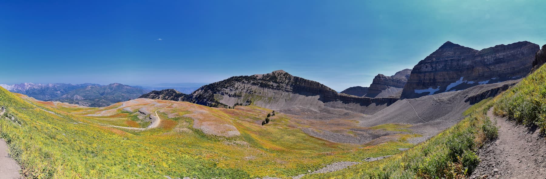
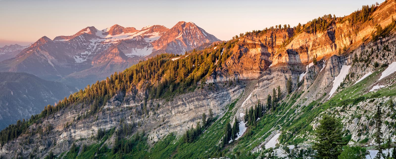
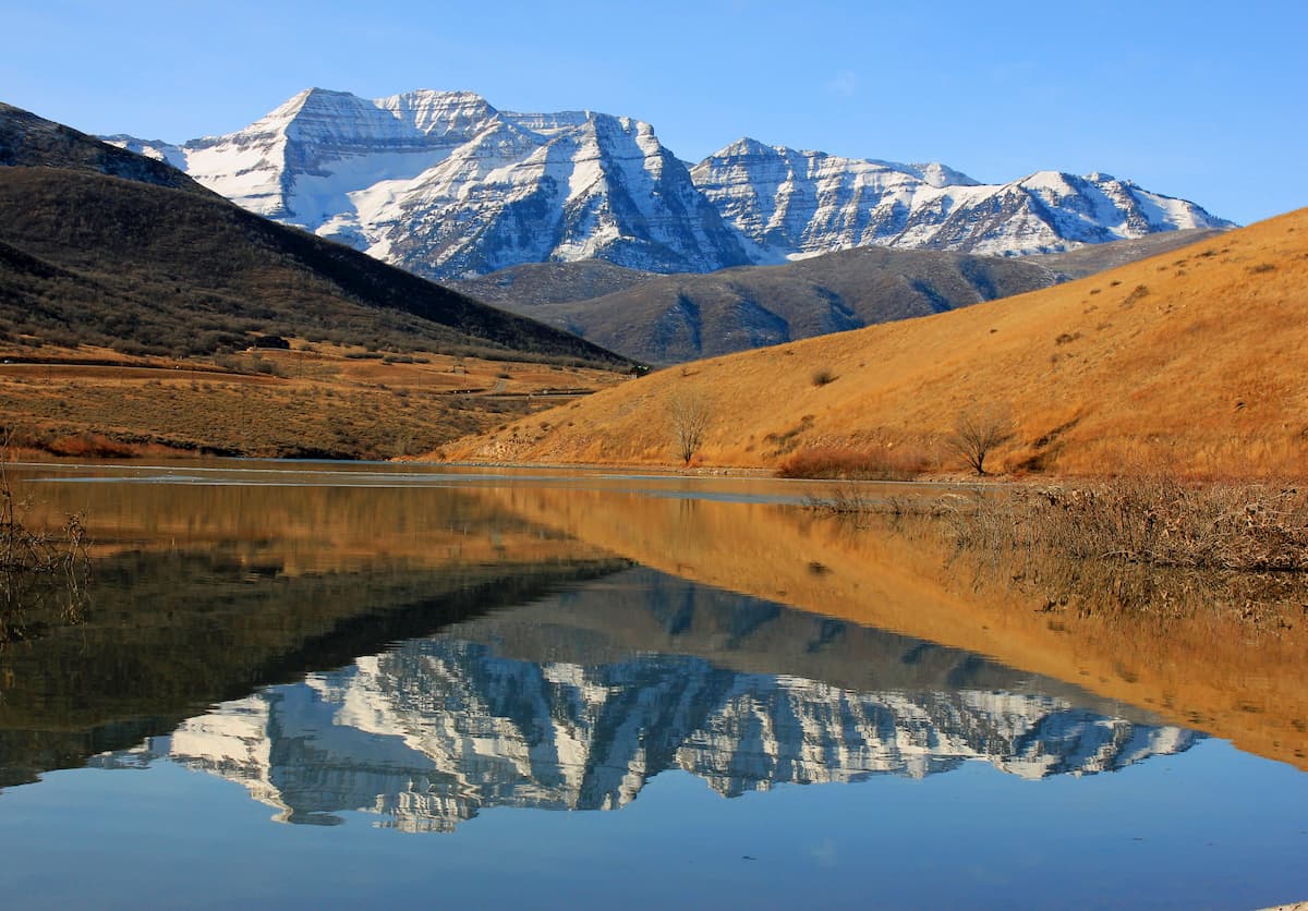
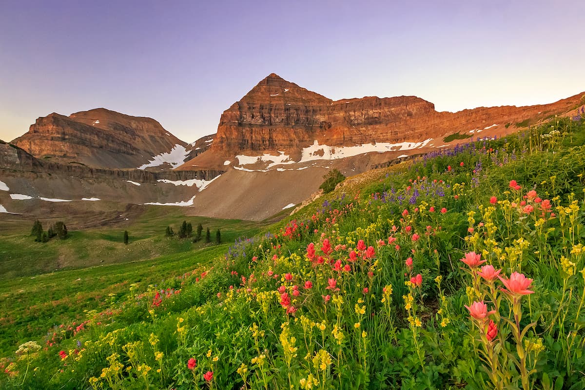
Home to the second highest peak in the Wasatch Range, the Mount Timpanogos Wilderness is home to some of the most dramatic mountain scenery in the area. It contains 10 named mountains, the highest and most prominent of which is Mount Timpanogos.
The focal point of this aptly named wilderness is, of course, Mount Timpanogos, which is among the most prominent peaks in the United States. It rises high above the cities of Lehi, Provo, and Orem below, and it is known to get some especially deep snowfall in the winter months. During the summer, hiking in the wilderness is very popular, especially up to the summit of Mount Timpanogos.
The Uinta-Wasatch-Cache National Forest is highly accessible, thanks to its proximity to some of Utah's largest cities. Here are some of the best places to check out if you're in the area.
Salt Lake City is the capital and largest city in the state of Utah with a total population of about 200,000 people. The city is perfectly located for trips into the Uinta-Wasatch-Cache National Forest, which runs along its eastern flank.

It has the largest airport in the state, as well as great road connections on both I-80 and I-15.
Provo is Utah's third-largest city, with some 116,000 residents. The city is located near the southern part of the forest and it is the site of the main campus of Brigham Young University (BYU).
Provo is just a short drive from Salt Lake City on I-15. It has a busy municipal airport with flights to major cities around the western US as well as regular Amtrak and Greyhound bus service to surrounding cities.
Located to the east of the Uinta-Wasatch-Cache National Forest, the city of Vernal is a great place to start your adventures into the Uinta Mountains portion of the forest. The city has a population of about 10,000 people and it is a well-known destination for outdoor adventure.
Vernal is accessible by road on US Route 40 and 191, or by air from its municipal airport which has service to Denver.


The highest peak in Uinta-Wasatch-Cache National Forest is Gilbert Peak, at 4,100 m.
Notable peaks in Uinta-Wasatch-Cache National Forest include Gilbert Peak, Henrys Fork Peak, Mount Lovenia, Tokewanna Peak and Mount Powell.


