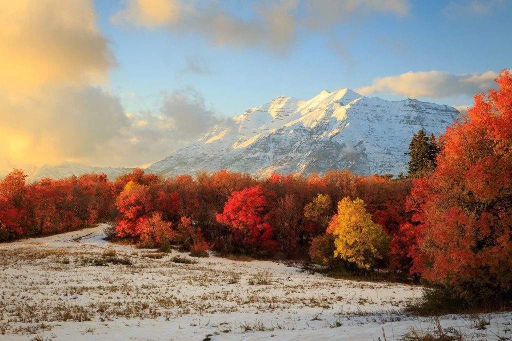
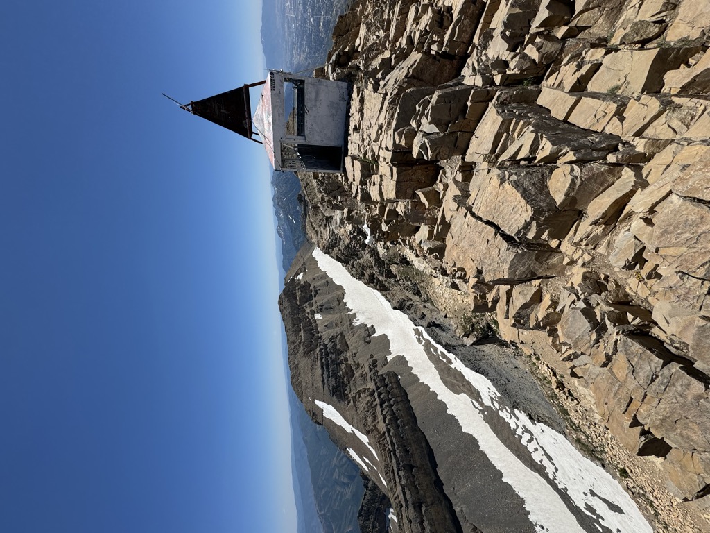
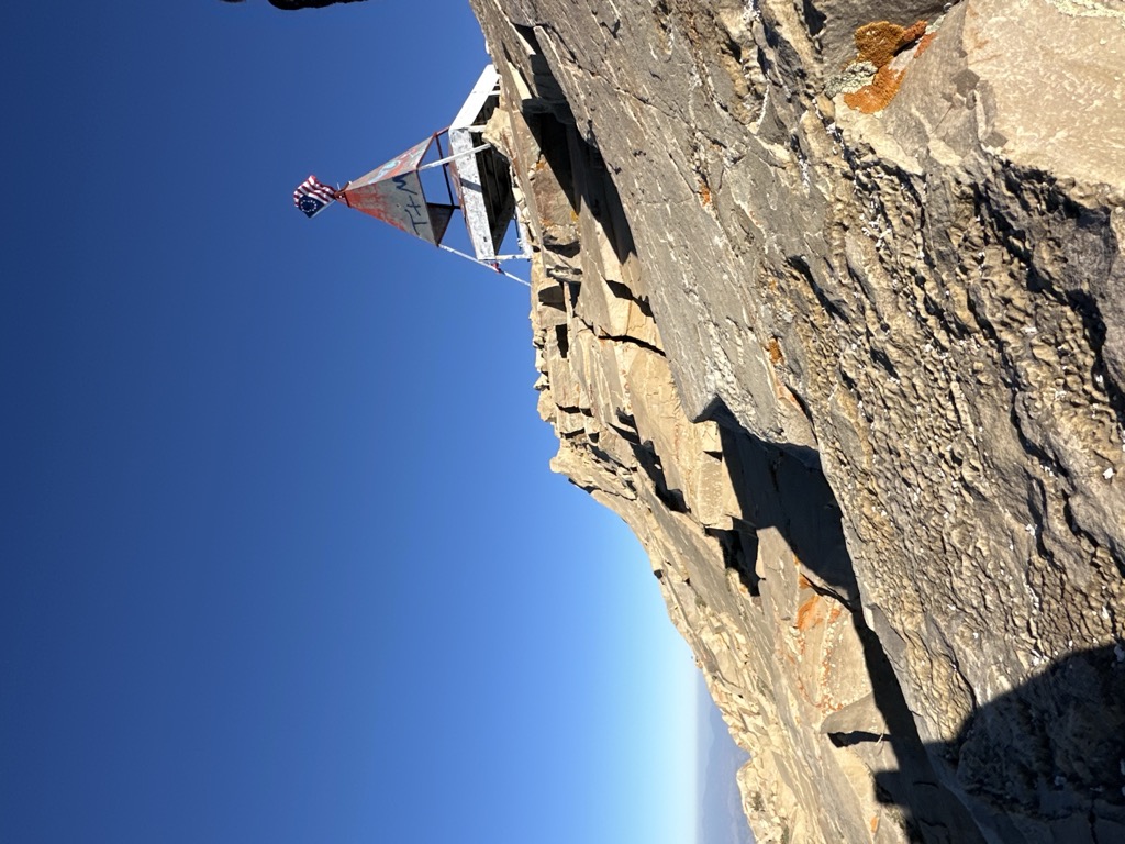
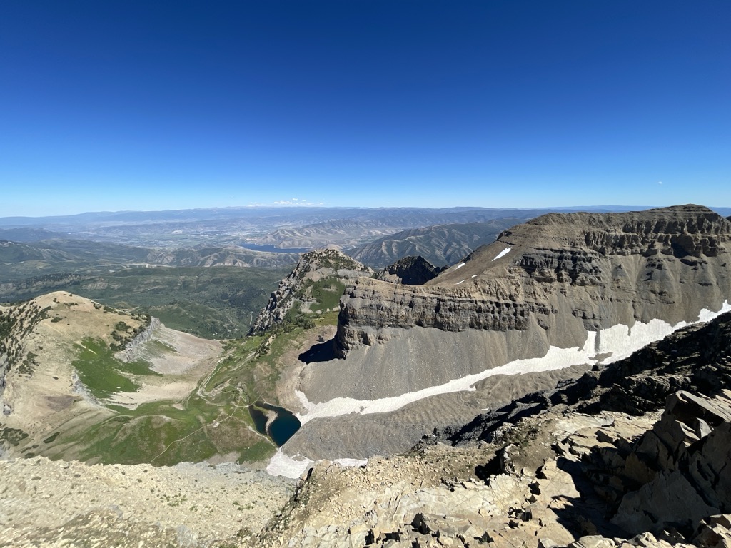
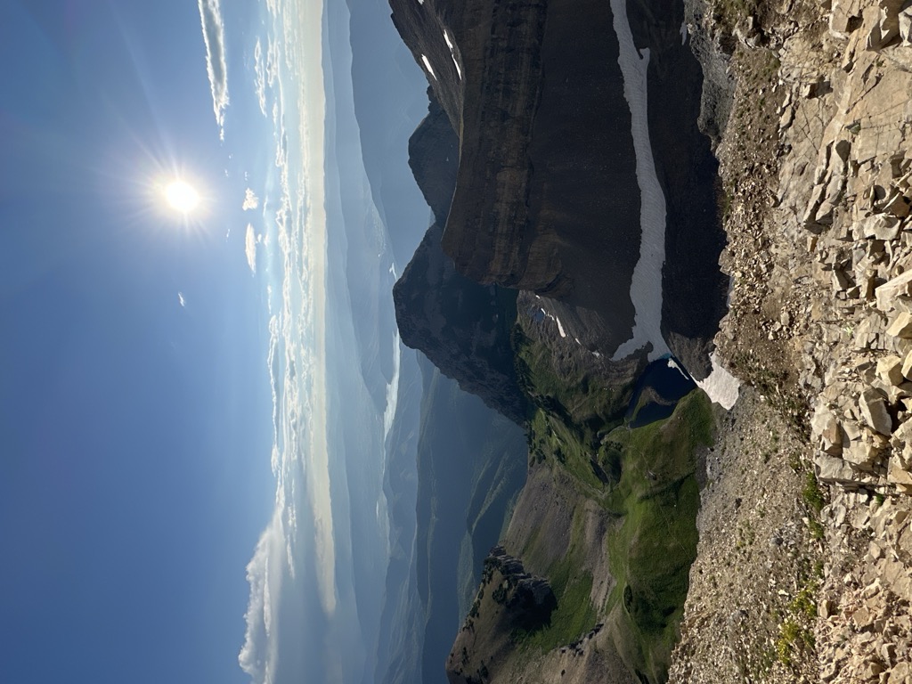
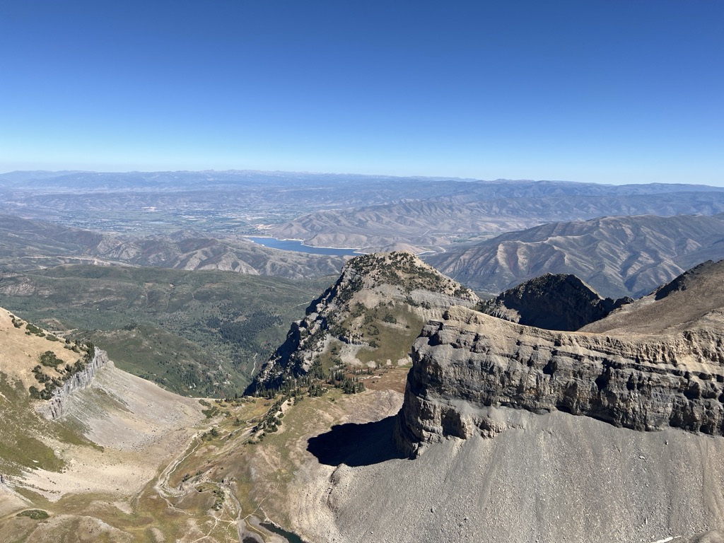
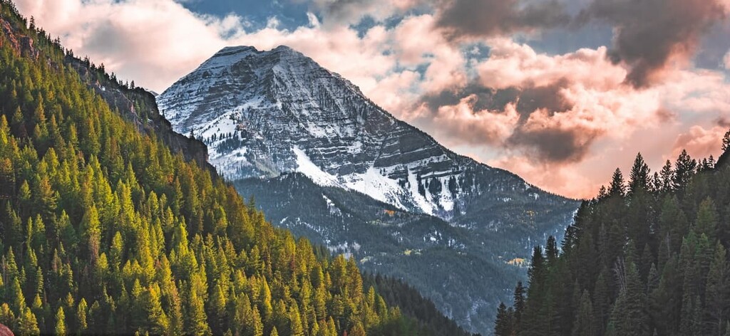
Mount Timpanogos, often referred to as Timp, is the second-highest mountain in Utah's Wasatch Range. Timpanogos rises to an elevation of 11,752 ft (3,582 m) above sea level in the Uinta-Wasatch-Cache National Forest. With 5,270 ft (1,610 m) of topographic prominence, Timpanogos is the 47th-most prominent mountain in the contiguous United States.
The mountain towers about 7,000 ft (2,100 m) over Utah Valley, including the cities of Lehi, Provo, Orem, Pleasant Grove, American Fork, Lindon and others. The exposed massif of the mountain is made up entirely of limestone and dolomite from the Pennsylvanian period, and is about 300 million years old. Heavy winter snowfall is characteristic of this portion of the Wasatch Range, and avalanche activity is common in winter and spring. The mountain is also home to Timpanogos Cave National Monument, a series of decorated caves in the north end of the mountain that have guided ranger tours open daily to the public during the warmer months.
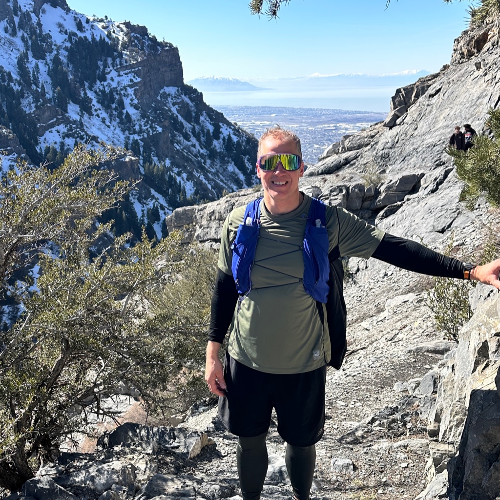
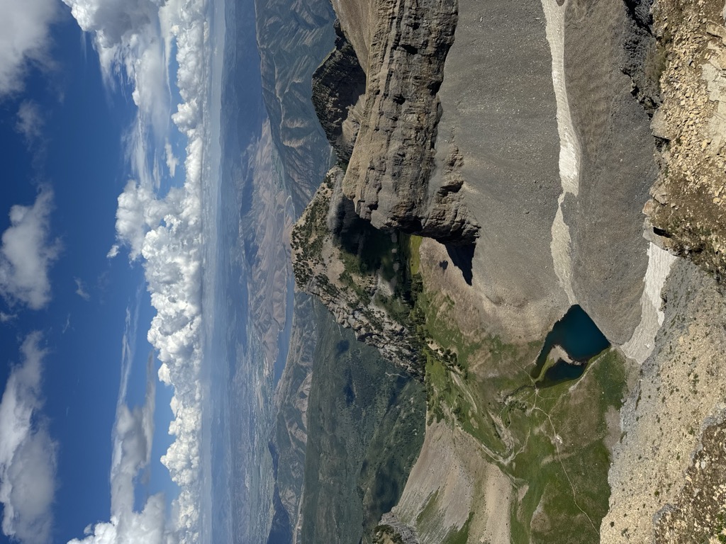
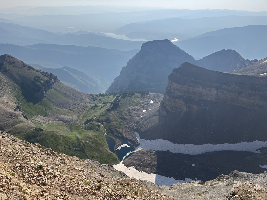
There's a trail leading to the summit.
By elevation Mount Timpanogos is
# 37 out of 1339 in the Western Rocky Mountains # 2 out of 614 in the Wasatch Range # 60 out of 3409 in Utah # 2 out of 205 in Utah County # 27 out of 419 in Uinta-Wasatch-Cache National Forest # 1 out of 10 in Mount Timpanogos Wilderness Area
By prominence Mount Timpanogos is
# 3 out of 1339 in the Western Rocky Mountains # 2 out of 614 in the Wasatch Range # 7 out of 3409 in Utah # 3 out of 205 in Utah County # 3 out of 419 in Uinta-Wasatch-Cache National Forest # 1 out of 10 in Mount Timpanogos Wilderness Area
We use GPS information embedded into the photo when it is available.
3D mountains overlay
Adjust mountain panorama to perfectly match your photos because recorded by camera photo position might be imprecise.
Move tool
Rotate tool
Zoom
More customization
Choose which peak labels should make into the final photo and what photo title should be.
Next
Photo Location
Satellitte
Flat map
Relief map
Latitude
Longitude
Altitude
OR
Latitude
°'''
Longitude
°'''
Apply
Register Peak
Peak Name
Latitude
Longitude
Altitude
Register
Teleport
PeakVisor
This 3D model of Sagarmatha National Park in Nepal was made using the PeakVisor app topographic data. The mobile app features higher precision models worldwide, more topographic details, and works offline. Download PeakVisor maps today.
Download OBJ model
PeakVisor
The download should start shortly. If you find it useful please consider supporting the PeakVisor app.
PeakVisor for iOS and Android
Be a superhero of outdoor navigation with state-of-the-art 3D maps and mountain identification in the palm of your hand!